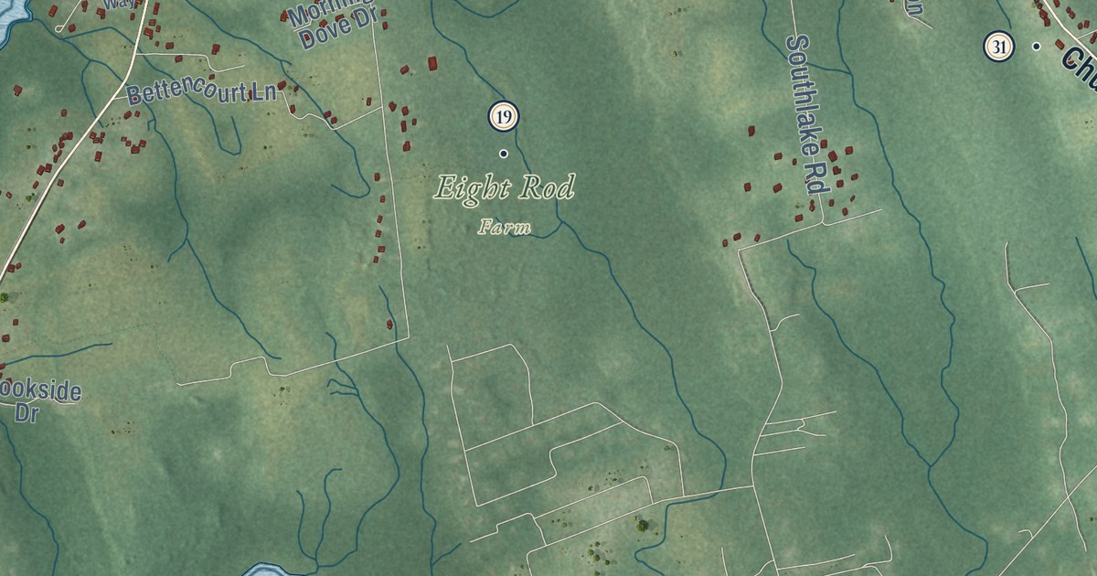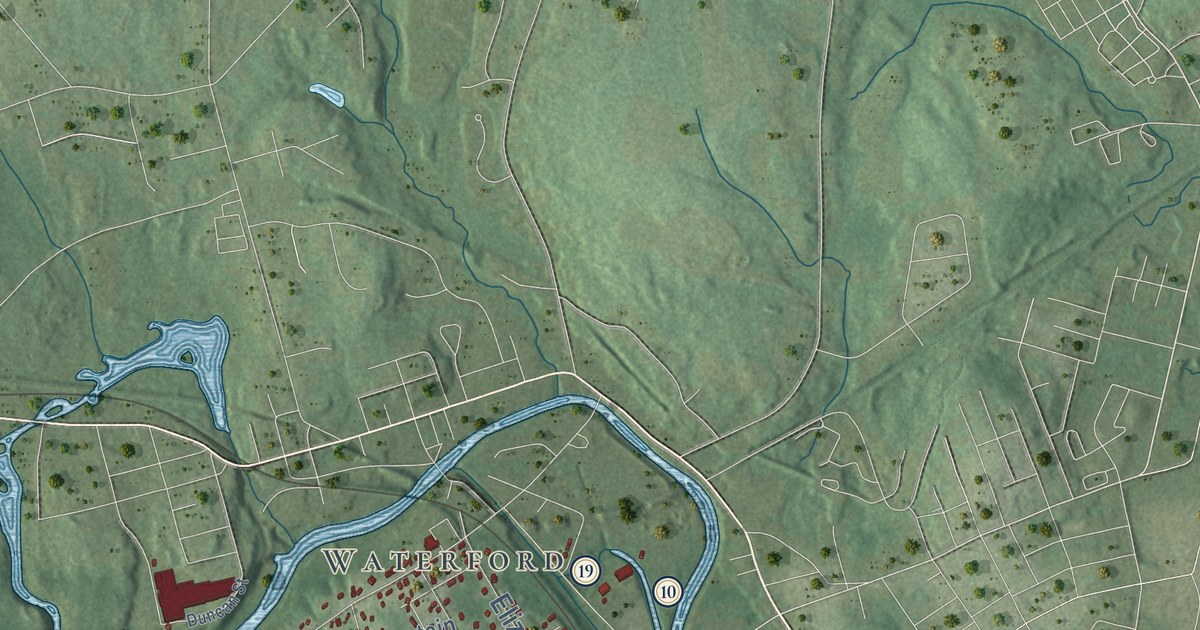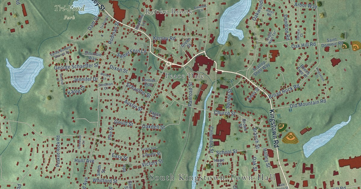
This beautifully detailed map of Wakefield-Peace Dale, Rhode Island was created in 2026 using aerial imagery combined with modern topographical, census, street and landmark data. It's a modern aerial view of Wakefield-Peace Dale in Washington County, Rhode Island, that combines modern data with a vintage aesthetic. The roads feature printed names, and if you look closely you can find your exact house accurately shown in its correct location.
Explore an aerial view of Wakefield-Peace Dale, Rhode Island
On this map you'll find South Kingstown Town Hall, Gould, Rocky Brook, Wakefield, Tri-Pond Park, Curtis Corner, Peace Dale, Kingstown Road, Post Road, Main Street, Kersey Street, Commodore Perry Highway, and more. Each red shape is a building, so zoom in on the preview and look for yours.
Wakefield-Peace Dale has a story worth telling. Peace Dale was named for Mary Peace, the wife of Rowland Hazard. Hazard bought the fulling mill on the Saugatucket River in 1804, and by 1815 looms in his mill were weaving woolen cloth, with every step from carding to finishing done under one roof. That gave the woolen industry a full factory system a year or two ahead of the cotton industry. Later, Peace Dale serge won first prize at the 1893 World's Columbian Exposition. That's from the state Historical Preservation Commission.
Wakefield-Peace Dale is a community in Washington County. The Census Bureau counted 8,925 people here in 2020.
Take a closer look at the Wakefield-Peace Dale map
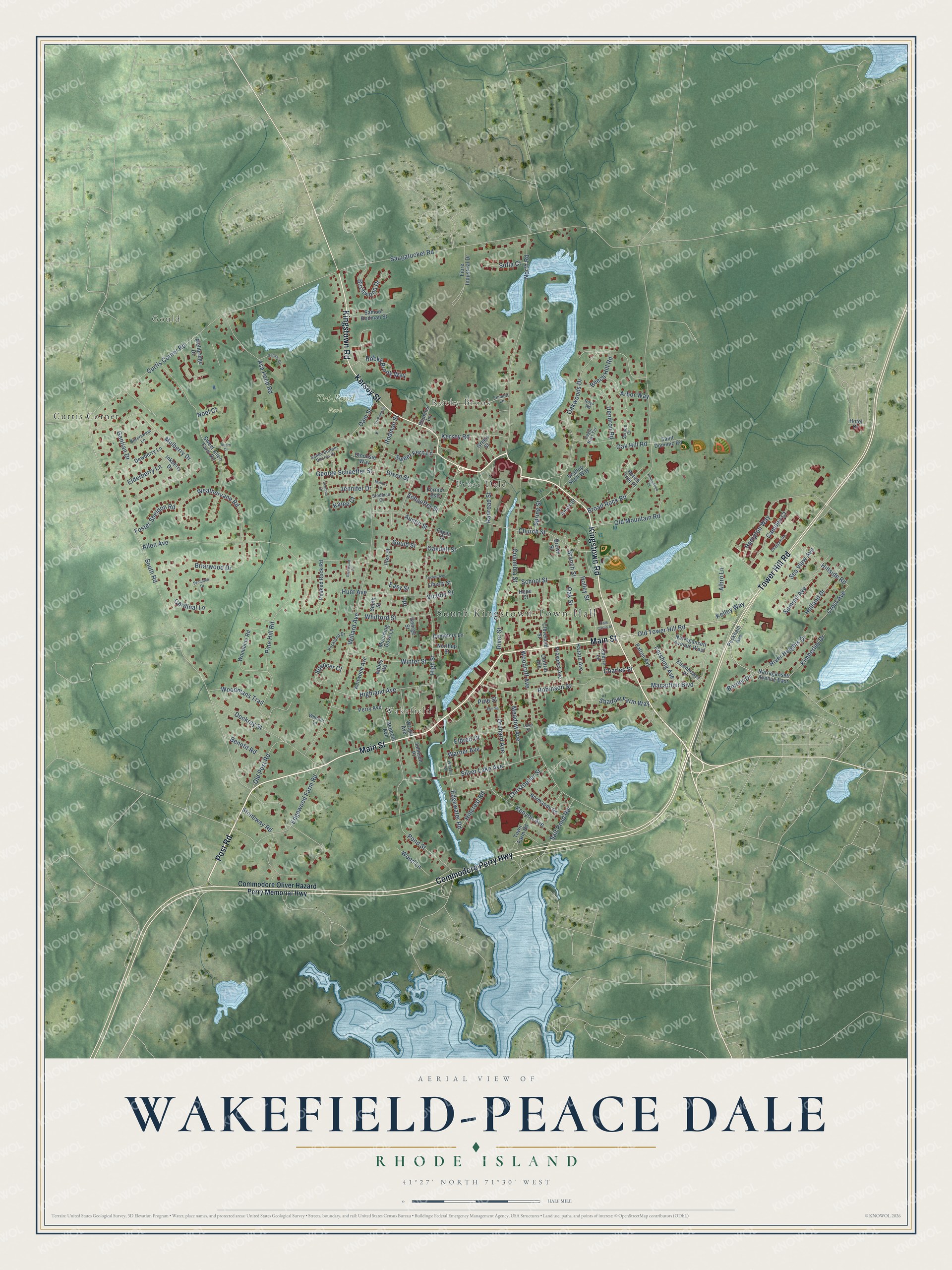
Names on this map
These names are printed on this map.
Places: South Kingstown Town Hall, Gould, Rocky Brook, Wakefield, Tri-Pond Park, Curtis Corner and Peace Dale.
Streets and roads: Kingstown Road, Post Road, Main Street, Kersey Street, Commodore Perry Highway, Tower Hill Road, Old Tower Hill Road, High Street, Gould Street, South Road, Saugatucket Road, Broad Rock Road.
More street names, A to Z
Abbey Road, Acorn Court, Albro Lane, Allen Avenue, Amos Street, Arbor Way, Asa Pond Road, Austin Street, Beech Hill Road, Beech Tree Place, Belmont Avenue, Benefit Road, Birchwood Drive, Bittersweet Lane, Border Drive, Branch Street, Briarwood Drive, Brown Street, Camden Court, Cardinal Lane, Cemetery Lane, Central Avenue, Charles Street, Chatham Road, Cherry Lane, Christopher Street, Church Street, Cleveland Street, Columbia Street, Commodore Oliver Hazard Perry Memorial Highway, Crest Avenue, Curtis Corner Road, Dale Carlia Street, Dam Street, Dendron Road, Dewberry Lane, Dinonsie Way, Dixon Street, Dockray Street, Eagle Nest Terrace, Easy Street, Edgewater Road, Edgewood Farm Road, Eisenhower Place, Elderberry Lane, Eldred Court, Elm Street, Emmett Lane, Fagan Court, Fiore Industrial Drive, Fornier Ests, Foster Sheldon Road, Galway Court, Gentian Drive, George Schaeffer Street, George Street, Glenwood Circle, Green Street, Hampton Way, Hazard Avenue, Highland Avenue, Hillcrest Road, Hillside Road, Holland Drive, Holley Street, Hope Court, Hopkins Lane, Hotel Drive, Hunt Avenue, Ide, Inkberry Drive, Jennifer Drive, Johnson Place, Karee Court, Kelley Way, Kenwood Avenue, Kenyon Avenue, Kersey Road, Kimberley Drive, Kingswood Court, Lake Street, Liberty Street, Macarthur Boulevard, Mallory Lane, Meadow Avenue, Mellbridge Drive, Mourning Dove Lane, Mulberry Drive, Narragansett Avenue East, Narragansett Avenue West, Noel Court, Normandy Road, North Road, Northup Street, Oakdell Street, Oak Hill Road, Oak Street, Oakwoods Drive, Old Mountain Road, Old Post Road, Orchard Avenue, Patton Avenue, Peaked Rock Road, Peckham Avenue, Perry Avenue, Pershing Avenue, Pike Street, Pine Hill Road, Pine Street, Pond Street, Prospect Avenue, Railroad Street, River Heights Drive, River Street, Robinson Street, Rockland Drive, Rocky Brook Way, Rodman Street, Roys Road, Saint Dominic Road, Salt Pond Road, Samuel Rodman Street, Sandy Bottom Shores Drive, Scallop Shell Way, Schaeffer Street, School Street, Sea View Avenue, Secluded Drive, Sentinal Drive, Shadow Farm Way, Silver Lake Avenue, Smith Street, Sofia Court, Spencer Court, Spring Street, Spruce Court, Stedman Court, Stoneway Road, Summit Avenue, Sweet Allen Farm Road, Sweet Fern Lane, Town Farm Road, Tri Pond Court, Tucker Avenue, Victory Street, Warner Avenue, Weathervane Road, Whitford Street, Whittier Lane, Willard Avenue, Windsor Road, Winter Street, Woodbine Road, Wood Lane, Woodmans Trail, Woodruff Avenue, Wright Avenue.
See it on a wall
The Wakefield-Peace Dale map as a framed print. Swipe for more.


Created by KNOWOL in 2026. The buildings are small red shapes, the roads carry their printed names, and shaded relief shows the shape of the land. The title panel reads "AERIAL VIEW OF WAKEFIELD-PEACE DALE, RHODE ISLAND" with 41°27' NORTH 71°30' WEST.
It looks right in a kitchen, an office or a den, and it's a gift for anyone who grew up in Wakefield-Peace Dale or moved away. Open the preview and find your street. See sizes and frames for the Wakefield-Peace Dale map.