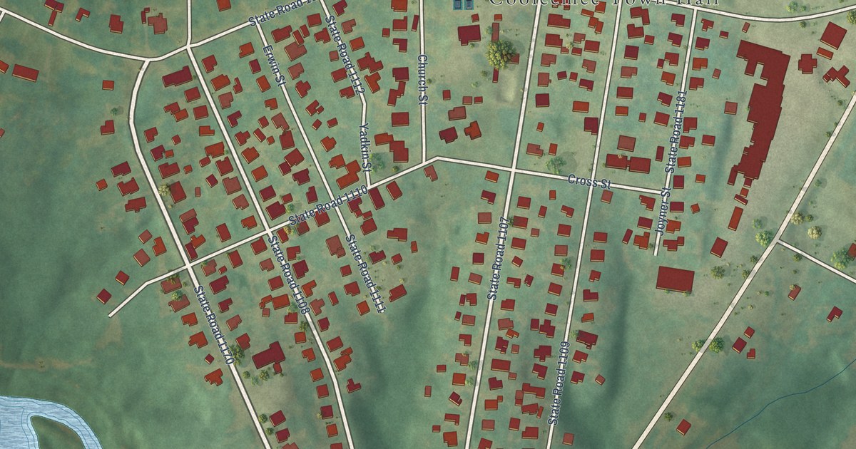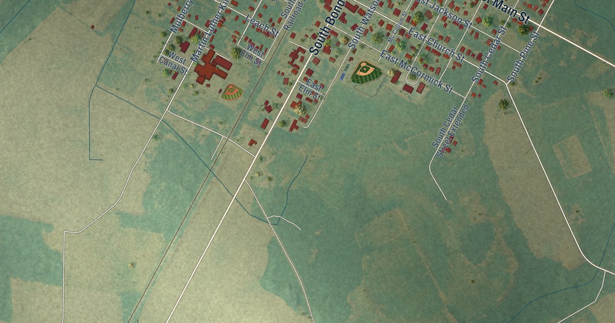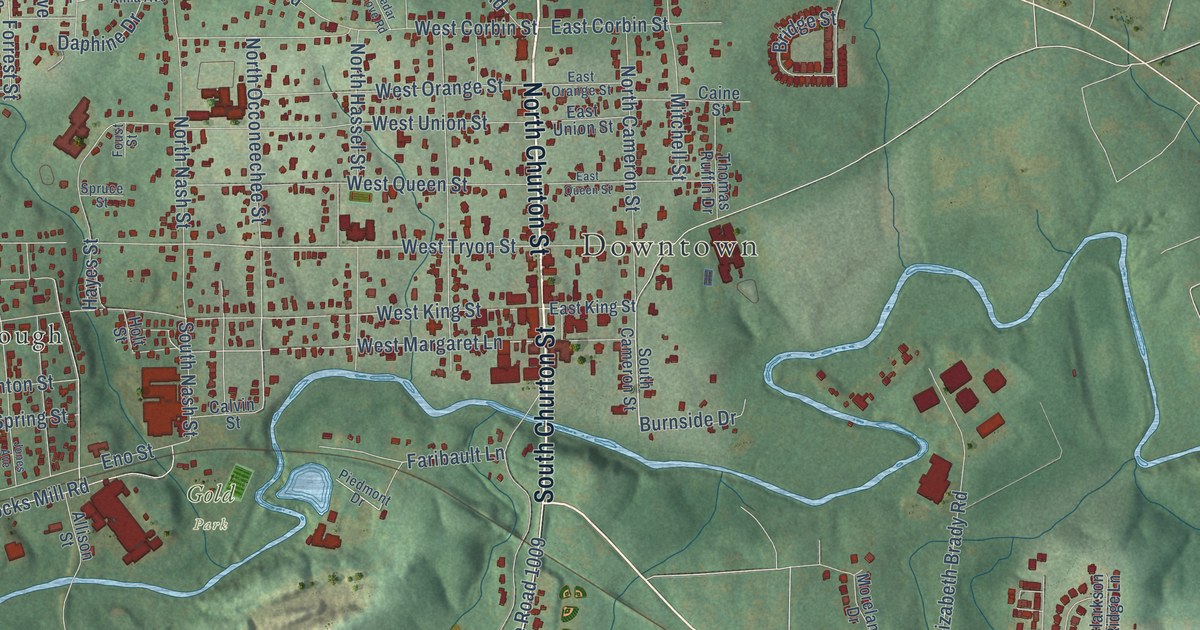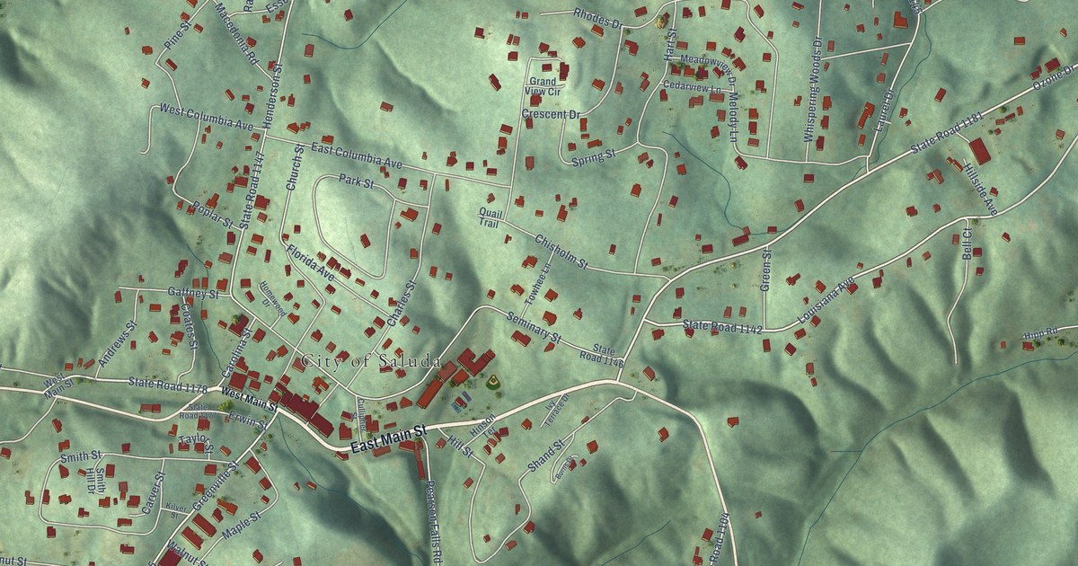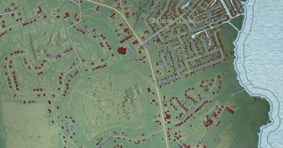
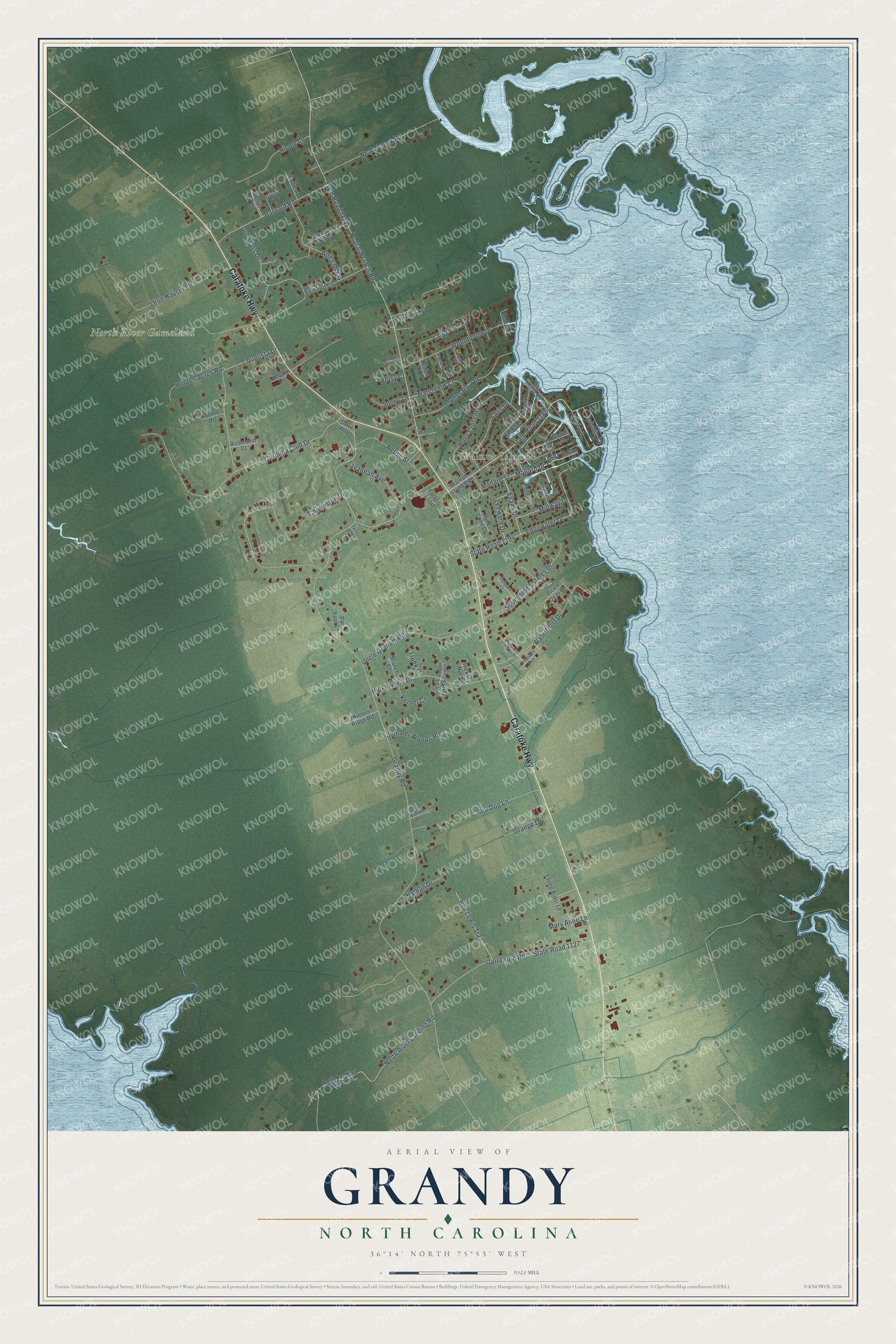
This beautifully detailed map of Grandy, North Carolina was created in 2026 using aerial imagery combined with modern topographical, census, street and landmark data. It's a modern aerial view of Grandy in Currituck County, North Carolina, that combines modern data with a vintage aesthetic. The roads feature printed names, and if you look closely you can find your exact house accurately shown in its correct location.
Explore an aerial view of Grandy, North Carolina
On this map you'll find Walnut Island, North River Gameland, Caratoke Highway, Shell Drive, State Road 1186, Anna's Way, Mallard Drive, State Road 1127, Waterview Court, Evans Drive, Grandy Road, Poplar Branch Road, and more. Each red shape is a building, so zoom in on the preview and look for yours.
Grandy is a community in Currituck County. The Census Bureau counted 2,776 people here in 2020. Grandy sits about 8 miles northwest of Duck, 9 miles southeast of Coinjock and 12 miles northwest of Southern Shores. The map prints the town name in its title panel, with the coordinates below it.
Take a closer look at the Grandy map
Names on this map
These names are printed on this map.
Places: Walnut Island and North River Gameland.
Streets and roads: Caratoke Highway, Shell Drive, State Road 1186, Anna's Way, Mallard Drive, State Road 1127, Waterview Court, Evans Drive, Grandy Road, Poplar Branch Road, State Road 1131, Carolina Club Drive.
More street names, A to Z
Admiralty Drive, Andrew Drive, Augusta Drive, Autumn Leaf Court, Barefoot Lane, Barnard Road, Ben Lewis Trail, Betsy Court, Branch Court, Carol Court, Charleston Drive, Compass Drive North, Coral Lane, Dolphin Court, Dot Sears Drive, Dowdys Bay Road, Drive Way, Edgewater Drive, Edsel Lane, Faris Drive, Forbes Loop, Garrenton Road, Grange Drive, Gregory Court, Hickory Hill Drive, Hickory Nut Court, Hidden Acres Road, Holly Cresent Drive, Hunters Ridge Road, Hutton Court, Ikes Way, Inlet Lane, Jerrold Court, Kelly Lane, Kernel Court, Koontz Drive, Larry Avenue, Leeward Drive, Leon Hauser Lane, Mallard Court, Mallard Lane, Mallard Street, Martha's Lane, Mary Anne Lane, Midway Drive, Mimosa Lane, Nathan Drive, Neals Creek Road, Neuse Street, Nicole Lane, North Keller Lane, North Landing River Road, North River Landing Road, Outback Lane, Par Four Lane, Perrys Way, Pine Cone Court, Pirate Quay Lane, Red Dog Lane, Richmond Court, Saddle Club Drive, Savannah Avenue, Scoter Court, Seahawk Court, Sea Horse Lane, Soundside Estates Drive, Spring Leaf Court, State Road 1194, Summer Woods Road, Sundown Court, Sunny Lane, Teal Court, Tk's Lane, Treasure Run, Trunk Court, Tuckers Lair, Uncle Graham Road, Walnut Island Boulevard, Waterfront Drive, Woodhouse Drive, Young Rider Lane.
See it on a wall
The Grandy map as a framed print. Swipe for more.


Created by KNOWOL in 2026. The buildings are small red shapes, the roads carry their printed names, and shaded relief shows the shape of the land. The title panel reads "AERIAL VIEW OF GRANDY, NORTH CAROLINA" with 36°14' NORTH 75°53' WEST.
Hang it in the hallway, the office or the cabin, or give it to someone who left Grandy and still calls it home. Open the preview and look for a street you know. See sizes and frames for the Grandy map.