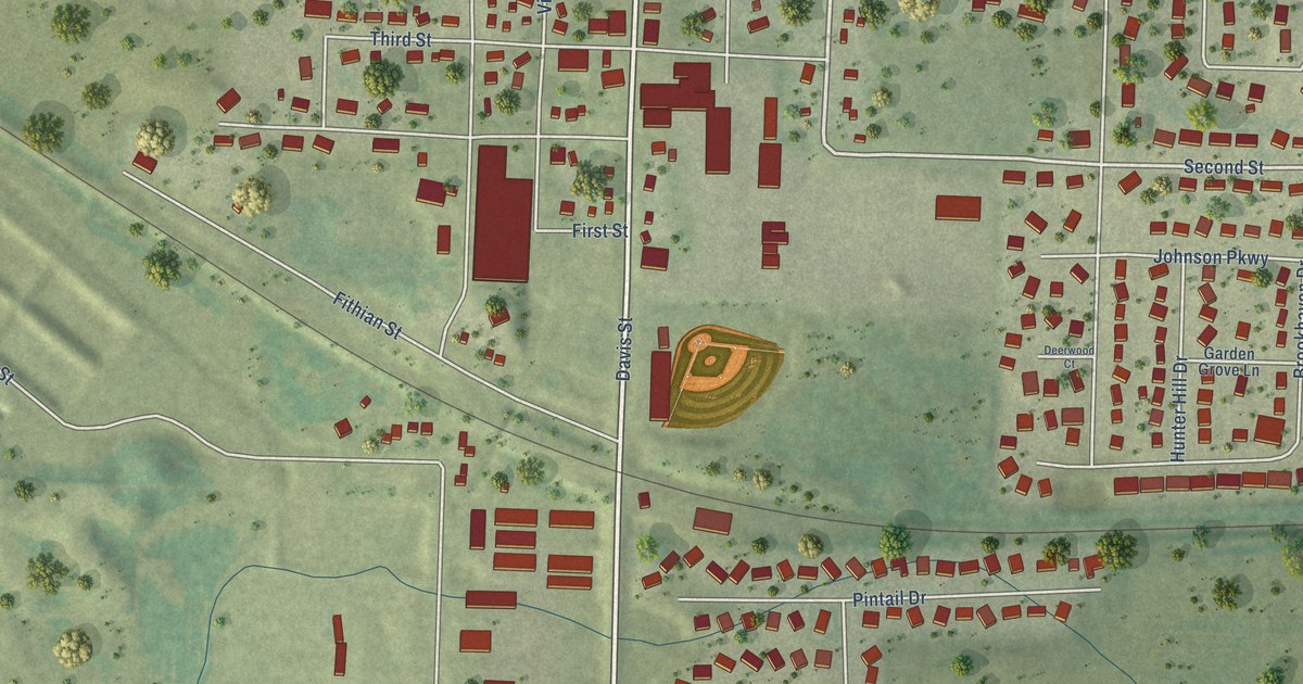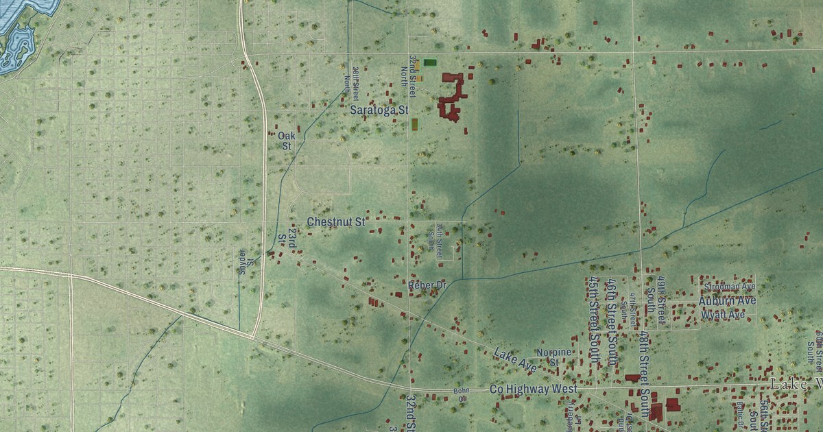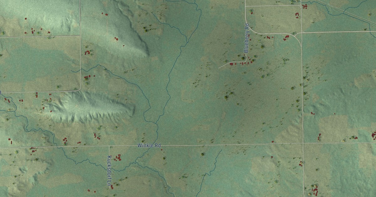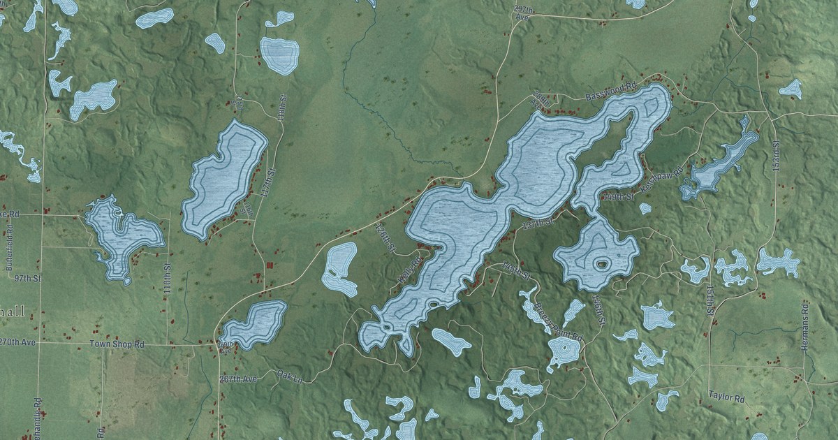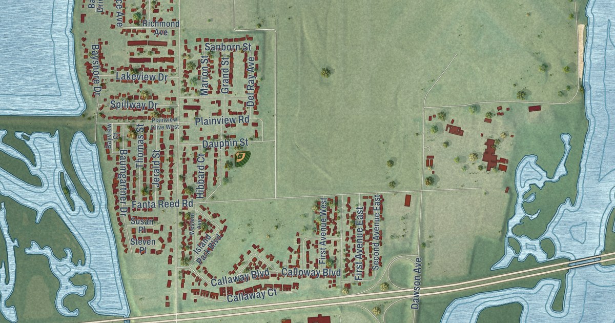
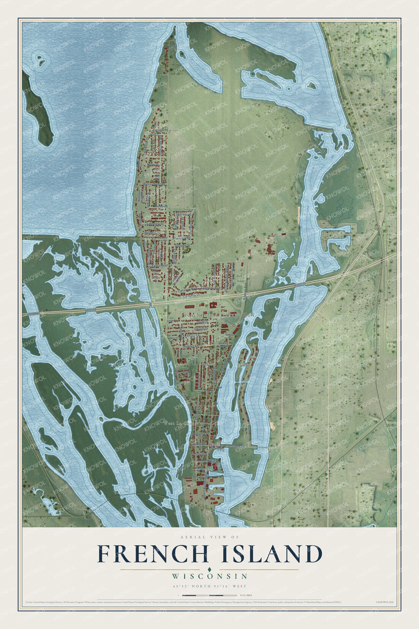
This beautifully detailed map of French Island, Wisconsin was created in 2026 using aerial imagery combined with modern topographical, census, street and landmark data. It's a modern aerial view of French Island in La Crosse County, Wisconsin, that combines modern data with a vintage aesthetic. The roads feature printed names, and if you look closely you can find your exact house accurately shown in its correct location.
Explore an aerial view of French Island, Wisconsin
On this map you'll find French Island Village Hall, West La Crosse, Clinton Street, Tellin Court, South Bainbridge Street, La Fond Avenue, Callaway Boulevard, Edgewater Drive, Sanborn Street, Lake Shore Drive, Bainbridge Street, Lakeshore Drive, and more. Each red shape is a building, so zoom in on the preview and look for yours.
Here is a piece of French Island history. Joseph French, whose family came from Leicestershire, England, arrived in May 1851 as one of the earliest settlers of the town of Campbell. Settlers with French Canadian names such as Goyette and La Belle followed. Many farms grew up on the island, and sawmills were built along the Black River. The town of Campbell, settled in 1851, was named for E. D. Campbell, a former lieutenant governor of Wisconsin. That's from the Village of French Island.
French Island is a community in La Crosse County. The Census Bureau counted 4,284 people here in 2020.
Take a closer look at the French Island map
Names on this map
These names are printed on this map.
Places: French Island Village Hall and West La Crosse.
Streets and roads: Clinton Street, Tellin Court, South Bainbridge Street, La Fond Avenue, Callaway Boulevard, Edgewater Drive, Sanborn Street, Lake Shore Drive, Bainbridge Street, Lakeshore Drive, Caroline Street, La Crescent Street.
More street names, A to Z
Aiken Road, Baumgartner Drive, Bayshore Drive, Bayshore Drive North, Bayview Court, Breezy Point Road, Callaway Court, Calloway Boulevard, Church Drive, Cilnton Street, Copus Court, Dauphin Street, Dawson Avenue, Dawson Place, Del Ray Avenue, Dorn Place, Edgewater Lane, Elm Street, Fanta Reed Road, First Avenue East, First Avenue West, Grand Street, Hanson Court, Hanson Road, Hibbard Court, Hinkley Road, Hinkley Road East, Howry Avenue, Island Park Boulevard, Jackie Lane, Jerald Street, Kelly Place, Kime Street, Lacresent Court, Lakeview Drive, Locust Street, Lori Place, Marina Drive, Marion Street, Maryline Court, Miller Place, Nakomis Avenue, Nelson Park Road, Olivet Court, Olivet Street, Pierce Avenue, Plainview Drive West, Plainview Road, Richmond Avenue, Second Avenue East, Sharon Street, Shelly Lane, Sky Harbour Drive, Sperbeck Street, Spillway Drive, Steven Place, Susan Place, Thomas Street, Usher Street, Walnut Street, Washburn Street, Western Avenue, William Street, Youngdale Avenue.
See it on a wall
The French Island map as a framed print. Swipe for more.


Created by KNOWOL in 2026. The buildings are small red shapes, the roads carry their printed names, and shaded relief shows the shape of the land. The title panel reads "AERIAL VIEW OF FRENCH ISLAND, WISCONSIN" with 43°52' NORTH 91°16' WEST.
It suits a den, a classroom or a front hall, and it makes a gift for anyone with French Island roots. Open the preview and find the block you know. See sizes and frames for the French Island map.