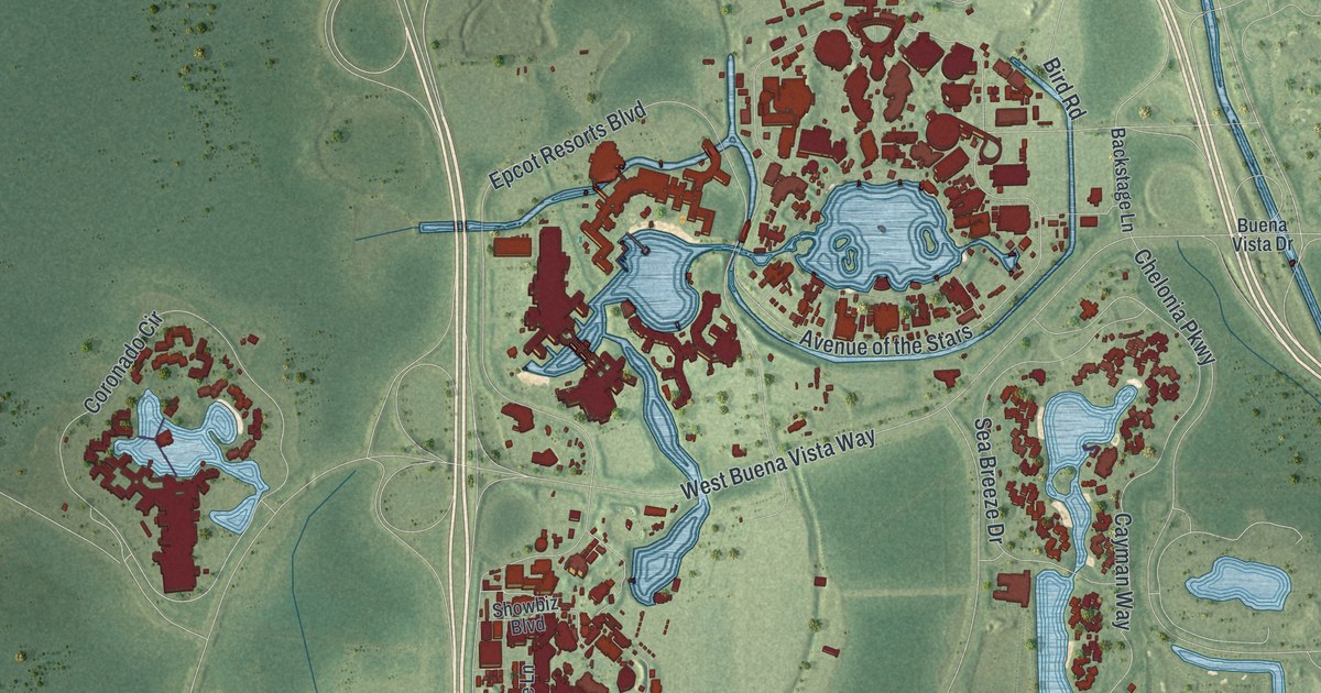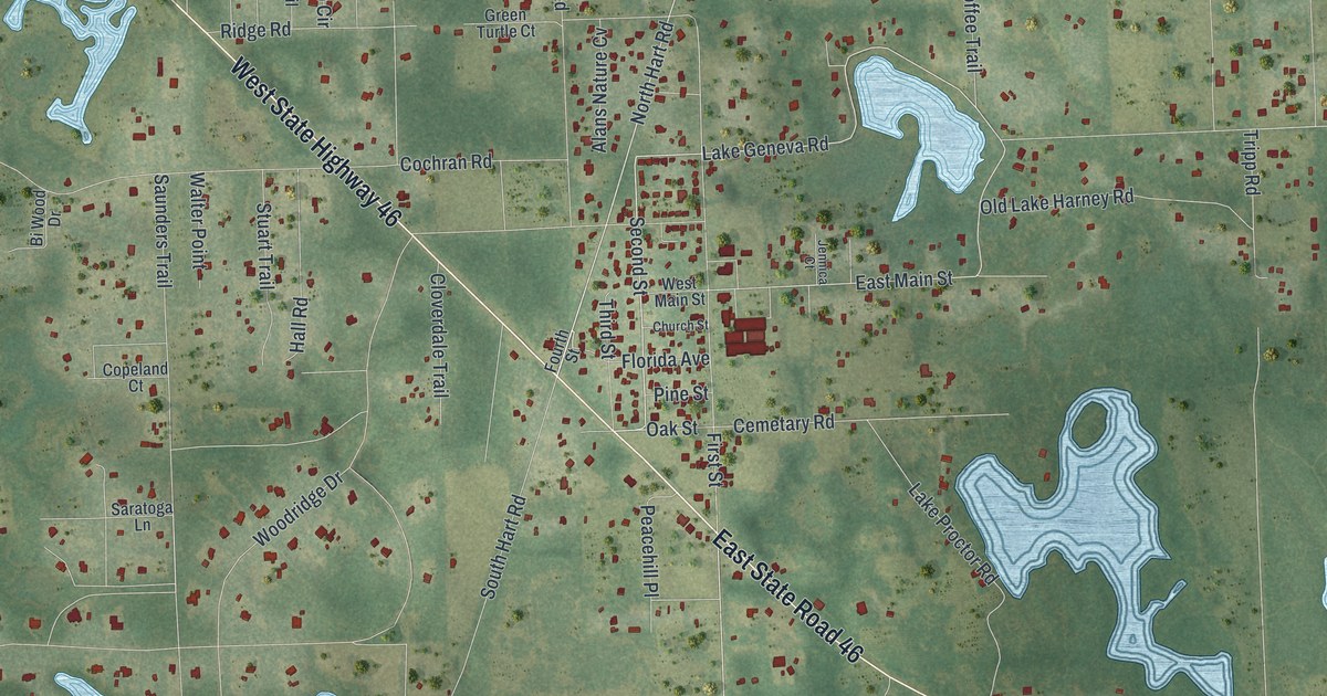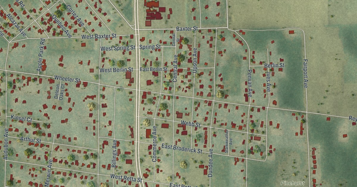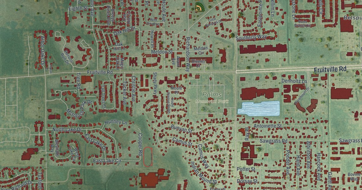
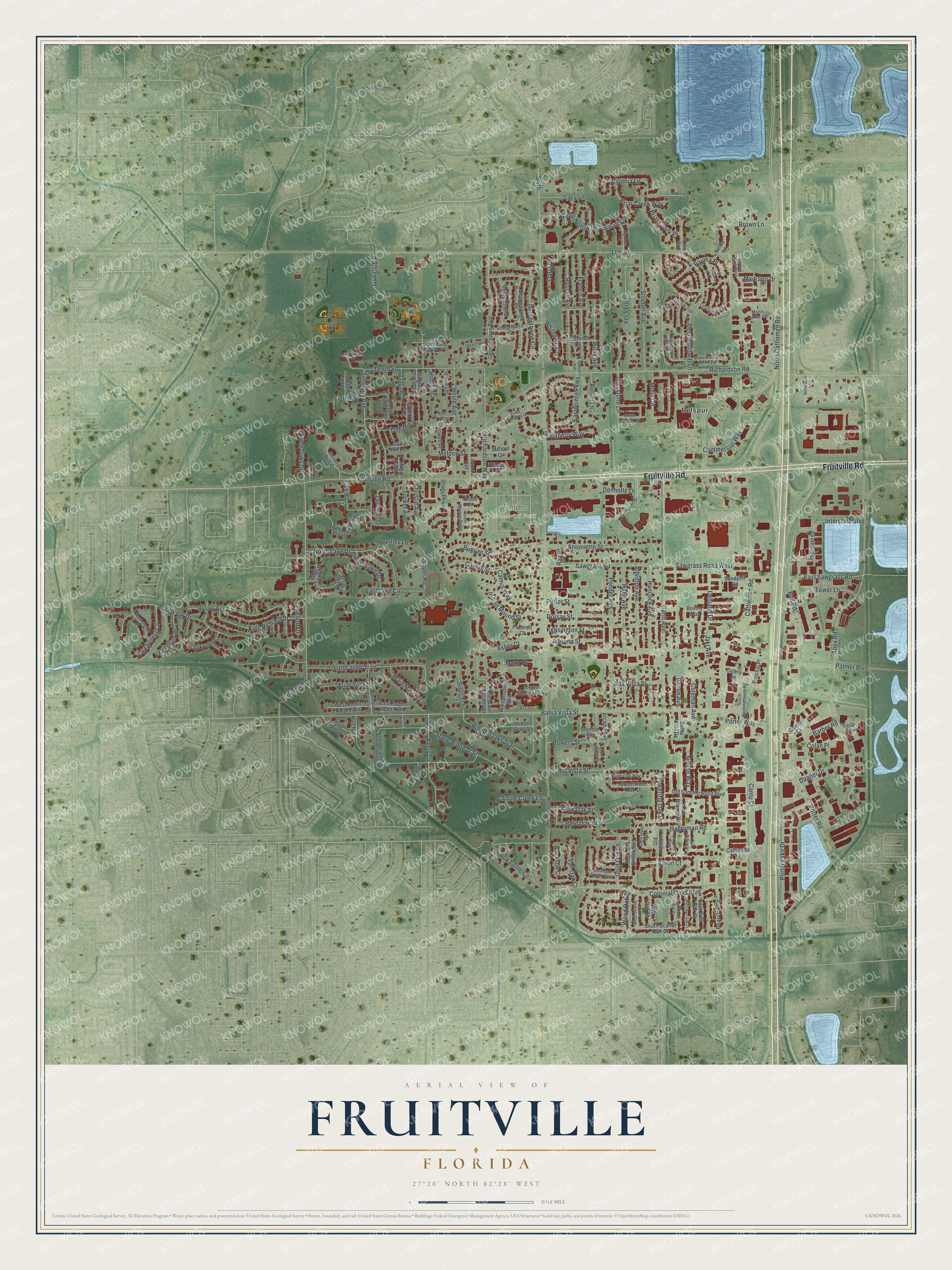
This beautifully detailed map of Fruitville, Florida was created in 2026 using aerial imagery combined with modern topographical, census, street and landmark data. It's a modern aerial view of Fruitville in Sarasota County, Florida, that combines modern data with a vintage aesthetic. The roads feature printed names, and if you look closely you can find your exact house accurately shown in its correct location.
Explore an aerial view of Fruitville, Florida
On this map you'll find Palms Memorial Park, Belspur, Fruitville Road, Simmons Avenue, Bahia Vista Street, McIntosh Park Drive, Manz Place, Indian Mound Street, Box Turtle Circle, Gun Club Road, Tenth Street, Honore Avenue, and more. Each red shape is a building, so zoom in on the preview and look for yours.
Every town has a first chapter, and Fruitville is no exception. Pioneer Charles L. Reaves named Fruitville, and from 1895 he handled the mail for its 115 residents from his own home as postmaster. In the late 1880s he and his wife, Martha Tatum, started the school that became Fruitville Elementary, in a converted corn crib. Miss Josie Clower was the first teacher, and the Reaves family's three children and seven neighbor children were her first pupils. That's from the Sarasota County Historical Commission.
Fruitville is a community in Sarasota County. The Census Bureau counted 15,484 people here in 2020.
Take a closer look at the Fruitville map
Names on this map
These names are printed on this map.
Places: Palms Memorial Park and Belspur.
Streets and roads: Fruitville Road, Simmons Avenue, Bahia Vista Street, McIntosh Park Drive, Manz Place, Indian Mound Street, Box Turtle Circle, Gun Club Road, Tenth Street, Honore Avenue, North Cattlemen Road, Cattlemen Road.
More street names, A to Z
17th Street, Aaron Court, Albritton Avenue, Alden Garden Way, Alta Vista Street, Altoona Street, Antoinette Street, Apex Road, Arbor Oaks Drive, Arcadia Avenue, Arrow Avenue, Asher Court, Avant Avenue, Bacon Avenue, Bahia Vista Drive, Barber Road, Bay Hill Circle, Bell Road, Bent Oak Drive, Black Oak Court, Blaurock Place, Bokhara Place, Bovine Way, Bowers Street, Breezy Pines Boulevard, Briar Creek Lane, Briar Creek Place, Briar Creek Way, Briar Oak Circle, Brown Lane, Bunyan Street, Burnt Branch Circle, Camus Street, Camus Way, Cantu Court, Cattlemen Lane, Cedarcrest Court, Cedar Hammock Drive, Celery Lane, Chinkapin Drive, Christie Avenue, Clarity Court, Clifford Avenue, Colan Place, Coleman Avenue, Colonial Oaks Boulevard, Commercial Way, Cooper Road, Cork Oak Street, Cork Oak Street East, Cork Oak Street West, Cornish Court, Count Nicholas Court, Covington Way, Cynthia Lane, Danner Drive, Daryl Drive, Deer Hollow Boulevard, Deer Hollow Lane East, Deer Hollow Lane West, Deer Hollow Trail, Deloach Drive, Denholtz Lane, Diventi Court, Dorsay Street, East Burr Oak Court, East Lake Circle, East Lake Drive, Eastpointe Parkway, East Robin Hood Trail, East Sawgrass Road, East Scarlet Oak Court, Edgar Place, Eighth Street, Eleventh Street, Faulkwood Court, Forestview Drive, Foxcroft Court, Francis Avenue, Friar Tuck Lane, Gantt Avenue, Georgetowne Boulevard, Georgetowne Circle, Georgetowne Drive, Georgetowne Lane, Georgetowne Place, Gold Oak Lane, Greystone Lane, Hagerman Road, Hamilton Oaks Lane, Hancock Avenue, Hand Avenue, Herons Run Drive, Hidden Oaks Lane, Hidden Oaks Trail, Home Place, Houle Avenue, Houle Avenue South, Houle Place, Howell Place, Huntley Lane, Interstate Boulevard, Interstate Court, Jakl Avenue, Keely Lane, Kensington Street, King Richard Drive, Lacy Lane, Little John Trail, Loquat Lane, Madrano Drive, Magic Oak Lane, Maid Marian Lane, Marlin Lakes Circle, McIntosh Road, Meldon Circle, Meldon Street, Mellon Way, Menno Simons Parkway, Molly Circle, Napoli Drive West, Nelda Lane, North Lake Drive, Oak Branch Drive, Oak Hill Circle, Oak Hill Drive, Oak Hill Lane, Oak Vista Drive, Old Arbor Court, Old Pine Way, Old Summerwood Boulevard, Old Trenton Lane, Old Trevor Way, Painted Turtle Lane, Palmer Boulevard, Paramount Drive, Paschal Place, Pauma Court, Pauma Place, Pleasant Estates Drive, Ponder Avenue, Porter Lake Drive, Porter Road, Porter Way, Potter Street, Quail Run Lane, Quail Run Trail, Ray Place, Rellim Lane, Richardson Lane, Richardson Road, Richardson Way, Rio Vista Street, Russell Avenue, Sandphil Road, Sattler Lane, Sawgrass Road, Sawgrass Road West, Shady Parkway, Sherwood Forest Drive, Shorecrest Drive, Sirus Trail, Sixth, Southerly Way, South Packinghouse Road, South Scarlet Oak Court, Speasmaker Lane, Stoeber Avenue, Stonecrest Drive, Stone Ridge, Stoneridge Circle, Stone Ridge Terrace, Stone Ridge Trail, Sweetwater Oak Drive, Taaga Place, Tall Oak Court, Tall Trees Court, Tangled Oaks Drive, Towering Oak Drive, Tower Lane, Tree Road, Tucker Avenue, Turtle Creek Lane, Tuxford Drive, Ver Verde, Wasatch Drive, West Burr Oak Court, West Lake Circle, Westlake Way, West Robin Hood Trail, West Scarlet Oak Court, Whitegate Court, Wild Dove Lane, Wilde Oak Way, Willis Avenue, Witmarsum Boulevard, Wood Hollow Drive, Wood Oak Drive, Woodview Drive, Wye Oak Lane, Wyndham Drive.
See it on a wall
The Fruitville map as a framed print. Swipe for more.


Created by KNOWOL in 2026. The buildings are small red shapes, the roads carry their printed names, and shaded relief shows the shape of the land. The title panel reads "AERIAL VIEW OF FRUITVILLE, FLORIDA" with 27°20' NORTH 82°28' WEST.
Hang it in the hallway, the office or the cabin, or give it to someone who left Fruitville and still calls it home. Open the preview and look for a street you know. See sizes and frames for the Fruitville map.