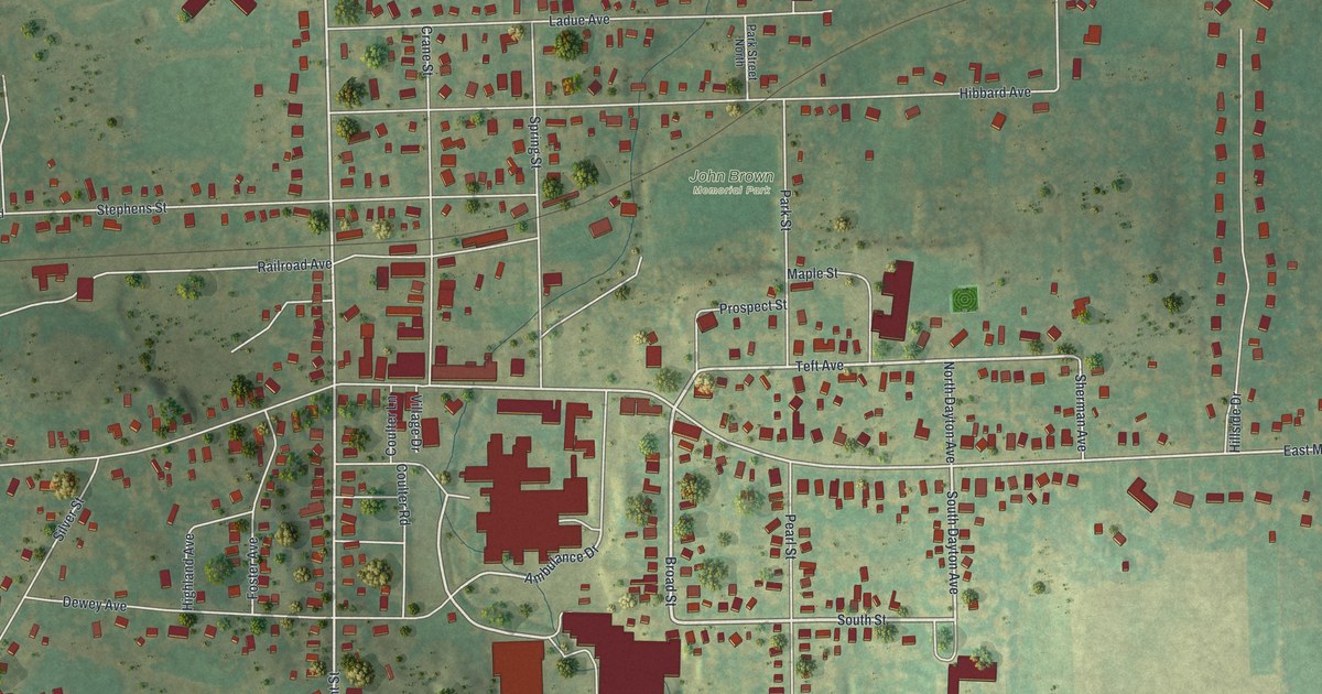
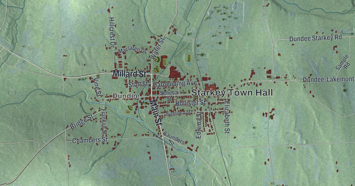
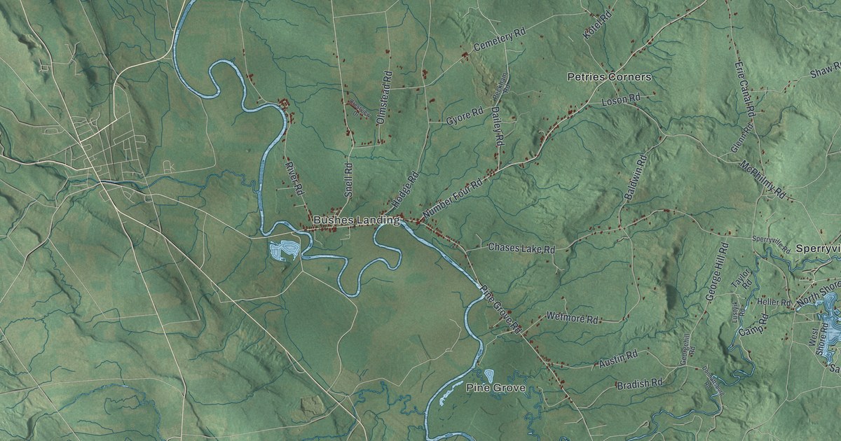
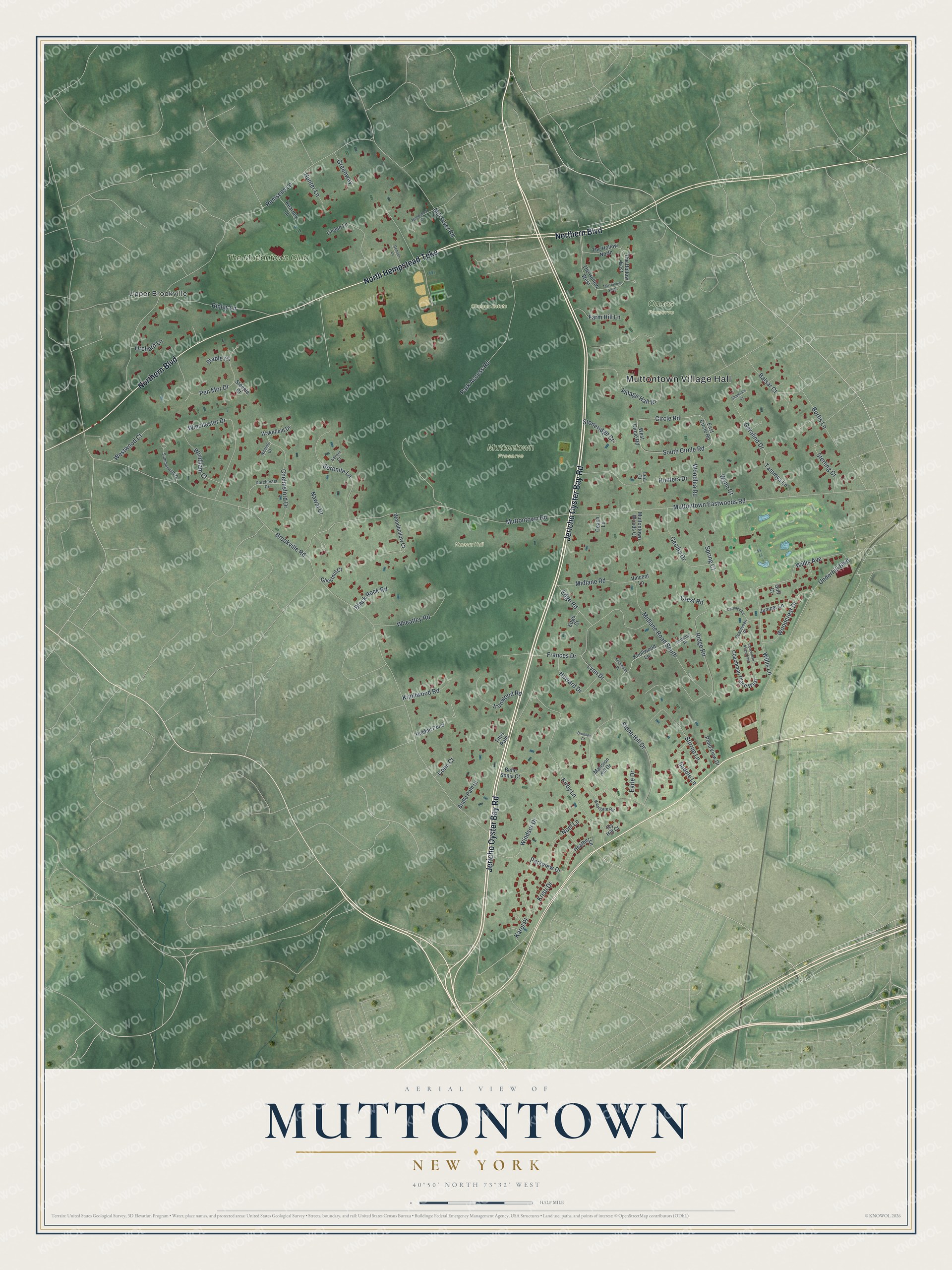
This beautifully detailed map of Muttontown, New York was created in 2026 using aerial imagery combined with modern topographical, census, street and landmark data. It's a modern aerial view of Muttontown in Nassau County, New York, that combines modern data with a vintage aesthetic. The roads feature printed names, and if you look closely you can find your exact house accurately shown in its correct location.
Explore an aerial view of Muttontown, New York
On this map you'll find Muttontown Village Hall, Chelsea Estate, Muttontown Preserve, Nassau Hall, Oaces Preserve, Upper Brookville, The Muttontown Club, Jericho Oyster Bay Road, Northern Boulevard, North Hempstead Turnpike, Ridge Road, Brookville Road, and more. Each red shape is a building, so zoom in on the preview and look for yours.
Every town has a first chapter, and Muttontown is no exception. Muttontown got its name from sheep. In the 1600s the early English and Dutch settlers found its rolling hills ideal for the thousands of sheep that grazed there, giving them mutton and wool, and the land was long known as a great sheep district. The village was incorporated on August 31, 1931, and its first mayor, Benjamin Moore, made his home at Chelsea Mansion, which now stands on the Muttontown Preserve. That's from the Village of Muttontown.
Muttontown is a village in Nassau County. The Census Bureau counted 3,512 people here in 2020.
Take a closer look at the Muttontown map
Names on this map
These names are printed on this map.
Places: Muttontown Village Hall, Chelsea Estate, Muttontown Preserve, Nassau Hall, Oaces Preserve, Upper Brookville and The Muttontown Club.
Streets and roads: Jericho Oyster Bay Road, Northern Boulevard, North Hempstead Turnpike, Ridge Road, Brookville Road, Remsens Lane, Muttontown Road, Muttontown Eastwoods Road, Stone Hill Drive, Kirby Lane, Circle Road, Midlane Road South.
More street names, A to Z
Balsar Court, Belle Sonia Court, Black Rock Road, Bridle Path Court, Bromley Court, Burtis Lane, Carriage Road, Cecilia Drive, Chelmsford Drive, Chestnut Court, Coach Lane, Coachman Place, Coachman Place East, Coachman Place West, Conn Court, Crest Road, Dorchester Drive, Earle Drive, East Circle Road, Edge Court, Edge Road, Farm Hill Lane, Frances Drive, Geralind Drive, Golf Court, Greenway, Heather Lane, Hidden Pond, Howard Drive, Hunter Lane, Hunters Drive, Ironwood Road, Ivy Hill Court, Juniper Lane, Karol Place, Kearney Lane, Knollwood Lane, Knollwood Place, Knollwood Road, Kristi Drive, Lansing Place, Lea Court, Linden Lane, Lynn Drive, Mansion Hill Drive, Midlane Road, Mill River Road, Muttontown Woods Court, Nawal Drive, Nichols Court, Noel Lane, Orchard Lane, Park Access Road, Parkview Drive, Pen Mor Drive, Pond View Drive, Remsen Lane, Ripley Lane, Saddle Lane, Serein Court, Serenite Lane, Shamrock Court, South Circle Road, Spring Court, Stable Court, Steeple Court, Sterling Court, Stirrup Lane, Stoneridge Court, Summerwind Drive, Tammys Lane, The Hollow East, The Hollow North, The Hollow South, The Hollow West, Titus Path, Underhill Boulevard, Village Hall Drive, Vincent Lane, Wakefield Drive, West Circle Road, Westgate Road, Westwood Court, Wheatley Road, Willis Avenue, Willis Lane, Winchester Drive, Windham Court, Windsor Drive, Woodcrest Drive, Woodhollow Court, Woodlea Road, Woodstock Court, Wynn Court.
See it on a wall
The Muttontown map as a framed print. Swipe for more.


Created by KNOWOL in 2026. The buildings are small red shapes, the roads carry their printed names, and shaded relief shows the shape of the land. The title panel reads "AERIAL VIEW OF MUTTONTOWN, NEW YORK" with 40°50' NORTH 73°32' WEST.
Hang it in the hallway, the office or the cabin, or give it to someone who left Muttontown and still calls it home. Open the preview and look for a street you know. See sizes and frames for the Muttontown map.