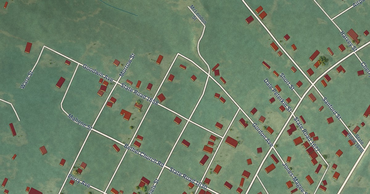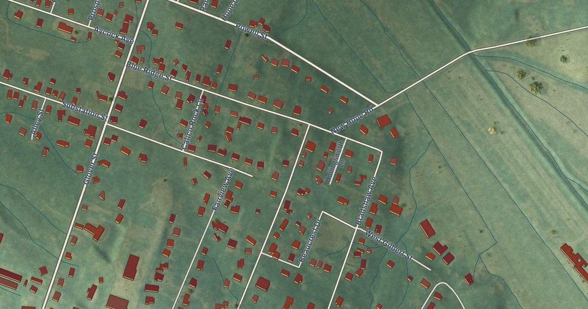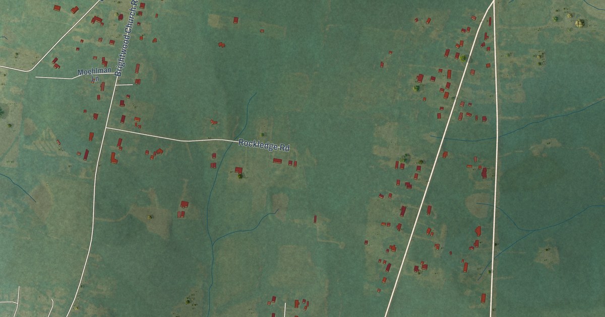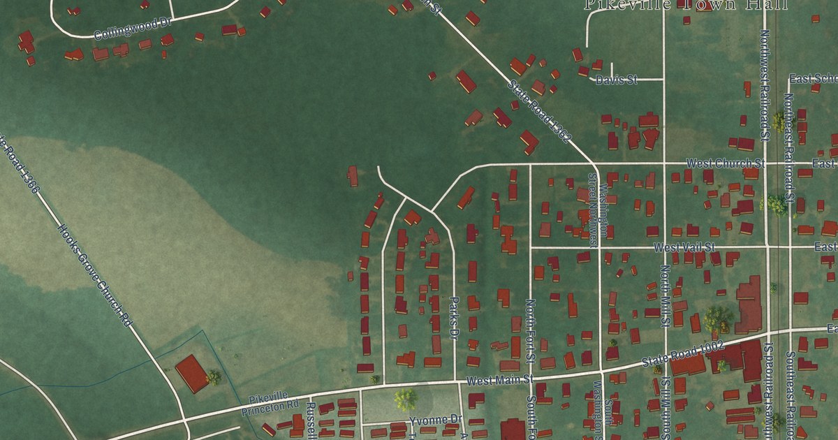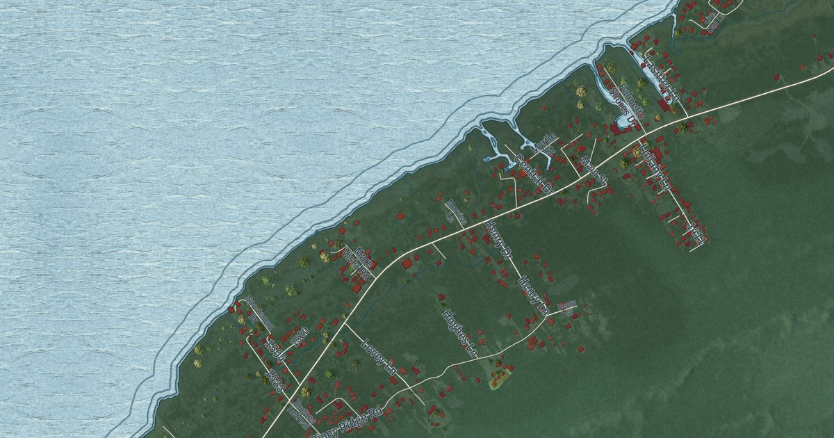
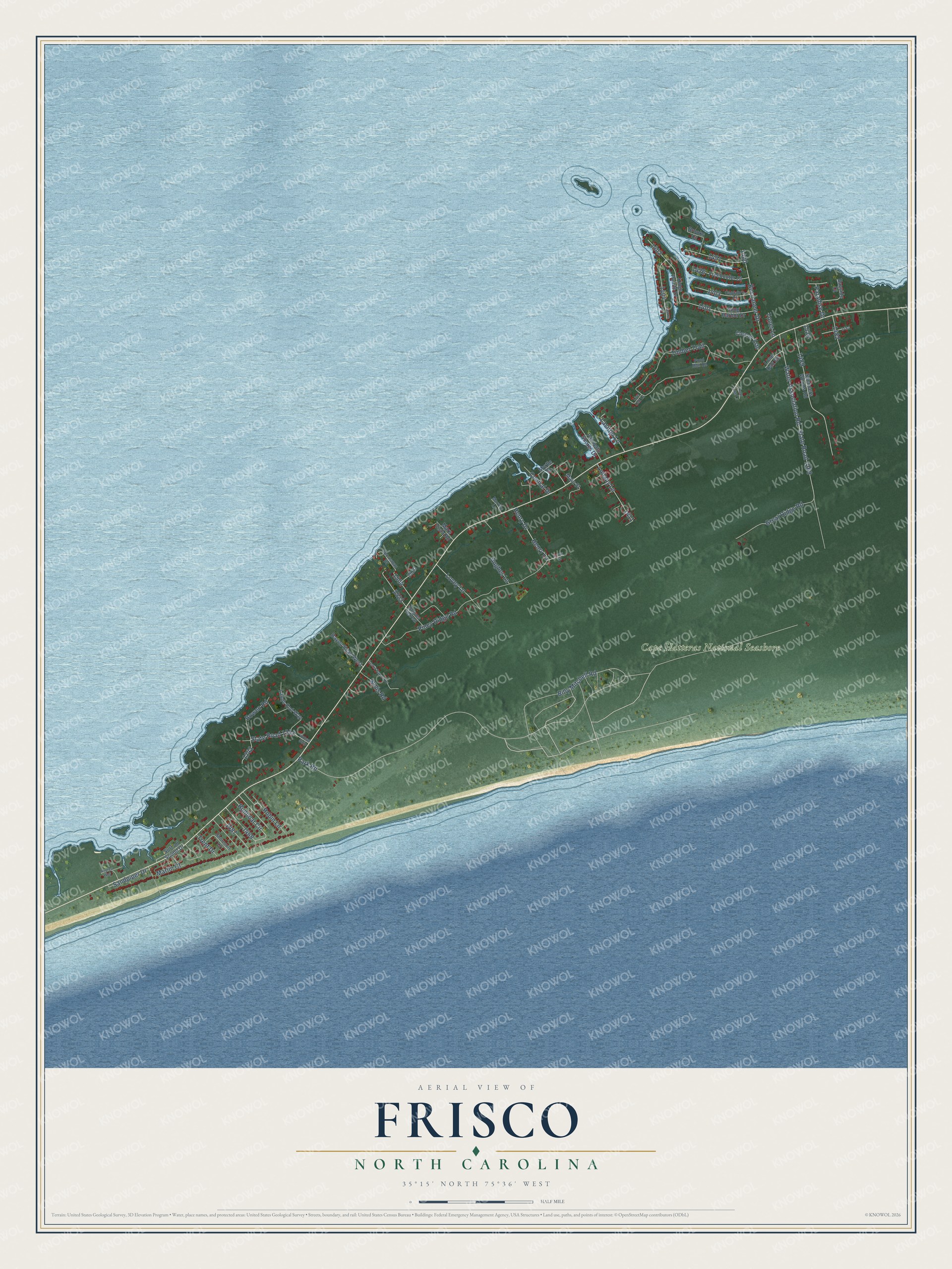
This beautifully detailed map of Frisco, North Carolina was created in 2026 using aerial imagery combined with modern topographical, census, street and landmark data. It's a modern aerial view of Frisco in Dare County, North Carolina, that combines modern data with a vintage aesthetic. The roads feature printed names, and if you look closely you can find your exact house accurately shown in its correct location.
Explore an aerial view of Frisco, North Carolina
On this map you'll find Cape Hatteras National Seashore, Lasitter Lane, Billy Mitchell Road, Piney Ridge Road, Park Road, Timber Trail, State Road 1269, Water Association Road, Runboat Circle, Buccaneer Drive, Great Ridge Road, Henry Drive, and more. Each red shape is a building, so zoom in on the preview and look for yours.
Frisco has a story worth telling. Frisco was first known as Trent. When its post office opened in 1898 it was named Frisco, perhaps to avoid confusion with Trenton in Jones County. In 1795 three sand hills there were called Stowe's Hills, and later the name Creed's Hill went to one large hill south of the village. That's from the North Carolina Gazetteer.
Frisco is a community in Dare County. The Census Bureau counted 994 people here in 2020.
Take a closer look at the Frisco map
Names on this map
These names are printed on this map.
Places: Cape Hatteras National Seashore.
Streets and roads: Lasitter Lane, Billy Mitchell Road, Piney Ridge Road, Park Road, Timber Trail, State Road 1269, Water Association Road, Runboat Circle, Buccaneer Drive, Great Ridge Road, Henry Drive, Henry Lane.
More street names, A to Z
Bayou Road West, Bayside Court, Bowen Road, Brooks Court, Captain's Court, Central Drive, Cleaver Ests, Freebooter Court, Henry Street, Hughes Lane, Kings Pointe Drive, Lands End Way, Lester Farrow Drive, Live Oak Lane, Lone Oak Road, Lovey Lane, Lullaby Lane, Main Street, Mare Vista Road, Marlin Court, Morriss Lane, Myrtle Street, Osprey Way, Palmetto Shores Drive, Paradise Drive, Pond Run Road, Robin Lane, Rogues Retreat, Sandpiper Drive, Shoresurf Lane, Snug Harbor Drive, Spencers Woods Road, Sportsman Drive, State Road 1242, Sunset Strip, Surf on Sound Drive, Toner Lane, Treasure Court, Trent Drive, Trent Lake Lane, Willis Road.
See it on a wall
The Frisco map as a framed print. Swipe for more.


Created by KNOWOL in 2026. The buildings are small red shapes, the roads carry their printed names, and shaded relief shows the shape of the land. The title panel reads "AERIAL VIEW OF FRISCO, NORTH CAROLINA" with 35°15' NORTH 75°36' WEST.
It looks right in a kitchen, an office or a den, and it's a gift for anyone who grew up in Frisco or moved away. Open the preview and find your street. See sizes and frames for the Frisco map.