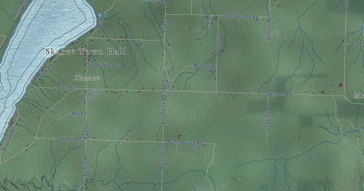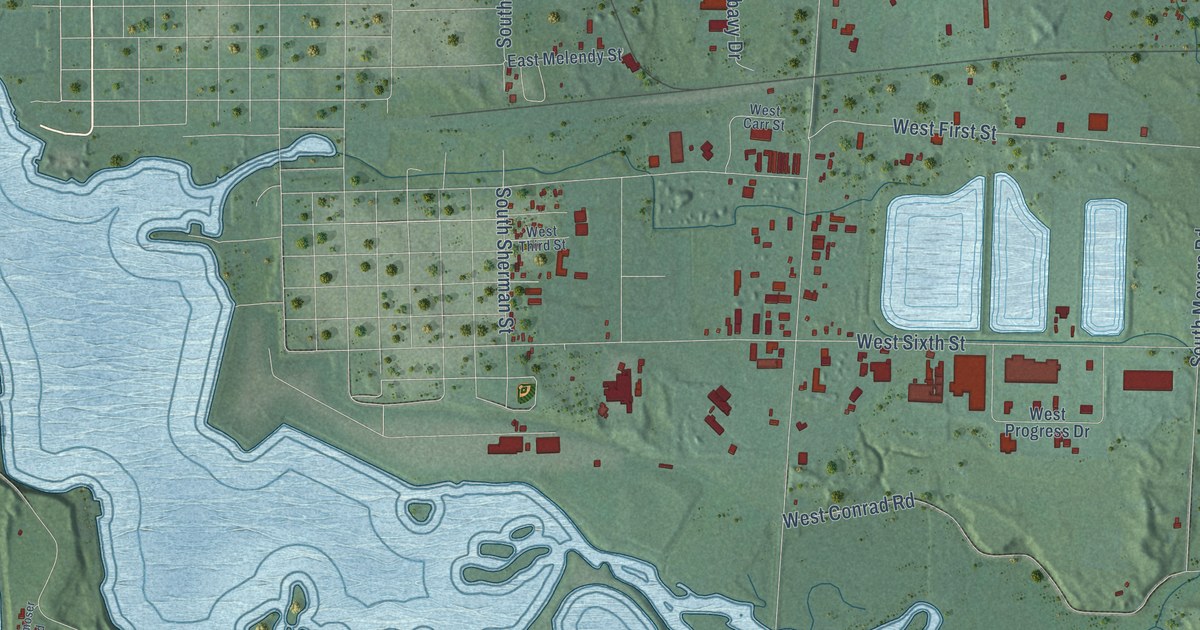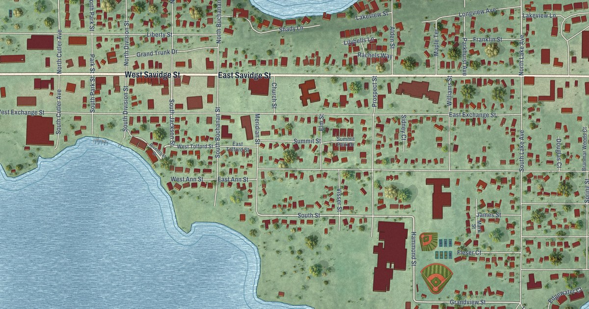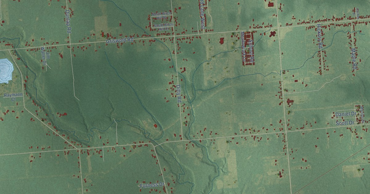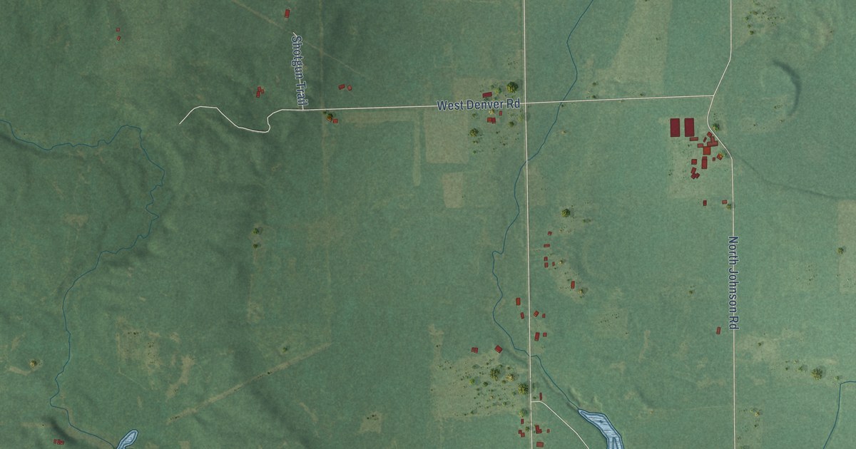
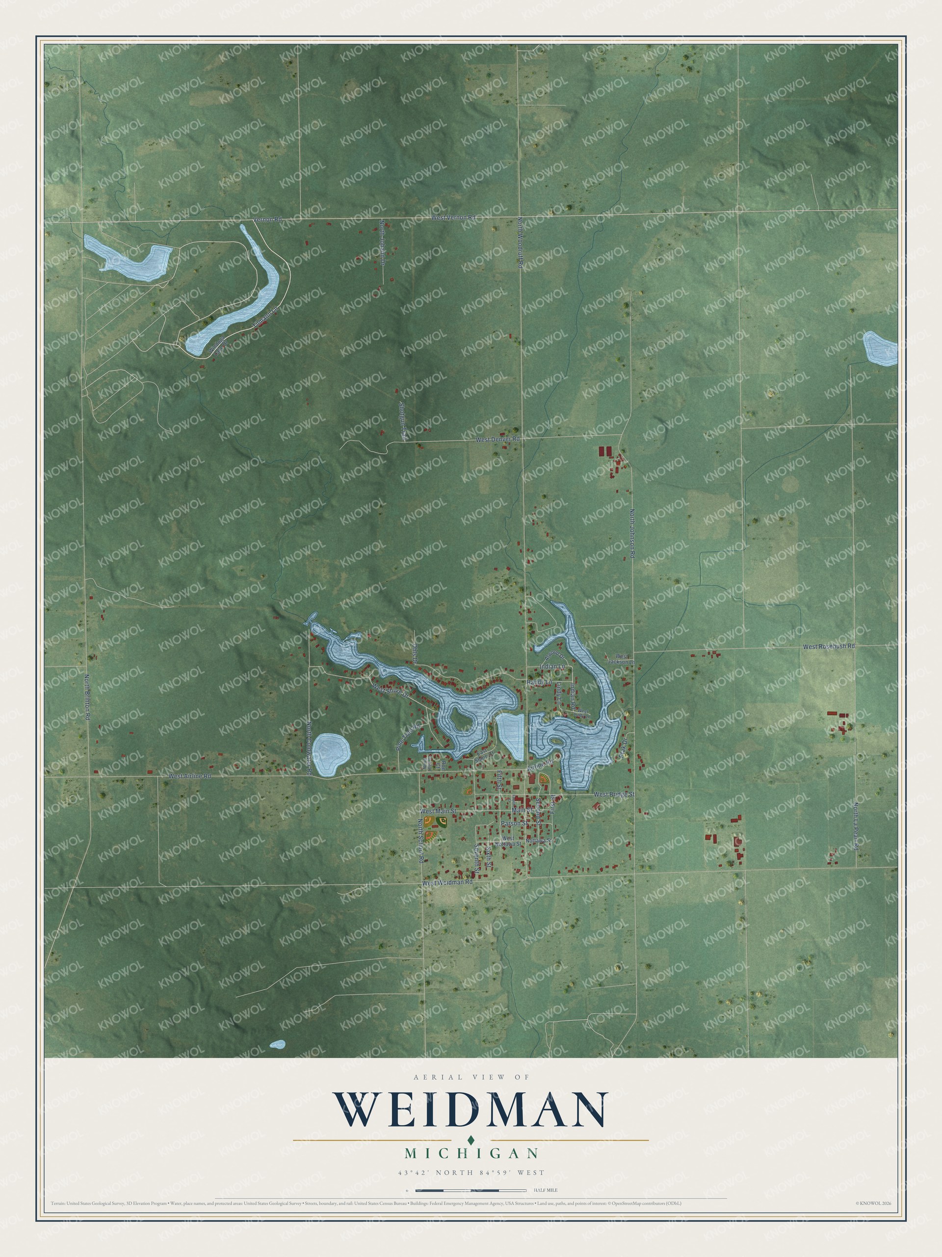
This beautifully detailed map of Weidman, Michigan was created in 2026 using aerial imagery combined with modern topographical, census, street and landmark data. It's a modern aerial view of Weidman in Isabella County, Michigan, that combines modern data with a vintage aesthetic. The roads feature printed names, and if you look closely you can find your exact house accurately shown in its correct location.
Explore an aerial view of Weidman, Michigan
On this map you'll find Tilmann Lane, West Shore Drive, Indian Road, North Woodruff Road, North Johnson Road, West Airline Road, West Weidman Road, West Denver Road, Vernon Road, West Vernon Road, North Brinton Road, North La Pearl Road, and more. Each red shape is a building, so zoom in on the preview and look for yours.
Weidman has a story worth telling. John S. Weidman learned the lumber trade as a river boy, keeping logs moving down the Muskegon River. In 1893 he set up a band saw where the Coldwater River meets Walker Creek, built a dam for a log pond and a railroad to haul out the lumber, and the homes of his mill crews soon made Weidman a village. John Rufner built the first house in Weidman in his spare time, after working twelve hour days, six days a week, at the sawmill. That's from the Weidman Messenger newspaper.
Weidman is a community in Isabella County. The Census Bureau counted 920 people here in 2020.
Take a closer look at the Weidman map
Names on this map
These names are printed on this map.
Streets and roads: Tilmann Lane, West Shore Drive, Indian Road, North Woodruff Road, North Johnson Road, West Airline Road, West Weidman Road, West Denver Road, Vernon Road, West Vernon Road, North Brinton Road, North La Pearl Road.
More street names, A to Z
Airline Road, Alwood Drive, East Shore Court, Fifth Street, First Street, Fourth Street, Indian Lane, Lindy Lane, Main Street, North Coldwater Road, North Johann Drive, North Olen Court, North School Road, Nottawa Street, Ohls Drive, Parson Street, Pine Tree Road, Ptak Drive, Randy Lane, Roe Court, Second Street, Seventh Street, Shotgun Trail, Sixth Street, West Bridge Street, West Jackson Lane, West Lindy Lane, West Main Street, West Nottawa Street, West Rosebush Road, Windoga Lake Drive.
See it on a wall
The Weidman map as a framed print. Swipe for more.


Created by KNOWOL in 2026. The buildings are small red shapes, the roads carry their printed names, and shaded relief shows the shape of the land. The title panel reads "AERIAL VIEW OF WEIDMAN, MICHIGAN" with 43°42' NORTH 84°59' WEST.
It looks right in a kitchen, an office or a den, and it's a gift for anyone who grew up in Weidman or moved away. Open the preview and find your street. See sizes and frames for the Weidman map.