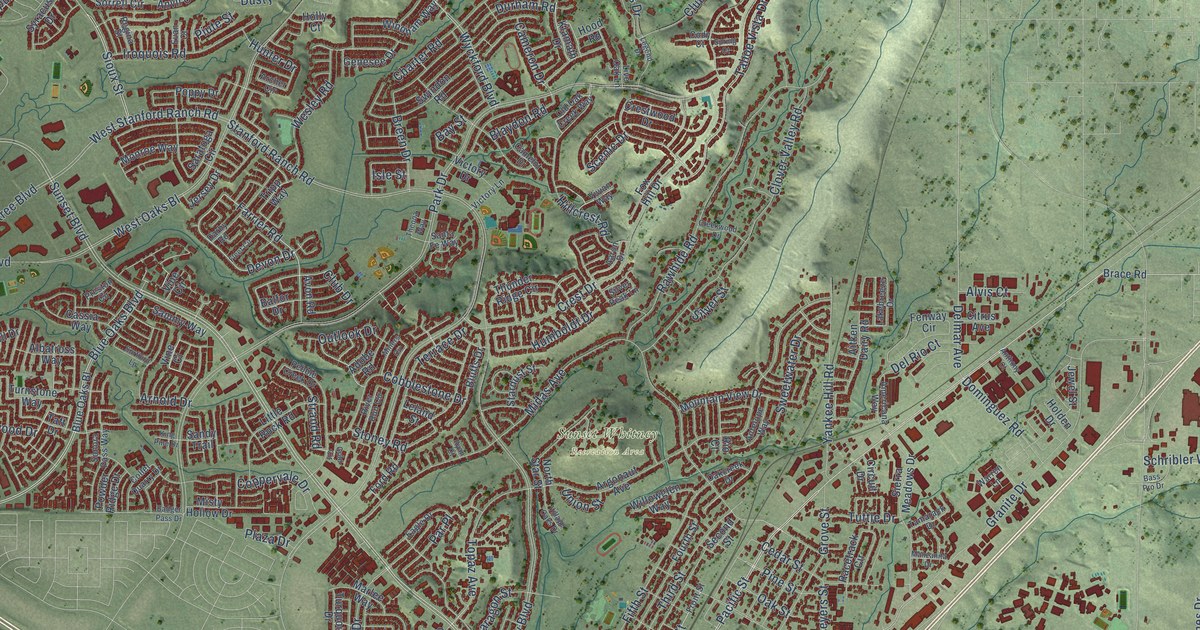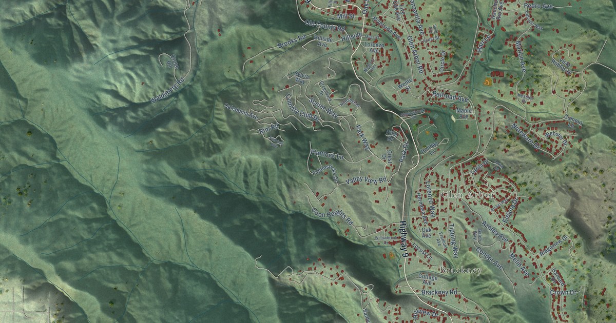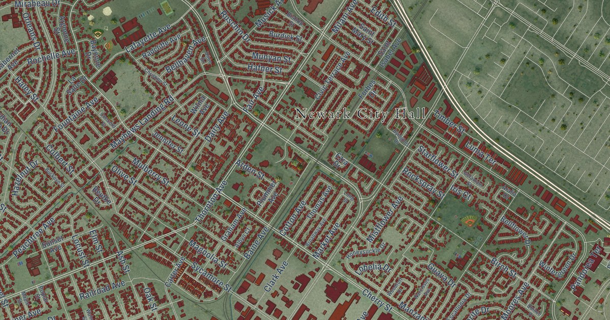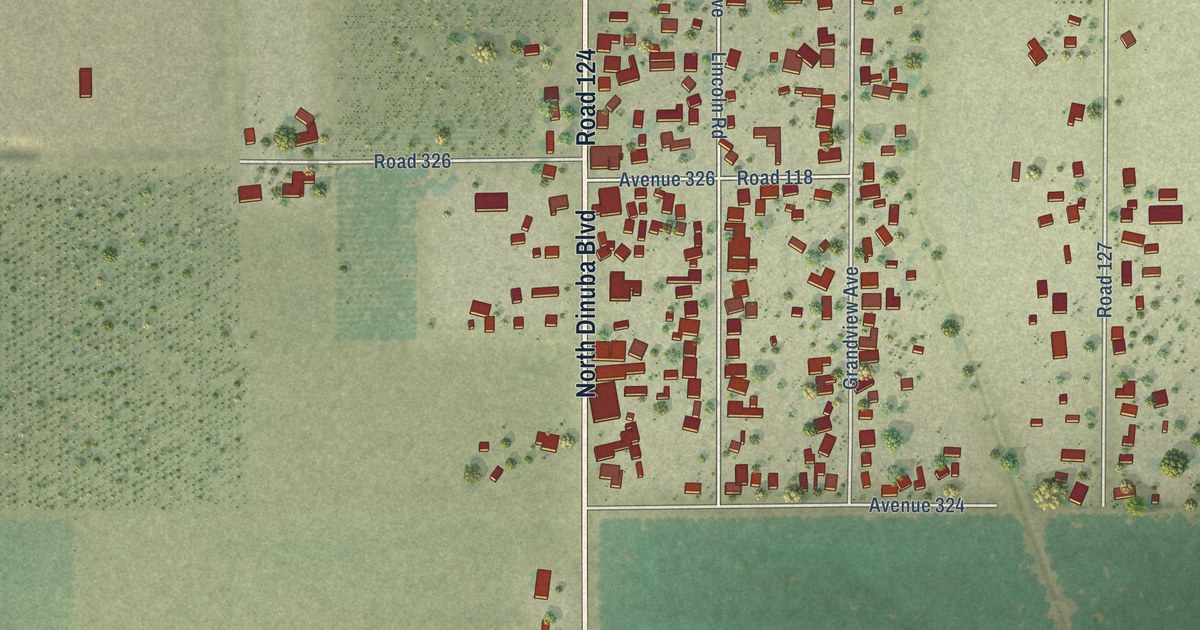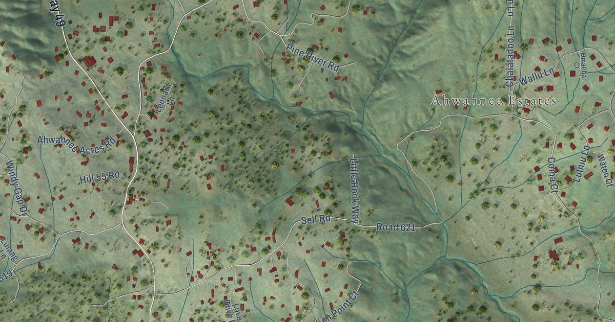
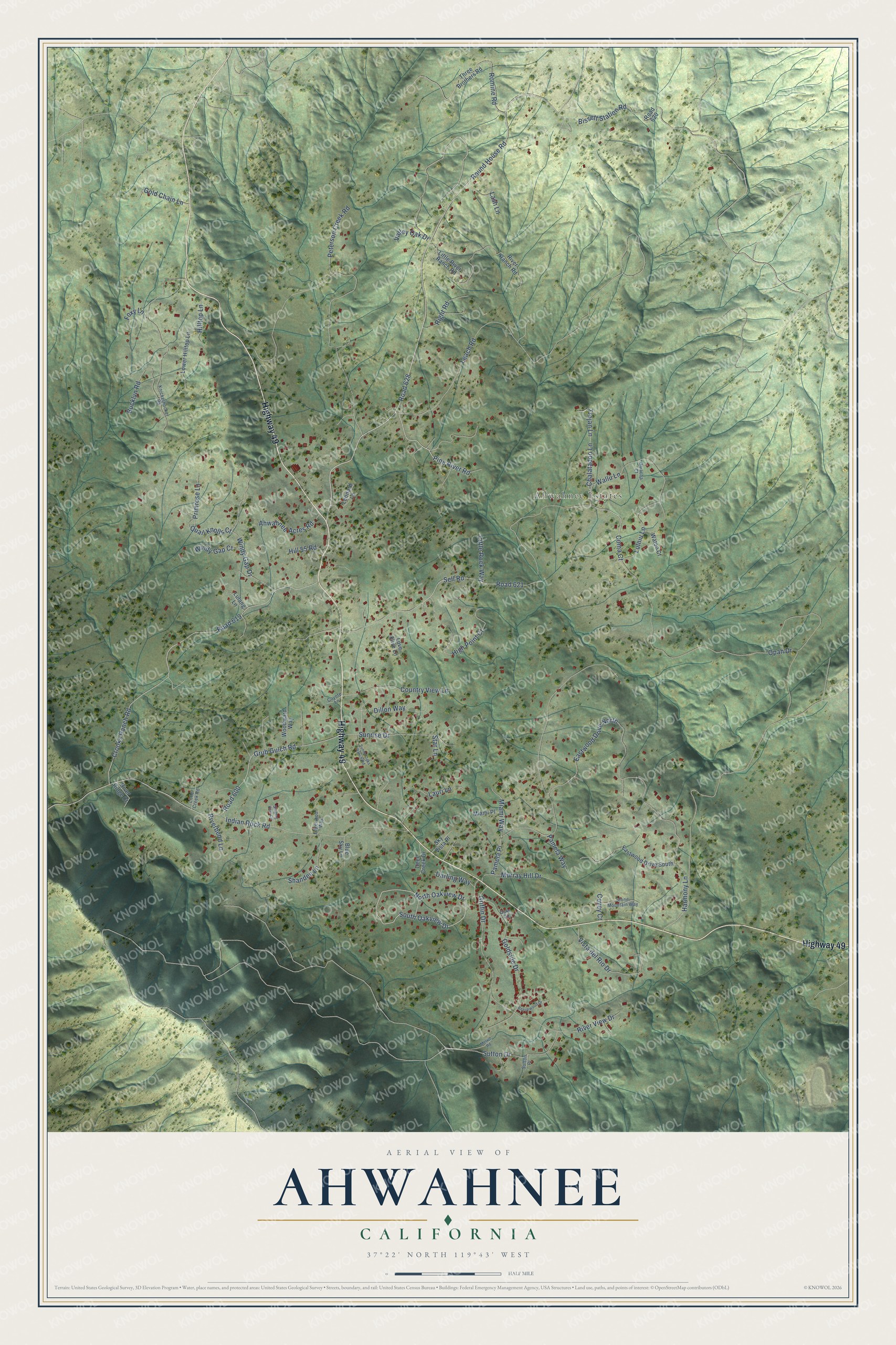
This beautifully detailed map of Ahwahnee, California was created in 2026 using aerial imagery combined with modern topographical, census, street and landmark data. It's a modern aerial view of Ahwahnee in Madera County, California, that combines modern data with a vintage aesthetic. The roads feature printed names, and if you look closely you can find your exact house accurately shown in its correct location.
Explore an aerial view of Ahwahnee, California
On this map you'll find Ahwahnee Estates, Highway 49, South Oakview Drive, North Oakview Drive, Coma Court, Round House Road, Pine River Road, Valley Oak Drive, Opah Drive, Road 628, Leach Road, Road 621, and more. Each red shape is a building, so zoom in on the preview and look for yours.
Ahwahnee has a story worth telling. The Wassama Roundhouse in Ahwahnee dates from before the 1860s and was the center of spiritual and ceremonial life for many Native Californians. Its third roundhouse, built in 1903, used parts of the center pole from the two before it, and the roundhouse was rebuilt again in 1985 on the site of the earlier four. It still serves that purpose today. That's from the California Historical Landmark plaque.
Ahwahnee is a community in Madera County. The Census Bureau counted 2,296 people here in 2020.
Take a closer look at the Ahwahnee map
Names on this map
These names are printed on this map.
Places: Ahwahnee Estates.
Streets and roads: Highway 49, South Oakview Drive, North Oakview Drive, Coma Court, Round House Road, Pine River Road, Valley Oak Drive, Opah Drive, Road 628, Leach Road, Road 621, Crooks Ranch Road.
More street names, A to Z
Ahwahnee Acres Road, Beechwood Drive, Bissett Station Road, Blue Sky Lane, Bucklyn Road, Chalatadoo Lane, Country View Lane, Covey Court, Coyote Lane, Darling Way, Deer Creek Drive, Dillon Way, Duke Circle, Eastwood Drive North, Eastwood Drive South, Edgewood Way, Foxy Lane, Gold Chain Lane, Goldside Drive, Griffin Drive, Grub Gulch Road, Harmony Lane, High Point Court, Hill 55 Road, Hilltop Lane, Indian Rock Road, Knickerbocker Road, Lash Lane, Lauri Lane, Leonard Lane, Little Creek Road, Little River Ranch Road, Little Rock Way, Love Olive Lane, Lower Hilltop Lane, Lulang Lane, Lulniu Lane, Melvin Road, Miami Place, Miami Way, Murray Hill Drive, Omacha Court, Pamela Place, Pamela Way, Peterson Creek Road, Primrose Lane, Quail Knolls Court, Right Road, Riverbend Lane, River Ranch Road, River Ridge Court, River View Drive, Road 600, Road 619, Road 620, Romine Road, Sell Road, Shandee Lane, Singing Hills Circle, Sky Vista Place, Star Lane, Stone Mountain Way, Sunny Oaks Ranch Road, Sunrise Drive, Sutton Drive, Sutton Place, Three Brothers Road, Trojan Lane, Vista del Rio Drive, Wallu Lane, Watoo Court, Windy Gap Court, Windy Gap Drive, Woodward Way.
See it on a wall
The Ahwahnee map as a framed print. Swipe for more.


Created by KNOWOL in 2026. The buildings are small red shapes, the roads carry their printed names, and shaded relief shows the shape of the land. The title panel reads "AERIAL VIEW OF AHWAHNEE, CALIFORNIA" with 37°22' NORTH 119°43' WEST.
It looks right in a kitchen, an office or a den, and it's a gift for anyone who grew up in Ahwahnee or moved away. Open the preview and find your street. See sizes and frames for the Ahwahnee map.