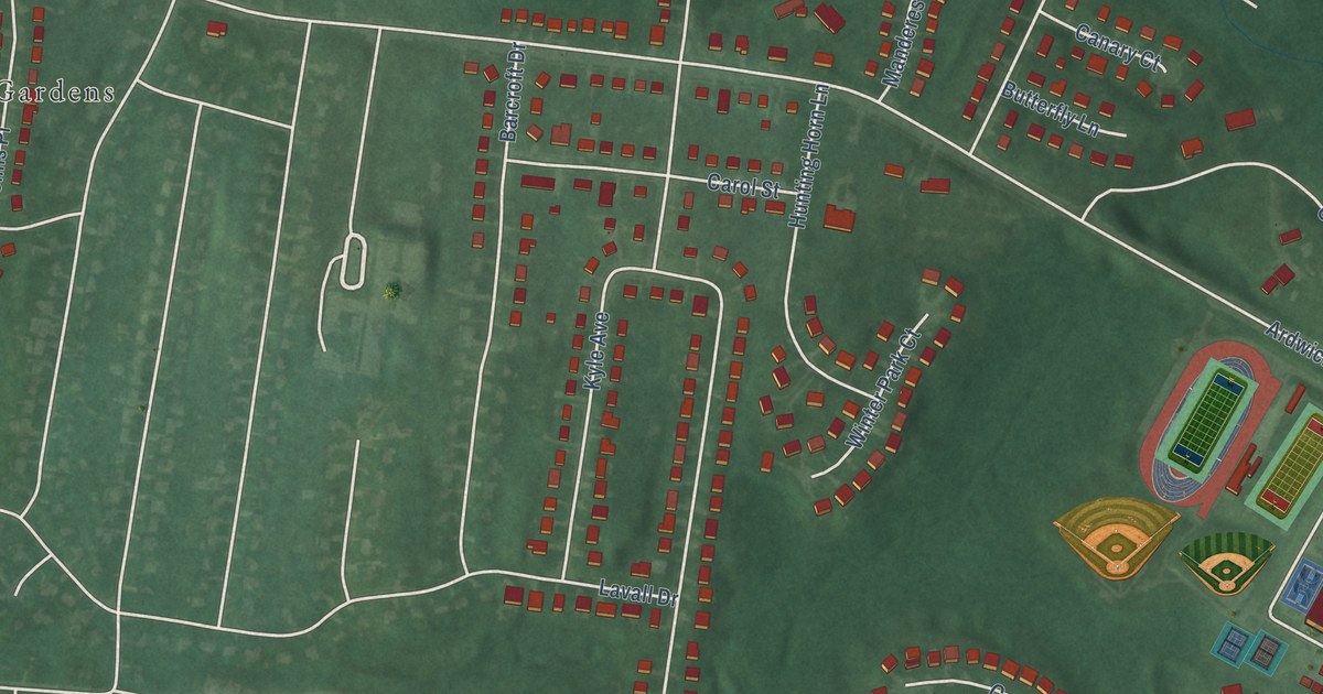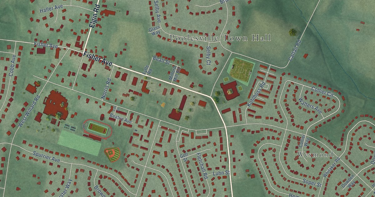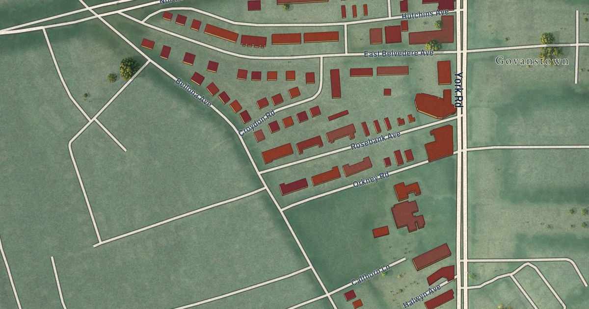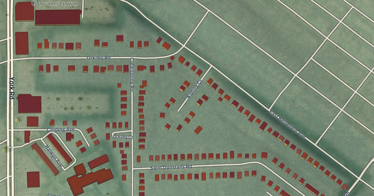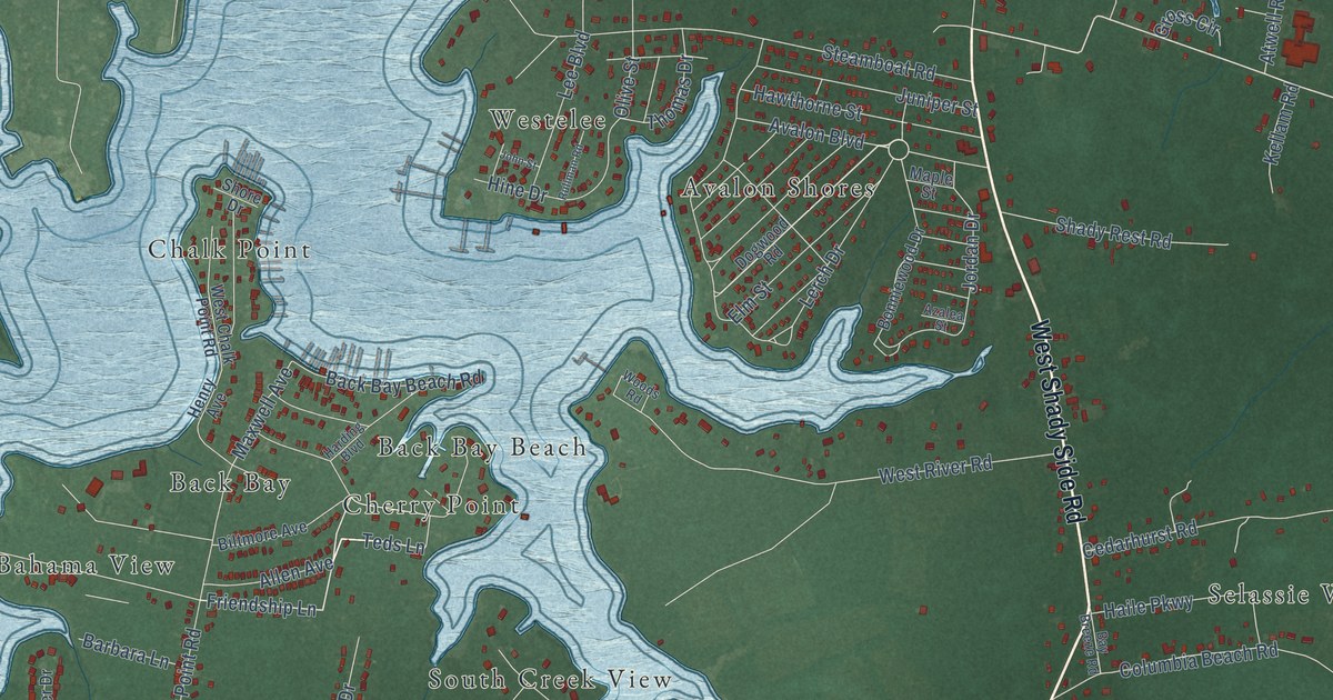
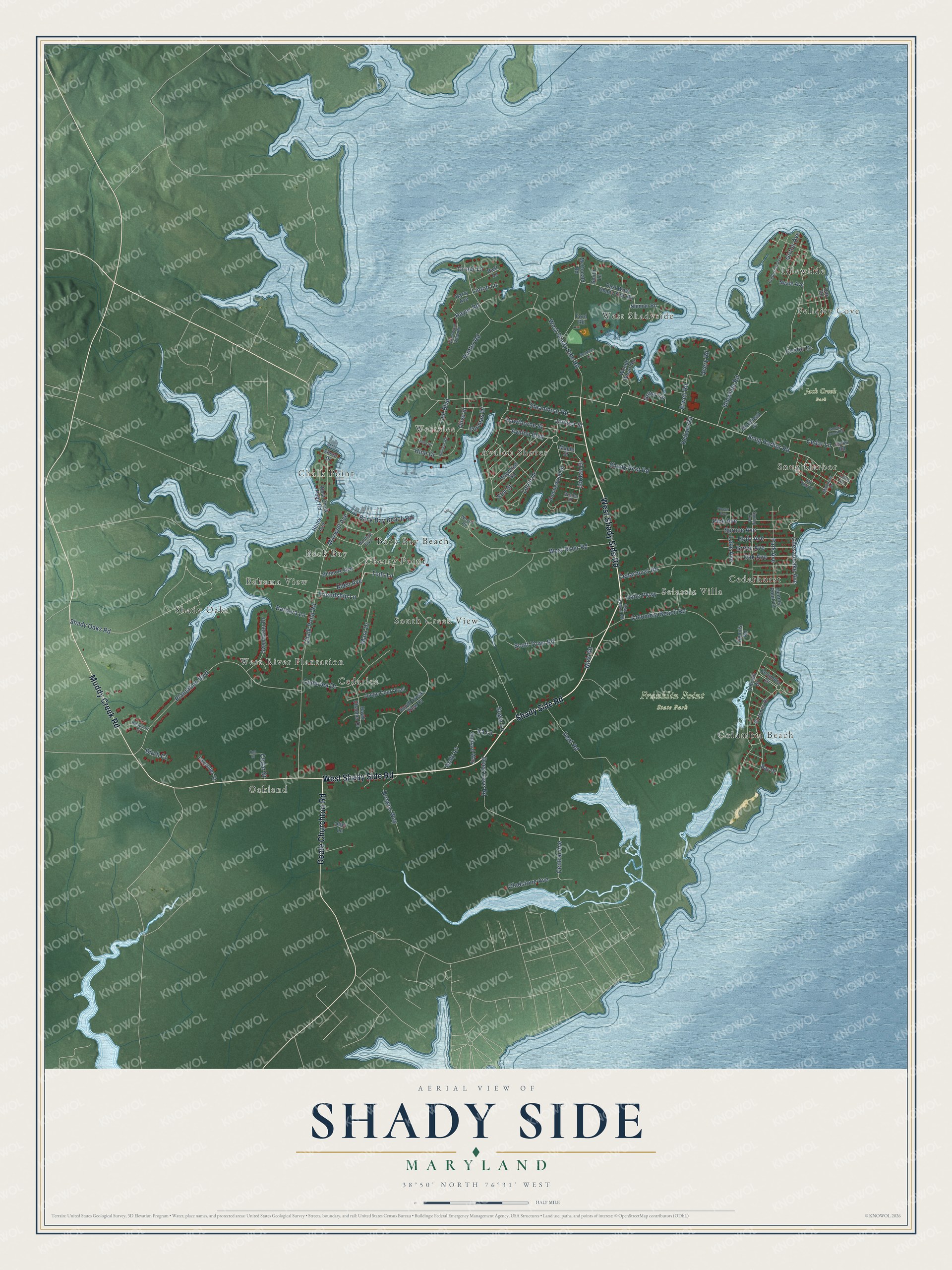
This beautifully detailed map of Shady Side, Maryland was created in 2026 using aerial imagery combined with modern topographical, census, street and landmark data. It's a modern aerial view of Shady Side in Anne Arundel County, Maryland, that combines modern data with a vintage aesthetic. The roads feature printed names, and if you look closely you can find your exact house accurately shown in its correct location.
Explore an aerial view of Shady Side, Maryland
On this map you'll find Franklin Point State Park, Jack Creek Park, Oakland, Bahama View, Westelee, Cedarhurst, Chalk Point, Idlewilde, West River Plantation, West Shadyside, South Creek View, Selassie Villa, and more. Each red shape is a building, so zoom in on the preview and look for yours.
Here is a piece of Shady Side history. The community was officially named Shady Side in 1888. Visitors came by steamboat to swim, boat and crab, and so many residents took in summer boarders that by the early 1900s the peninsula had eight boarding houses. Before the resort years, fishing and oystering had made Shady Side a watermen's village. That's from the Maryland Historical Trust.
Shady Side is a community in Anne Arundel County. The Census Bureau counted 5,806 people here in 2020.
Take a closer look at the Shady Side map
Names on this map
These names are printed on this map.
Places: Franklin Point State Park, Jack Creek Park, Oakland, Bahama View, Westelee, Cedarhurst, Chalk Point, Idlewilde, West River Plantation, West Shadyside, South Creek View, Selassie Villa, Avalon Shores, Snug Harbor, Cedarlea, Back Bay, Columbia Beach, Cherry Point, Shady Oaks, Felicity Cove and Back Bay Beach.
Streets and roads: Shady Side Road, West Shady Side Road, Muddy Creek Road, Deale Churchton Road, Friendship Lane, Teds Lane, Chesapeake Avenue, Snug Harbor Road, Scott Town Road, Maxwell Avenue, Columbia Beach Road, Chalk Point Road.
More street names, A to Z
Al Jones Drive, Allen Avenue, Atwell Road, Avalon Boulevard, Avery Road, Azalea Street, Back Bay Beach Road, Barbara Lane, Barry Avenue, Bast Lane, Bay Breeze Road, Bay Drive, Bay View Drive, Beauvoir Court, Biltmore Avenue, Birch Court, Boarman Lane, Bonniewood Drive, Browns Way, Cedar Avenue, Cedarhurst Road, Cedar Lane, Cedarlea Drive, Cedar Street, Central Avenue, Columbia Drive, Coster Drive, Deep Cove Road, Dennis Point Lane, Dennis Road, Dent Road, Dogwood Road, East West Shady Side Road, Elm Street, Ford Road, Frederick Avenue, Girton Avenue, Gladstone Avenue, Goose Creek Road, Griner Lane, Gross Circle, Grove Avenue, Haile Parkway, Harding Boulevard, Hawk Channel Drive, Hawthorne Street, Hayes Road, Henry Avenue, Hine Drive, Holly Avenue, Holly Lane, Hunter Road, Idlewilde Road, Ira Lane, Jacks Road, John Street, Jordan Drive, Judge Court East, Juniper Street, Kellam Road, Lake Avenue, Lavender Court, Lee Boulevard, Lerch Drive, Lincoln Drive, Linton Lane, Maple Street, Mariners Drive, Marx Drive, McDonald Road, Morehead Drive, Neale Avenue, Nick Road, Nieman Road, Oak Avenue, Oak Road, Oak Street, Offer Lane, Olive Street, Orchard Way, Park Avenue, Pine Avenue, Plantation Boulevard, Poplar Avenue, Rullman Road, Shady Oaks Road, Shady Rest Road, Shore Drive, Smith Lane, South Creek View Court, Spring Avenue, Spruce Avenue, Steamboat Road, Sugar Lane, Sweetwater Drive, Thomas Drive, West Chalk Point Road, West River Road, Westward View Road, Woods Road, Woods Wharf Road.
See it on a wall
The Shady Side map as a framed print. Swipe for more.


Created by KNOWOL in 2026. The buildings are small red shapes, the roads carry their printed names, and shaded relief shows the shape of the land. The title panel reads "AERIAL VIEW OF SHADY SIDE, MARYLAND" with 38°50' NORTH 76°31' WEST.
It suits a den, a classroom or a front hall, and it makes a gift for anyone with Shady Side roots. Open the preview and find the block you know. See sizes and frames for the Shady Side map.