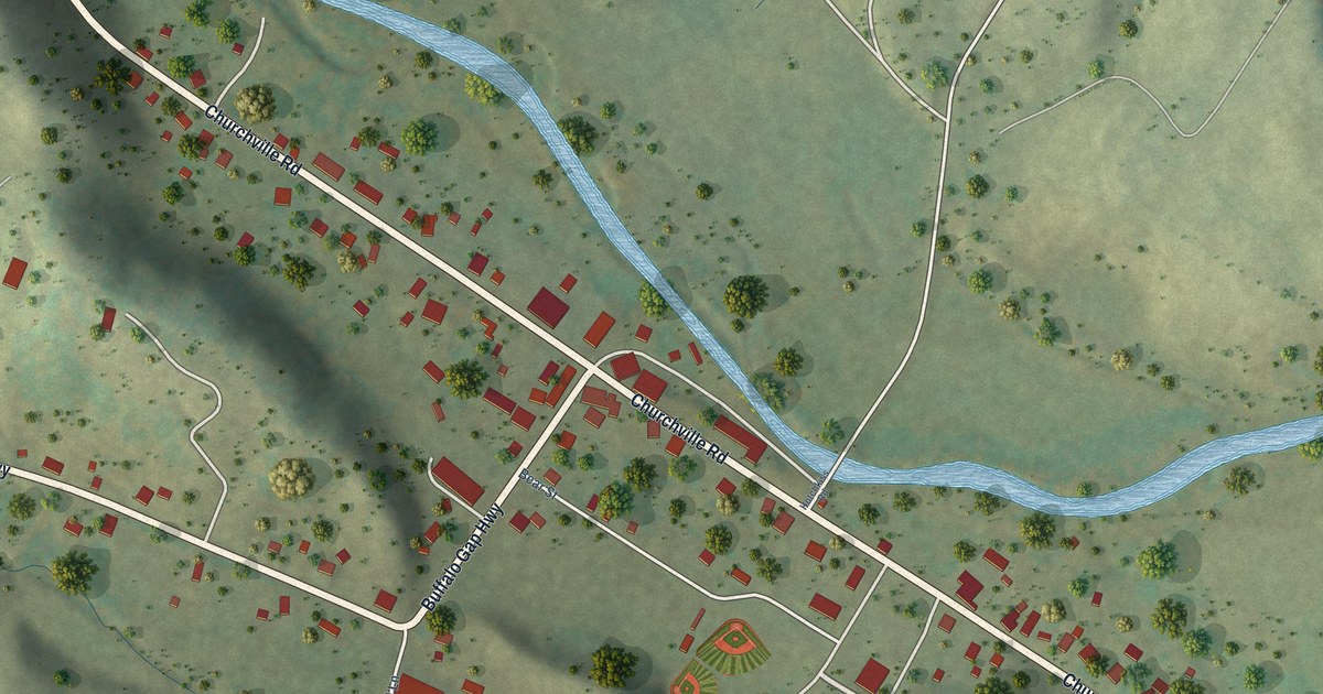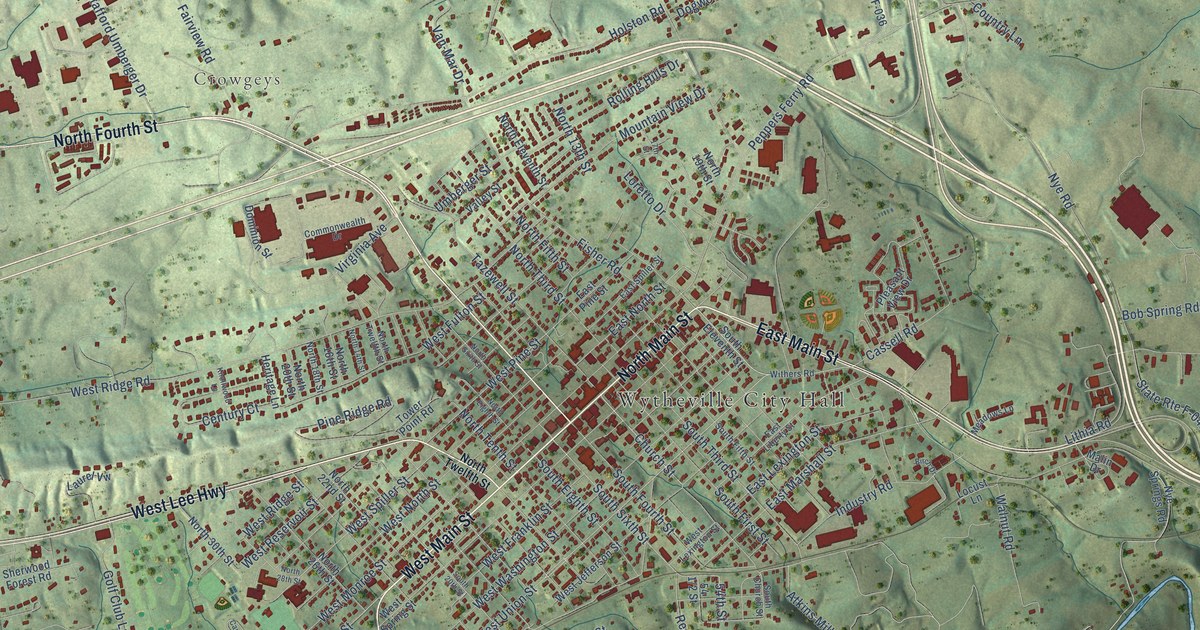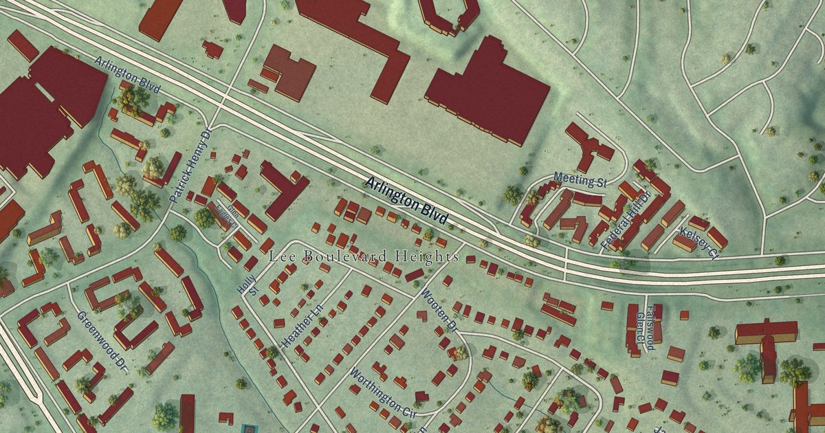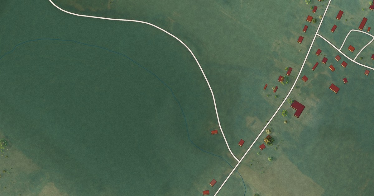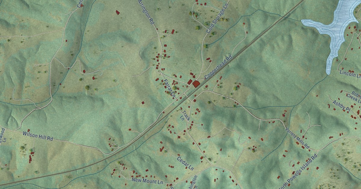
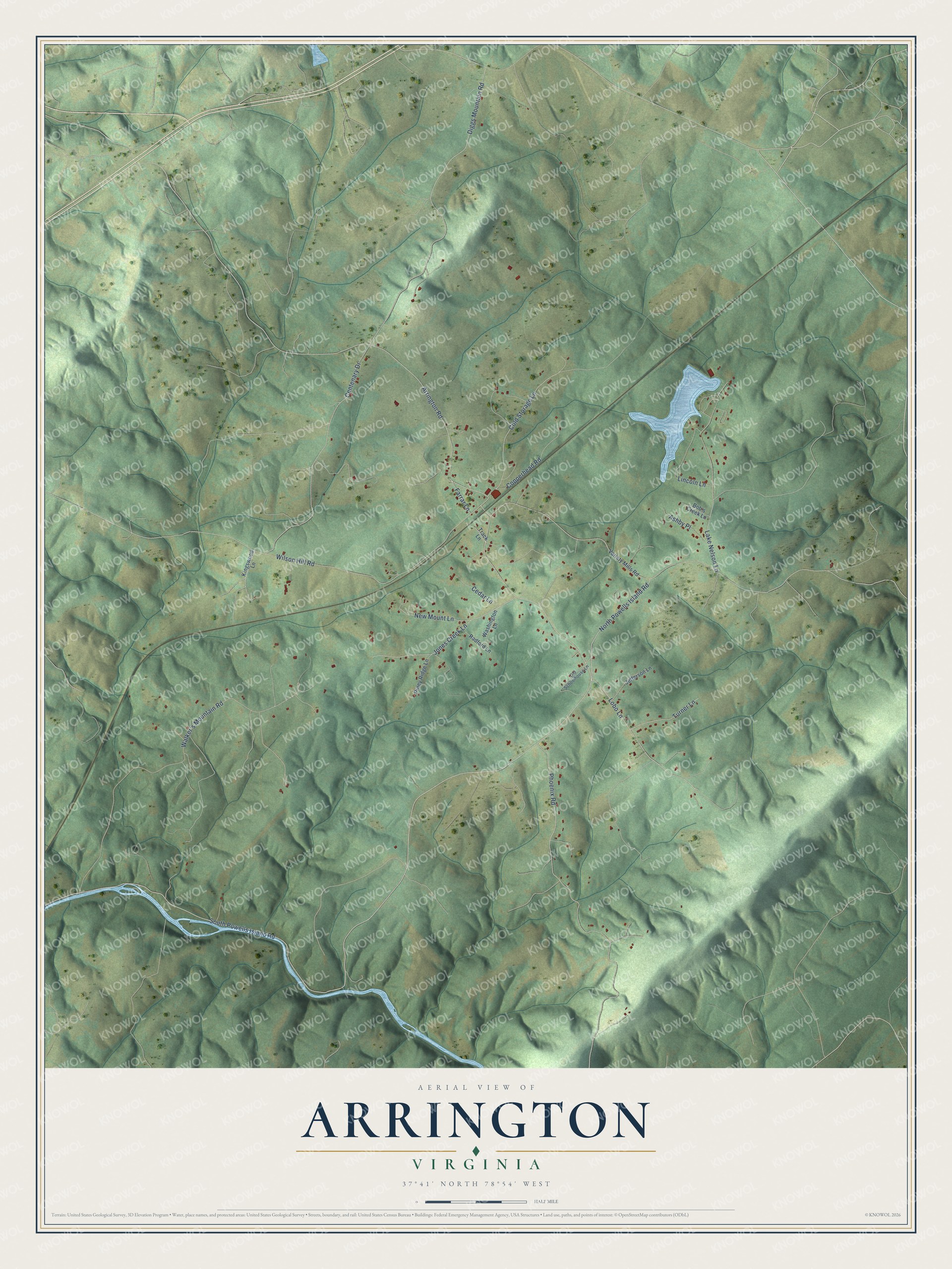
This beautifully detailed map of Arrington, Virginia was created in 2026 using aerial imagery combined with modern topographical, census, street and landmark data. It's a modern aerial view of Arrington in Nelson County, Virginia, that combines modern data with a vintage aesthetic. The roads feature printed names, and if you look closely you can find your exact house accurately shown in its correct location.
Explore an aerial view of Arrington, Virginia
On this map you'll find North Powells Island Road, South Powells Island Road, Arrington Road, Lobo Lane, Diggs Mountain Road, Lake Nelson Lane, Phoenix Road, Wilson Hill Road, Walker's Mountain Road, Centenary Drive, Cold Storage Lane, New Mount Lane, and more. Each red shape is a building, so zoom in on the preview and look for yours.
Here is a piece of Arrington history. Soapstone from the Phoenix Soapstone Company went by wagon over Turner Mountain to the Arrington depot of the Southern Railway, and the other quarries nearby all shipped from Arrington depot too. To spare the horses the 280 foot climb to the gap, the company built a narrow gauge railroad to the depot. In 1925 Standard Soapstone, which had bought the Phoenix company, added standard gauge rails to the track leading to the Arrington depot. That's from the Virginia Places website.
Arrington is a community in Nelson County. The Census Bureau counted 718 people here in 2020.
Take a closer look at the Arrington map
Names on this map
These names are printed on this map.
Streets and roads: North Powells Island Road, South Powells Island Road, Arrington Road, Lobo Lane, Diggs Mountain Road, Lake Nelson Lane, Phoenix Road, Wilson Hill Road, Walker's Mountain Road, Centenary Drive, Cold Storage Lane, New Mount Lane.
More street names, A to Z
Ashby Place, Bob's Creek Lane, Cedar Lane, Copperhead Road, Farrar Lane, Jefferson Lane, Jones Creek Lane, Kingswood Lane, Lincoln Lane, Old Schoolhouse Lane, Piney Ridge Lane, Radford Lane, Track Lane, Turner Lane, Variety Mills Road, Washington Lane.
See it on a wall
The Arrington map as a framed print. Swipe for more.


Created by KNOWOL in 2026. The buildings are small red shapes, the roads carry their printed names, and shaded relief shows the shape of the land. The title panel reads "AERIAL VIEW OF ARRINGTON, VIRGINIA" with 37°41' NORTH 78°54' WEST.
It suits a den, a classroom or a front hall, and it makes a gift for anyone with Arrington roots. Open the preview and find the block you know. See sizes and frames for the Arrington map.