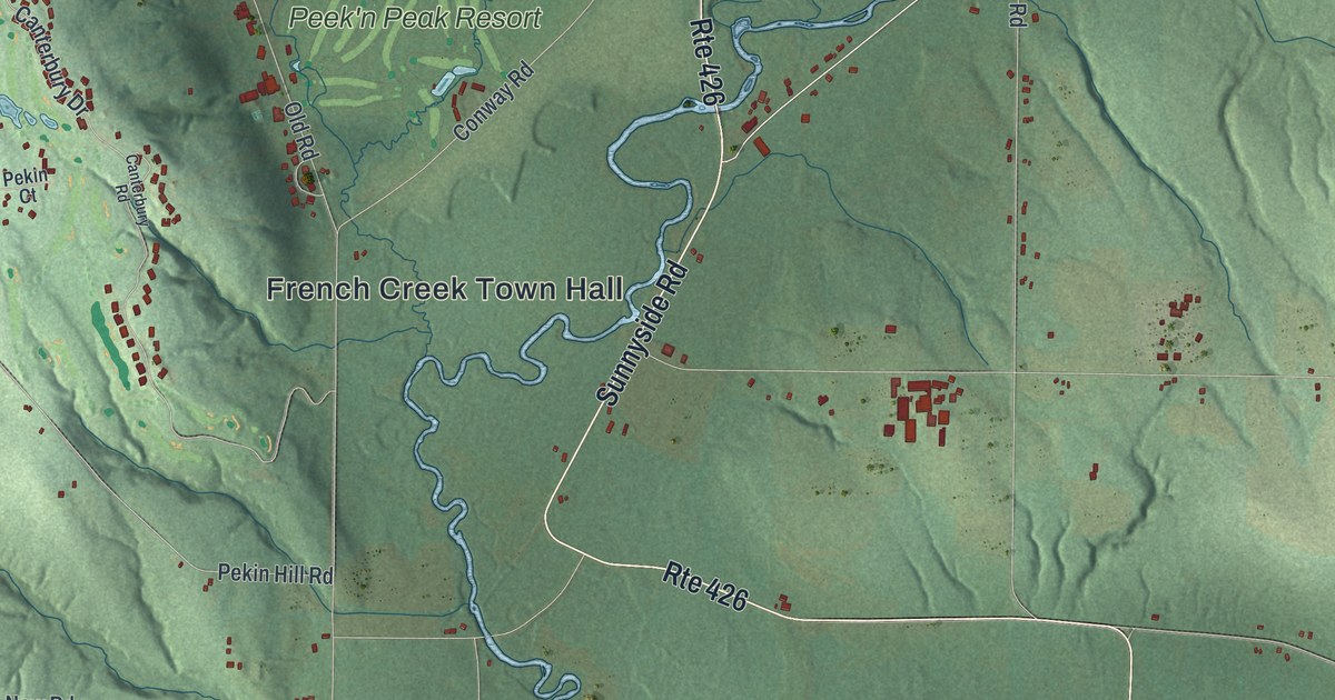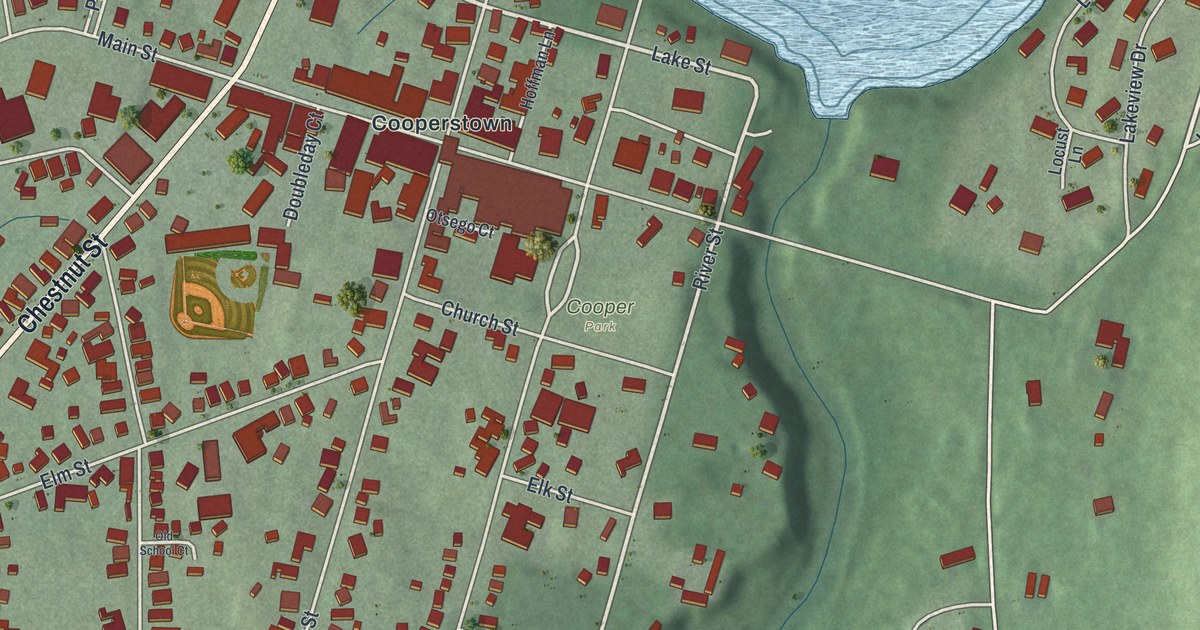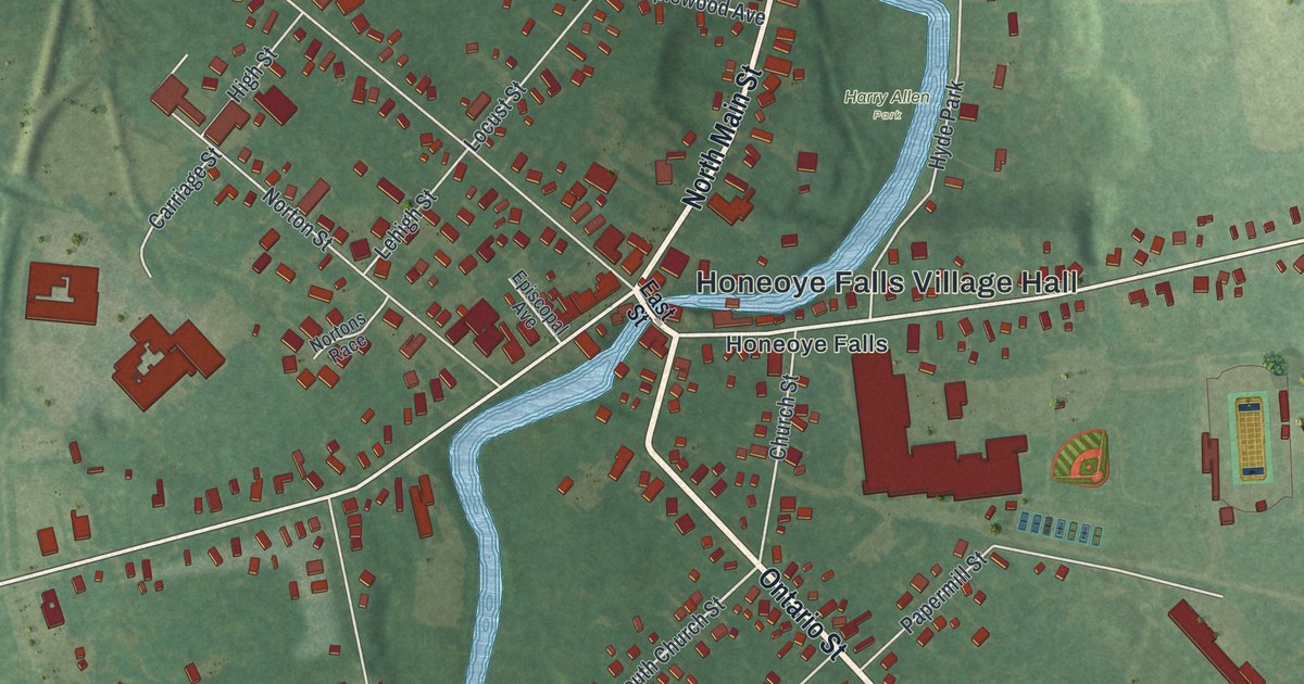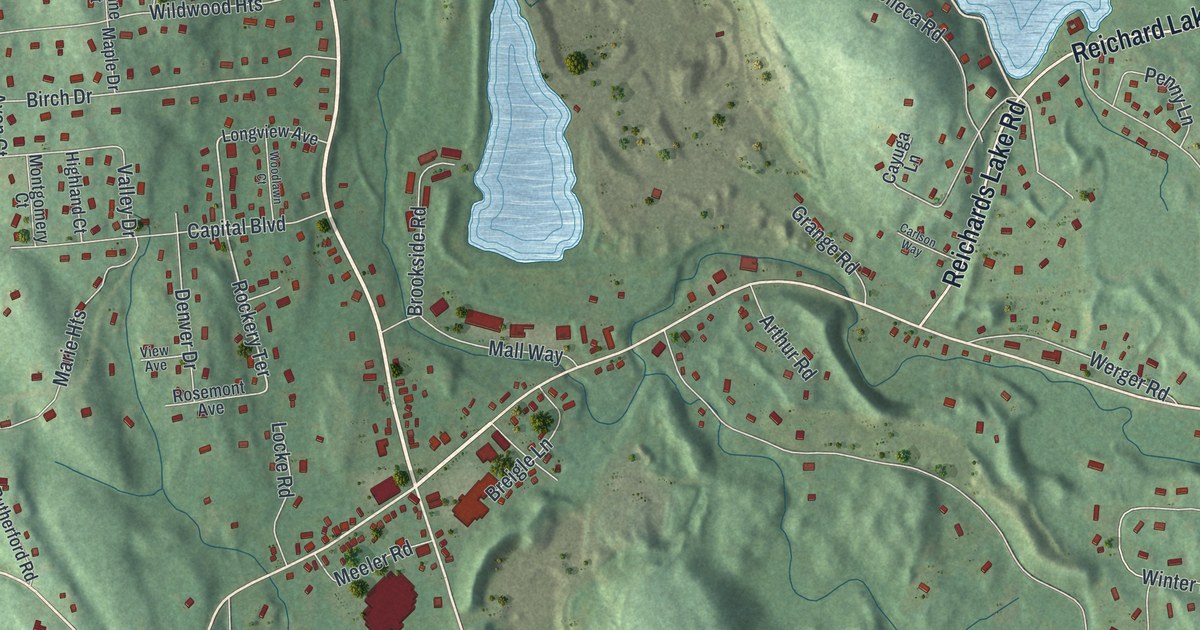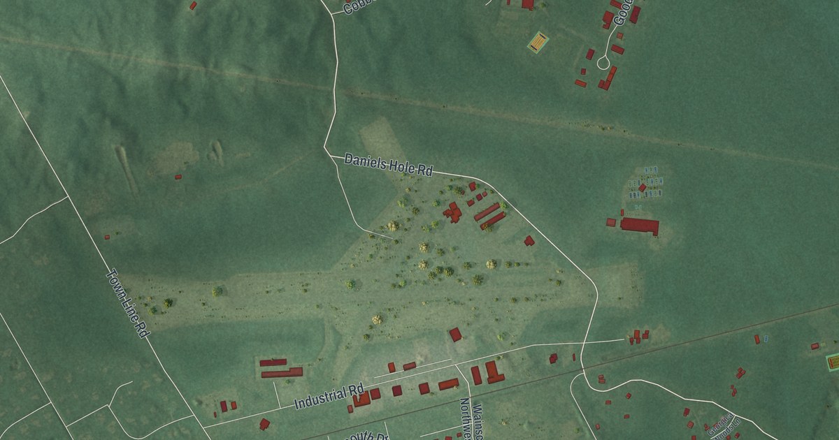
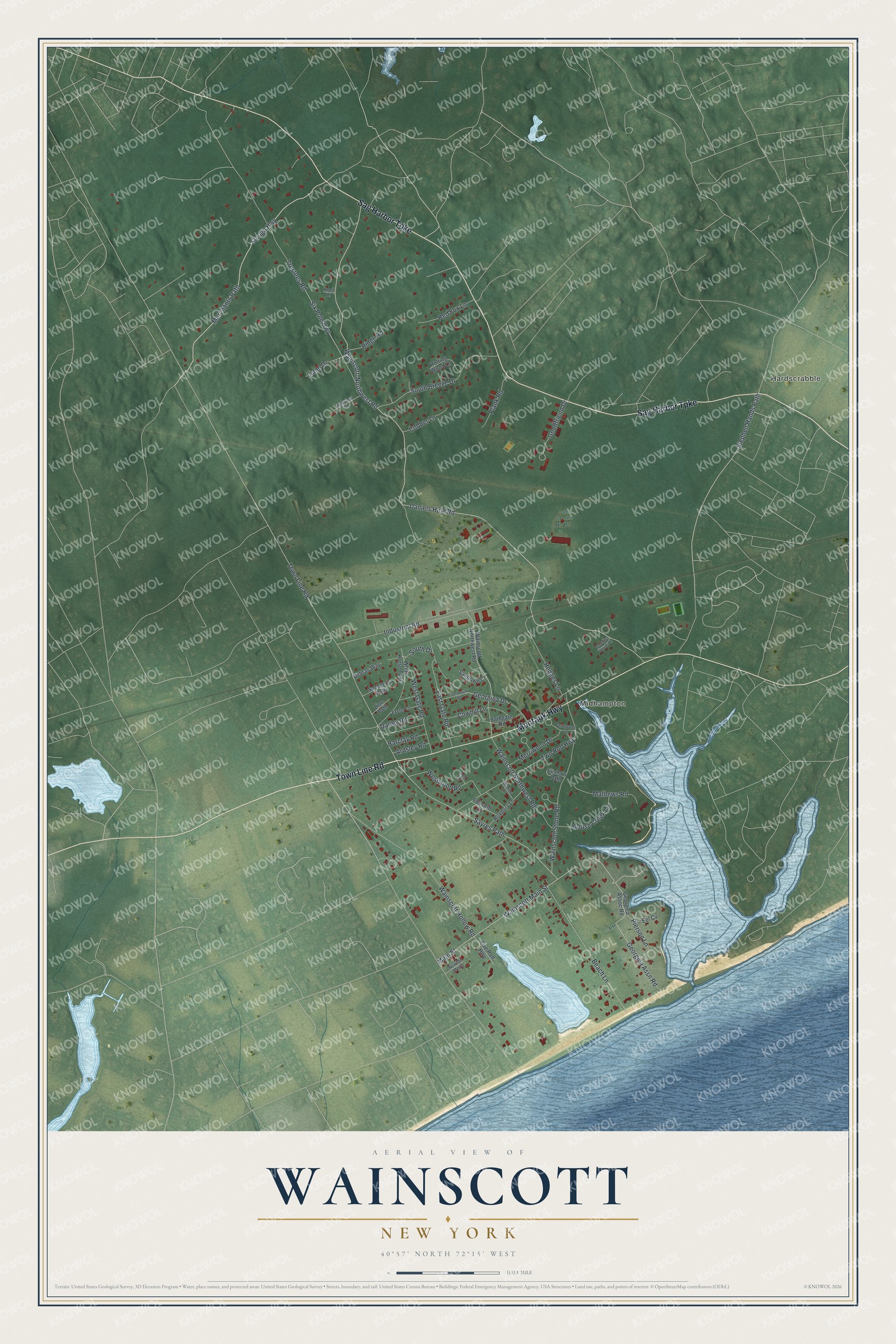
This beautifully detailed map of Wainscott, New York was created in 2026 using aerial imagery combined with modern topographical, census, street and landmark data. It's a modern aerial view of Wainscott in Suffolk County, New York, that combines modern data with a vintage aesthetic. The roads feature printed names, and if you look closely you can find your exact house accurately shown in its correct location.
Explore an aerial view of Wainscott, New York
On this map you'll find Hardscrabble, Midhampton, Town Line Road, Sag Harbor Turnpike, Montauk Highway, Daniels Hole Road, Wainscott-Northwest Road, Merchants Path, Slough Highway, Industrial Road, Sayres Path, Six Pole Highway, and more. Each red shape is a building, so zoom in on the preview and look for yours.
Every town has a first chapter, and Wainscott is no exception. Wainscott's first schoolhouse seems to have been built about 1730, and it was school, church and town hall in one, with the village seine net stored in its loft. It burned one night around 1826 or 1827, and today's Wainscott School stands very near the site of that first one. Judge Henry Hedges, who grew up across the road from the school, remembered that three generations of Wainscott children learned their letters there. That's from the Wainscott School.
Wainscott is a community in Suffolk County. The Census Bureau counted 904 people here in 2020.
Take a closer look at the Wainscott map
Names on this map
These names are printed on this map.
Places: Hardscrabble and Midhampton.
Streets and roads: Town Line Road, Sag Harbor Turnpike, Montauk Highway, Daniels Hole Road, Wainscott-Northwest Road, Merchants Path, Slough Highway, Industrial Road, Sayres Path, Six Pole Highway, Stephen Hands Path, Georgica Assn Road.
More street names, A to Z
Ardsley Road, Barclay Road, Bathgate Road, Beach Lane, Cobber Lane, Cowhill Lane, Darley Road, Debras Way, East Gate Road, Eel Cv, Elisha's Path, Esterbrook Road, Exeter Lane, Fernwood Drive, Five Rod Highway, Foxcroft Lane, Georgica Assoc Road, Georgica Drive, Georgica Woods Lane, Goodfriend Drive, Goose Creek Lane, Hedges Lane, Highview Drive, Knoll Lane, Lee Lane, Liano Drive, Line Path, Main Street, Mathews Road, Merriwood Drive, Newton Mews, Pierson Lane, Plank Road, Red Fox Lane, Ridge Road, Rolling Wood Lane, Roxbury Lane, Sachem's Path, Sandown Court, South Breeze Drive, South Drive, Trustees Road, Two Rod Highway, Wainscott Hollow Road, Wainscott Main Street, Wainscott Northwest Road, Wainscott Stone Road, West Gate Road, Westwood Road, White Horse Turnpike, Windsor Lane.
See it on a wall
The Wainscott map as a framed print. Swipe for more.


Created by KNOWOL in 2026. The buildings are small red shapes, the roads carry their printed names, and shaded relief shows the shape of the land. The title panel reads "AERIAL VIEW OF WAINSCOTT, NEW YORK" with 40°57' NORTH 72°15' WEST.
Hang it in the hallway, the office or the cabin, or give it to someone who left Wainscott and still calls it home. Open the preview and look for a street you know. See sizes and frames for the Wainscott map.