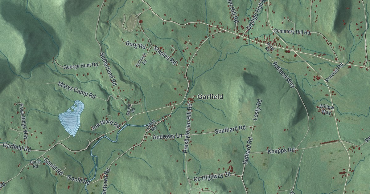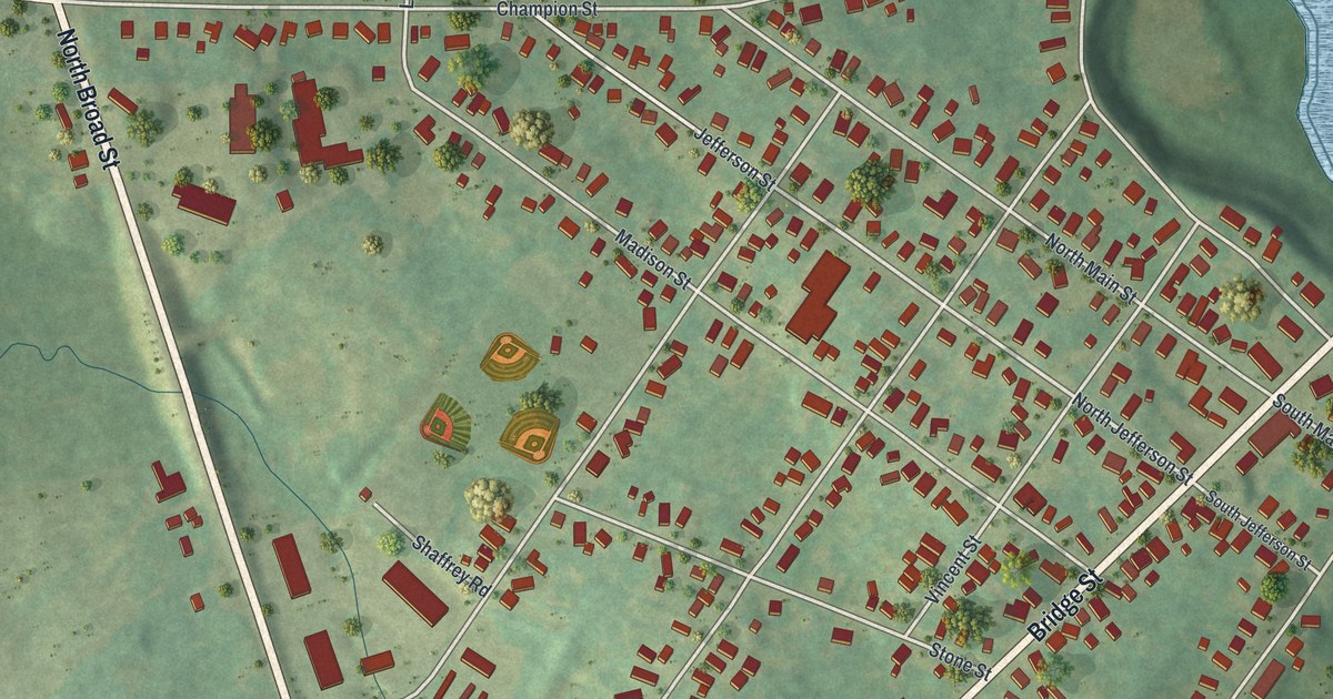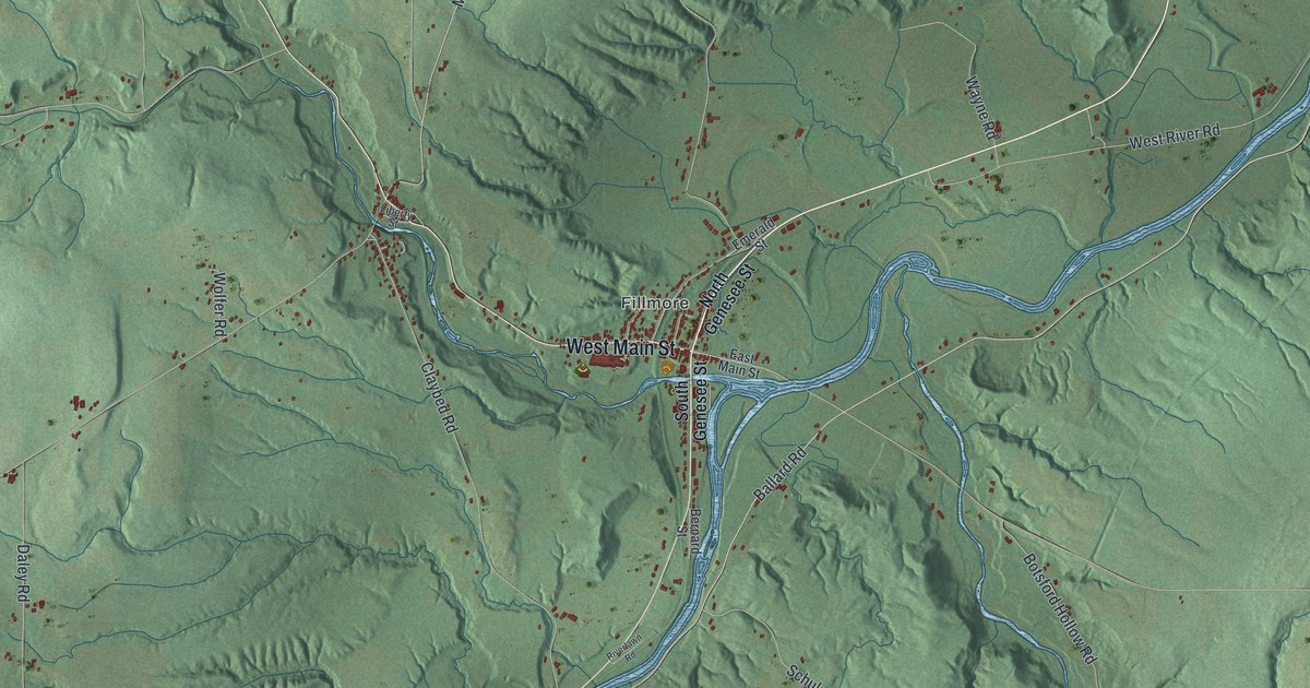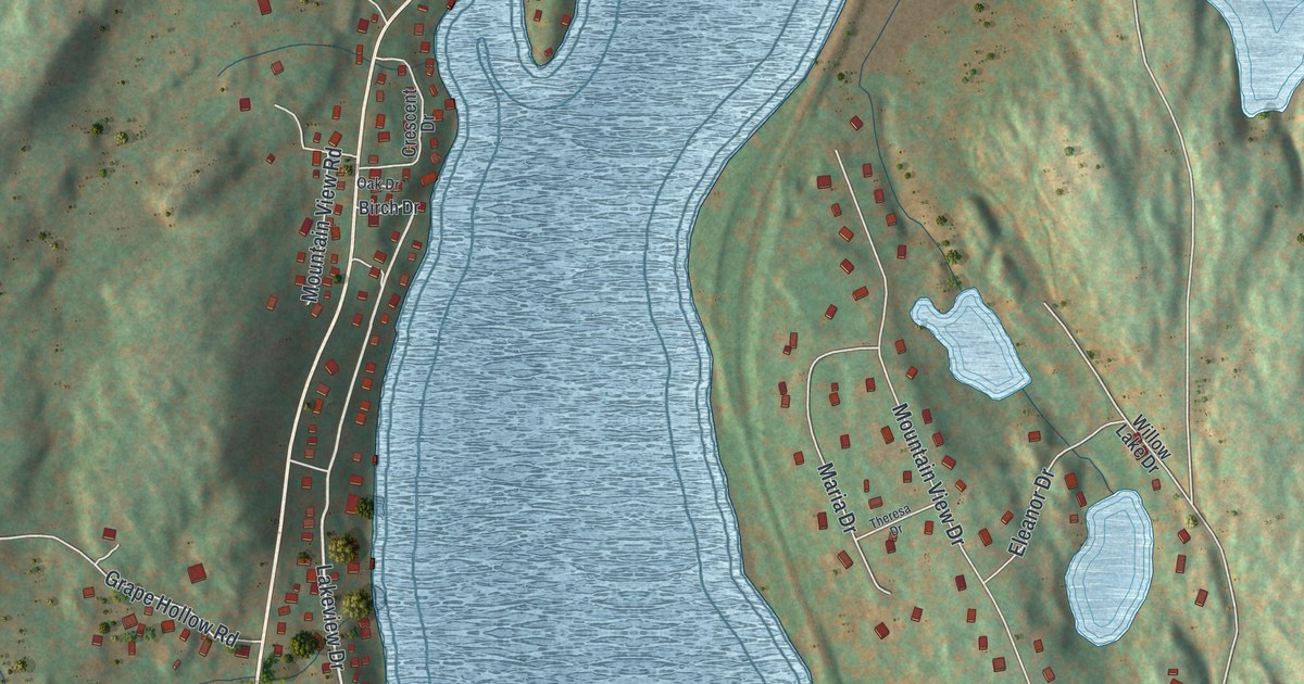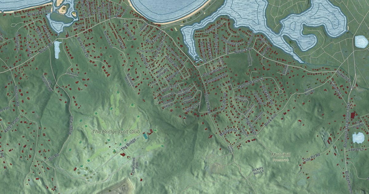
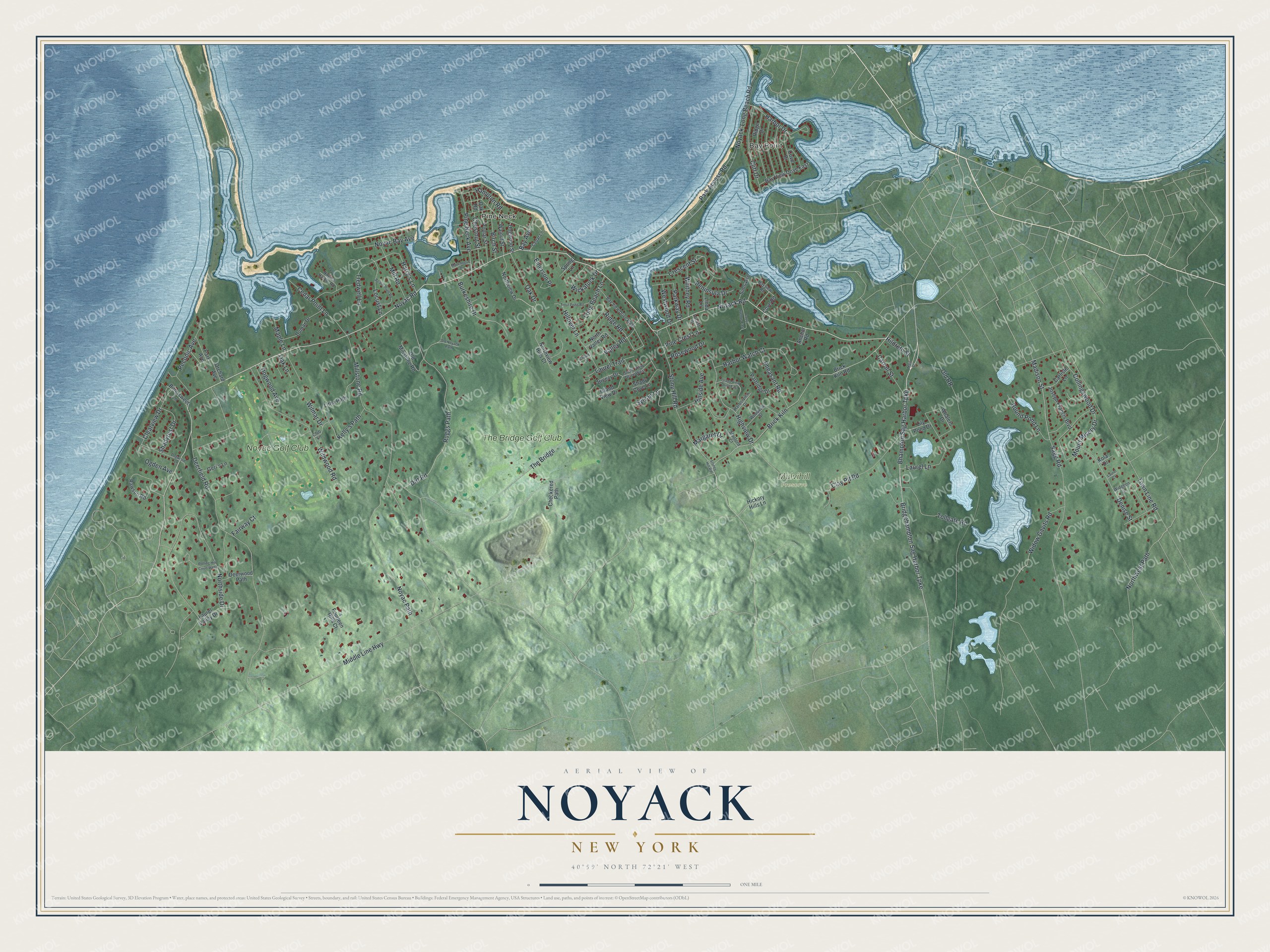
This beautifully detailed map of Noyack, New York was created in 2026 using aerial imagery combined with modern topographical, census, street and landmark data. It's a modern aerial view of Noyack in Suffolk County, New York, that combines modern data with a vintage aesthetic. The roads feature printed names, and if you look closely you can find your exact house accurately shown in its correct location.
Explore an aerial view of Noyack, New York
On this map you'll find Bay Point, Pine Neck, Mulvihill Preserve, Noyac Golf Club, The Bridge Golf Club, Hildreth Street, Bhampton Sag Harbor Turnpike, Noyack Road, Noyac Road, Hampton Road, Ruggs Path, Locust Lane, and more. Each red shape is a building, so zoom in on the preview and look for yours.
Noyack has a story worth telling. Noyack took its name from a point of land about four miles west of Sag Harbor that reaches some two miles into Peconic Bay. In the Indian language, Noyack meant a point of land. The town granted the point and some land beside it to John Jessup in 1679, and his son Isaac settled there as early as 1712. That's from the History of Suffolk County.
Noyack is a community in Suffolk County. The Census Bureau counted 4,325 people here in 2020.
Take a closer look at the Noyack map
Names on this map
These names are printed on this map.
Places: Bay Point, Pine Neck, Mulvihill Preserve, Noyac Golf Club and The Bridge Golf Club.
Streets and roads: Hildreth Street, Bhampton Sag Harbor Turnpike, Noyack Road, Noyac Road, Hampton Road, Ruggs Path, Locust Lane, Park Access Road, Harry's Lane, Crescent Street, Middle Line Highway, Millstone Road.
More street names, A to Z
Anchor Road, Bay Avenue, Bay View Drive East, Bay View Drive West, Bayview Road, Beach Plum Road, Birch Street, Bittersweet Lane, Breezy Drive, Brick Kiln, Brick Kiln Road, Bridgehampton Sag Harbor Turnpike, Burkeshire Drive, Carlisle Lane, Carroll Street, Cedar Lane, Cedar Point Lane, Checkered Path, Chestnut Street, Clay Pit Road, Clearview Drive, Cliff Drive, Club Lane, Collingswood Drive, Cove Avenue East, Cove Drive, Cove Road, Crown Lane, Deerfield Road, Deerwood Path, Denise Street, Dirt Road, Dogwood Avenue, Dogwood Lane, Dogwood Street, Dumar Drive, Emerson Place, Fairway Court, Fourteen Hills Court, Geri's Lane, Harbor Drive, Harborview Drive, Harbor Watch Court, Hickory Hills Lane, Highview Drive, Hillover Lane, Hillside Avenue, Island View Drive, Island View Drive East, Island View Drive West, Joseph Francis Boulevard, Kelly's Path, Kola Drive, Laurel Court, Laurel Lane, Laurel Trail, Laurel Valley Drive, Lily Pond Drive, Linda Lane, Litho Path, Locust Drive, Long Beach Lane, Madison Street, Main Street, Maple Lane, Margaret Drive, Mill Road, Mount Misery Drive, Munchogue Drive, Northside Drive, North Valley Road, Northview Drive, Northview Hills Court, Northwest Path, Noyac Bay Avenue, Noyack-Long Beach Road, Noyack Harbor Road, Noyac Path, Oak Drive, Oak Lane, Oak Road, Ogden Avenue, Old Millstone Road, Old Noyack Path, Old RR, Orchard Avenue, Park Avenue, Parkway Drive, Partridge Drive, Peconic Avenue, Peninsula Drive, Pheasant Road, Pine Crest Lane, Pine Neck Avenue, Poplar Street, Rawson Road, Ridge Drive, Ridge Road, Rolling Hill Court West, Rosewood Drive, Round Pond Lane, Sagg Road, Shady Cove Lane, Shadyrest Drive, Sims Avenue, Spring Lane, Stanford Court, Stoney Hill Road, Stony Hill Road, Sylvan Lane, The Bridge, Tollgate Road, Town Line Road, Tredwell Lane, Trout Pond Road, Valley Road, Walnut Street, Westwood Drive, Whalers Drive, Whitney Road, Wickatuck Drive, Widgeon Lane, Widow Gavits Road, Wildwood Road, Wilmar Drive, Woodvale Street.
See it on a wall
The Noyack map as a framed print. Swipe for more.


Created by KNOWOL in 2026. The buildings are small red shapes, the roads carry their printed names, and shaded relief shows the shape of the land. The title panel reads "AERIAL VIEW OF NOYACK, NEW YORK" with 40°59' NORTH 72°21' WEST.
It looks right in a kitchen, an office or a den, and it's a gift for anyone who grew up in Noyack or moved away. Open the preview and find your street. See sizes and frames for the Noyack map.