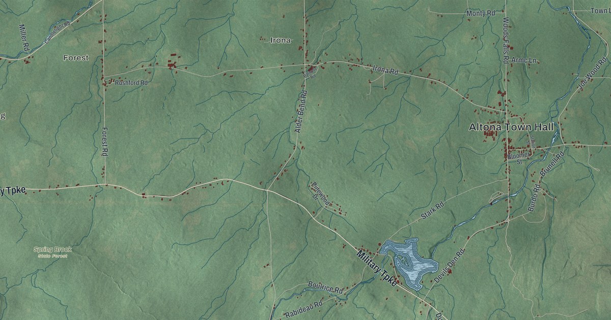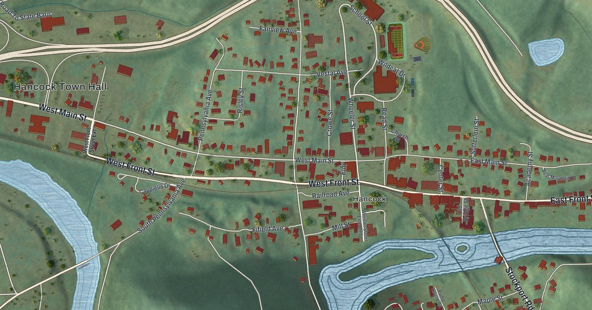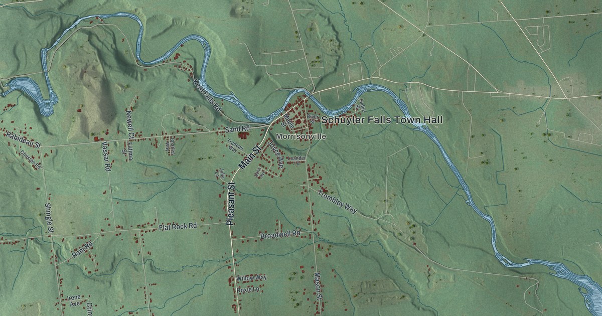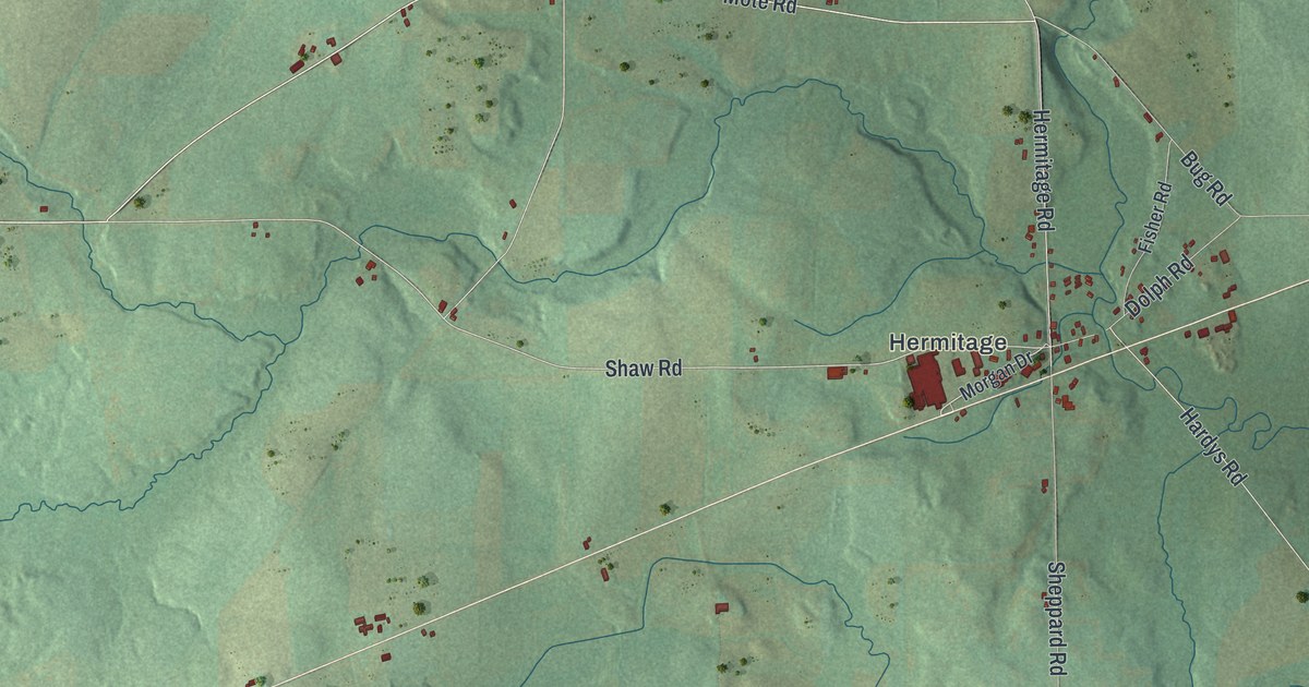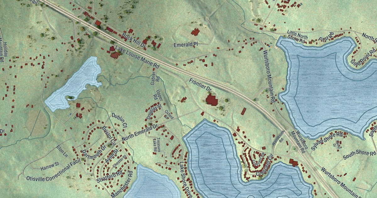
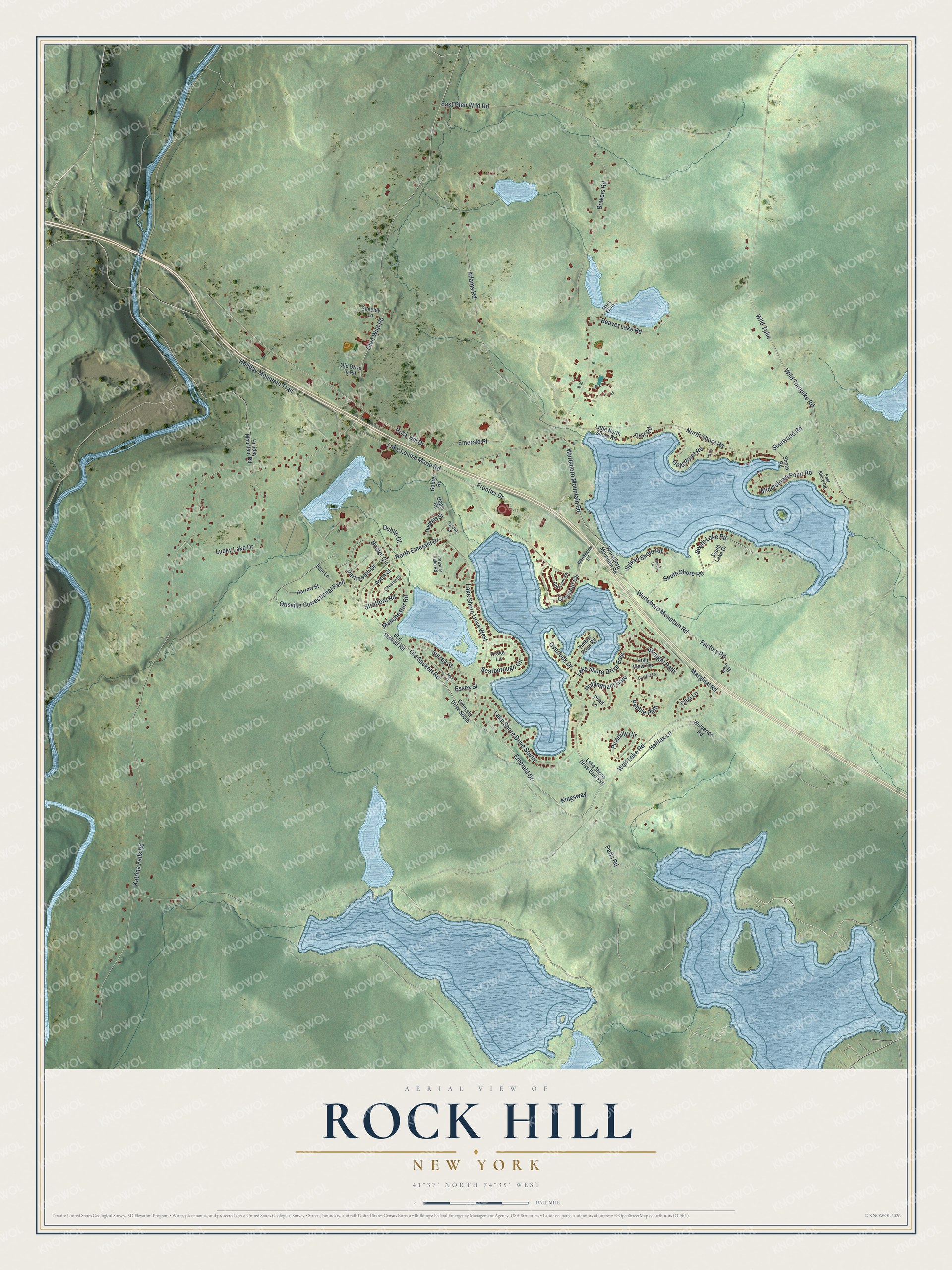
This beautifully detailed map of Rock Hill, New York was created in 2026 using aerial imagery combined with modern topographical, census, street and landmark data. It's a modern aerial view of Rock Hill in Sullivan County, New York, that combines modern data with a vintage aesthetic. The roads feature printed names, and if you look closely you can find your exact house accurately shown in its correct location.
Explore an aerial view of Rock Hill, New York
On this map you'll find Old Sackett Road, Emerald Drive, Wurtsboro Mountain Road, South Shore Road, Factory Road, South Lake Road, Marginal Road, North Emerald Drive, Katrina Falls Road, Lake Louise Marie Road, Rock Hill Drive, Wild Turnpike, and more. Each red shape is a building, so zoom in on the preview and look for yours.
Rock Hill has a story worth telling. Most of present-day Rock Hill appeared as Bridgeville on early maps and census records. The name Rock Hill arrived with the new Katrina Falls Road post office, which opened on October 29, 1885, and it suits the high rock cliffs that rise across the Neversink River. The area was first settled while it was still part of the Town of Mamakating. The Town of Thompson, named for Judge William A. Thompson, was formed from Mamakating in April 1803. That's from the Rock Hill Business and Community Association.
Rock Hill is a community in Sullivan County. The Census Bureau counted 2,369 people here in 2020.
Take a closer look at the Rock Hill map
Names on this map
These names are printed on this map.
Streets and roads: Old Sackett Road, Emerald Drive, Wurtsboro Mountain Road, South Shore Road, Factory Road, South Lake Road, Marginal Road, North Emerald Drive, Katrina Falls Road, Lake Louise Marie Road, Rock Hill Drive, Wild Turnpike.
More street names, A to Z
Adams Road, Avon Street, Beaver Lake Road, Bowers Road, Bristol Circle, Chelsea Lane, Chester Street, Club Lane, Crescent Circle, Crescent Vw, Dartmouth Drive, Douglas Street, Drake Lane, Dublin Court, East Glen Wild Road, East Shore Road, Emerald Drive South, Emerald Place, Essex Street, Eton Lane, Fir Road, First Road, Frontier Drive, Gabrer Road, Glen Wild Road, Gold Point Road, Halifax Lane, Harrow Street, High View Terrace, Holiday Mountain Road, Holiday Mountain Trail, Kent Street, Kingsway, Lake Shore Drive East, Lake Shore Drive East Extension, Lake Shore Drive South, Lake Shore Drive West, Laurel Drive, Little North Shore Road, Lucky Lake Drive, Manchester Road, Marie Elena, Middletown Point Road, North Shore Road, Nottingham Gate, Old Drive in Road, Otisville Correctional Facil, Overlook Drive, Oxford Street, Paris Road, Pebble Path, Picadilly Circle, Pond Lane, Scarborough Circle, Sheeley Lane, Sherwood Road, Shore Road, Short Road, South Lake Drive, Straight Path, Stratford Road, Surrey Street, Sylvan Shore Road, Timber Point Road, Treasure Lake Road, Upper Road, Wanaksink Road, Wild Turnpike Road, Wolf Lake Road, Wolverton Road, Wurstboro Mountain Road.
See it on a wall
The Rock Hill map as a framed print. Swipe for more.


Created by KNOWOL in 2026. The buildings are small red shapes, the roads carry their printed names, and shaded relief shows the shape of the land. The title panel reads "AERIAL VIEW OF ROCK HILL, NEW YORK" with 41°37' NORTH 74°35' WEST.
It looks right in a kitchen, an office or a den, and it's a gift for anyone who grew up in Rock Hill or moved away. Open the preview and find your street. See sizes and frames for the Rock Hill map.