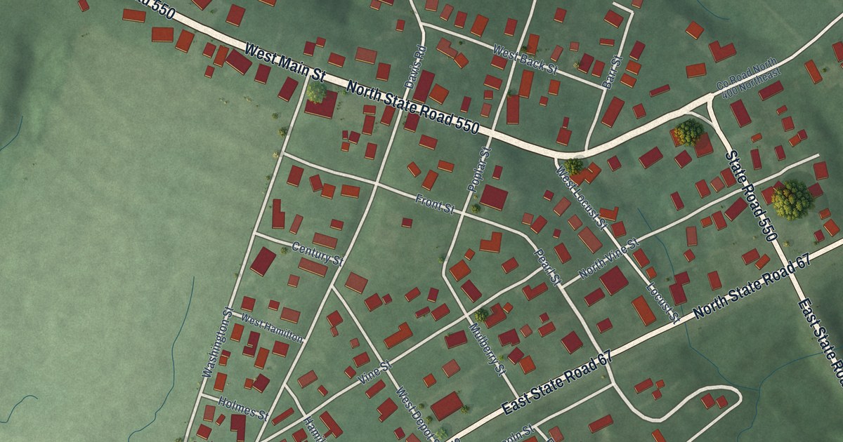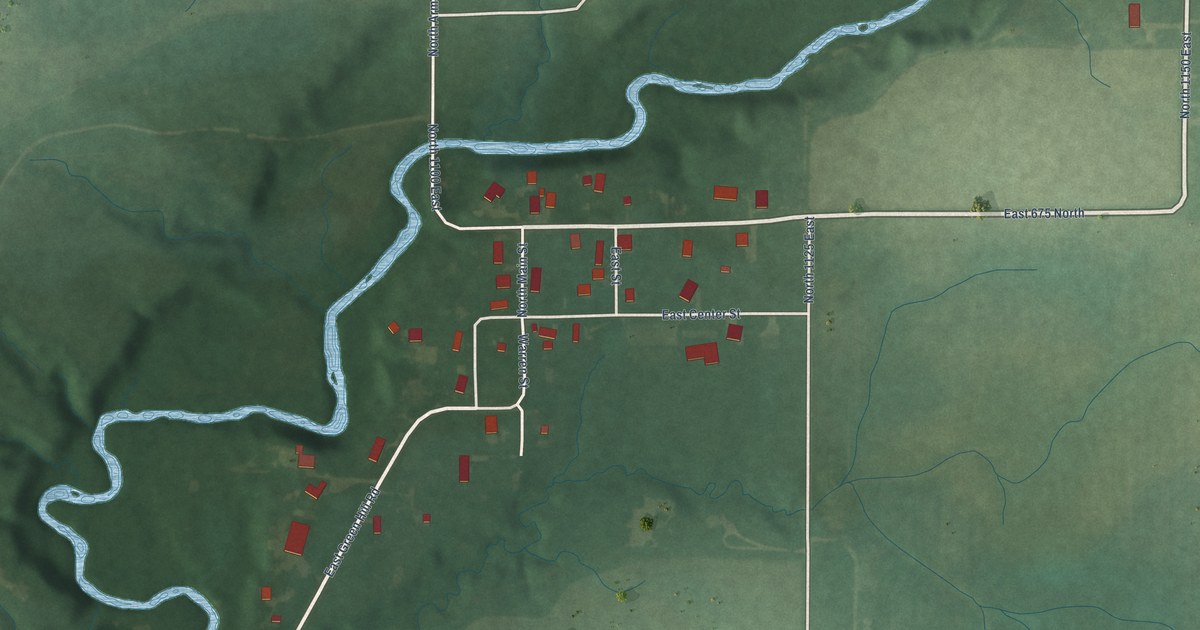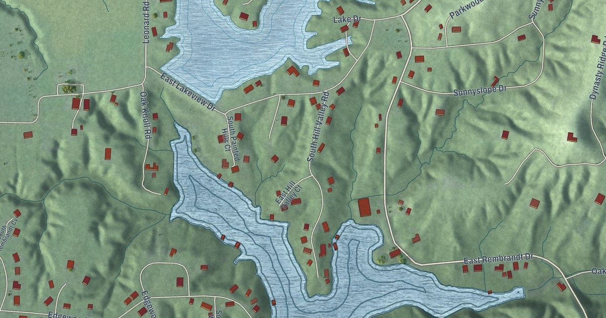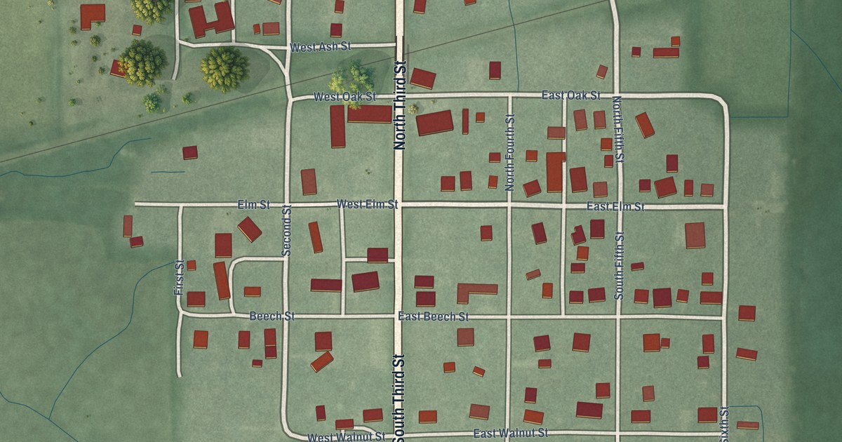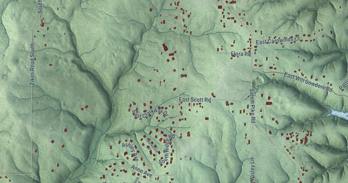
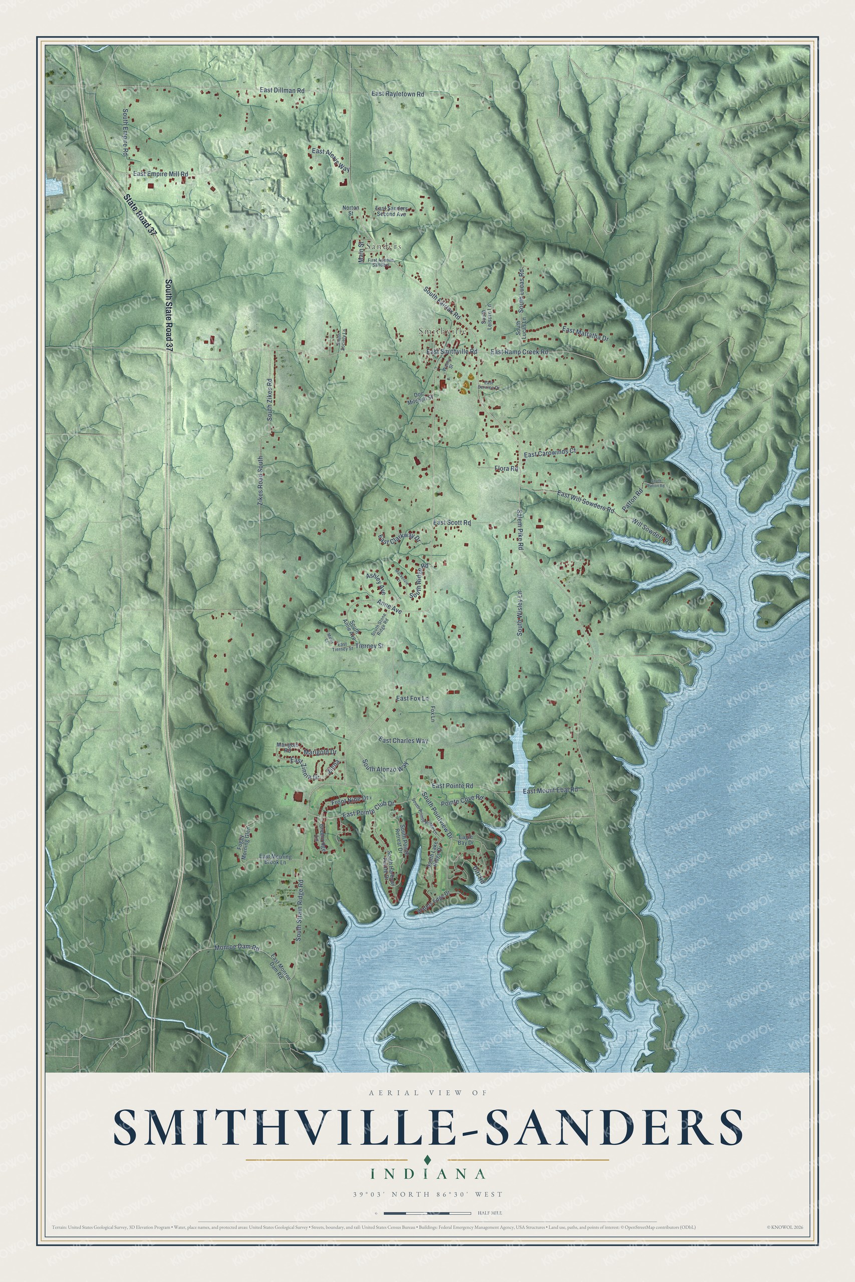
This beautifully detailed map of Smithville-Sanders, Indiana was created in 2026 using aerial imagery combined with modern topographical, census, street and landmark data. It's a modern aerial view of Smithville-Sanders in Monroe County, Indiana, that combines modern data with a vintage aesthetic. The roads feature printed names, and if you look closely you can find your exact house accurately shown in its correct location.
Explore an aerial view of Smithville-Sanders, Indiana
On this map you'll find Sanders, Smithville, South State Road 37, State Road 37, South Strain Ridge Road, East Smithville Road, East Ramp Creek Road, Salem Pike Road, South Fairfax Road, South Pointview Drive, Monroe Dam Road, South Ridge Road, and more. Each red shape is a building, so zoom in on the preview and look for yours.
Smithville-Sanders has a story worth telling. Smithville grew up with the New Albany railroad. Mansfield Bennett and George Smith laid it out in November 1851 with 38 lots on each side of the tracks, and Smith opened the first store. Sanders began as Limestone, platted in 1892 by Newell and Carinne Sanders. By 1914 Smithville had about 375 people, Methodist and Christian churches, and a weekly newspaper run by R. B. Carter. That's from the 1914 Lawrence and Monroe county history.
Smithville-Sanders is a community in Monroe County. The Census Bureau counted 3,323 people here in 2020.
Take a closer look at the Smithville-Sanders map
Names on this map
These names are printed on this map.
Places: Sanders and Smithville.
Streets and roads: South State Road 37, State Road 37, South Strain Ridge Road, East Smithville Road, East Ramp Creek Road, Salem Pike Road, South Fairfax Road, South Pointview Drive, Monroe Dam Road, South Ridge Road, Dirt Road, East Will Sowders Road.
More street names, A to Z
Anne Avenue, Ashley Avenue, Doc Mitchell Street, Eagle Bay Drive, East Alexis Way, East Bernice Drive, East Carowinds Court, East Charles Way, East Clarkway Drive, East Dillman Road, East Empire Mill Road, East Fox Lane, East Mattatha Drive, East Monroe Dam Road, East Morning Brook Lane, East Mount Ebal Road, East Pointe Club Drive, East Pointe Road, East Rayletown Road, East Sanders Second Avenue, East Scott Road, East Tierney Street, East Zinnia Drive, First Avenue Sanders, Flora Road, Foggy Morning Glen, Fox Lane, Front Nine Drive, Greenridge Lane, Mackenzie Court, Main Street, Marcy Court, Marigold Drive, Marigold Road, Norton Street, Patton Road, Pointe Cove Road, South Alonzo Way, South Anne Avenue, South Empire Road, South Harbour Pointe Drive, South Lake Ridge Drive, South Leisure Lane, South Lucas Lane, South Lucas Road, South Patton Road, South Pointe Retreat Drive, South Pointe Ridge Lane, South Society Lane, South Stone Ridge Road, South Wisley Lane, South Zikes Road, Tierney Street, Walnut Street, Waters Edge Drive, Will Sowders Road, Zikes Road South, Zinna.
See it on a wall
The Smithville-Sanders map as a framed print. Swipe for more.


Created by KNOWOL in 2026. The buildings are small red shapes, the roads carry their printed names, and shaded relief shows the shape of the land. The title panel reads "AERIAL VIEW OF SMITHVILLE-SANDERS, INDIANA" with 39°03' NORTH 86°30' WEST.
It looks right in a kitchen, an office or a den, and it's a gift for anyone who grew up in Smithville-Sanders or moved away. Open the preview and find your street. See sizes and frames for the Smithville-Sanders map.