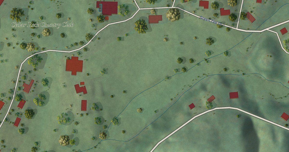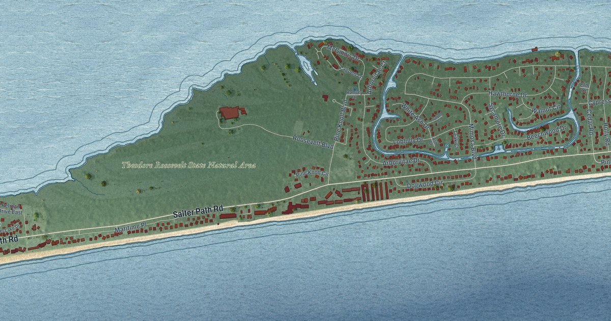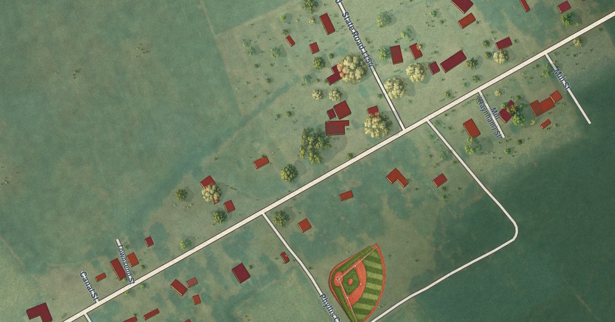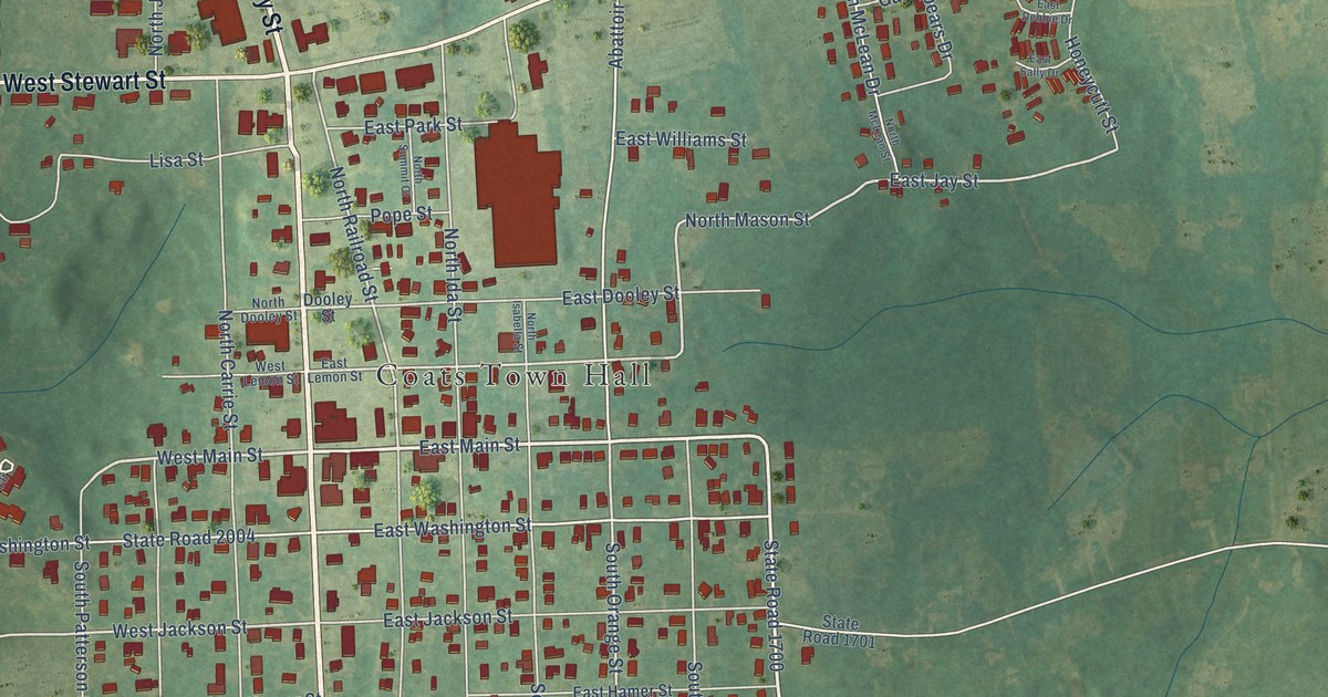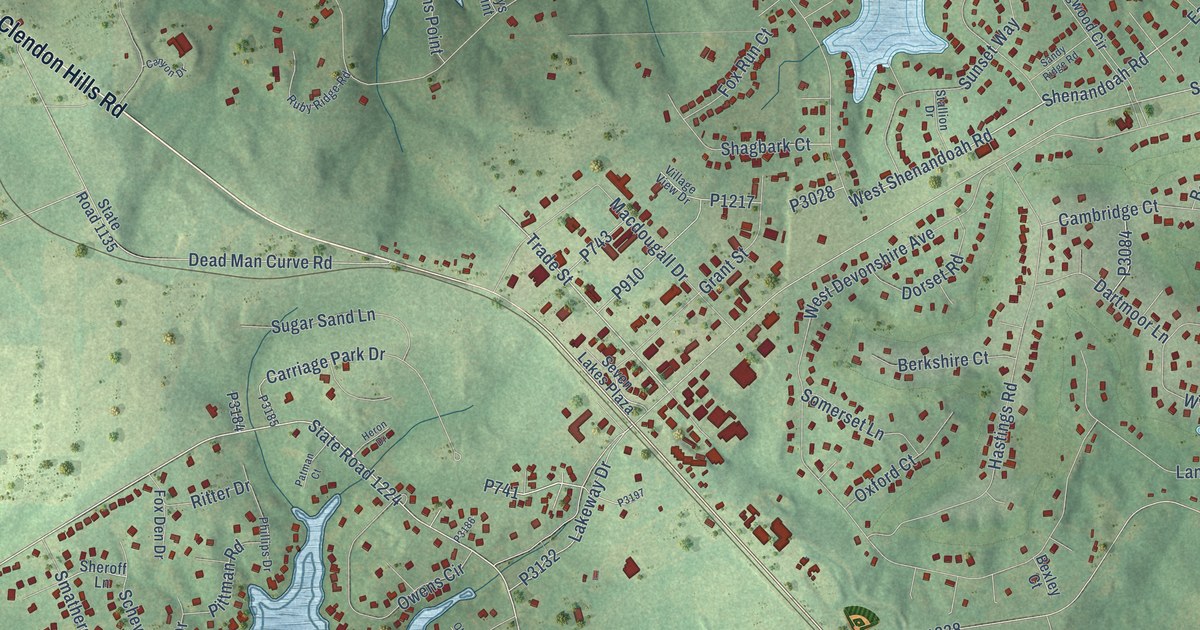
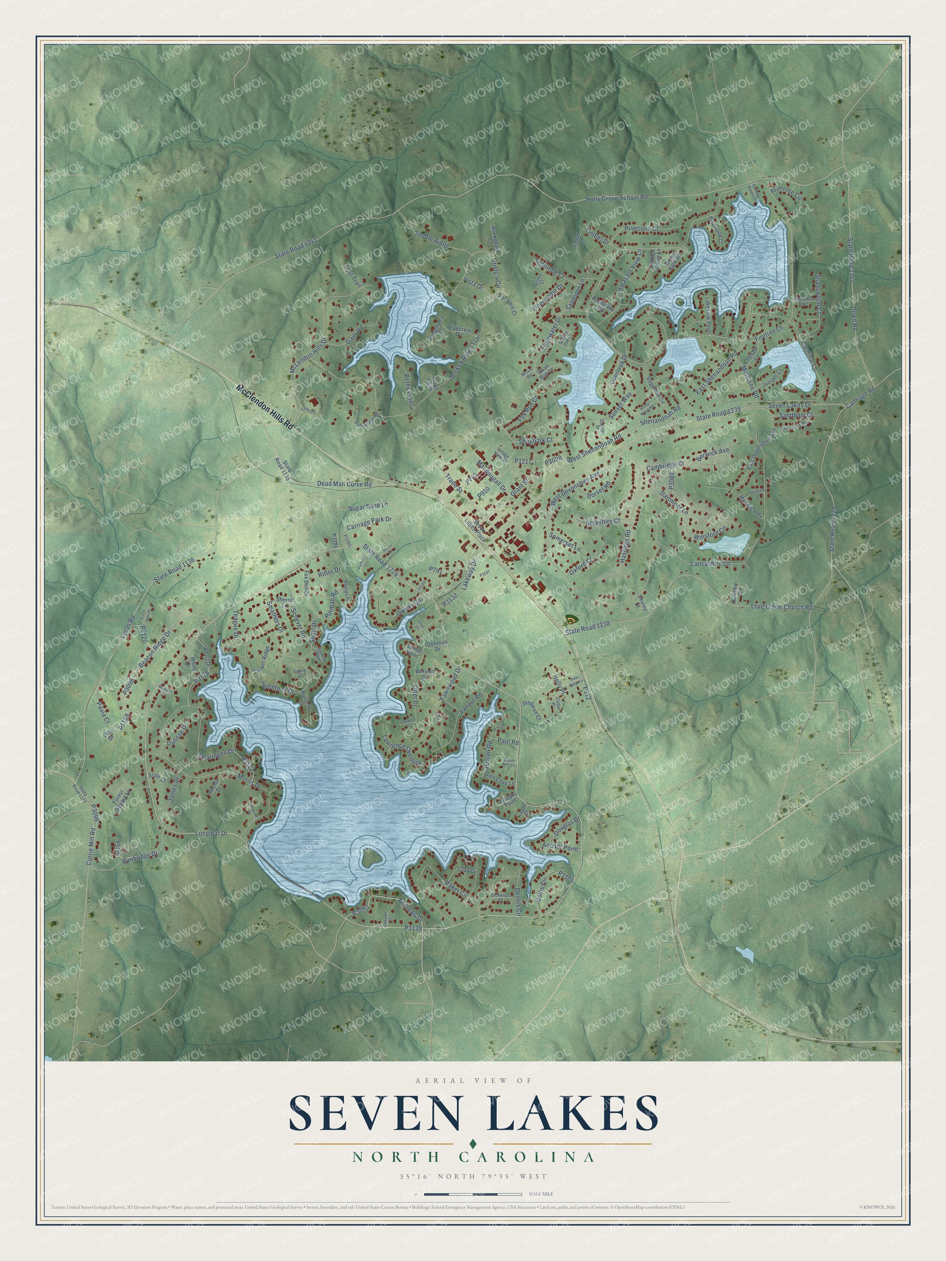
This beautifully detailed map of Seven Lakes, North Carolina was created in 2026 using aerial imagery combined with modern topographical, census, street and landmark data. It's a modern aerial view of Seven Lakes in Moore County, North Carolina, that combines modern data with a vintage aesthetic. The roads feature printed names, and if you look closely you can find your exact house accurately shown in its correct location.
Explore an aerial view of Seven Lakes, North Carolina
On this map you'll find McClendon Hills Road, State Road 1224, P3139, Andrews Drive, P3093, Trade Street, Shenandoah Road, Lakeway Drive, P3132, West Shenandoah Road, P1159, P741, and more. Each red shape is a building, so zoom in on the preview and look for yours.
Every town has a first chapter, and Seven Lakes is no exception. Sanford businessman Fred Lawrence went quail hunting on rural land in West End in the early 1970s and followed his dog to a natural lake basin in the woods. He saw potential in the land, and he soon formed a partnership to buy 1,100 acres and began to develop what became Seven Lakes. The first homes were weekend and summer retreats on seven spring-fed lakes, the largest being Lake Sequoia. That's from the Seven Lakes Insider.
Seven Lakes is a community in Moore County. The Census Bureau counted 4,900 people here in 2020.
Take a closer look at the Seven Lakes map
Names on this map
These names are printed on this map.
Streets and roads: McClendon Hills Road, State Road 1224, Andrews Drive, Trade Street, Shenandoah Road, Lakeway Drive, West Shenandoah Road, Simmons Drive, Saddle Ridge, Longleaf Drive, Holly Grove School Road, State Road 1241.
More street names, A to Z
Anchor Point, Azalea Court, Baker Circle, Baldwin Drive, Banbridge Drive, Beacon Ridge Drive, Berkshire Court, Berwick Avenue, Beths Point, Bexley Court, Broken Ridge Trail, Brown Bark Road, Buckboard Court, Butterfly Court, Callis Circle, Cambridge Court, Canyon Drive, Cardinal Lane, Carr Court, Carriage Park Drive, Carthage Road, Cedar Lane, Cedar Place, Cherokee Trail, Clay Circle, Cottage Grove Lane, Cristy's Circle, Currie Mill Road, Dartmoor Lane, Dead Man Curve Road, Dennis Circle, Dickerson Drive, Dogwood Circle, Dorset Road, Douglas Drive, Dowd Road, Drum Hill Court, Dubose Drive, East Devonshire Avenue, East Shenandoah Road, Edgewater Drive, Edwards Court, Far View Court, Fawnwood Drive, Finch Gate Drive, Firetree Lane, Forest Square Lane, Fox Den Drive, Fox Run Court, Gails Road, Glen Cove Lane, Grant Street, Harrell Road, Harwich Court, Hastings Road, Heron Drive, Holly Place, James Drive, Jonathon's Drive, Josephs Point, Juniper Court, Lakeview Point, Lancashire Lane, Lawrence Overlook, Leewood Court, Lewallen Court, Logan Court, Lost Trail, Love Grove Church Road, Lucas Road, Macdougall Drive, McLendon Hills Drive, Millstone Road, Mistic Road, Morris Drive, Oehman Drive, Otter Court, Otter Drive, Overlook Drive, Owens Circle, Oxford Court, Patman Court, Paula Court, Paul Road, Phillips Drive, Pinecone Court, Pineneedle Drive, Pine Ridge Lane, Pinewood Court, Pittman Road, Pleasant View Lane, Primrose Circle, Rector Drive, Ritter Drive, Roundtree Road, Ruby Ridge Road, Running Brook Lane, Sandham Court, Sandspur Lane, Sandy Ridge Road, Scarlet Oak Drive, Schever Road, Seminole Court, Seven Lakes Drive, Seven Lakes Plaza, Shadywood Court, Shagbark Court, Shaw Drive, Sheffield Lane, Sheroff Lane, Sherwood Road, Slate Court, Smathers Drive, Somerset Lane, Spong Court, Stallion Drive, State Road 1129, State Road 1135, State Road 1136, State Road 1229, State Road 1238, State Road 1239, State Road 1240, Stedman Court, Sugar Sand Lane, Sunrise Point, Sunset Point, Sunset Way, Swan Run Court, Swaringen Drive, Teague Drive, Thistle Lane, Timber Drive, Timber Ridge, Trailcrest Drive, Troys Point, Vanore Road, Villa Drive, Village View Drive, Vista Drive, Wertz Drive, West Devonshire Avenue, White Drive, Winsford Circle, Winston Drive, Woodall Court.
See it on a wall
The Seven Lakes map as a framed print. Swipe for more.


Created by KNOWOL in 2026. The buildings are small red shapes, the roads carry their printed names, and shaded relief shows the shape of the land. The title panel reads "AERIAL VIEW OF SEVEN LAKES, NORTH CAROLINA" with 35°16' NORTH 79°35' WEST.
Hang it in the hallway, the office or the cabin, or give it to someone who left Seven Lakes and still calls it home. Open the preview and look for a street you know. See sizes and frames for the Seven Lakes map.