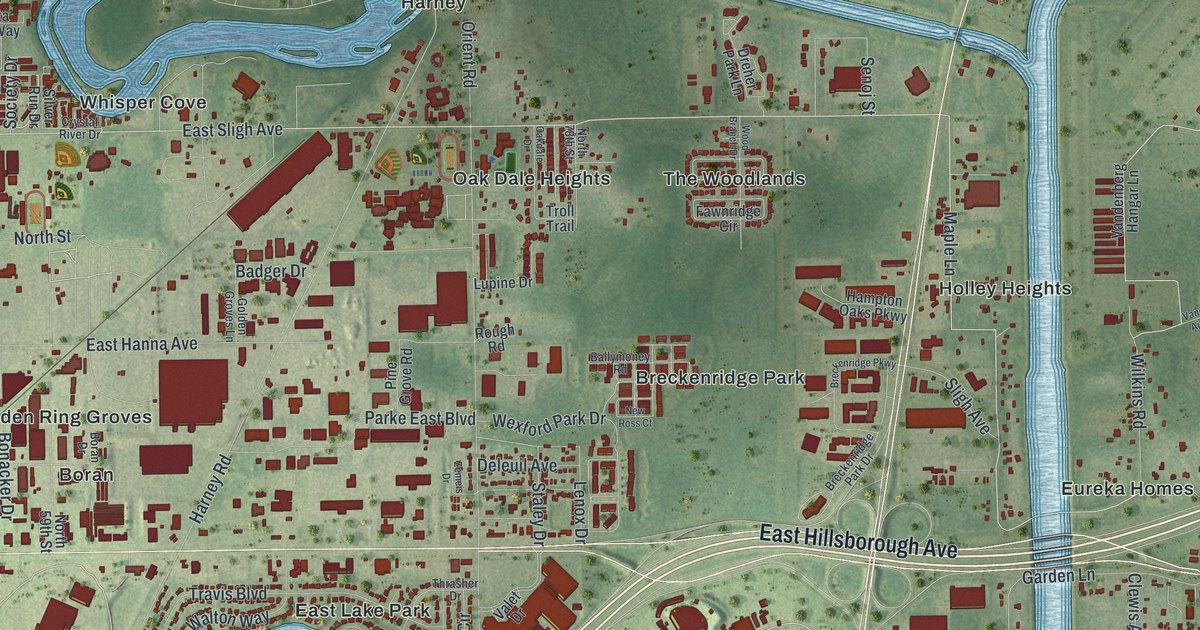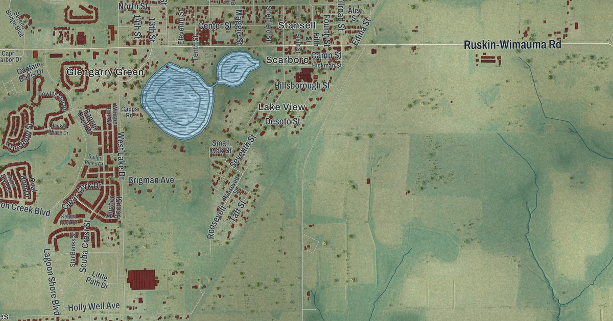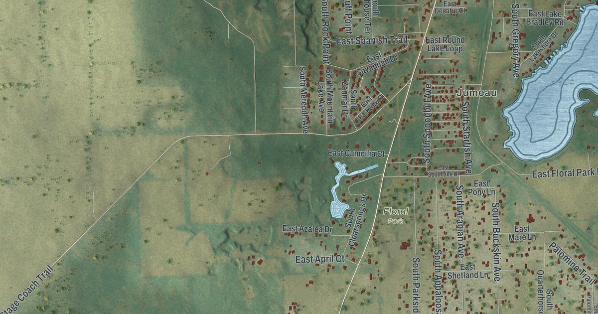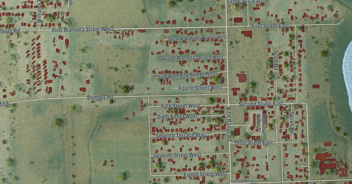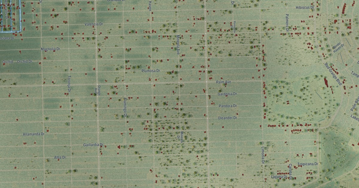
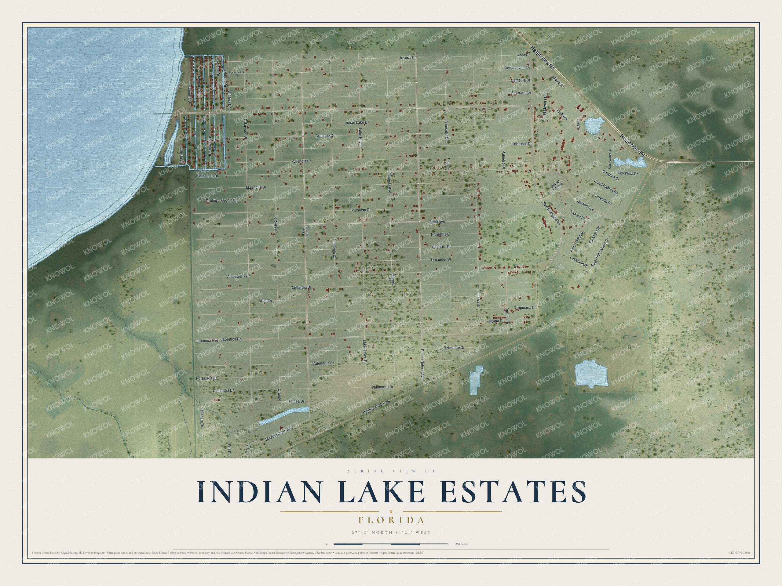
This beautifully detailed map of Indian Lake Estates, Florida was created in 2026 using aerial imagery combined with modern topographical, census, street and landmark data. It's a modern aerial view of Indian Lake Estates in Polk County, Florida, that combines modern data with a vintage aesthetic. The roads feature printed names, and if you look closely you can find your exact house accurately shown in its correct location.
Explore an aerial view of Indian Lake Estates, Florida
On this map you'll find Hesperides Road, Park Avenue, Ponce Deleon Avenue, Red Grange Boulevard, Japonica Avenue, Palm Avenue, Ixora Drive, Azalea Drive, Aborea Drive, Arborea Drive, Granada Drive, Deland Avenue, and more. Each red shape is a building, so zoom in on the preview and look for yours.
Indian Lake Estates has a story worth telling. Indian Lake Estates was founded in the 1950s in Polk County. It was one of the first big land developments in Florida after people took a fresh interest in the state, following the collapse of the land boom of the 1920s. That's from the book Florida Place Names by Allen Morris.
Indian Lake Estates is a community in Polk County. The Census Bureau counted 926 people here in 2020.
Take a closer look at the Indian Lake Estates map
Names on this map
These names are printed on this map.
Streets and roads: Hesperides Road, Park Avenue, Ponce Deleon Avenue, Red Grange Boulevard, Japonica Avenue, Palm Avenue, Ixora Drive, Azalea Drive, Aborea Drive, Arborea Drive, Granada Drive, Deland Avenue.
More street names, A to Z
Alba Drive, Allamanda Drive, Althea Drive, Amaryllis Drive, Avocado Drive, Banyan Drive, Belmonte Drive, Bougainville Drive, Bouganvillea Drive, Calendula Drive, Callandra Drive, Calliandra Drive, Camellia Drive, Caroba Drive, Clearwater Drive, Coral Gables Drive, Daytona Drive, Eldorado Drive, Flamingo Drive, Fox Drive, Ft Meyers Drive, Gaillardia Drive, Gardenia Drive, Heron Court, Hibiscus Drive, Highway 630 East, Indian Lake Drive, Japonica Drive, Key West Drive, Laguna Drive, Lake Haven, Lake Haven Drive, Lakeland Drive, Lakeview Drive, Lantana Drive, Limonia Drive, Magnolia Drive, Meadow Lark Boulevard, Miami Drive, Mineola Avenue, Mineola Drive, Oleander Drive, Orange, Orange Avenue, Orchid, Orchid Drive, Orlando Drive, Palm Beach Drive, Palmero Drive, Palmetto Drive, Pandora Drive, Park Drive, Pinnata Drive, Plumosa Drive, Poinciana Drive, Poinsetta Drive, Poinsettia Drive, Portulaca Drive, Saint Petersburg Drive, Sarasota Drive, Tampa Drive, Toronja Drive, Tropicana Drive, Valencia Drive, Winter Haven Drive.
See it on a wall
The Indian Lake Estates map as a framed print. Swipe for more.


Created by KNOWOL in 2026. The buildings are small red shapes, the roads carry their printed names, and shaded relief shows the shape of the land. The title panel reads "AERIAL VIEW OF INDIAN LAKE ESTATES, FLORIDA" with 27°48' NORTH 81°21' WEST.
It looks right in a kitchen, an office or a den, and it's a gift for anyone who grew up in Indian Lake Estates or moved away. Open the preview and find your street. See sizes and frames for the Indian Lake Estates map.