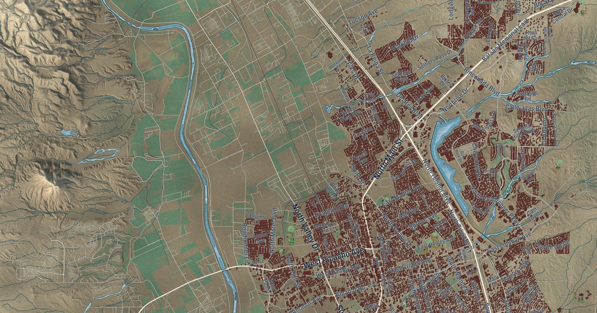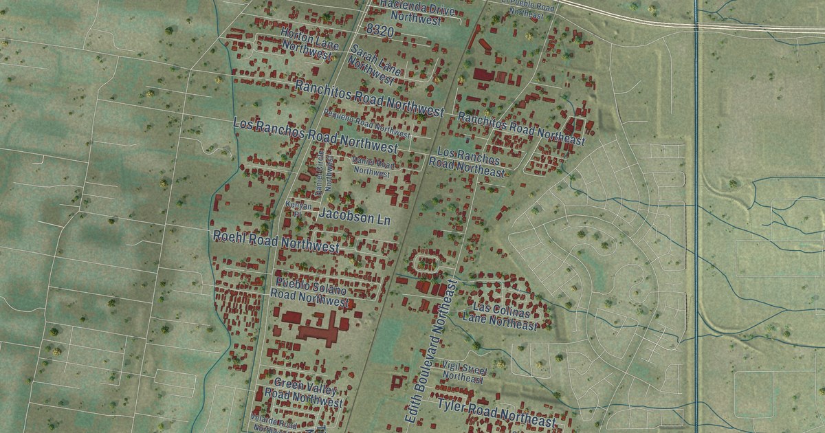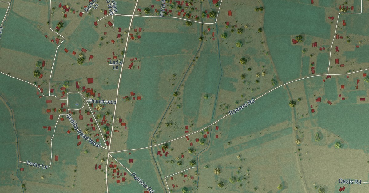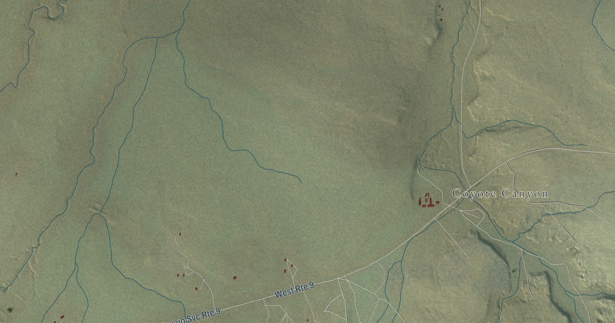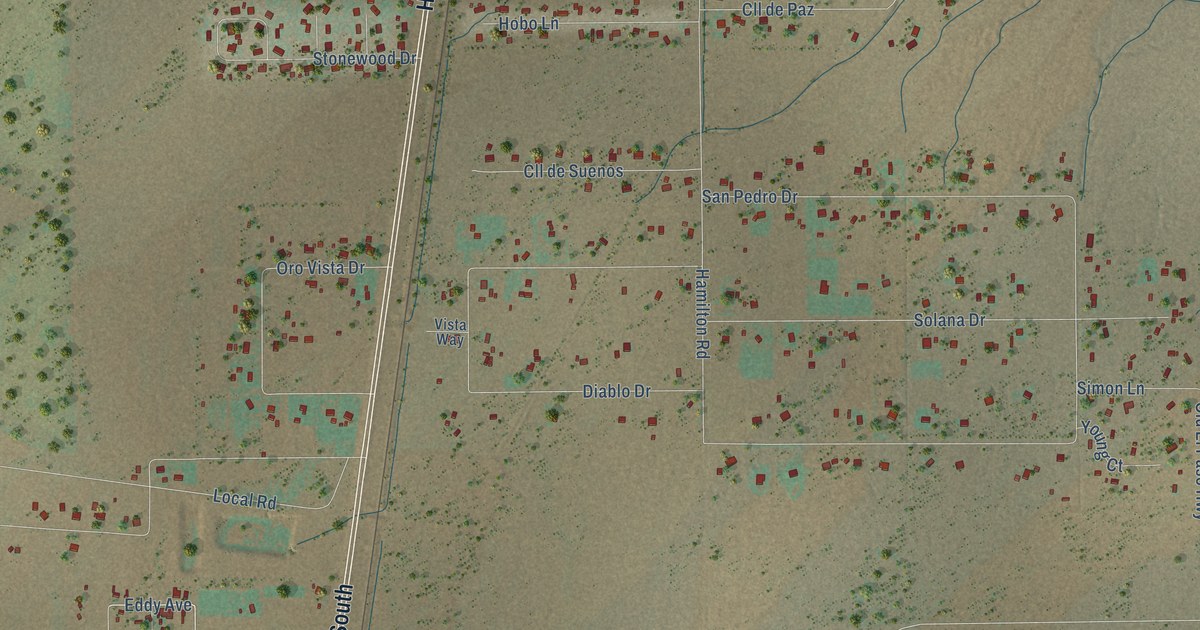
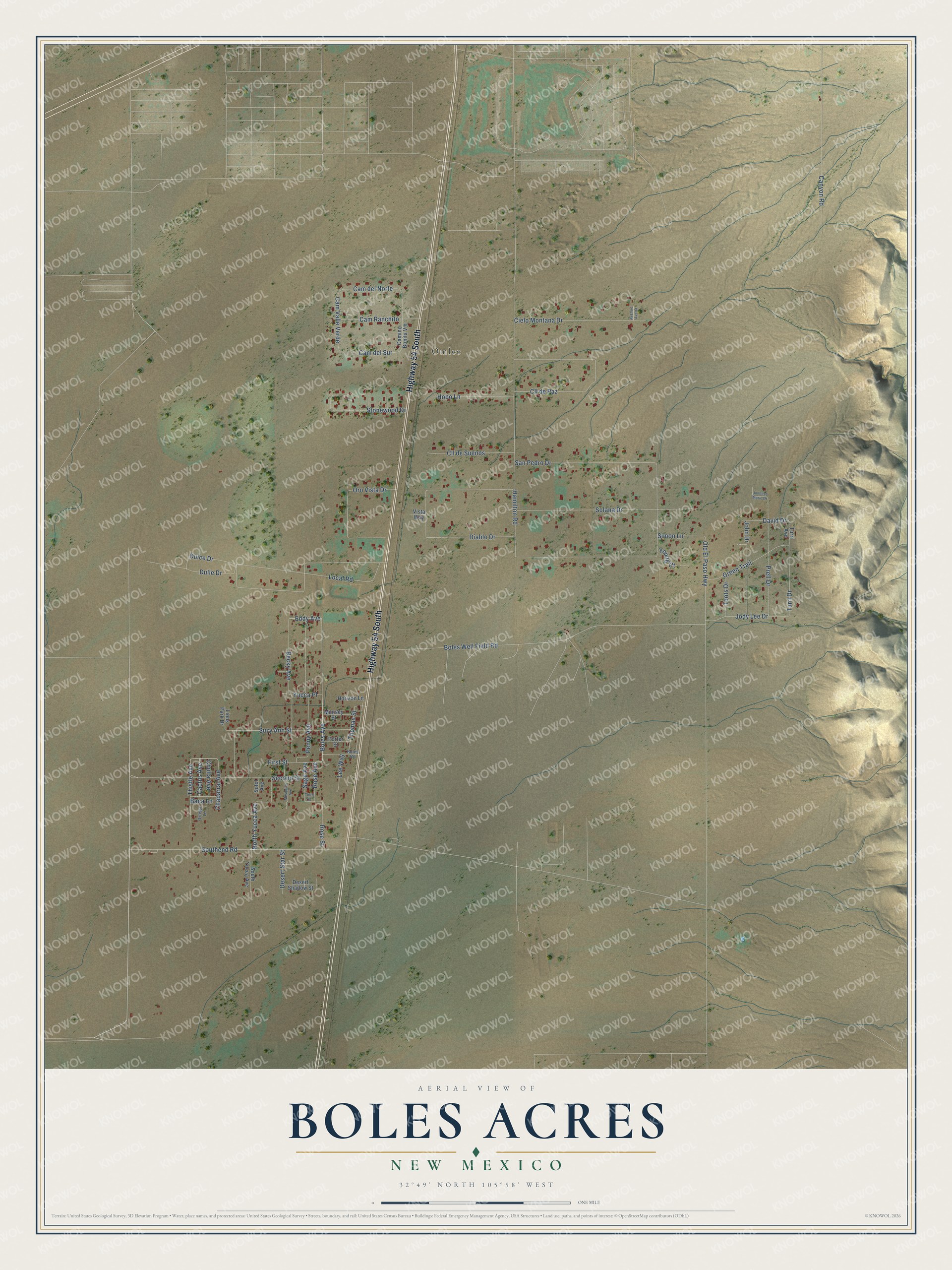
This beautifully detailed map of Boles Acres, New Mexico was created in 2026 using aerial imagery combined with modern topographical, census, street and landmark data. It's a modern aerial view of Boles Acres in Otero County, New Mexico, that combines modern data with a vintage aesthetic. The roads feature printed names, and if you look closely you can find your exact house accurately shown in its correct location.
Explore an aerial view of Boles Acres, New Mexico
On this map you'll find Omlee, Highway 54 South, Boles Avenue, Eddy Avenue, First Street, Turri Drive, Cam del Sur, San Pedro Drive, Hamilton Road, Dulce Drive, Diablo Drive, Southend Road, and more. Each red shape is a building, so zoom in on the preview and look for yours.
Here is a piece of Boles Acres history. Omlee, on US 54 and the railroad five miles south of Alamogordo, began as a railroad switch and grew into a loose community. Its name joins the initials and surname of Oliver M. Lee, whose ranch was nearby, and many people in the area say it ah-ma-LEE. That's from the University of New Mexico Press.
Boles Acres is a community in Otero County. The Census Bureau counted 1,788 people here in 2020.
Take a closer look at the Boles Acres map
Names on this map
These names are printed on this map.
Places: Omlee.
Streets and roads: Highway 54 South, Boles Avenue, Eddy Avenue, First Street, Turri Drive, Cam del Sur, San Pedro Drive, Hamilton Road, Dulce Drive, Diablo Drive, Southend Road, Boles Well Field Road.
More street names, A to Z
Avenue Aveita, Baca Lane, Becky Avenue, Boles Road, Cactus Avenue, Cam del Norte, Camino Bonita Vis, Cam Ranchito, Cam Valle Verde, Canyon Road, Chaparral Avenue, Cholla Avenue, Cielo Montana Drive, Cll de Paz, Cll de Suenos, David Drive, Desert Shadow Street, Desert Star Street, Dulle Drive, Green Trail, Hobo Lane, Horizon Lane, Jody Lee Drive, John Drive, Johnese Marie Drive, Lee Way, Lions Park Drive, Local Road, Mesquite Avenue, Munsey Street, North Yucca Avenue, Old El Paso Highway, Oro Vista Drive, Ortega Lane, Penny Avenue, Porter Street, Prell Drive, Rose Avenue, Rose Street, Sage Avenue, Second Street, Simon Lane, Solana Drive, Sotol Avenue, South Yucca Avenue, Stonewood Drive, Suzy Ann Street, Third Street, Thistle Avenue, Thomas Street, Toots Drive, Turri Avenue, Vista Way, Young Court, Yucca Place.
See it on a wall
The Boles Acres map as a framed print. Swipe for more.


Created by KNOWOL in 2026. The buildings are small red shapes, the roads carry their printed names, and shaded relief shows the shape of the land. The title panel reads "AERIAL VIEW OF BOLES ACRES, NEW MEXICO" with 32°49' NORTH 105°58' WEST.
It suits a den, a classroom or a front hall, and it makes a gift for anyone with Boles Acres roots. Open the preview and find the block you know. See sizes and frames for the Boles Acres map.