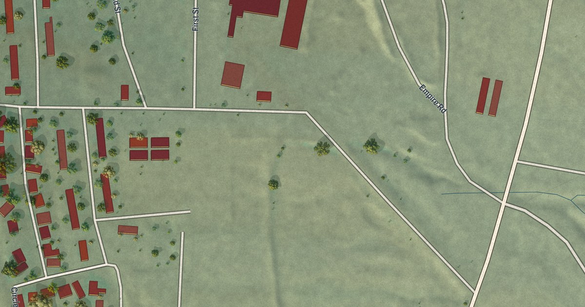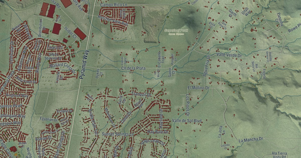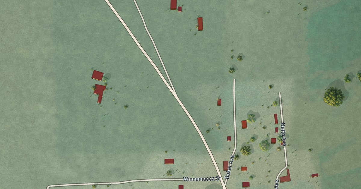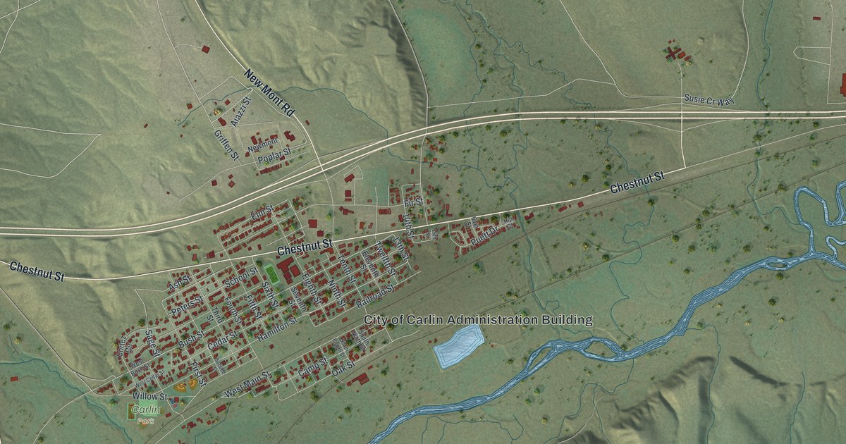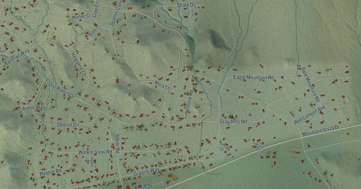
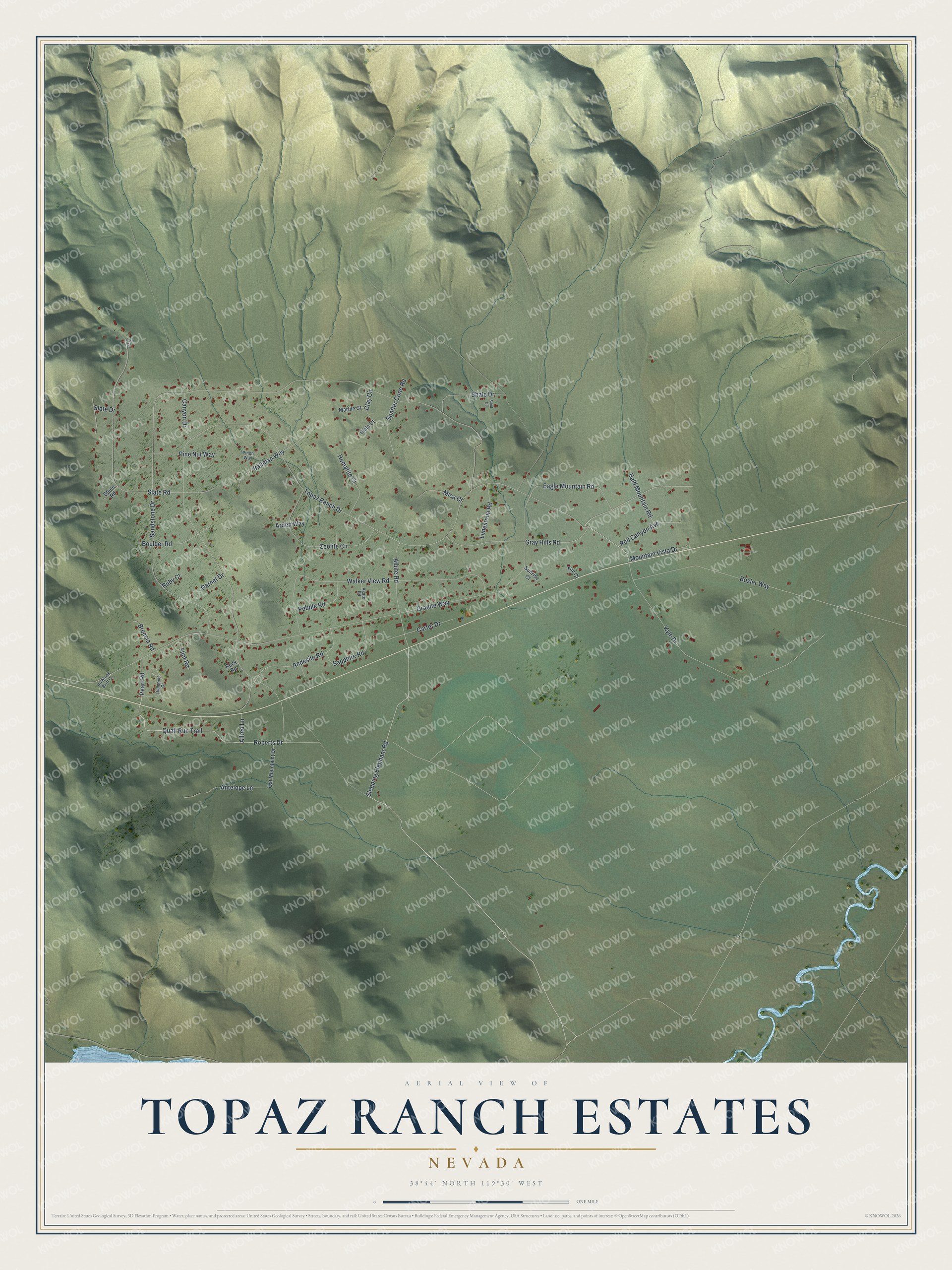
This beautifully detailed map of Topaz Ranch Estates, Nevada was created in 2026 using aerial imagery combined with modern topographical, census, street and landmark data. It's a modern aerial view of Topaz Ranch Estates in Douglas County, Nevada, that combines modern data with a vintage aesthetic. The roads feature printed names, and if you look closely you can find your exact house accurately shown in its correct location.
Explore an aerial view of Topaz Ranch Estates, Nevada
On this map you'll find Quail Run Trail, Pearl Road, Roberts Drive, Topaz Ranch Drive, Sleeping Elephant Road, Gray Hills Road, Sandstone Drive, Granite Way, Kyle Drive, Walker View Road, Bosler Way, Slate Road, and more. Each red shape is a building, so zoom in on the preview and look for yours.
Topaz Ranch Estates has a story worth telling. When University of Nevada researchers surveyed the Lake Topaz area in 1986, most of its people lived at Topaz Ranch Estates, five miles north of the lake. Nearly all had arrived within the last ten years, most of them retirees from California, on lots of two to three acres, with mostly dirt roads and no stop lights. The area had a volunteer fire department, a church and a community hall, and nine local residents trained at that hall went from home to home to gather the answers. That's from the University of Nevada Reno.
Topaz Ranch Estates is a community in Douglas County. The Census Bureau counted 1,630 people here in 2020.
Take a closer look at the Topaz Ranch Estates map
Names on this map
These names are printed on this map.
Streets and roads: Quail Run Trail, Pearl Road, Roberts Drive, Topaz Ranch Drive, Sleeping Elephant Road, Gray Hills Road, Sandstone Drive, Granite Way, Kyle Drive, Walker View Road, Bosler Way, Slate Road.
More street names, A to Z
Agate Road, Albite Road, Allred Lane, Andesite Road, Antelope Lane, Arden Way, Bald Mountain Road, Ballman Way, Boulder Road, Breccia Road, Canyon Drive, Carter Drive, Clay Circle, Diamond Court, Eagle Mountain Road, Flint Road, Garnet Drive, Hematite Court, Holbrook Bluff Court, Limestone Road, Marble Court, Mica Court, Mountain Vista Drive, Oat Mountaint Drive, Opal Drive, Pebble Road, Pine Nut Way, Pinon Way, Red Canyon Avenue, Rock Road, Ruby Court, Sand Court, Sapphire Road, Shale Drive, Slate Court, Slate Drive, Spatter Cone Road, Stone Road, Sunrise Court, Tile Court, Zeolite Circle.
See it on a wall
The Topaz Ranch Estates map as a framed print. Swipe for more.


Created by KNOWOL in 2026. The buildings are small red shapes, the roads carry their printed names, and shaded relief shows the shape of the land. The title panel reads "AERIAL VIEW OF TOPAZ RANCH ESTATES, NEVADA" with 38°44' NORTH 119°30' WEST.
It looks right in a kitchen, an office or a den, and it's a gift for anyone who grew up in Topaz Ranch Estates or moved away. Open the preview and find your street. See sizes and frames for the Topaz Ranch Estates map.