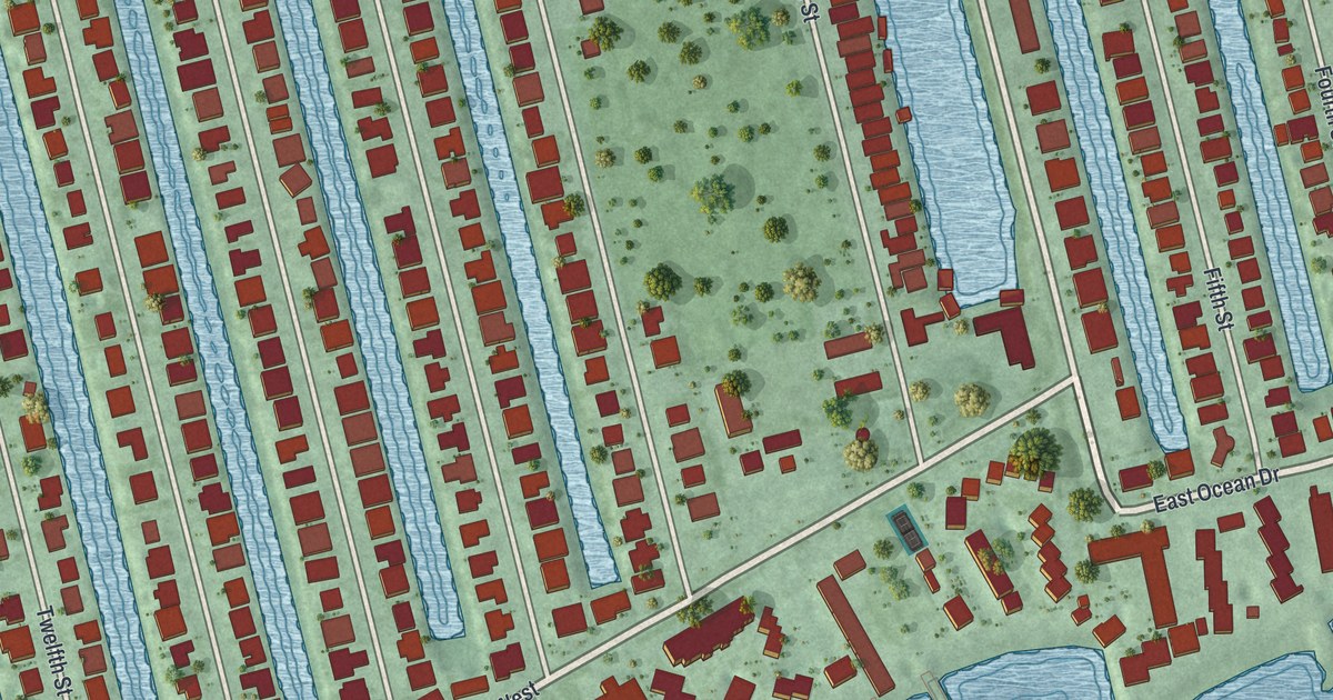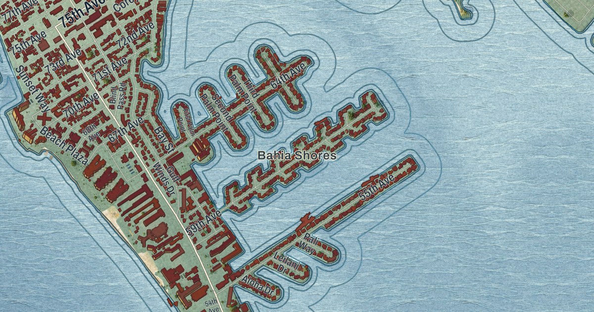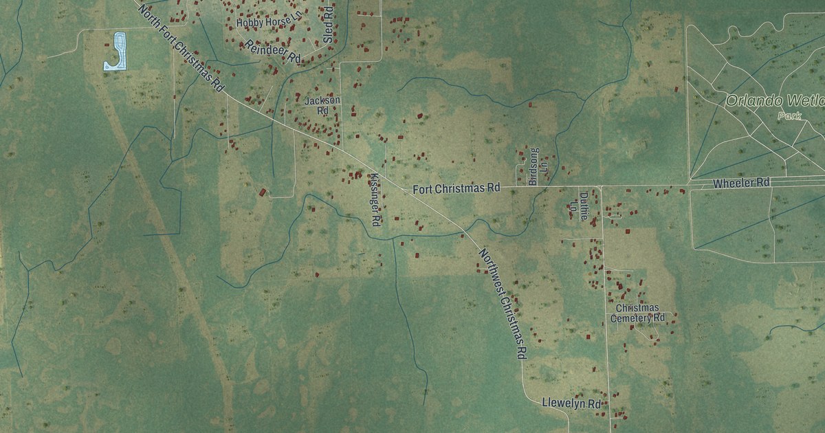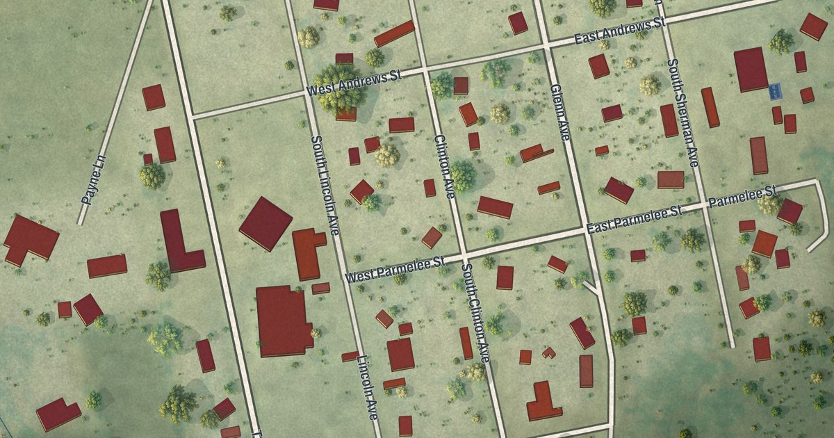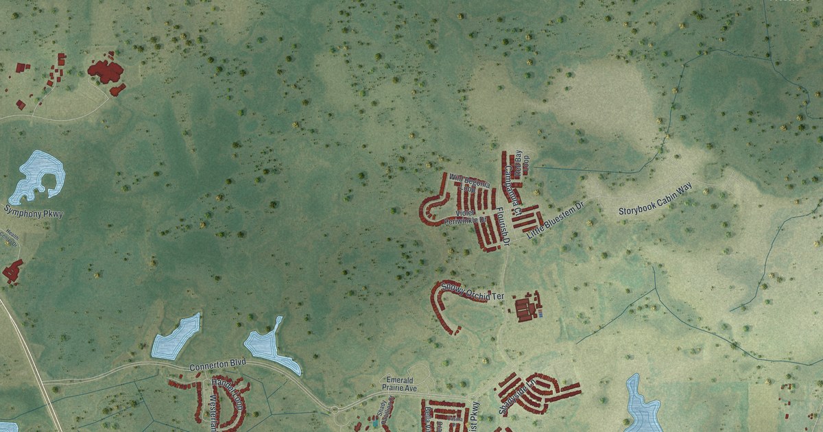
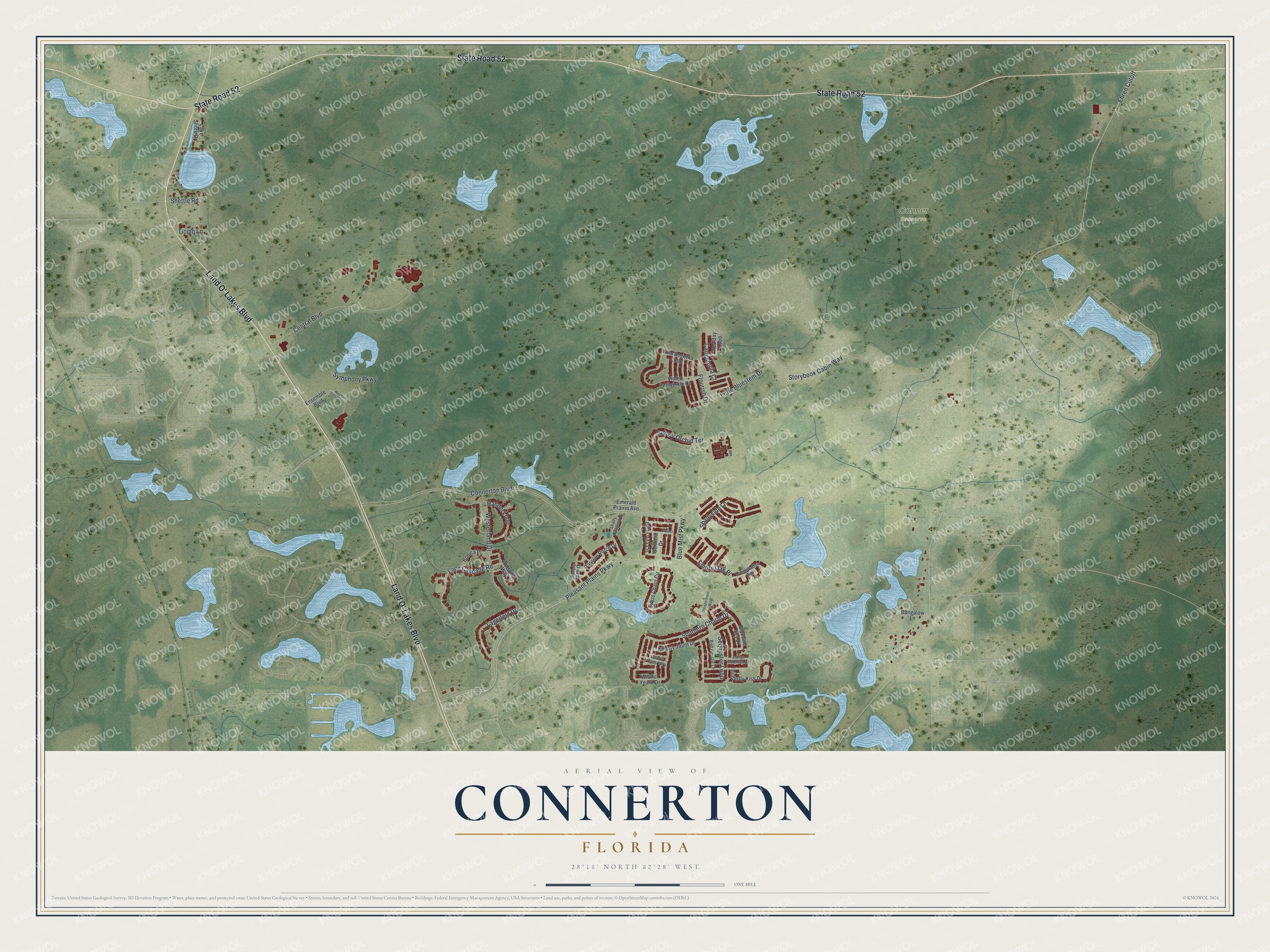
This beautifully detailed map of Connerton, Florida was created in 2026 using aerial imagery combined with modern topographical, census, street and landmark data. It's a modern aerial view of Connerton in Pasco County, Florida, that combines modern data with a vintage aesthetic. The roads feature printed names, and if you look closely you can find your exact house accurately shown in its correct location.
Explore an aerial view of Connerton, Florida
On this map you'll find Conner Preserve, State Road 52, Land O' Lakes Boulevard, Pleasant Plains Parkway, Connerton Boulevard, Ehren Cutoff, Flourish Drive, Little Bluestem Drive, Central Boulevard, Westerland Drive, Southern Charm Drive, Sequester Loop, and more. Each red shape is a building, so zoom in on the preview and look for yours.
Connerton is a community in Pasco County. The Census Bureau counted 5,282 people here in 2020. Connerton sits about 6 miles southeast of Quail Ridge, 7 miles north of Land O' Lakes and 8 miles southeast of Shady Hills. The map prints the town name in its title panel, with the coordinates below it.
Take a closer look at the Connerton map
Names on this map
These names are printed on this map.
Places: Conner Preserve.
Streets and roads: State Road 52, Land O' Lakes Boulevard, Pleasant Plains Parkway, Connerton Boulevard, Ehren Cutoff, Flourish Drive, Little Bluestem Drive, Central Boulevard, Westerland Drive, Southern Charm Drive, Sequester Loop, Lace Cascade Road.
More street names, A to Z
Bella Vita Circle, Billowy Jaunt Drive, Bird Whistle Lane, Blue Mist Parkway, Bluevine Sky Drive, Bonica Place, Bungalow Lane, Butterfly Kiss Drive, Campanula Court, Casina Place, Emerald Prairie Avenue, Emory Oak Place, Ensemble Boulevard, Handel Loop, Health Center Drive, Indian Summer Drive, Lagerfeld Drive, Lake Shore Drive, Passive Porch Drive, Red Bay Loop, Savory Walk Drive, Sentiero Drive, Shady Pavillion Court, Shadyside Lane, Shettle Road, Snowy Orchid Terrace, Starry Eyes Way, Storybook Cabin Way, Swiss Chard Circle, Symphony Parkway, Ticino Lane, Violet Periwinkle Drive, Wild Begonia Loop, Winsome Way, Wistful Yearn Drive, Wonderment Way, Woodshadow Way.
See it on a wall
The Connerton map as a framed print. Swipe for more.


Created by KNOWOL in 2026. The buildings are small red shapes, the roads carry their printed names, and shaded relief shows the shape of the land. The title panel reads "AERIAL VIEW OF CONNERTON, FLORIDA" with 28°18' NORTH 82°28' WEST.
It looks right in a kitchen, an office or a den, and it's a gift for anyone who grew up in Connerton or moved away. Open the preview and find your street. See sizes and frames for the Connerton map.