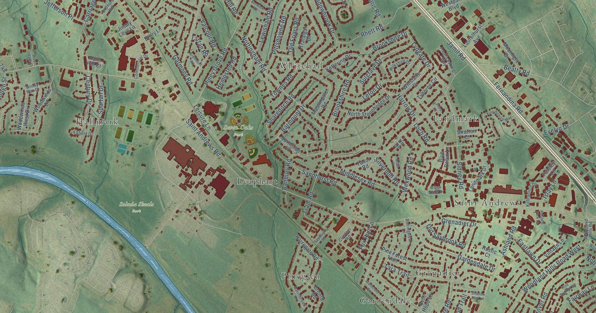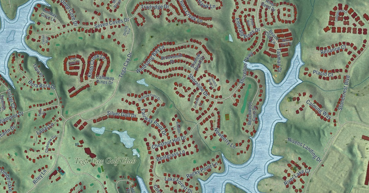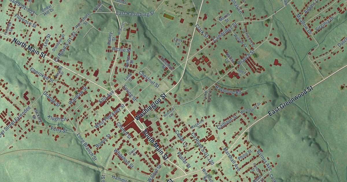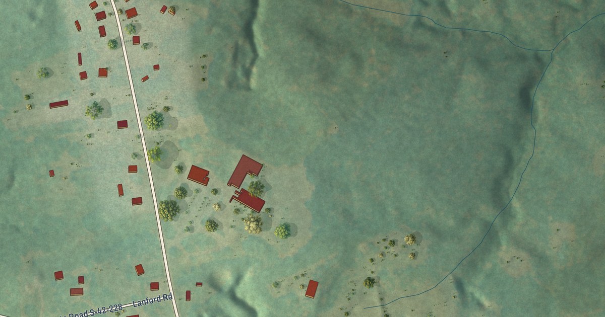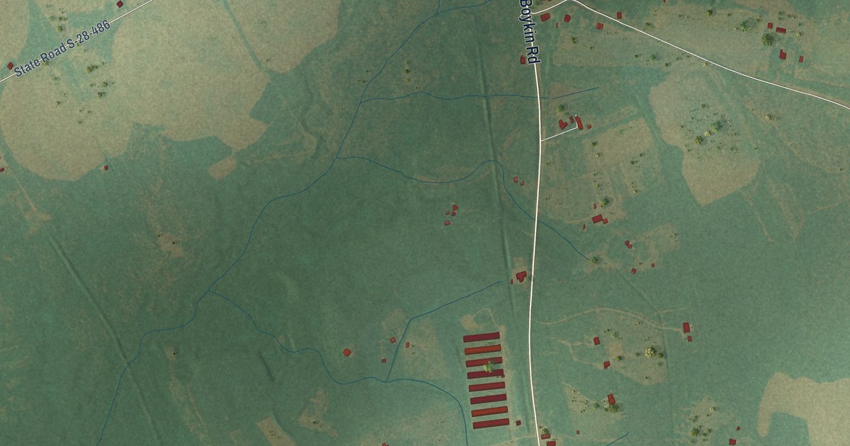
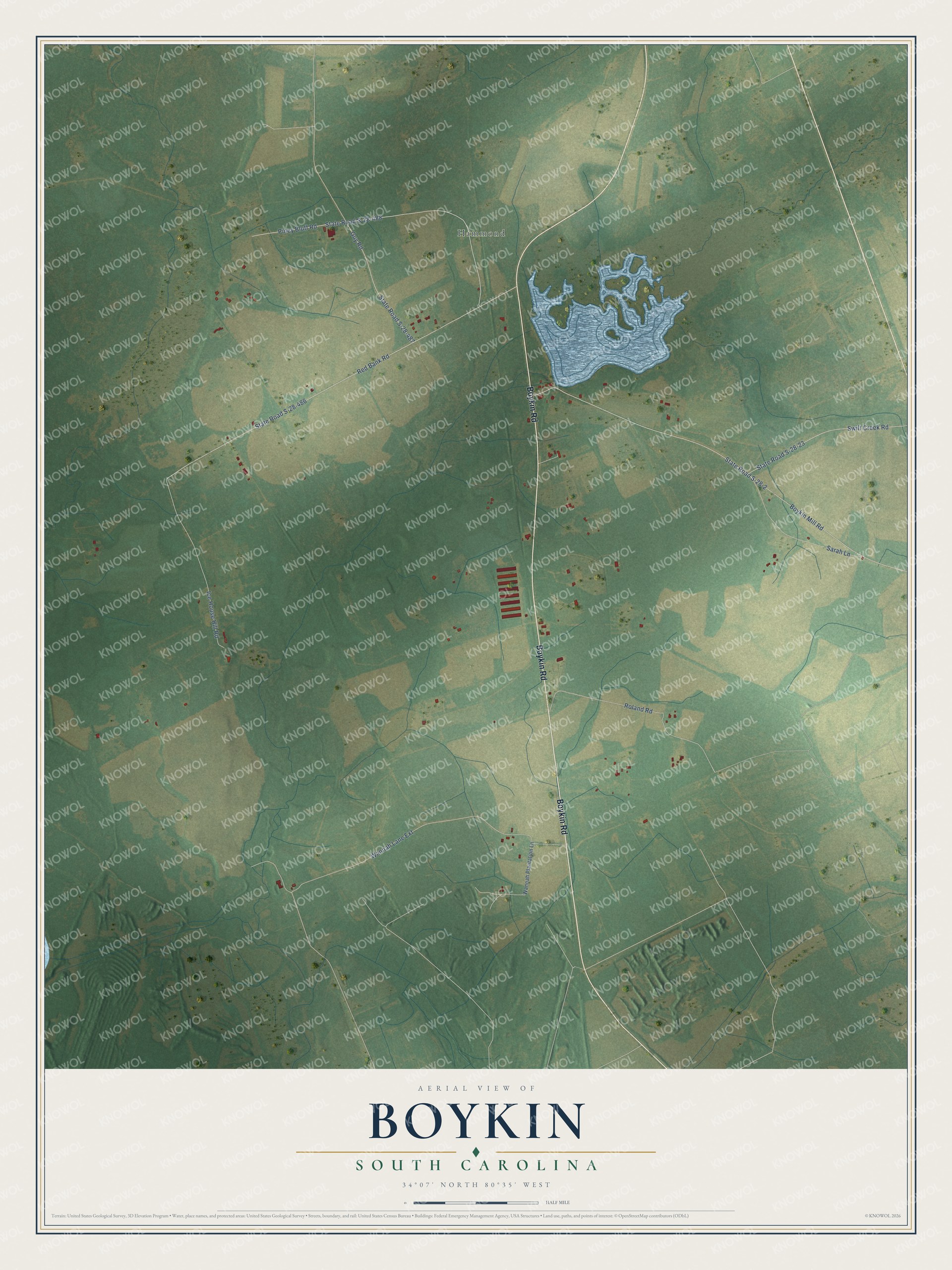
This beautifully detailed map of Boykin, South Carolina was created in 2026 using aerial imagery combined with modern topographical, census, street and landmark data. It's a modern aerial view of Boykin in Kershaw County, South Carolina, that combines modern data with a vintage aesthetic. The roads feature printed names, and if you look closely you can find your exact house accurately shown in its correct location.
Explore an aerial view of Boykin, South Carolina
On this map you'll find Hammond, Boykin Road, Boykin Mill Road, State Road S-28-2, Red Bank Road, State Road S-28-486, Piney Bluff Road, State Road S-28-488, Wannah Lane Extension, Ice House Hill Road, Roland Road, State Road S-28-23, and more. Each red shape is a building, so zoom in on the preview and look for yours.
Every town has a first chapter, and Boykin is no exception. The Boykin spaniel was developed by Whit Boykin, a planter and well-known sportsman of the Boykin community just outside Camden. He and his kinsmen the Canteys bred a small retriever compact enough for the boats they took hunting ducks and wild turkeys in the Wateree River Swamp. The breed began with a little stray called Dumpy, which a Spartanburg banker sent to his hunting partner Whit Boykin. That's from the Boykin Spaniel Society.
Boykin is a community in Kershaw County. The Census Bureau counted 88 people here in 2020.
Take a closer look at the Boykin map
Names on this map
These names are printed on this map.
Places: Hammond.
Streets and roads: Boykin Road, Boykin Mill Road, State Road S-28-2, Red Bank Road, State Road S-28-486, Piney Bluff Road, State Road S-28-488, Wannah Lane Extension, Ice House Hill Road, Roland Road, State Road S-28-23, Swift Creek Road.
More street names, A to Z
Guy Road, Sarah Lane, State Road S-28-487, Wannah Plantation Lane.
See it on a wall
The Boykin map as a framed print. Swipe for more.


Created by KNOWOL in 2026. The buildings are small red shapes, the roads carry their printed names, and shaded relief shows the shape of the land. The title panel reads "AERIAL VIEW OF BOYKIN, SOUTH CAROLINA" with 34°07' NORTH 80°35' WEST.
Hang it in the hallway, the office or the cabin, or give it to someone who left Boykin and still calls it home. Open the preview and look for a street you know. See sizes and frames for the Boykin map.