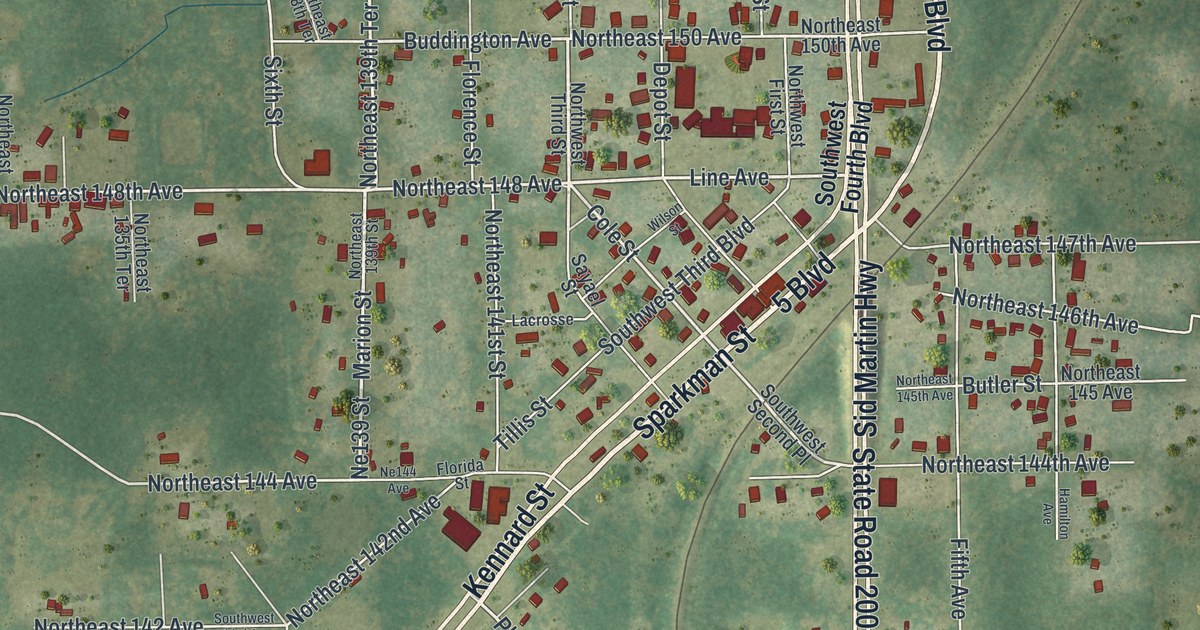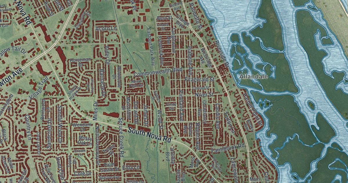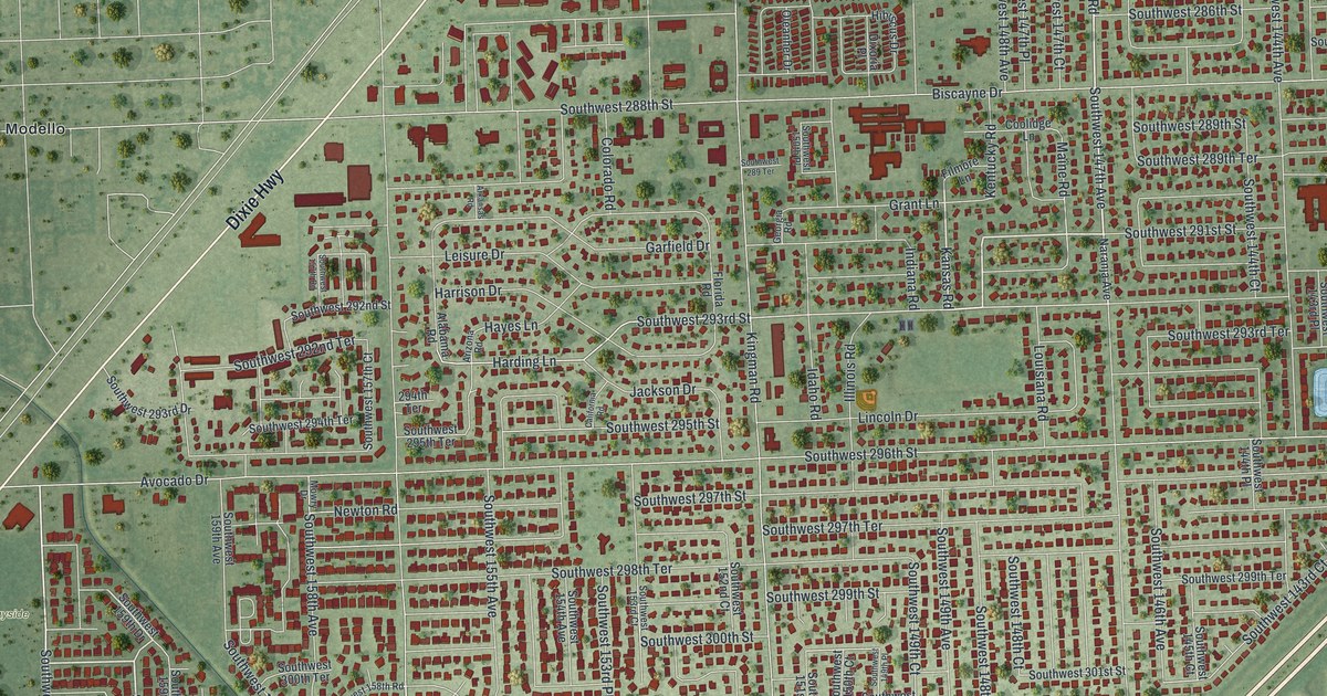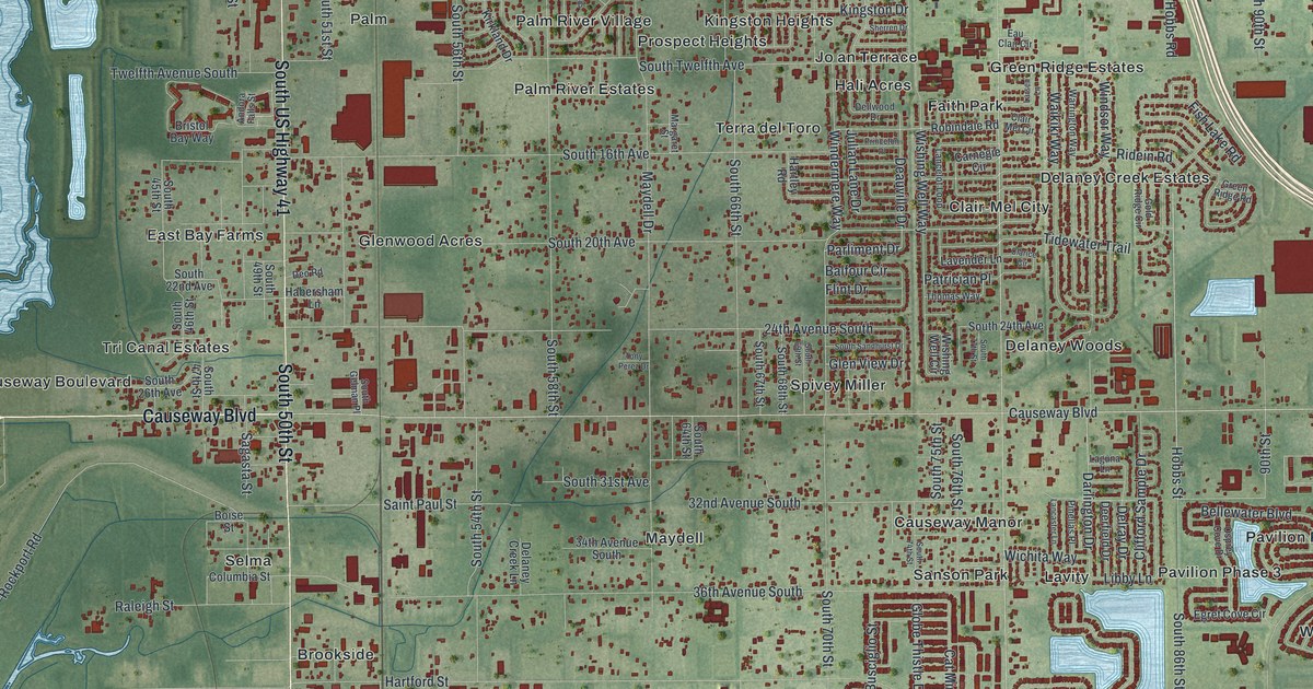
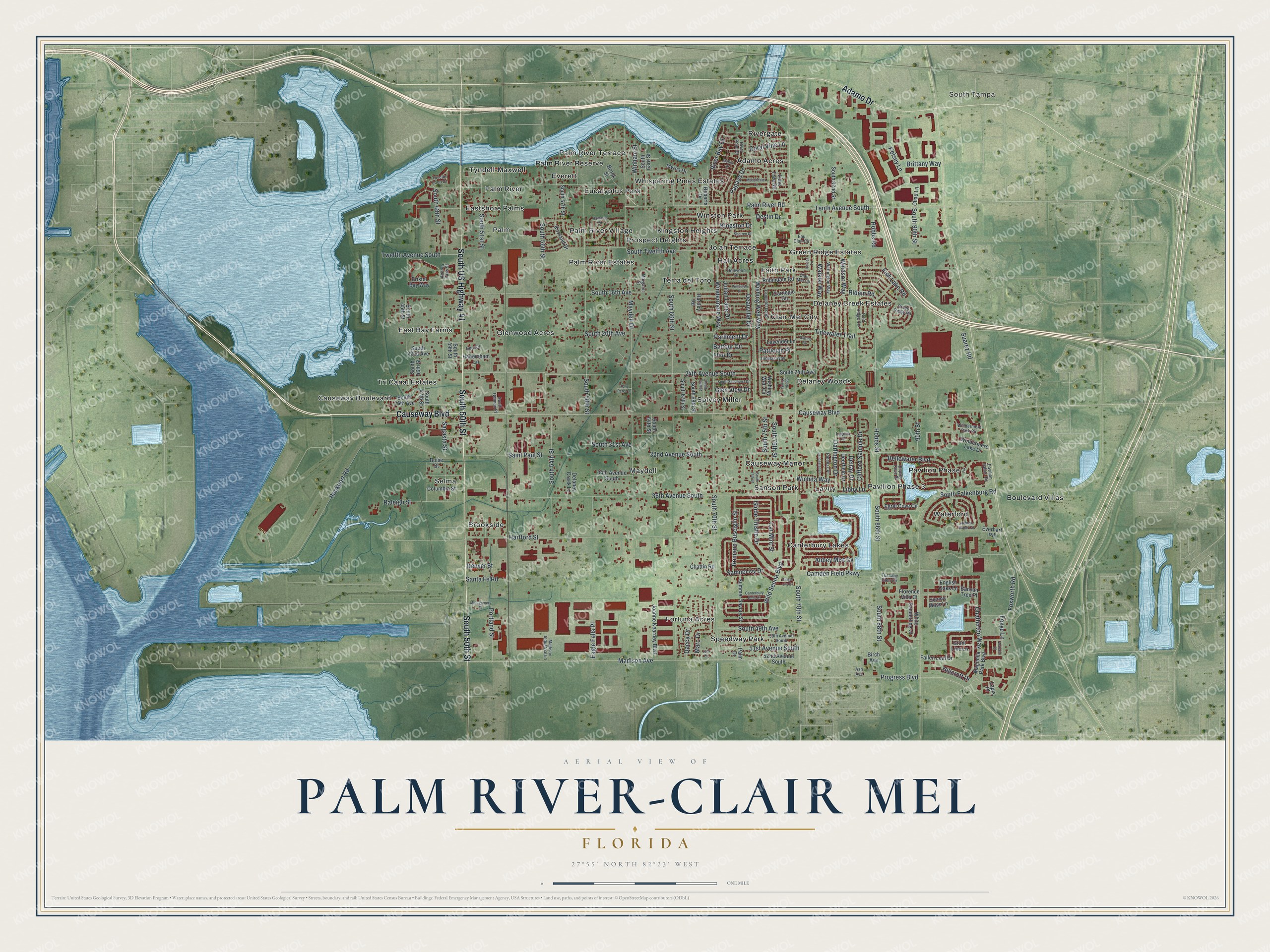
This beautifully detailed map of Palm River-Clair Mel, Florida was created in 2026 using aerial imagery combined with modern topographical, census, street and landmark data. It's a modern aerial view of Palm River-Clair Mel in Hillsborough County, Florida, that combines modern data with a vintage aesthetic. The roads feature printed names, and if you look closely you can find your exact house accurately shown in its correct location.
Explore an aerial view of Palm River-Clair Mel, Florida
On this map you'll find South Tampa, Brookside, Waterford, Tyndell-Maxwell, Faith Park, East Bay Farms, Speedway Park, Spivey Miller, Rivergate, Canterbury Lakes, Maydell, Delaney Woods, and more. Each red shape is a building, so zoom in on the preview and look for yours.
Palm River-Clair Mel is a community in Hillsborough County. The Census Bureau counted 26,142 people here in 2020. Palm River-Clair Mel sits about 3 miles north of Progress Village, 5 miles west of Brandon and 6 miles south of East Lake-Orient Park. The map prints the town name in its title panel, with the coordinates below it.
Take a closer look at the Palm River-Clair Mel map
Names on this map
These names are printed on this map.
Places: South Tampa, Brookside, Waterford, Tyndell-Maxwell, Faith Park, East Bay Farms, Speedway Park, Spivey Miller, Rivergate, Canterbury Lakes, Maydell, Delaney Woods, Delaney Creek Estates, Palm River Terrace, Palm River Estates, Causeway Boulevard, Kingston Heights, Lavity, Palm, Terra del Toro, Whispering Pines Estates, Boulevard Villas, Glenwood Acres, Clair-Mel City, Pavilion Phase 2, Selma, Pavilion Phase 3, Causeway Manor, Fortuna Acres, Eucalyptus Park, Winston Park, Palm River Village, Prospect Heights, Hali Acres, Everett, Adamo Acres, Green Ridge Estates, Palm River Reserve, Eastshore Palms, Tri Canal Estates, Palm River, Jo an Terrace and Sanson Park.
Streets and roads: South 50th Street, South US Highway 41, Adamo Drive, Tidewater Trail, Chatterton Way, 90th Street, 32nd Avenue South, Libby Lane, Hobbs Street, Deauville Drive, Palm River Road, Progress Boulevard.
More street names, A to Z
24th Avenue South, 34th Avenue South, 36th Avenue South, 50th Avenue South, 51st Avenue South, 52nd Avenue South, Abbey Mist Cv, Andora Falls Street, Ash Avenue, Balfour Circle, Banyan Tree Place, Bellewater Boulevard, Birch Avenue, Boise Street, Bristol Bay Way, Brittany Way, Brook Street, Camden Field Parkway, Canterbury Bells Court, Carnegie Circle, Cat Mint Street, Chad Lane, Chattin Road, Clair Mel Circle, Clarice Circle, Clifford Sample Drive, Columbia Street, Coral Vine Lane, Dacca Drive, Darlington Drive, Deerfield Drive, Delaney Creek Lane, Dellwood Drive, Delray Drive, Denver Street, Deo Road, Destin Drive, Eagle Falls Place, Eau Clair Circle, Egret Cove Circle, English Oaks Lane, Everhart Road, Fallen Leaf Drive, Fish Lake Road, Flint Drive, Florence Villa Court, Foxworth Road, Foxye Lane, Ginger Lily Court, Glen View Drive, Globe Thistle Drive, Gold Ridge Circle, Grant Line Lane, Green Ridge Road, Habersham Lane, Hammon Drive, Hartford Street, Hartley Road, Hidden Water Circle, Hillcroft Drive, Hobbs Road, Joanne Kearney Boulevard, Julian Lane Drive, Kelsey Lane, Kingston Drive, Kirkland Drive, Laguna Lane, Lancaster Lane, Lancelot Loop, Lapis Place, Larsen Lane, Lavender Lane, Leto Drive, Lime Tree Road, Madison Avenue, Madison Industrial Lane, Magnolia Park Boulevard, Manchester Lane, Marc Drive, Margaret Street, Marine Drive, Maydell Drive, Montgomery Street, Myrna Drive, Osprey Cove Drive, Palm Drive, Papaya Drive, Parliment Drive, Patrician Place, Pavilion Palms Circle, Pinellas Place, Portland Street, Princeton Place, Raleigh Street, Ridein Road, River Bay Drive, River Point Drive, Roberts Drive, Robindale Road, Rockport Road, Romano Busciglio Street, Sagasta Street, Saint Paul Street, Samuel Ivy Drive, Santa Fe Road, Sherren Drive, Sienna Moss Lane, South 16th Avenue, South 20th Avenue, South 22nd Avenue, South 24th Avenue, South 26th Avenue, South 31st Avenue, South 45th Street, South 46th Street, South 47th Street, South 48th Street, South 49th Avenue, South 49th Street, South 51st Street, South 54th Street, South 56th Street, South 57th Street, South 58th Street, South 63rd Street, South 64th Street, South 66th Street, South 67th Street, South 68th Street, South 69th Street, South 70th Street, South 74th Street, South 75th Street, South 76th Street, South 77th Street, South 78th Street, South 82nd Street, South 86th Street, South 88th Street, South 90th Street, South Falkenburg Road, South Gelman Place, South Sandhurst Drive, South Twelfth Avenue, Suarez Road, Summer Savory Street, Tenth Avenue South, Thomas Way, Tony Perez Drive, Tuscan Loon Drive, Tuscany Glen Circle, Twelfth Avenue South, Wabash Place, Waikiki Way, Warrington Way, White Sanderling Court, Wichita Way, Wild Senna Boulevard, Windermere Lake Drive, Windermere Park Circle, Windermere Way, Windsor Way, Winham Street, Wishing Well Circle, Wishing Well Way.
See it on a wall
The Palm River-Clair Mel map as a framed print. Swipe for more.


Created by KNOWOL in 2026. The buildings are small red shapes, the roads carry their printed names, and shaded relief shows the shape of the land. The title panel reads "AERIAL VIEW OF PALM RIVER-CLAIR MEL, FLORIDA" with 27°55' NORTH 82°23' WEST.
It suits a den, a classroom or a front hall, and it makes a gift for anyone with Palm River-Clair Mel roots. Open the preview and find the block you know. See sizes and frames for the Palm River-Clair Mel map.