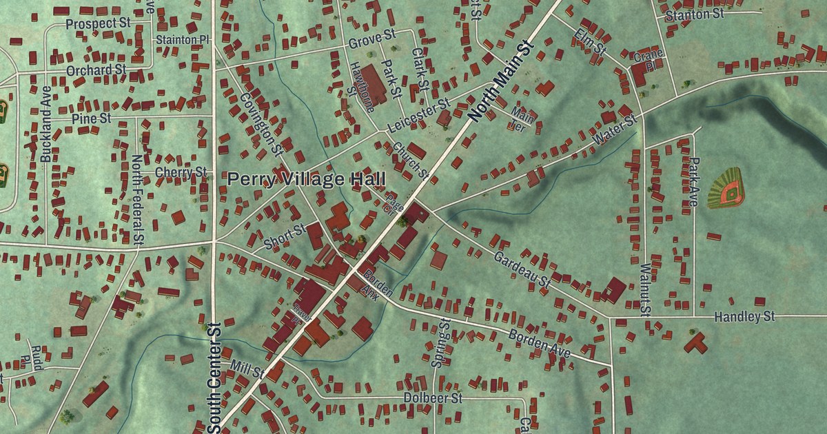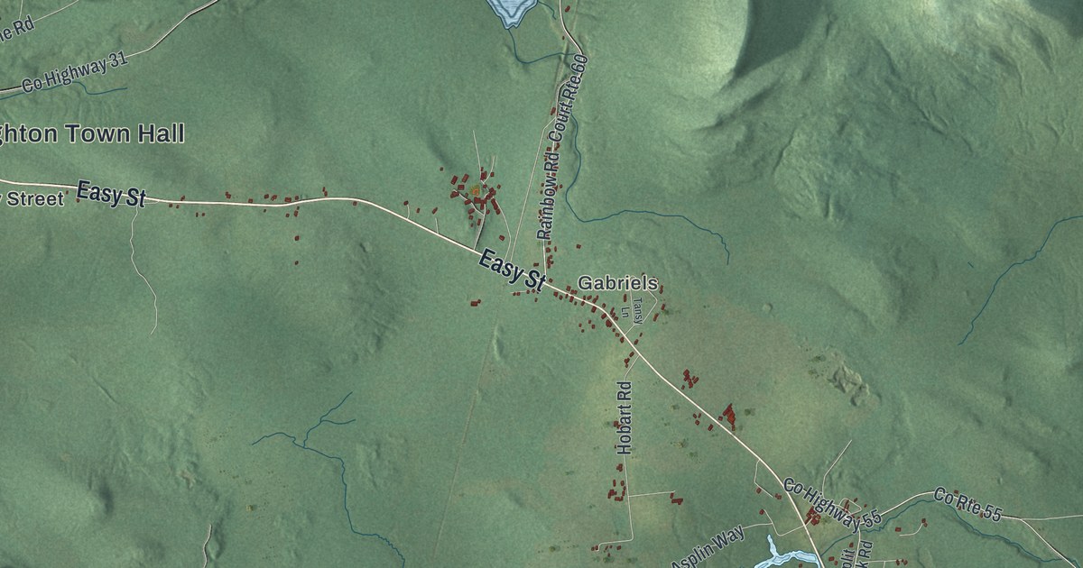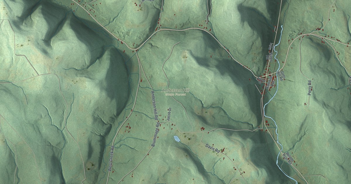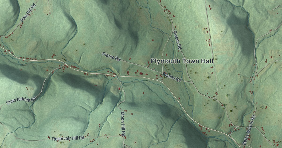
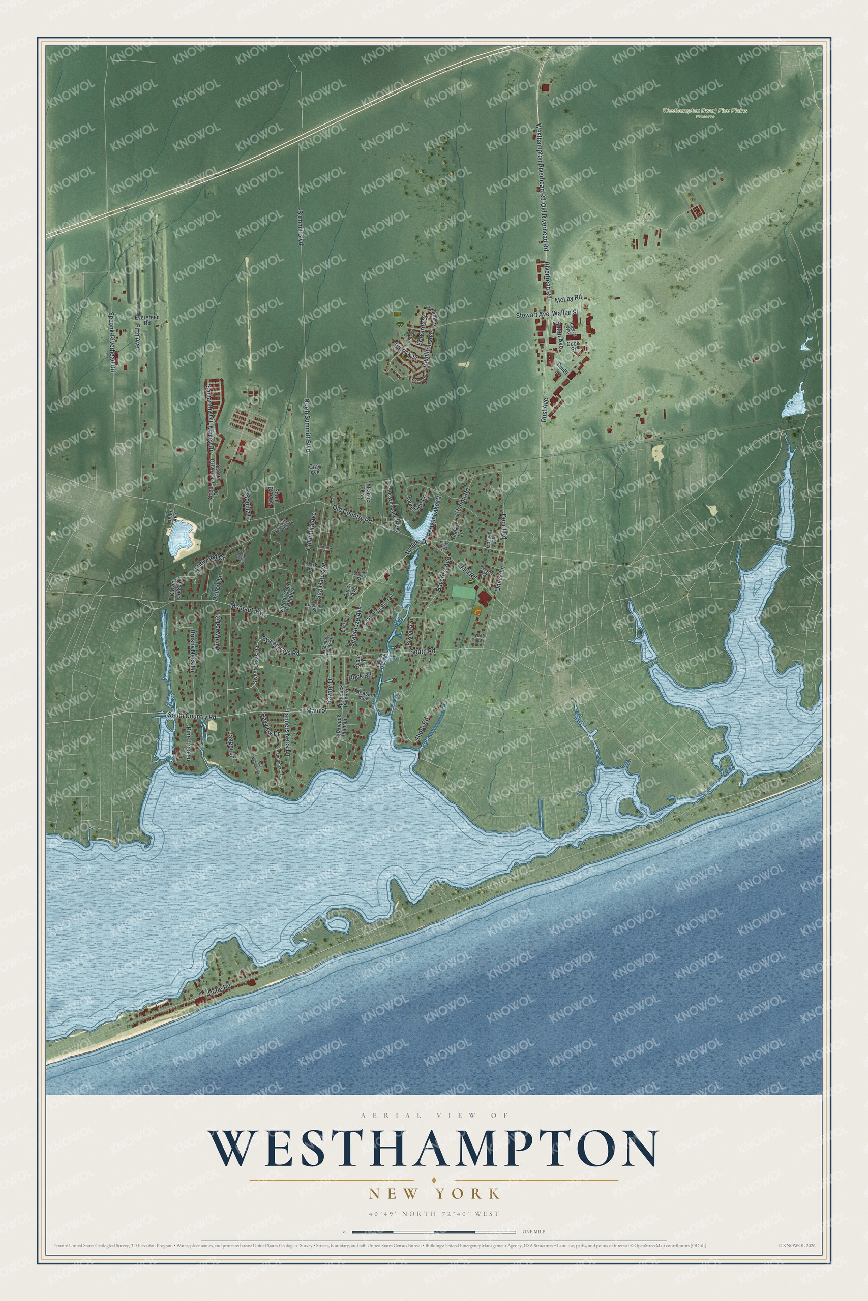
This beautifully detailed map of Westhampton, New York was created in 2026 using aerial imagery combined with modern topographical, census, street and landmark data. It's a modern aerial view of Westhampton in Suffolk County, New York, that combines modern data with a vintage aesthetic. The roads feature printed names, and if you look closely you can find your exact house accurately shown in its correct location.
Explore an aerial view of Westhampton, New York
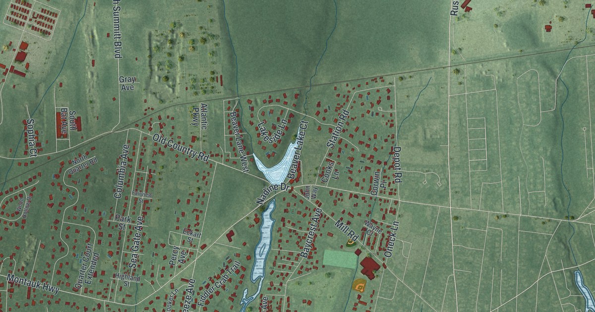
On this map you'll find Westhampton Dwarf Pine Plains Preserve, Old Riverhead Road, Riverhead Road, Dune Road, Sweetgrass Road, Hamilton Avenue, Jagger Lane, South Road, Westhampton Riverhead Road, Montauk Highway, Summit Boulevard, Old Country Road, and more. Each red shape is a building, so zoom in on the preview and look for yours.
Every town has a first chapter, and Westhampton is no exception. Beaverdam had the best claim to be the old local name of Westhampton, and the first mill and the first church in the western part of Southampton town were built there. In 1746 the town gave Abigail Howell, widow of John Howell Jr., the use of the Beaverdam stream for a mill, and the mill was standing by 1748. The burying ground at Beaverdam is the oldest in the western part of the town, and in 1866 Westhampton raised a brown stone monument there by public subscription to its soldiers who fell in the Civil War. That's from the History of Suffolk County.
Westhampton is a community in Suffolk County. The Census Bureau counted 3,621 people here in 2020.
Take a closer look at the Westhampton map
Names on this map
These names are printed on this map.
Places: Westhampton Dwarf Pine Plains Preserve.
Streets and roads: Old Riverhead Road, Riverhead Road, Dune Road, Sweetgrass Road, Hamilton Avenue, Jagger Lane, South Road, Westhampton Riverhead Road, Montauk Highway, Summit Boulevard, Old Country Road, Fifth Avenue.
More street names, A to Z
Apaucuck Point Lane, Apaucuck Point Road, Ashley Drive, Atlantic Parkway, Baycrest Avenue, Bay Meadow Lane, Bayview Drive, Beaver Dam Road, Beaver Lake Court, Beaver Lane West, Bishop Avenue, Bolling Street, Booker Lane, Brushy Neck Lane, Cedar Lane, Clover Grass Court, Columbia Avenue, Cooks Lane, Cook Street, Corwin Place, Country Estates Road, Depot Road, Dock Road, Eckart Street, Edwards Street, Ent Avenue, Evergreen Road, Fairview Street, Fiddler Crab Trail, Gray Avenue, Helen Avenue, Highland Street, Hollow Lane, John Way, Lakeside Lane, Main Street, McCord Street, McLay Road, Mill Road, Nadine Drive, North Quarter Road, North Summitt Boulevard, Oneck Lane, Park Street, Patrick Street, Percy Avenue, Pine Tree Lane, Pleasant Avenue, Quarter Court Extended, Raynor Drive, Roger's Way, Rust Avenue, Samantha Circle, Sandpiper Court, Scott Drive, Scott Drive East, Seabreeze Avenue, Sea Gate Avenue, Shore Road, Smith Avenue, Smith Lane, Sophia Court, South Bat Avenue, South Country Road, Speonk-Riverhead Road, Station Road, Stewart Avenue, Sweet Grass Road, Tanners Neck Lane, Wallen Street, Wayne Court, White Oak Lane, Willowood Court, Windwood Court, Wood Hollow Drive.
See it on a wall
The Westhampton map as a framed print. Swipe for more.


Created by KNOWOL in 2026. The buildings are small red shapes, the roads carry their printed names, and shaded relief shows the shape of the land. The title panel reads "AERIAL VIEW OF WESTHAMPTON, NEW YORK" with 40°49' NORTH 72°40' WEST.
Hang it in the hallway, the office or the cabin, or give it to someone who left Westhampton and still calls it home. Open the preview and look for a street you know. See sizes and frames for the Westhampton map.