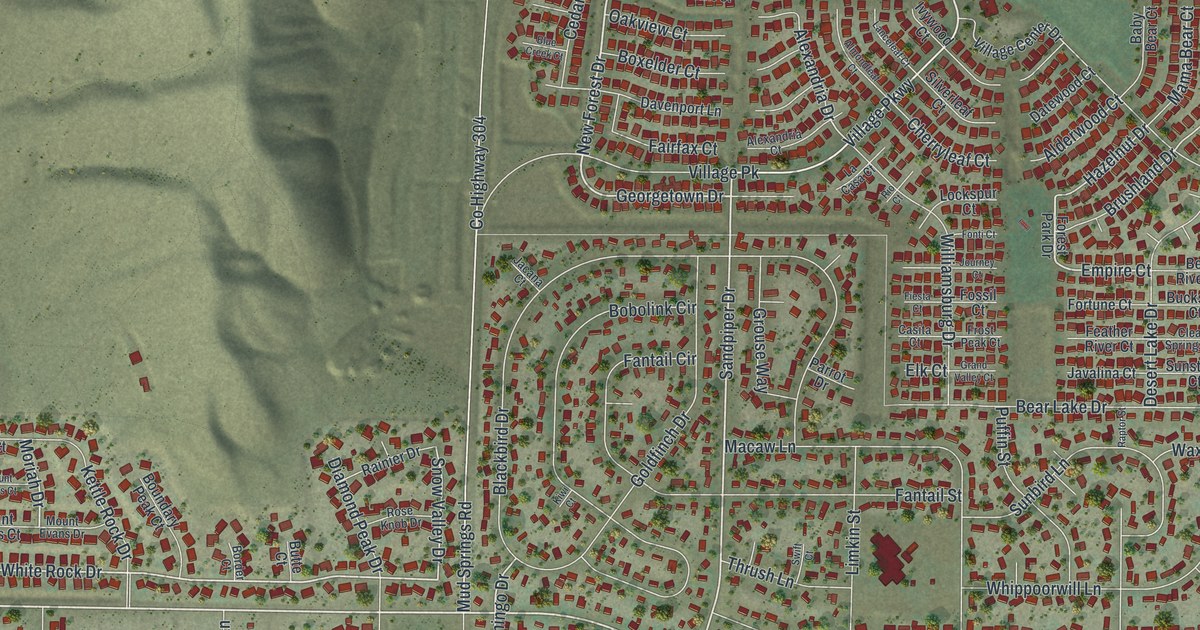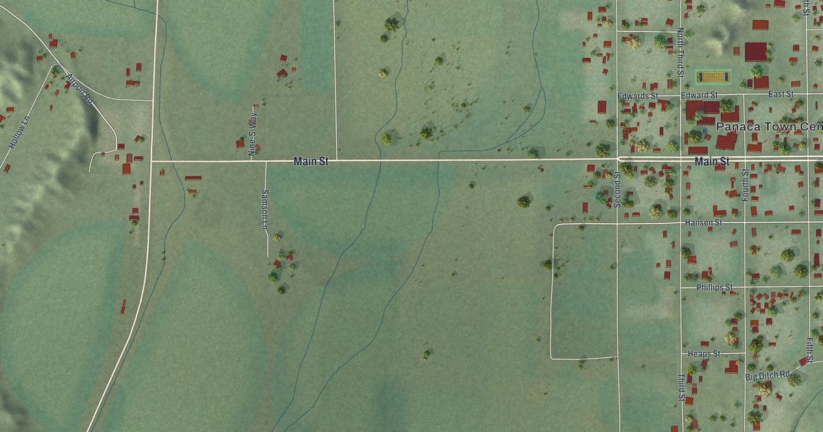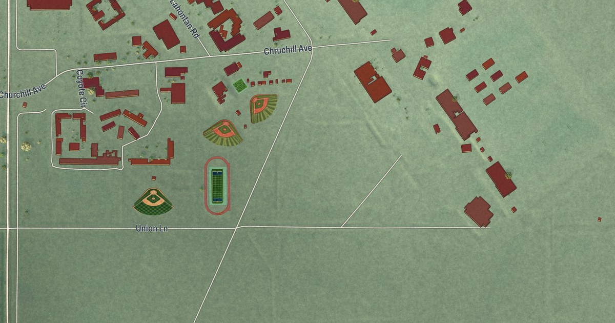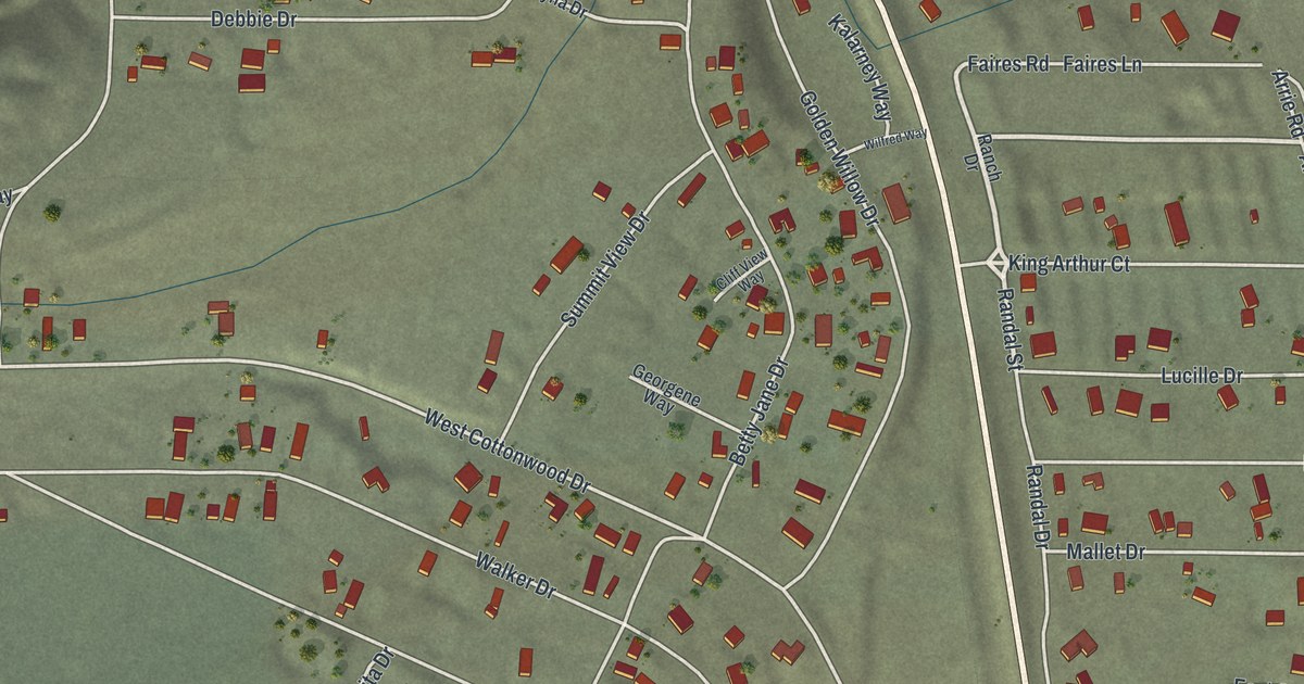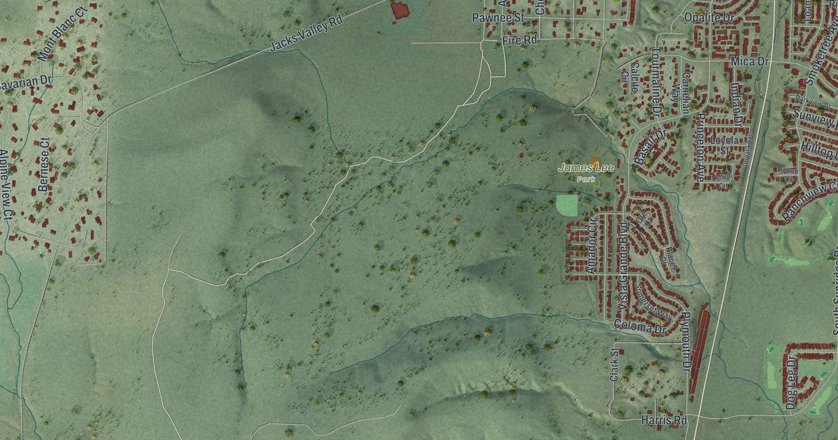
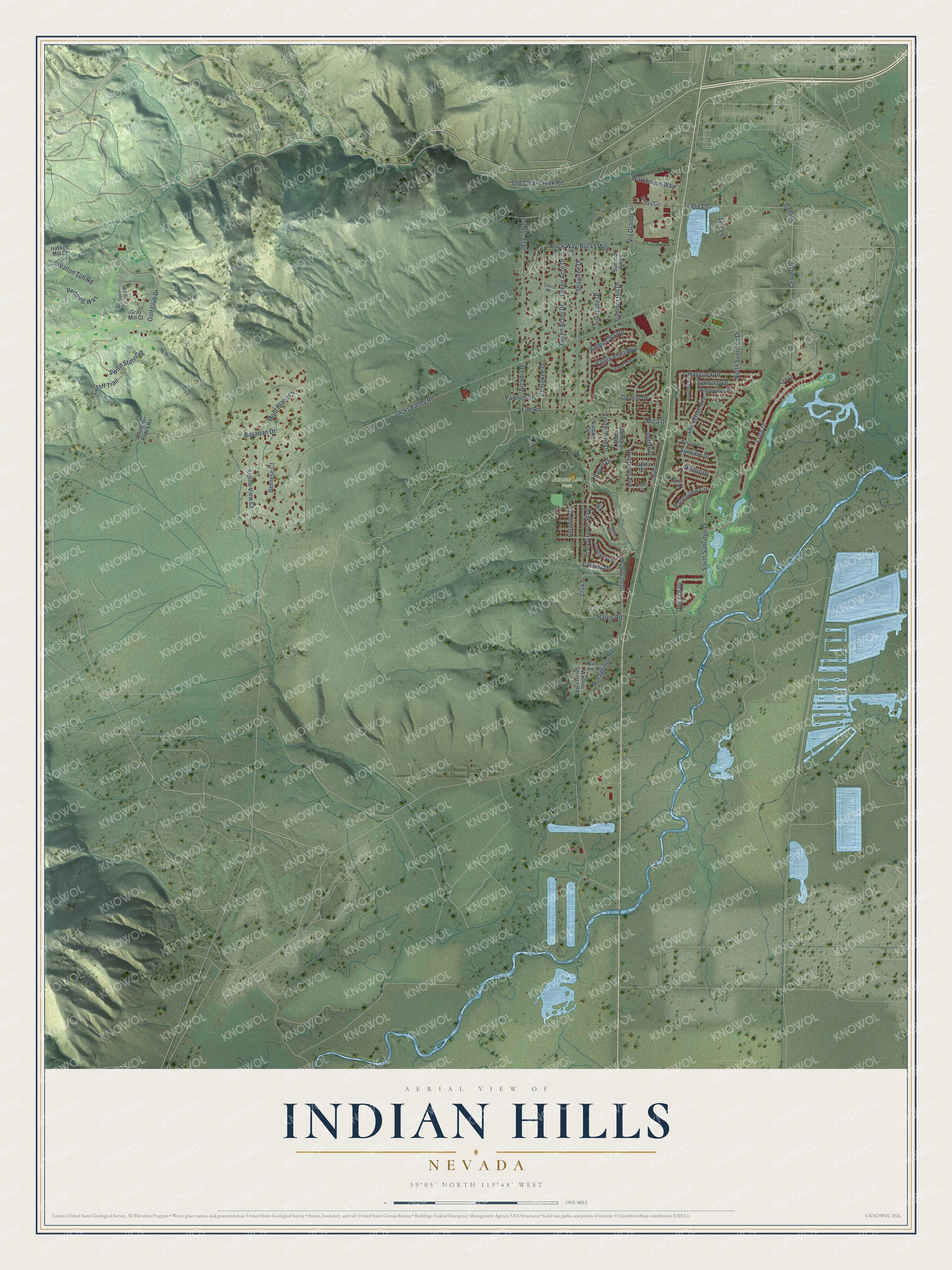
This beautifully detailed map of Indian Hills, Nevada was created in 2026 using aerial imagery combined with modern topographical, census, street and landmark data. It's a modern aerial view of Indian Hills in Douglas County, Nevada, that combines modern data with a vintage aesthetic. The roads feature printed names, and if you look closely you can find your exact house accurately shown in its correct location.
Explore an aerial view of Indian Hills, Nevada
On this map you'll find James Lee Park, Fire Road, Jacks Valley Road, Old Clear Creek Road, South Sunridge Drive, Opalite Drive, Harris Road, Sunview Drive, Bucks Way, Buck Way, Center, Vista Grande Boulevard, and more. Each red shape is a building, so zoom in on the preview and look for yours.
Here is a piece of Indian Hills history. The Indian Hills General Improvement District was created on June 5, 1973, after Douglas County ruled that new subdivisions there could go ahead only if a district built a regional sewer and water system. The district covered about 540 acres. The first trustees met that September. The district won a water allocation of 219 million gallons a year, then enough for about 1,000 homes. That's from the Indian Hills General Improvement District.
Indian Hills is a community in Douglas County. The Census Bureau counted 5,962 people here in 2020.
Take a closer look at the Indian Hills map
Names on this map
These names are printed on this map.
Places: James Lee Park.
Streets and roads: Fire Road, Jacks Valley Road, Old Clear Creek Road, South Sunridge Drive, Opalite Drive, Harris Road, Sunview Drive, Bucks Way, Buck Way, Center, Vista Grande Boulevard, Golf Club Drive.
More street names, A to Z
Alpine View Court, Amador Circle, Arcadia Drive, Basalt Drive, Bavarian Drive, Bernese Court, Calcite Circle, Carnelian Way, Center Drive, Cherokee Drive, Cindys Trail, Clark Street, Coloma Drive, Cutoff Trail, Dog Leg Drive, Gray Mill Court, Green Acre Drive, Green Acres Drive, Gross Circle, Haskell Mill Court, Haystack Drive, Hilltop Drive, Hot Springs Road, Impala Avenue, Indian Drive, Lehigh Circle, Loam Lane, Long Drive, Loyola Street, Lyla Lane, Mica Drive, Mill Race Loop, Mont Blanc Court, North Sunridge Drive, Ore Court, Parkview Drive, Pawnee Street, Placer Court, Plymouth Drive, Powers Avenue, Princeton Avenue, Ranchview Circle, Redding Way, Ridgeview Drive, Schneider Ranch Road, Shawnee Drive, Sierra Place, Silverado Drive, Smoketree Avenue, Somerset Way, Summer Hill Drive, Summer Hill Lane, Sunburst Drive, Sunup Court, Swifts Station Drive, Tee Drive, Topsy Lane, Tourmaline Drive, Valley Crest Drive, Valley Vista Boulevard, Vis Grande Bl, Vista Park Drive, Walton Toll Road, Warehouse Way, Washoe Springs Road.
See it on a wall
The Indian Hills map as a framed print. Swipe for more.


Created by KNOWOL in 2026. The buildings are small red shapes, the roads carry their printed names, and shaded relief shows the shape of the land. The title panel reads "AERIAL VIEW OF INDIAN HILLS, NEVADA" with 39°05' NORTH 119°48' WEST.
It suits a den, a classroom or a front hall, and it makes a gift for anyone with Indian Hills roots. Open the preview and find the block you know. See sizes and frames for the Indian Hills map.