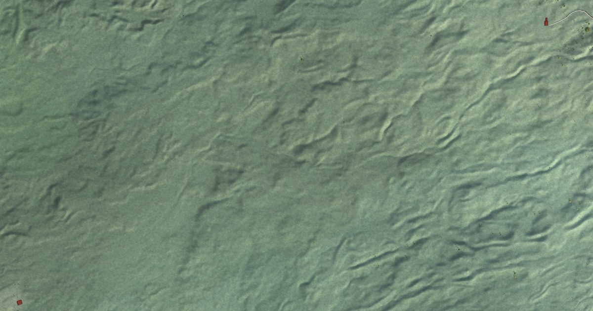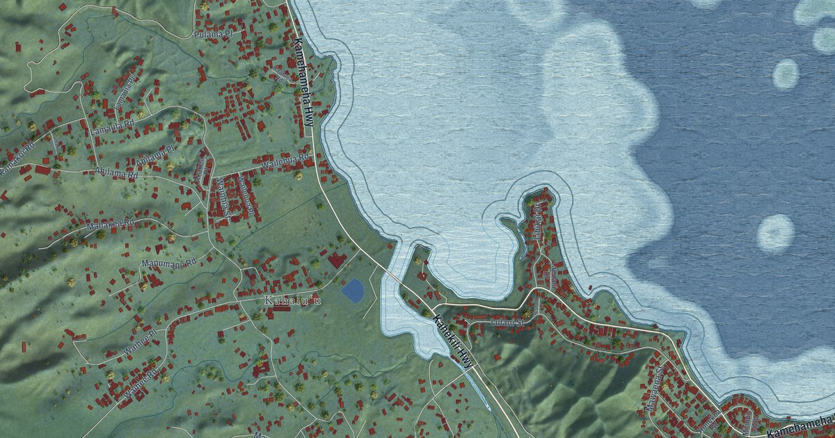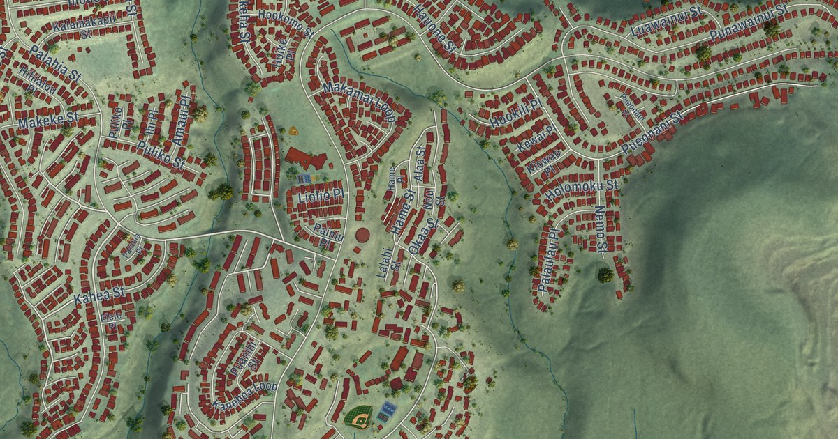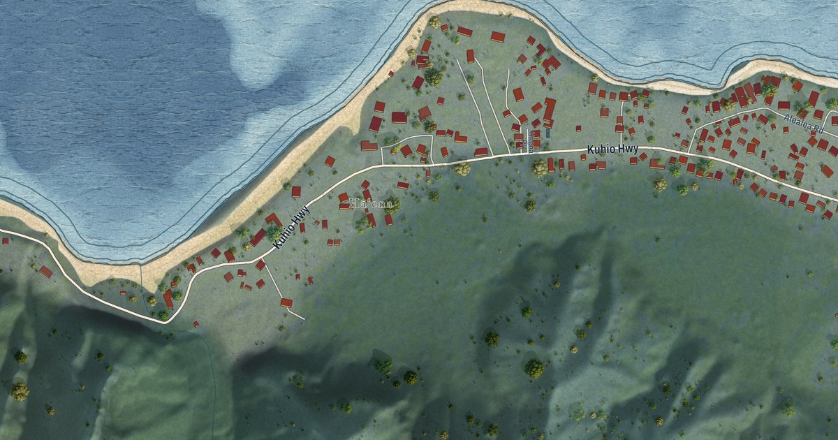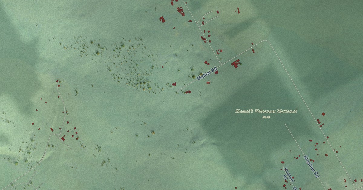
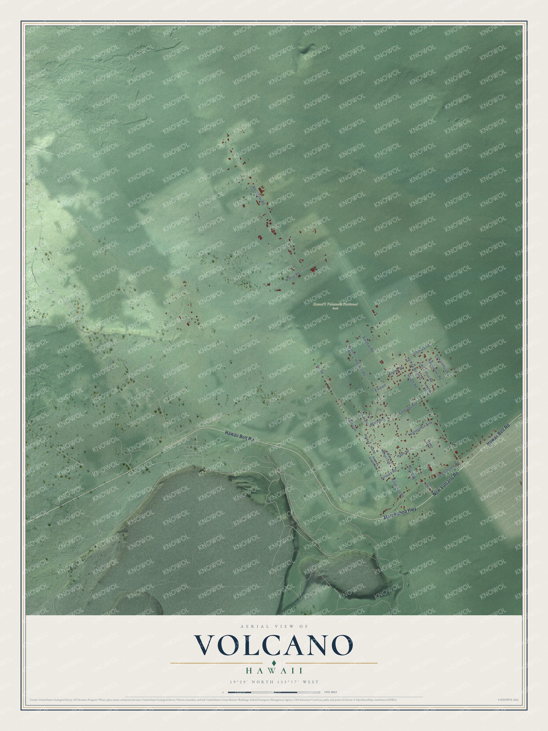
This beautifully detailed map of Volcano, Hawaii was created in 2026 using aerial imagery combined with modern topographical, census, street and landmark data. It's a modern aerial view of Volcano in Hawaii County, Hawaii, that combines modern data with a vintage aesthetic. The roads feature printed names, and if you look closely you can find your exact house accurately shown in its correct location.
Explore an aerial view of Volcano, Hawaii
On this map you'll find Hawaiʻi Volcanoes National Park, Hawaii Belt Road, New Volcano Road, Mamalahoa Highway, Wright Road, Iwi Road, Maile Avenue, Haile, Olapalapa, Kawailehua Road, Haunani Road, Amaumau Road, and more. Each red shape is a building, so zoom in on the preview and look for yours.
Volcano has a story worth telling. By 1914 about 35 Japanese families lived in Volcano Village, many of them farmers. In 1928 they opened a one-room Japanese language school on a lot given by Tsunesako Honma, and it doubled as a community center for weddings, dances and films. The Old Japanese School is one of only two one-room schoolhouses left in Hawaii. After Pearl Harbor its principal, Motoi Shiotani, and his wife were detained for the rest of the war. The school reopened in the 1950s. That's from the Big Island Now news site.
Volcano is a community in Hawaii County. The Census Bureau counted 736 people here in 2020.
Take a closer look at the Volcano map
Names on this map
These names are printed on this map.
Places: Hawaiʻi Volcanoes National Park.
Streets and roads: Hawaii Belt Road, New Volcano Road, Mamalahoa Highway, Wright Road, Iwi Road, Maile Avenue, Haile, Olapalapa, Kawailehua Road, Haunani Road, Amaumau Road, Old Volcano Road.
More street names, A to Z
Ainahau Road, Akakani, Alanui, Alanui Iwi, Anuhea, Anuhea Circle Road, Elepaio, Hale Ohia Road, Hapu Lane, Huanani Road, Kalani Honua Loop, Kalanikoa Road, Kalaninauli Road, Ke Koa Nui Boulevard, Kekoanui Street, Keonelehua Avenue, Kilauea Place, Kilauea Road, Kilinoe Street, Laukapu Avenue, Liko Lehua Road, Mahiai Road, Olomea Road.
See it on a wall
The Volcano map as a framed print. Swipe for more.


Created by KNOWOL in 2026. The buildings are small red shapes, the roads carry their printed names, and shaded relief shows the shape of the land. The title panel reads "AERIAL VIEW OF VOLCANO, HAWAII" with 19°29' NORTH 155°17' WEST.
It looks right in a kitchen, an office or a den, and it's a gift for anyone who grew up in Volcano or moved away. Open the preview and find your street. See sizes and frames for the Volcano map.