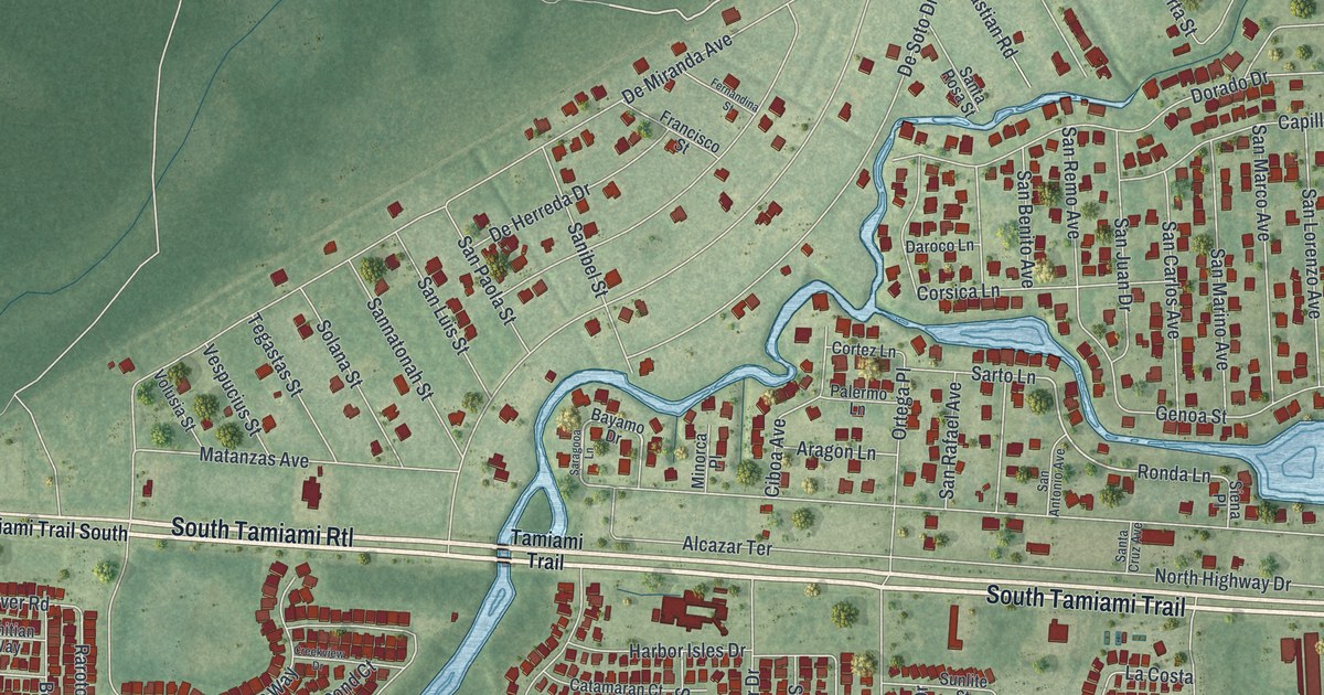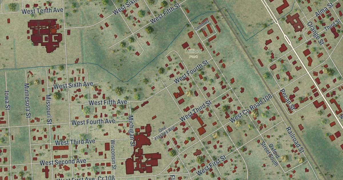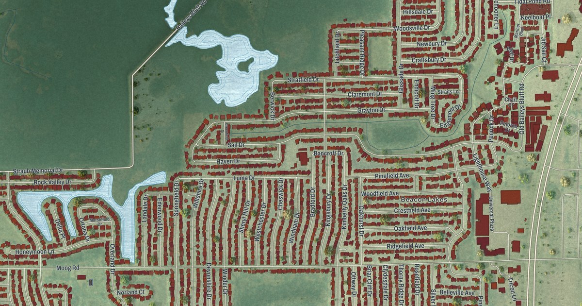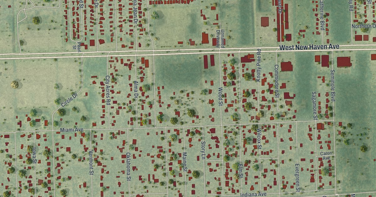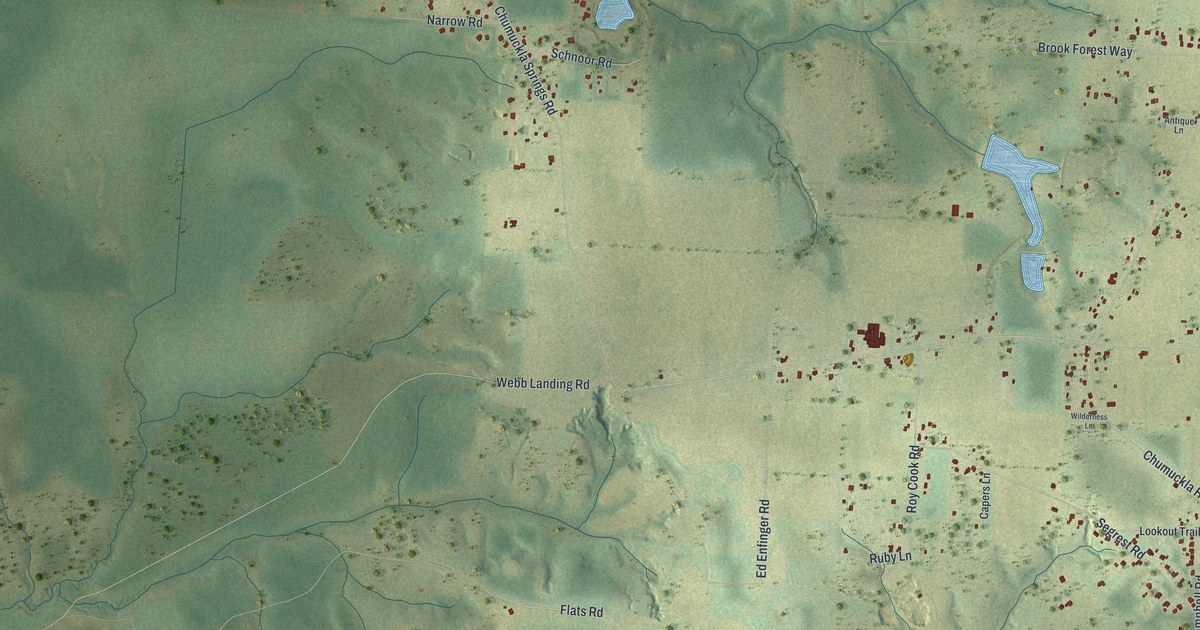
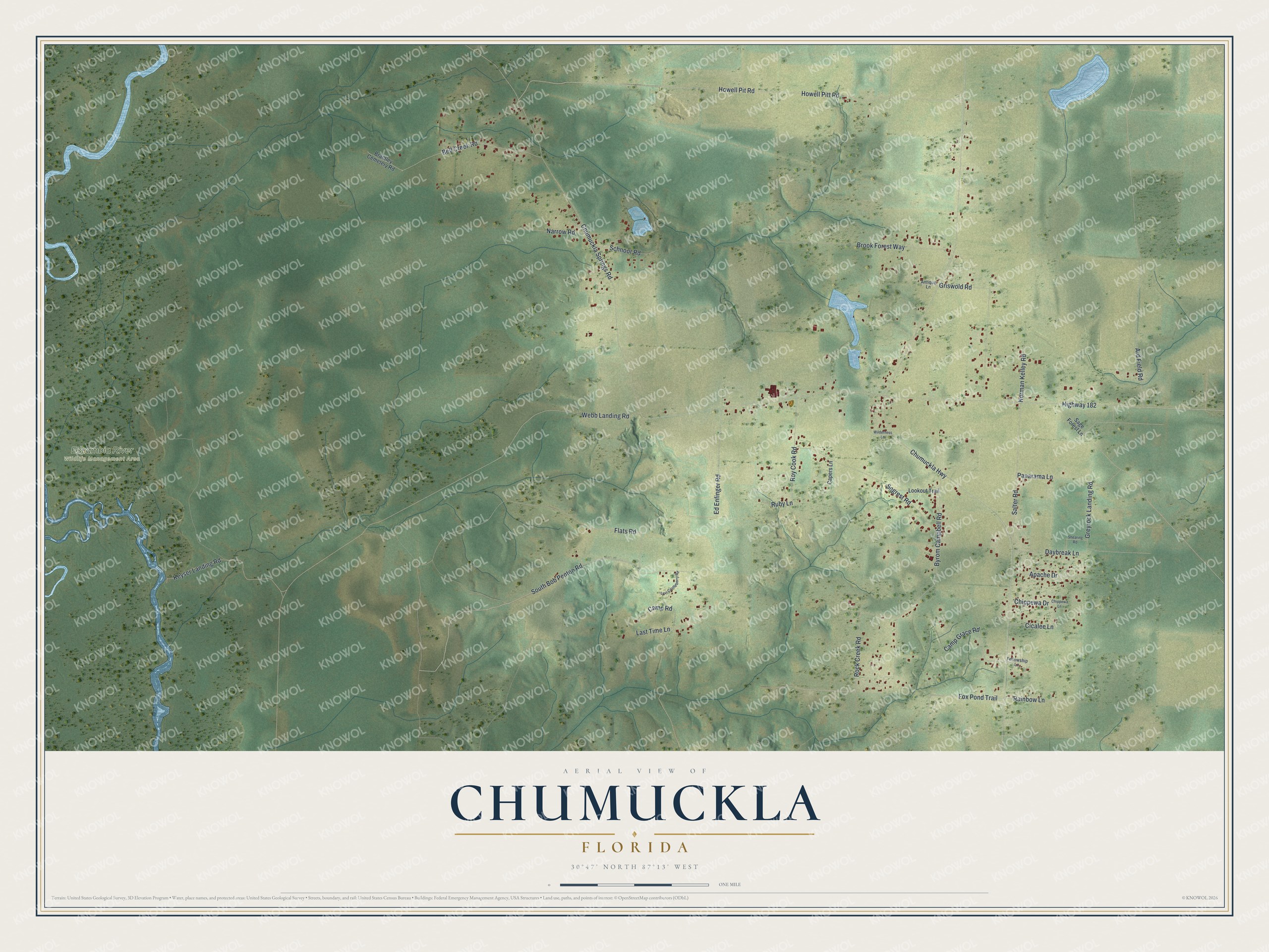
This beautifully detailed map of Chumuckla, Florida was created in 2026 using aerial imagery combined with modern topographical, census, street and landmark data. It’s a one-of-a-kind view of Chumuckla that combines accurate data with a vintage aesthetic. The map shows every building in its true location, many of the roads carry their names, and the shaded topographic relief shows the shape of the land.
Explore an aerial view of Chumuckla, Florida
On the map you’ll find Escambia River Wildlife Management Area, along with Flats Road, South Bob Penton Road, Salter Road, Fox Pond Trail, Chumuckla Highway, Highway 182, Howell Pit Road, Howell Pitt Road, Chumuckla Springs Road, Ard Field Road, Byrom Campbell Road, and more. If you look closely you can even find your house accurately drawn in its correct location. Zoom in on the preview to look for yours.
Did You Know?
Chumuckla was once called Chumuckla Springs, and the Federal Writers Project said the McDavid family settled it. The name may come from Hitchiti words meaning deer den or deer retreat, or from a Creek word meaning to bow the head to the ground. That's from the book Florida Place Names by Allen Morris.
Take a closer look at the Chumuckla map
Names on this map
These names are printed on this map.
Places: Escambia River Wildlife Management Area.
Streets and roads: Flats Road, South Bob Penton Road, Salter Road, Fox Pond Trail, Chumuckla Highway, Highway 182, Howell Pit Road, Howell Pitt Road, Chumuckla Springs Road, Ard Field Road, Byrom Campbell Road, Segrest Road.
More street names, A to Z
Antique Lane, Apache Drive, Bell Creek Road, Brantley Cemetery Road, Brook Forest Way, Camp Grace Road, Camp Road, Capers Lane, Chippewa Drive, Chippewa Lane, Cicalee Lane, Daybreak Lane, Ed Enfinger Road, Fellowship Lane, Greyrock Landing Road, Griswold Road, Keyser Landing Road, Last Time Lane, Levi Castleberry Road, Lookout Trail, Narrow Road, Norman Kelley Road, Panarama Lane, Rainbow Lane, Rock Creek Road, Roy Cook Road, Ruby Lane, Sage Forest Lane, Schnoor Road, Shearing Road, Webb Landing Road, Wilderness Lane.
See it on a wall
The Chumuckla map as a framed print. Swipe for more.


This beautifully detailed map of Chumuckla makes an attractive addition to your office, library, or den, and it can even be used to teach children the geography and history of the area. It also makes a great gift for anyone with Chumuckla roots. When you’re done exploring, click here to get your copy of the Chumuckla map.