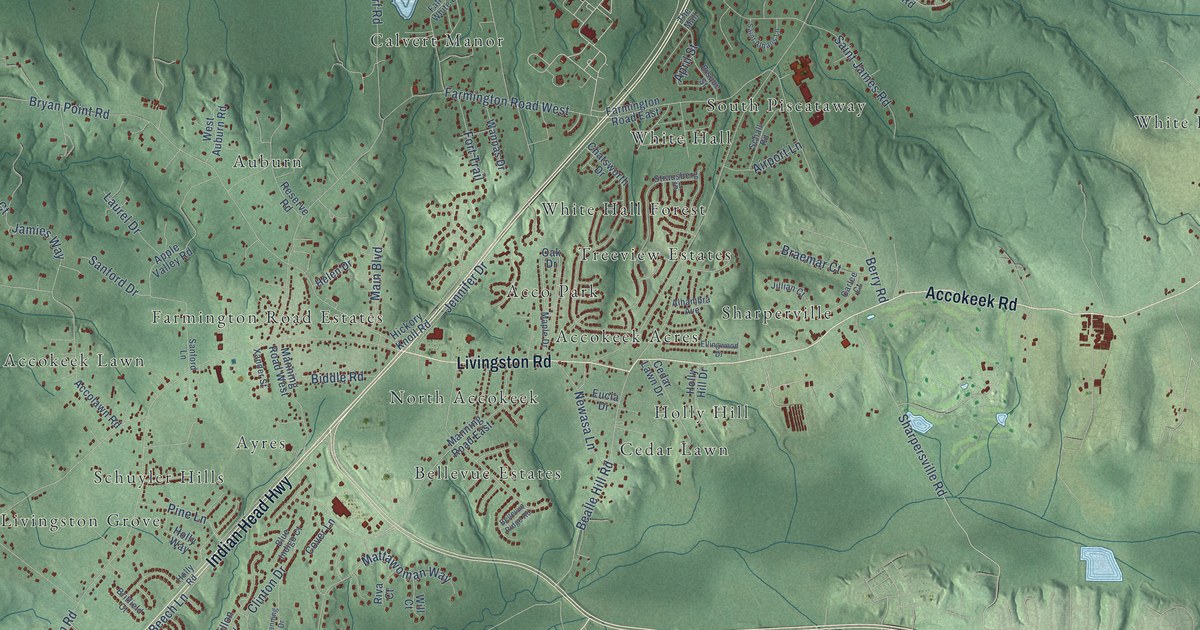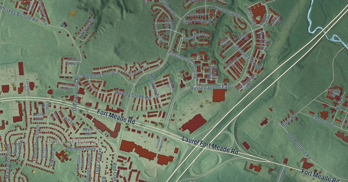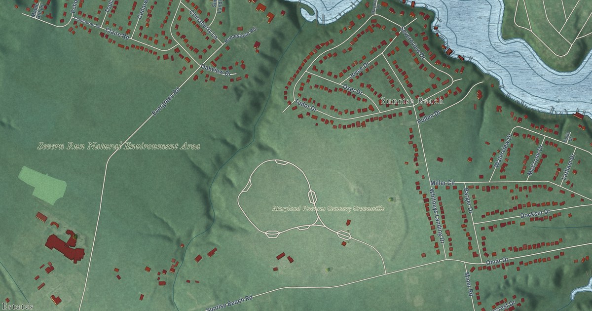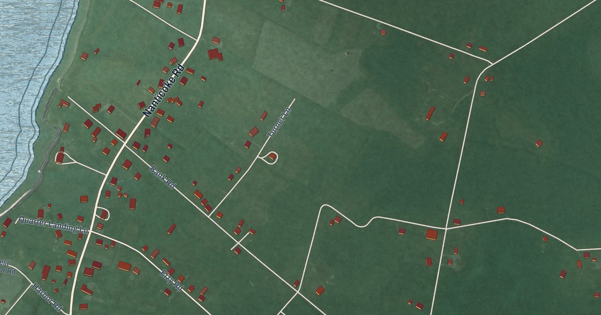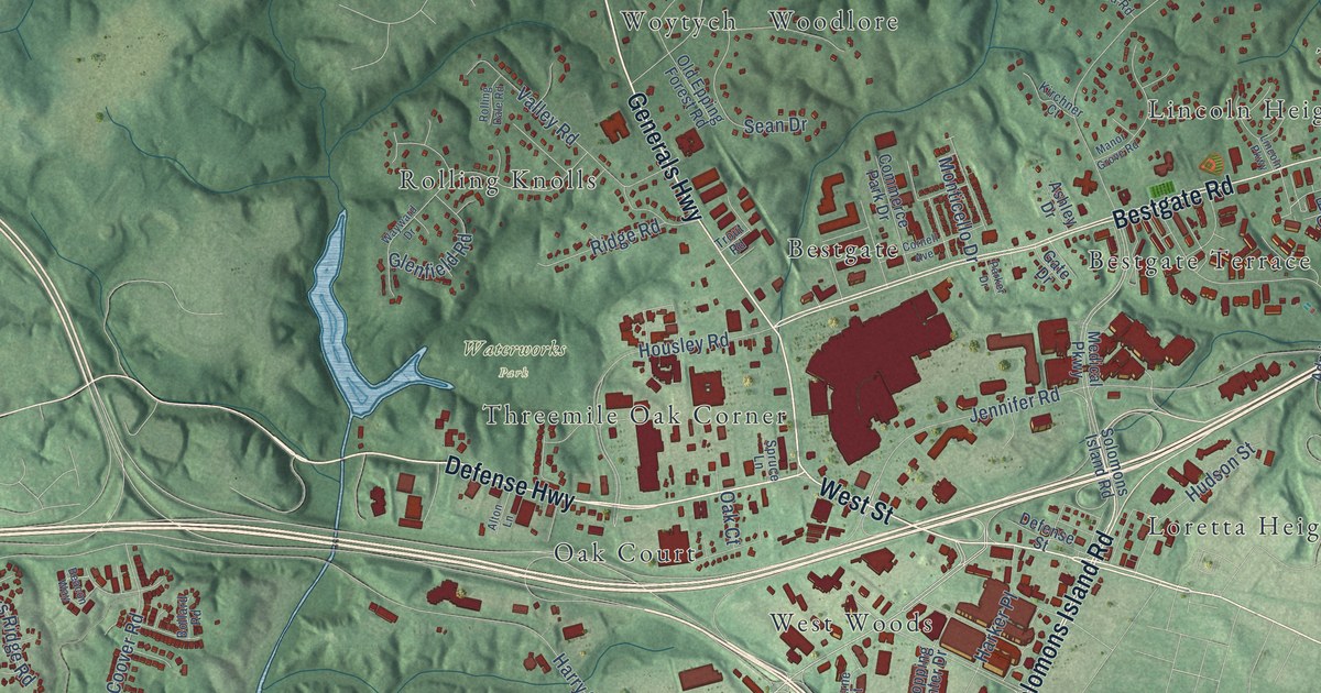
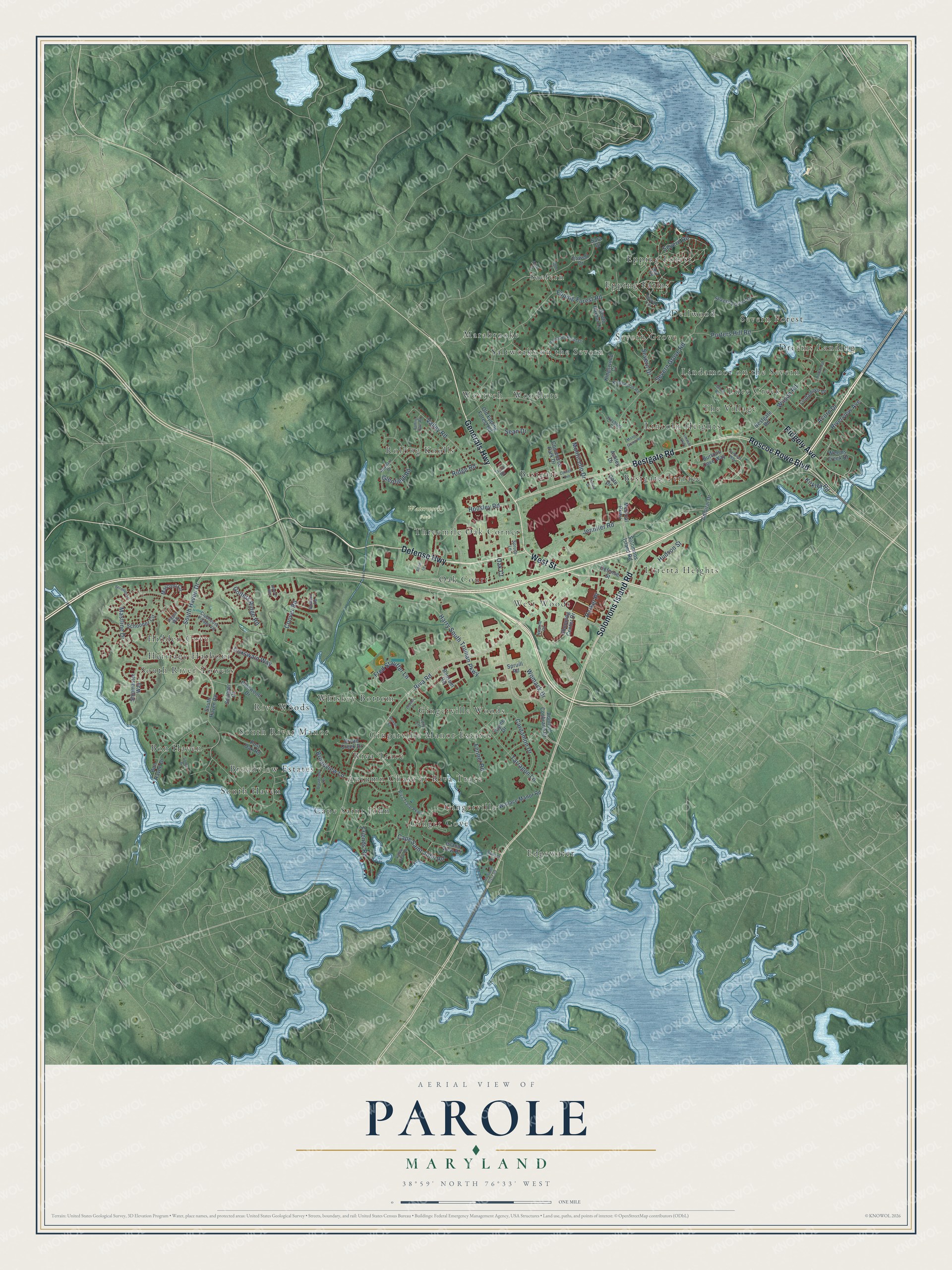
This beautifully detailed map of Parole, Maryland was created in 2026 using aerial imagery combined with modern topographical, census, street and landmark data. It's a modern aerial view of Parole in Anne Arundel County, Maryland, that combines modern data with a vintage aesthetic. The roads feature printed names, and if you look closely you can find your exact house accurately shown in its correct location.
Explore an aerial view of Parole, Maryland
On this map you'll find Waterworks Park, Dreams Landing, Bon Haven, Gingerville, Marabrooke, Loretta Heights, Severn Grove, Riva Woods, West Woods, Epping Forest, Bestgate Terrace, Cape Saint John, and more. Each red shape is a building, so zoom in on the preview and look for yours.
Parole has a story worth telling. Parole got its name in the Civil War. Union soldiers who had been captured and then paroled by the Confederates were sent to a camp at Parole, and the place came to be called Camp Parole. At one time the camp, counting wounded men, held close to 30,000. Earlier in the war General Burnside's brigade camped at Parole, and one of its regiments was made up of Frenchmen from New York in baggy red pantaloons and bright crimson fezzes. That's from the Federal Writers Project.
Parole is a community in Anne Arundel County. The Census Bureau counted 17,877 people here in 2020.
Take a closer look at the Parole map
Names on this map
These names are printed on this map.
Places: Waterworks Park, Dreams Landing, Bon Haven, Gingerville, Marabrooke, Loretta Heights, Severn Grove, Riva Woods, West Woods, Epping Forest, Bestgate Terrace, Cape Saint John, Lincoln Heights, Gingerville Manor Estates, Woytych, Threemile Oak Corner, Hidden Cove, Whiskey Bottom, Bestgate, Saefern, Rolling Knolls, Luce Creek, Autumn Chase at Riva Trace, Lindamoor on the Severn, Edgewater, South Haven, Dellwood, Saltworks on the Severn, Oak Court, Epping Farms, The Village, Gingerville Woods, South River Towers, Severn Forest, Riva Trace, Ginger Cove, Broadview Estates, Woodlore, Heritage Harbour and South River Manor.
Streets and roads: Defense Highway, Generals Highway, Bestgate Road, West Street, Solomons Island Road, Roscoe Rowe Boulevard, Ridgely Avenue, Riva Road, South Haven Drive, Epping Forest Road, Jennifer Road, Harry South Truman Parkway.
More street names, A to Z
Acorn Drive, Admiral Cochrane Drive, Admiral Drive, Alice Court, Alton Lane, Anne Court, Ashley Drive, Bausum Road, Beacon Way, Bermuda Lane, Bollard Road, Bon Haven Drive, Bowen Court, Broad Creek Drive, Broadview Lane, Broadview Terrace, Burtons Cove Way, Cape Saint John Road, Cardamon Drive, Clubhouse Village Vw, Commerce Park Drive, Coover Road, Cornell Avenue, Coxswain Way, Defense Street, Dubois Road, Fennel Road, Fred Stauffer Lane, Friends Road, Gate Drive, Glenfield Road, Golfers Ridge Road, Harker Place, Hearne Court, Housley Road, Hudson Street, Island View Road, Jigger Way, Judson Place, Kingswood Court, Kingswood Road, Kirchner Court, Kirkley Road, Lincoln Parkway, Lindamoor Drive, Lindamoor Lane, Lury Lane, Manor Grove Road, Marconi Circle, Mastline Drive, Medical Parkway, Monticello Drive, Old Epping Forest Road, Old South River Road, Parker Drive, Pinewood Drive, Point No Point Drive, Porters Hill Road, Post Oak Road, Powell Drive, Ridge Road, Riva Trace Parkway, Riverview Avenue, Rolling Dale Road, Roy Road, Samuels Way, Sara Drive, Schooner Circle, Scupper Court, Sean Drive, Severn Drive, Severn Forest Drive, Severn Grove Road, Severn Road, Shipmaster Way, Shopping Center Drive, Sonne Drive, South Harbor Lane, South Haven Road, Spruce Lane, Spruill Road, Sunset Drive, Tarragon Lane, Thyme Drive, Trout Road, Valley Road, Valley View Road, Vineyard Trail, Wallace Manor Road, Wayward Drive, Weems Creek Drive, Wilson Road, Womack Drive.
See it on a wall
The Parole map as a framed print. Swipe for more.


Created by KNOWOL in 2026. The buildings are small red shapes, the roads carry their printed names, and shaded relief shows the shape of the land. The title panel reads "AERIAL VIEW OF PAROLE, MARYLAND" with 38°59' NORTH 76°33' WEST.
It looks right in a kitchen, an office or a den, and it's a gift for anyone who grew up in Parole or moved away. Open the preview and find your street. See sizes and frames for the Parole map.