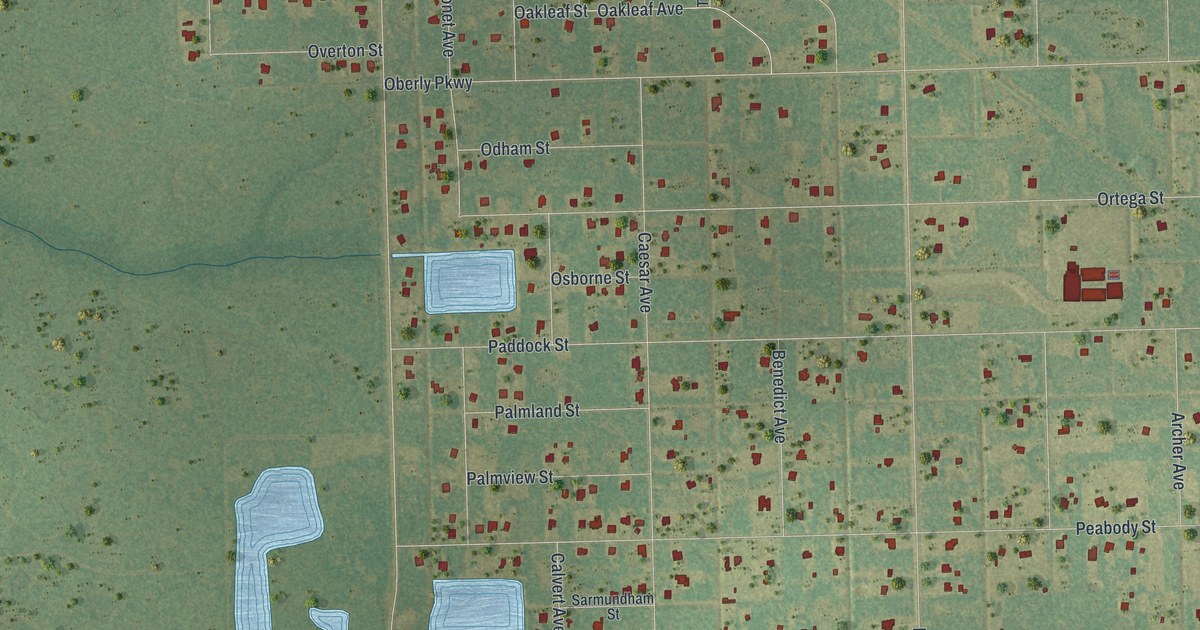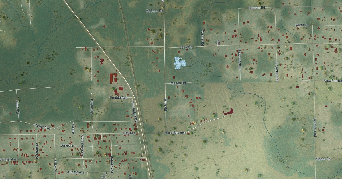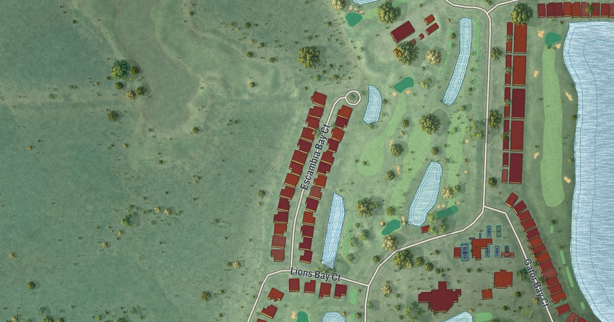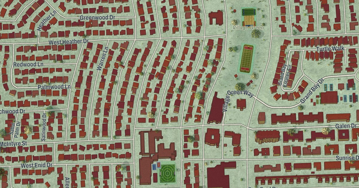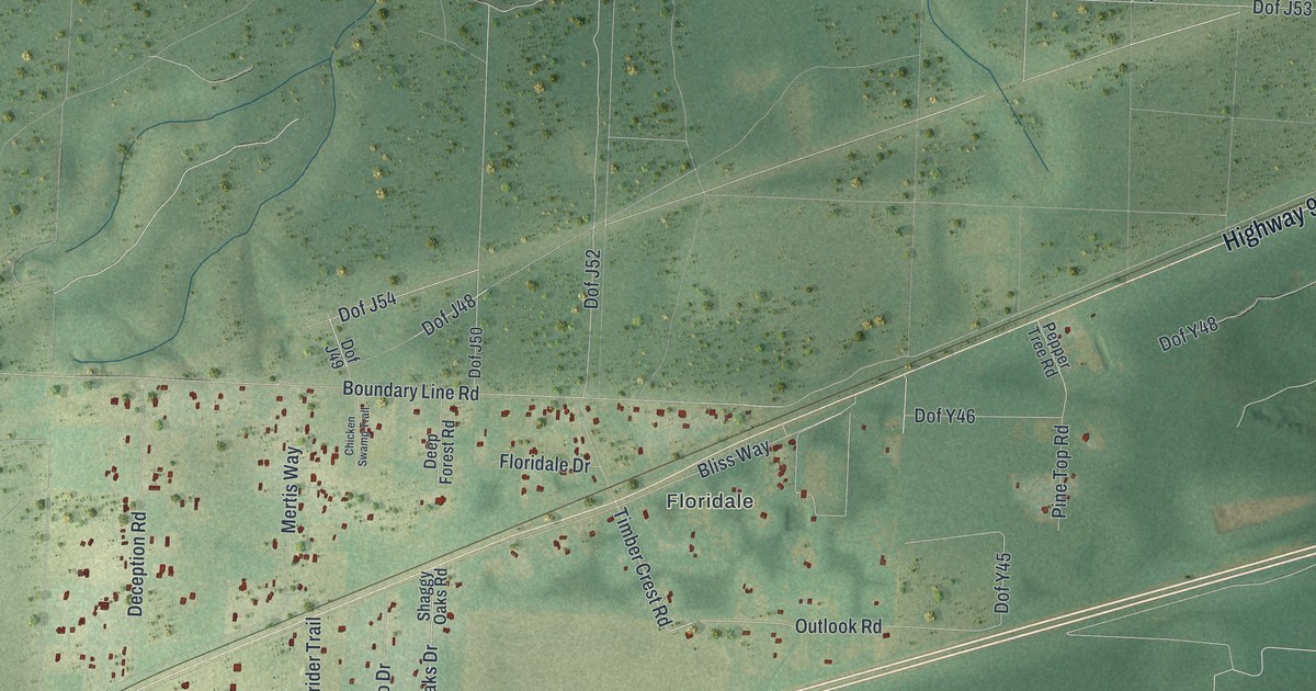
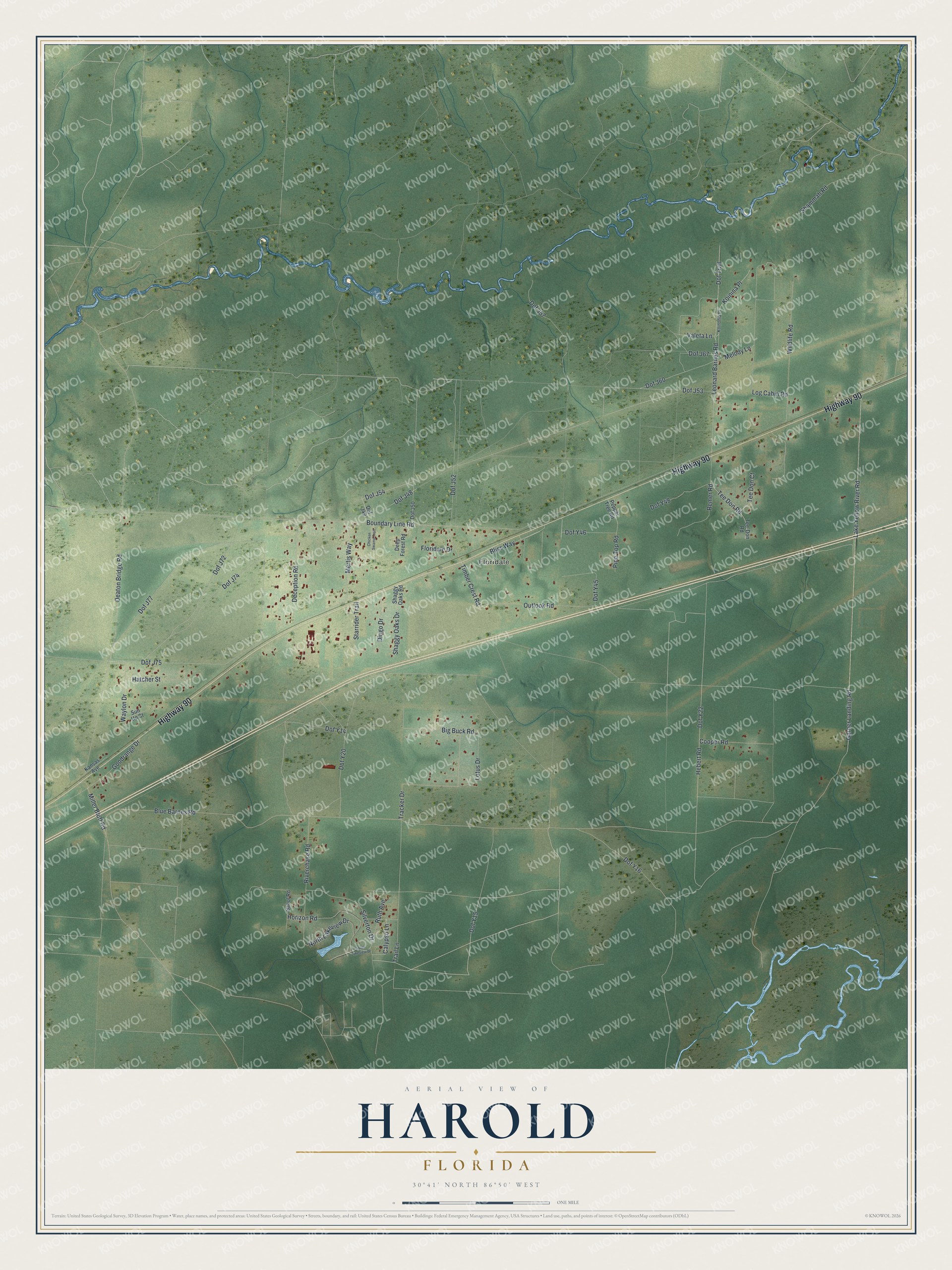
This beautifully detailed map of Harold, Florida was created in 2026 using aerial imagery combined with modern topographical, census, street and landmark data. It's a modern aerial view of Harold in Santa Rosa County, Florida, that combines modern data with a vintage aesthetic. The roads feature printed names, and if you look closely you can find your exact house accurately shown in its correct location.
Explore an aerial view of Harold, Florida
On this map you'll find Floridale, Highway 90, Dof J48, Dof Y15, Dof Y22, Calypso Lane, Hebert Road, Dof J54, Dof Trail, Dof J72, Valeta Lane, Dof J75, and more. Each red shape is a building, so zoom in on the preview and look for yours.
Every town has a first chapter, and Harold is no exception. Local legend says Harold was named for a son of the local postmaster. In earlier days, the Santa Rosa County community was known by the name Oscar. That's from the book Florida Place Names by Allen Morris.
Harold is a community in Santa Rosa County. The Census Bureau counted 909 people here in 2020.
Take a closer look at the Harold map
Names on this map
These names are printed on this map.
Places: Floridale.
Streets and roads: Highway 90, Dof J48, Dof Y15, Dof Y22, Calypso Lane, Hebert Road, Dof J54, Dof Trail, Dof J72, Valeta Lane, Dof J75, Dof J60.
More street names, A to Z
Big Buck Road, Bliss Way, Blue Barnes Road, Boundary Line Road, Chicken Swamp Trail, Cooper Road, Deaton Bridge Road, Deception Road, Deep Forest Road, Dingo Drive, Dof J49, Dof J50, Dof J52, Dof J53, Dof J57, Dof J67, Dof J74, Dof J77, Dof Y14, Dof Y16, Dof Y20, Dof Y45, Dof Y46, Dof Y48, Floridale Drive, Garner Landing Road, Goodrange Drive, Hatcher Street, Horizon Road, Kansas Avenue, Koinina Place, Koinonia Place, Lake Yellow River Road, Leonard Barnes Road, Log Cabin Road, Lotus Drive, Melody Lane, Mertis Way, Miller Bluff Road, North Lakeview Drive, Outlook Road, Pepper Tree Road, Pine Top Road, Remer Road, Riverchase Road, Ruth Avenue, Sabol Road, Shaggy Oaks Drive, Shaggy Oaks Road, Shammah Road, Silverton Drive, South Lakeview Drive, Starrider Trail, Sun Up Court, Tee-Don Road, Tee Don Court, Tee Don Road, Timber Crest Road, Tracker Drive, Trail Lane, Waylon Drive, Wildlife Road.
See it on a wall
The Harold map as a framed print. Swipe for more.


Created by KNOWOL in 2026. The buildings are small red shapes, the roads carry their printed names, and shaded relief shows the shape of the land. The title panel reads "AERIAL VIEW OF HAROLD, FLORIDA" with 30°41' NORTH 86°50' WEST.
Hang it in the hallway, the office or the cabin, or give it to someone who left Harold and still calls it home. Open the preview and look for a street you know. See sizes and frames for the Harold map.