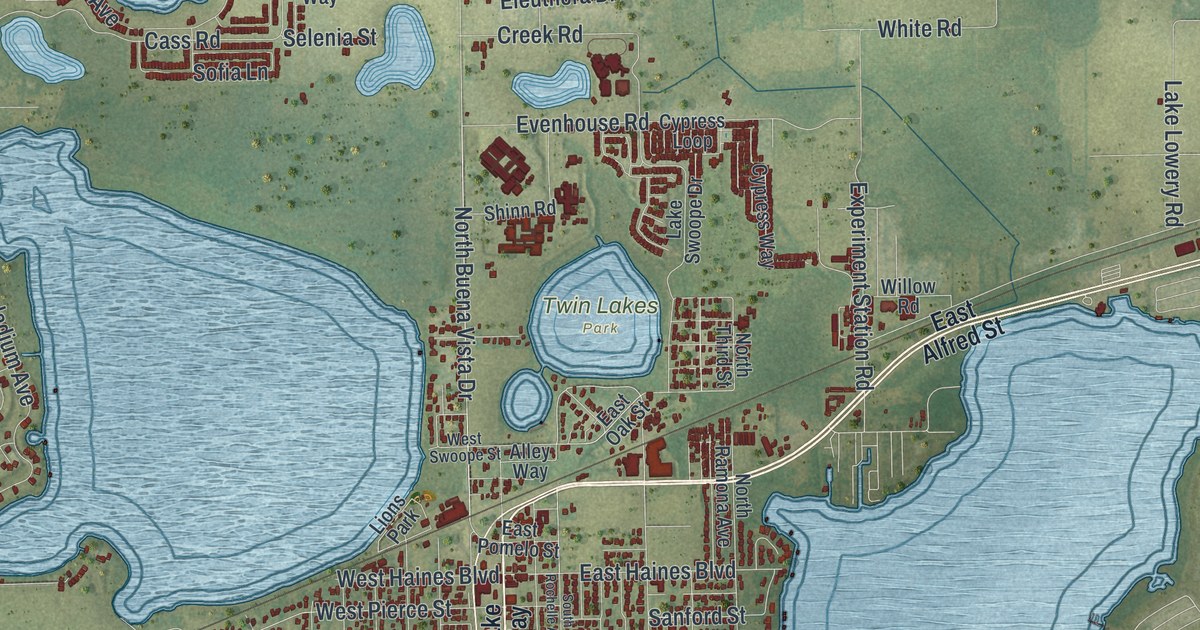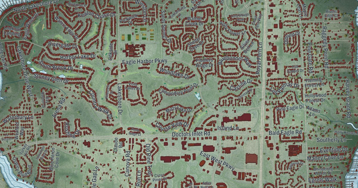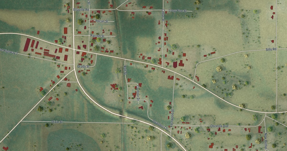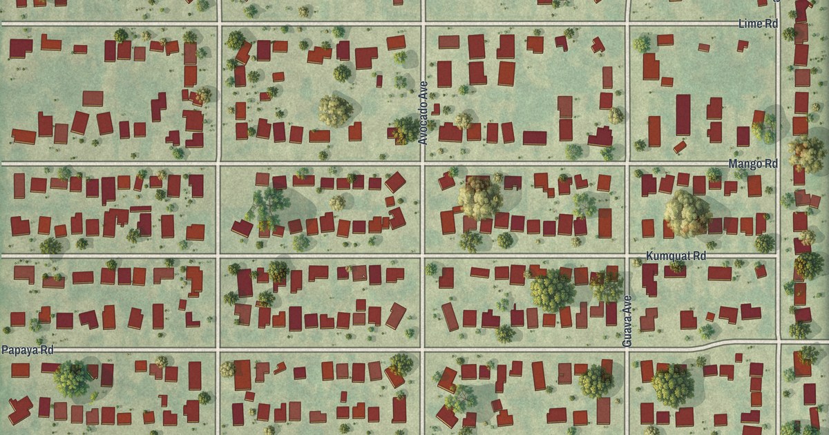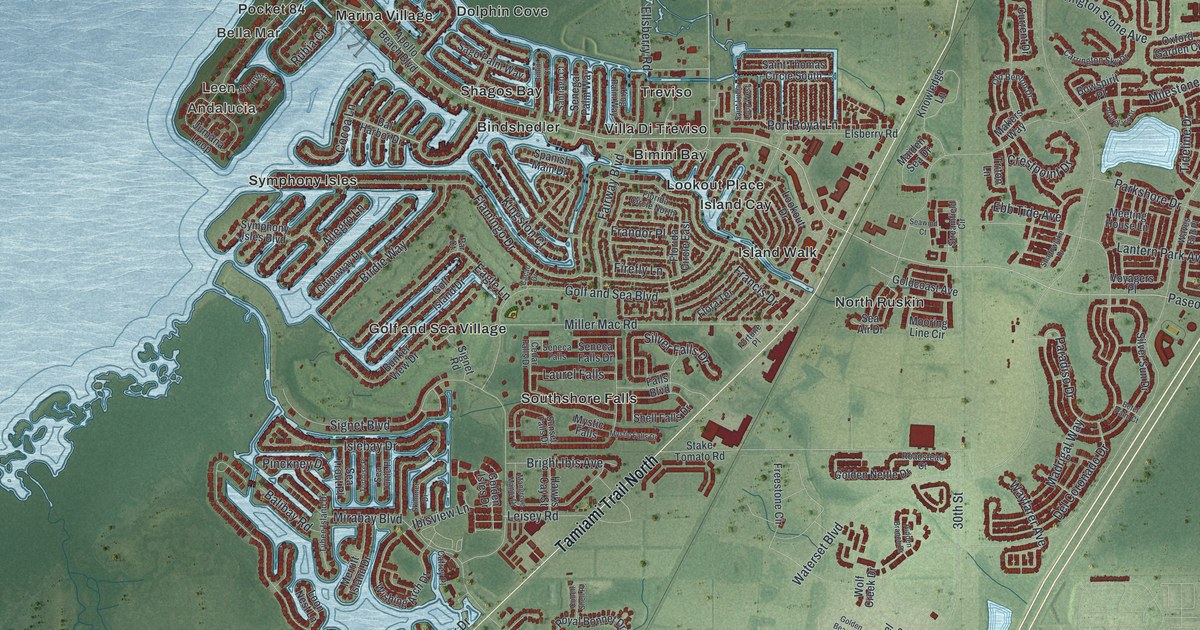
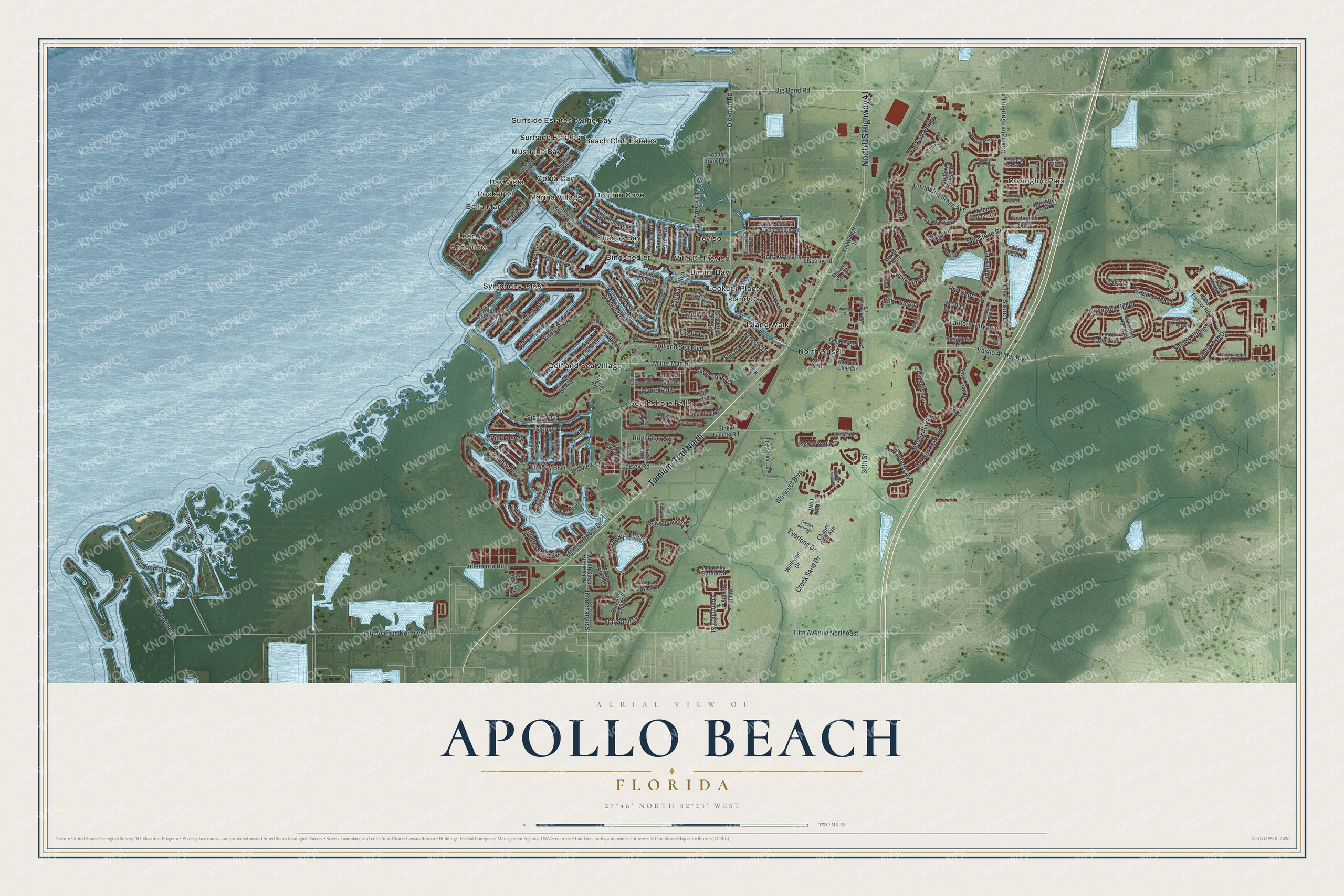
This beautifully detailed map of Apollo Beach, Florida was created in 2026 using aerial imagery combined with modern topographical, census, street and landmark data. It's a modern aerial view of Apollo Beach in Hillsborough County, Florida, that combines modern data with a vintage aesthetic. The roads feature printed names, and if you look closely you can find your exact house accurately shown in its correct location.
Explore an aerial view of Apollo Beach, Florida
On this map you'll find Bella Mar, Andalucia, Leen, Covington Park, North Ruskin, Southshore Falls, Surfside Estates by the Bay, Bindshedler, Treviso, Marina Village, Golf and Sea Village, Island Cay, and more. Each red shape is a building, so zoom in on the preview and look for yours.
Apollo Beach has a story worth telling. The Osprey Observer puts it this way: "Legend has it that Corr’s wife Dorothy suggested a new name she thought would best describe the greatest benefit of the area: sunshine. So in 1958 Apollo Beach was named after the Greek and Roman god of the sun." Corr was Francis J. Corr, a Michigan shopping center developer who had bought the land in 1957 and first called it La Vida Beach.
Apollo Beach is a community in Hillsborough County. The Census Bureau counted 26,002 people here in 2020.
Take a closer look at the Apollo Beach map
Names on this map
These names are printed on this map.
Places: Bella Mar, Andalucia, Leen, Covington Park, North Ruskin, Southshore Falls, Surfside Estates by the Bay, Bindshedler, Treviso, Marina Village, Golf and Sea Village, Island Cay, Mustique Bay, Bay Vista, Symphony Isles, Bimini Bay, Surfside Estates, Dolphin Cove, Lookout Place, Beach Club Estates, Pocket 84, Cobia Cay, Villa Di Treviso, Shagos Bay and Island Walk.
Streets and roads: North US Highway 41, Tamiami Trail North, Dickman Road, Paseo Al Mar Boulevard, Big Bend Road, Paradiso Drive, Sage Creek Drive, Villemaire Road, Covington Garden Drive, Waterset Boulevard, Golf and Sea Boulevard, Flamingo Drive.
More street names, A to Z
19th Avenue Northeast, 19th Avenue Northwest, 30th Street, Alhambra Drive, Allegro Lane, Amaryllis Garden Street, Apollo Beach Boulevard, Bal Harbor Drive, Balibay Road, Betel Palm Court, Bimini Court, Birdie Way, Bounding Home Street, Bowspirit Place, Bright Ibis Avenue, Brighton Park Drive, Brighton Shore Drive, Bristol Park Drive, Bunker View Drive, Butterfly Shell Drive, Cacao Drive, Cafrey Place, Carrington Sky Drive, Cedar Falls Drive, Celtic Ash Drive, Channing Hill Drive, Chapel Row Avenue, Chipaway Drive, Clair Shore Drive, Clair Wood Court, Coastal Scene Drive, Cocoa Lane, Colmar Place, Conch Shell Place, Count Fleet Drive, Covington Stone Avenue, Creek Sand Drive, Crestpoint Drive, Current Drive, Dandelion Street, Del Coronado Drive, Dickman Island, Eagle Lane, Ebb Tide Avenue, Eg Simmons Park Drive, Ellsberry Road, Elsberry Road, Everlong Drive, Exeter Park Place, Fairway Boulevard, Falls Boulevard, Firefly Lane, Flora Terrace, Florida Circle East, Florida Circle North, Fortune Place, Francis Drive, Frandor Place, Freestone Circle, Gate Dancer Road, Goldcoast Avenue, Golden Beach Drive, Golden Isles Drive, Golden Nettle Drive, Golf Island Drive, Guilford Crest Drive, Hawks Cay Street, Hidden Branch Drive, Hope Bay Loop, Hourglass Drive, Ibisview Lane, Interchange Street, Islebay Drive, Ivory Drive, Jumana Loop, King Palm Way, Kingston Court, Knowledge Lane, Lantern Park Avenue, Laurel Falls, Leisey Road, Lemon Drop Loop, Lookout Drive, Loon Nest Lane, Madrigal Way, Maiden Sea Drive, Makers Way, Mangrove Manor Drive, Manns Harbor Drive, Meeting House Lane, Merritt Island Drive, Milestone Drive, Miller Mac Road, Mirabay Boulevard, Monarch Park Drive, Moon Shell Drive, Mooring Line Circle, Mystic Falls, Mystic Falls Drive, Newminster Loop, Noonan Branch Road, Nottinghill Sky Drive, Old Benton Drive, Oxford Garden Circle, Par Court, Parkshore Drive, Park Strand Drive, Pinckney Drive, Port Royal Lane, Regents Garden Way, Roadstead Court, Royal Bonnet Drive, Rubia Circle, Sago Palm Way, Saint Lucia Loop West, Saint Thomas Circle South, Sandy Shell Drive, Santiago Court, Scenic Drive, Sea Air Drive, Seabird Way, Sea Hero Avenue, Sea Trout Place, Sea Turtle Place, Seawind Court, Seneca Falls, Seneca Falls Drive, Senegal Palm Way, Shadowlake Drive, Shell Falls Drive, Signet Boulevard, Signet Road, Silver Falls Drive, Silver Sun Drive, Skimmer Drive, Smarty Jones Drive, Spanish Main Drive, Stake Tomato Road, Star Shell Drive, Streamfield Circle, Sunset Falls Drive, Surfside Boulevard, Surrey Pines Drive, Symphony Isles Boulevard, Tideline Drive, Tortoise Place, Triton Lane, Twelfth Street Northeast, Tybee Island Drive, Victory Gallop Loop, Voyagers Place, Waves End Place, Wayfarer Avenue, White Chicory Drive, Wilderness Trail, Wildwind Drive, Wiltshire Park Place, Wishing Arch Drive, Wolf Creek Drive.
See it on a wall
The Apollo Beach map as a framed print. Swipe for more.


Created by KNOWOL in 2026. The buildings are small red shapes, the roads carry their printed names, and shaded relief shows the shape of the land. The title panel reads "AERIAL VIEW OF APOLLO BEACH, FLORIDA" with 27°46' NORTH 82°23' WEST.
It looks right in a kitchen, an office or a den, and it's a gift for anyone who grew up in Apollo Beach or moved away. Open the preview and find your street. See sizes and frames for the Apollo Beach map.