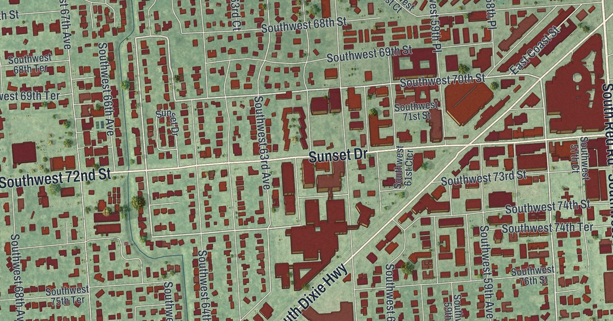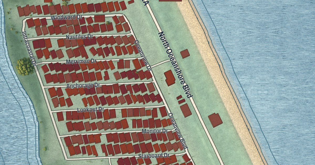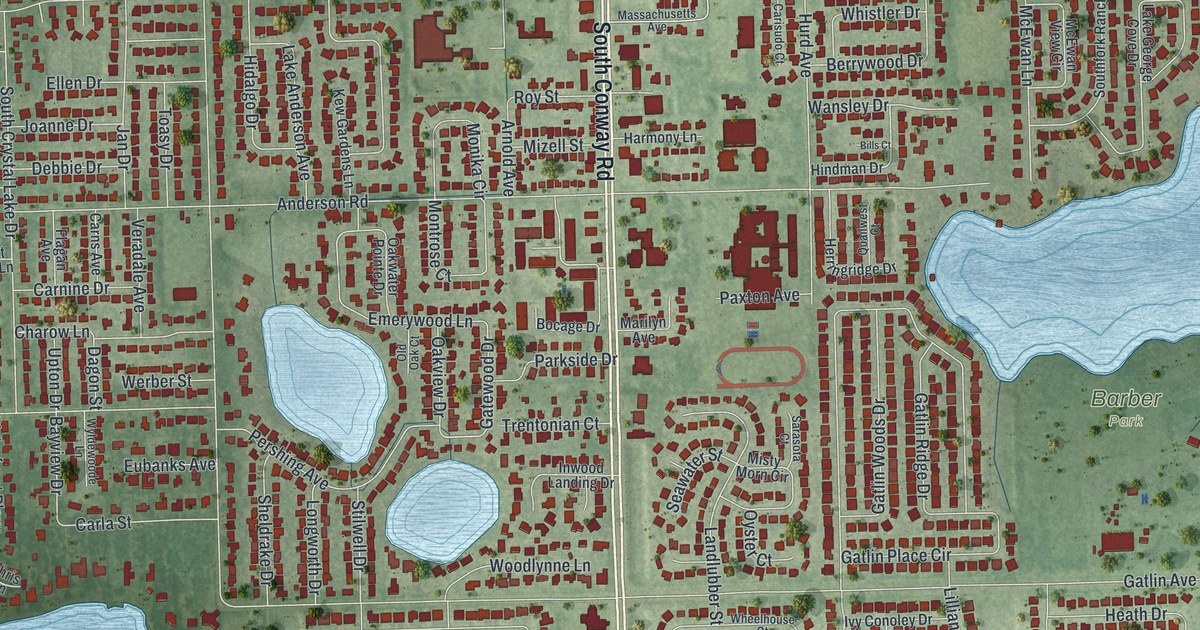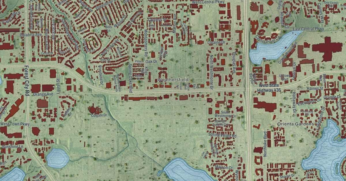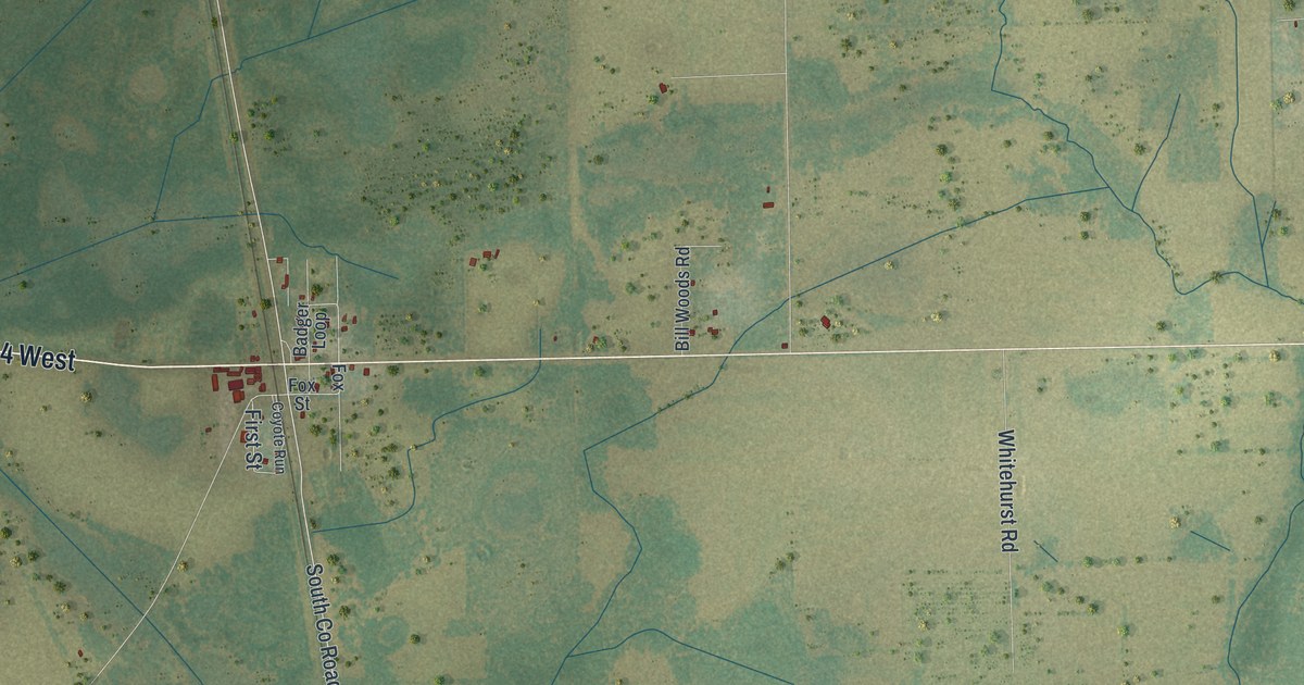
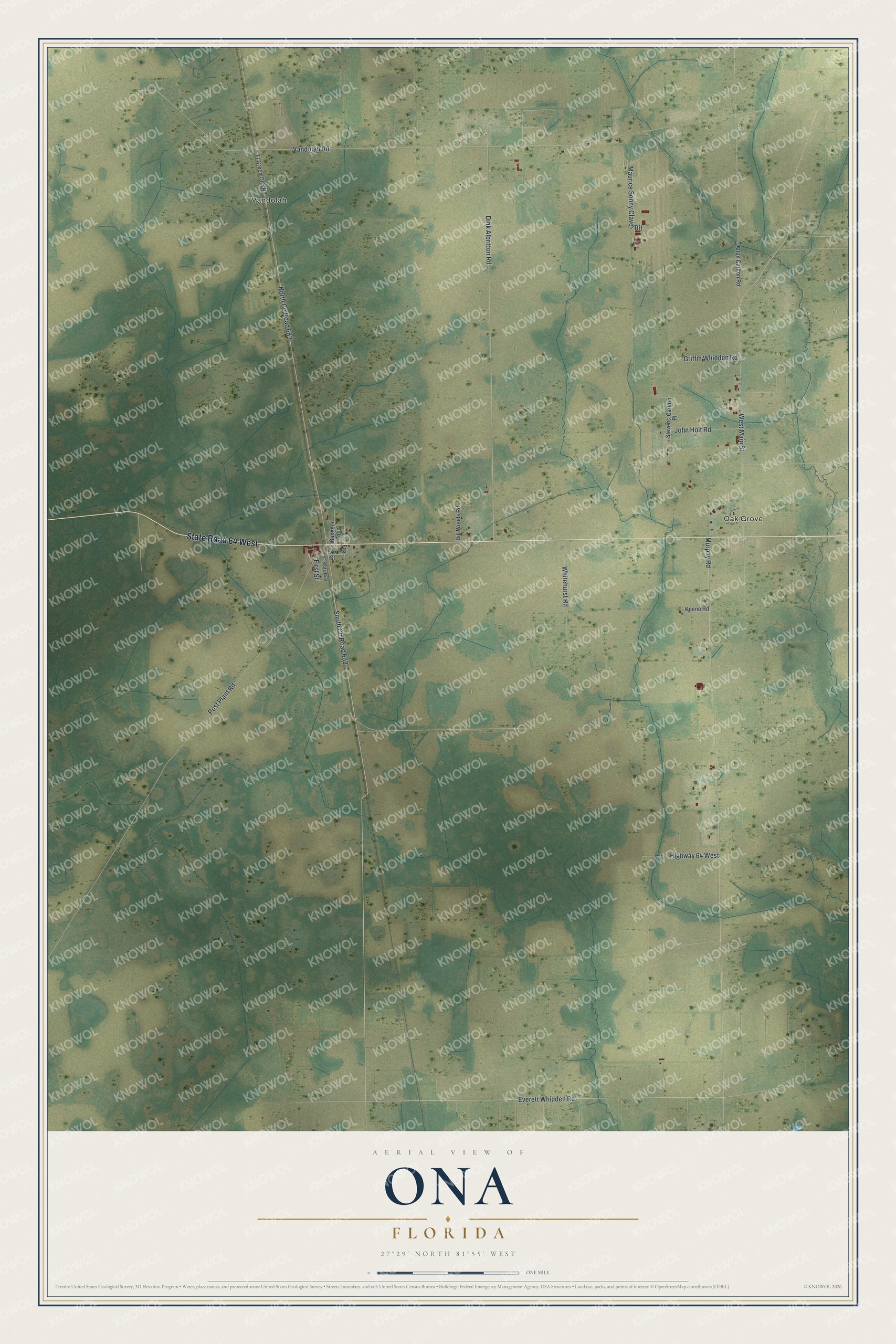
This beautifully detailed map of Ona, Florida was created in 2026 using aerial imagery combined with modern topographical, census, street and landmark data. It’s a one-of-a-kind view of Ona that combines accurate data with a vintage aesthetic. The map shows every building in its true location, many of the roads carry their names, and the shaded topographic relief shows the shape of the land.
Explore an aerial view of Ona, Florida
On the map you’ll find Vandolah, Oak Grove, South Co Road 663, and North Co Road 663, along with State Road 64 West, Everett Whidden Road, Murphy Road, Vandolah Road, Dink Albritton Road, West Main Street, Post Plant Road, Maurice Sonny Clavel Road, and more. If you look closely you can even find your house accurately drawn in its correct location. Zoom in on the preview to look for yours.
Did You Know?
St. James Baptist Church of Ona was organized about 1914, after Reverend S. C. Caldwell held meetings in a tent for several weeks. The church house went up right away, just south of the village and west of the Seaboard Railway. For years the small congregation could not pay a regular pastor. Under Reverend William H. Cade, pastor from 1936, the building was remodeled, he was paid a salary, and the church gave to missions. That's from the Hardee County historian Spessard Stone.
Take a closer look at the Ona map
Names on this map
These names are printed on this map.
Places: Vandolah and Oak Grove.
Streets and roads: State Road 64 West, Everett Whidden Road, South County Road 663, North County Road 663, Murphy Road, Vandolah Road, Dink Albritton Road, West Main Street, Post Plant Road, Maurice Sonny Clavel Road, Whitehurst Road, John Holt Road.
More street names, A to Z
Alton Carlton Road, Badger Loop, Bill Woods Road, Coyote Run, First Street, Fox, Fox Street, Ft Green Ona Road, Griffin Whidden Road, Highway 64 West, Keene Road, Stevens-Carlton Place.
See it on a wall
The Ona map as a framed print. Swipe for more.


This beautifully detailed map of Ona makes an attractive addition to your office, library, or den, and it can even be used to teach children the geography and history of the area. It also makes a great gift for someone who left Ona and still calls it home. When you’re done exploring, click here to get your copy of the Ona map.