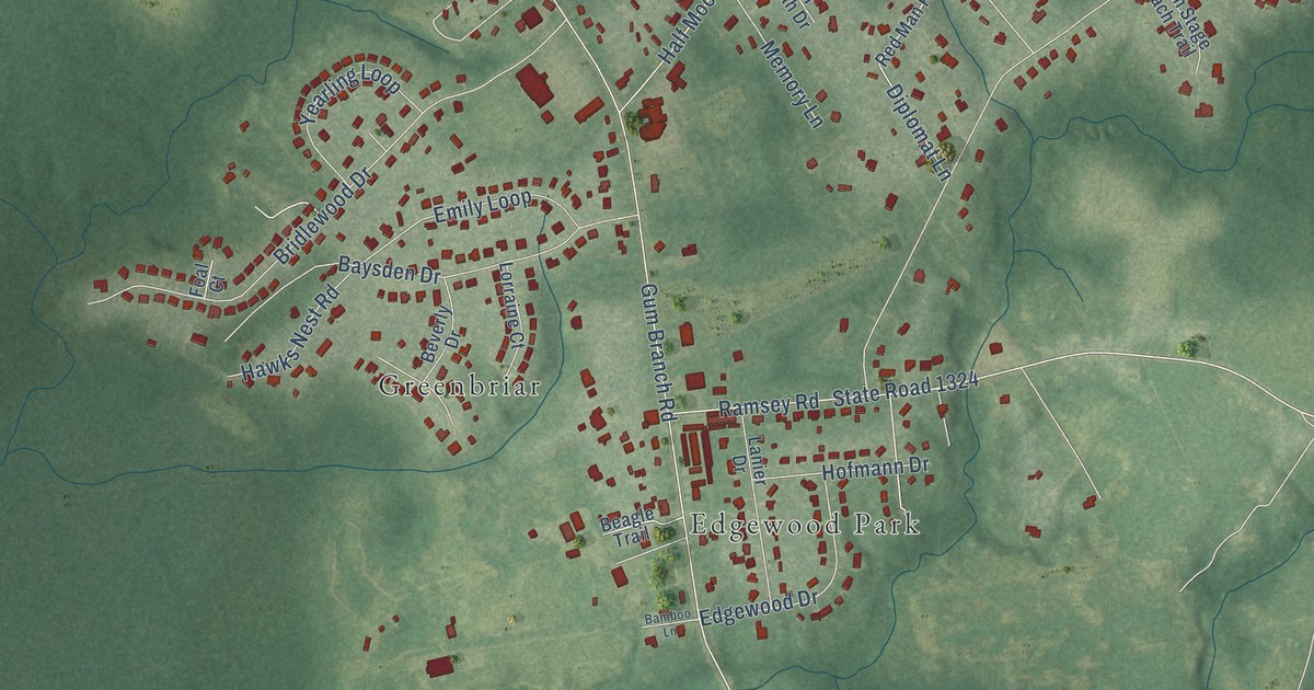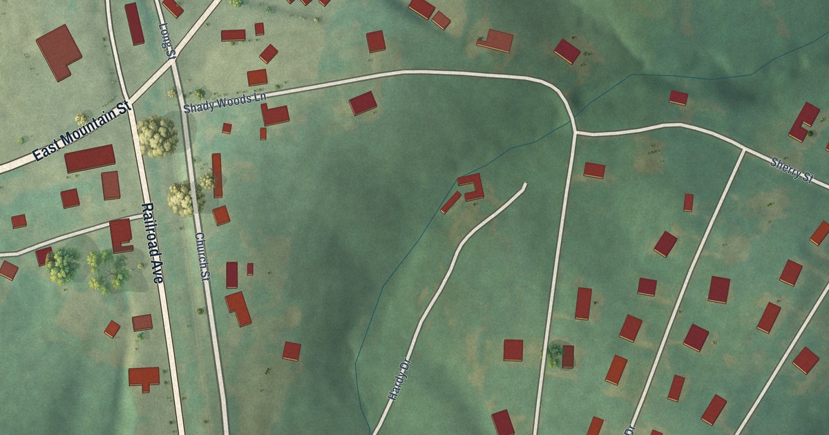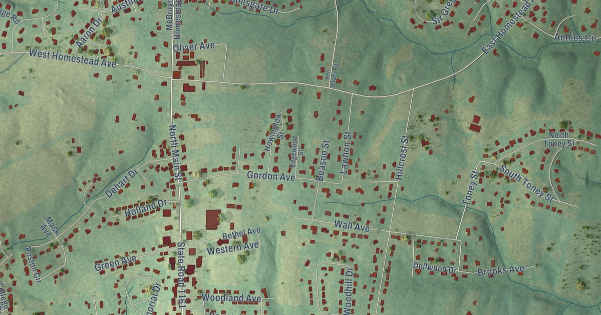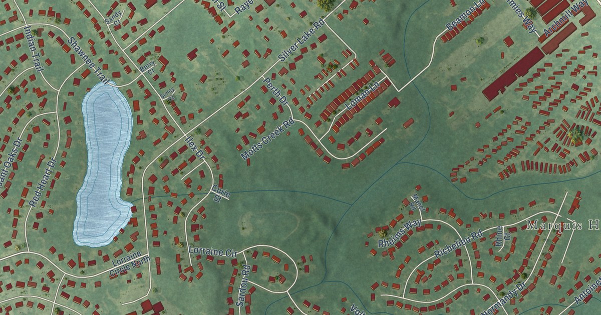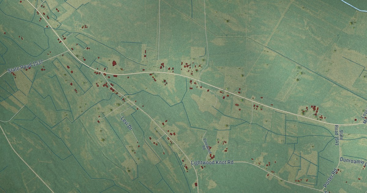
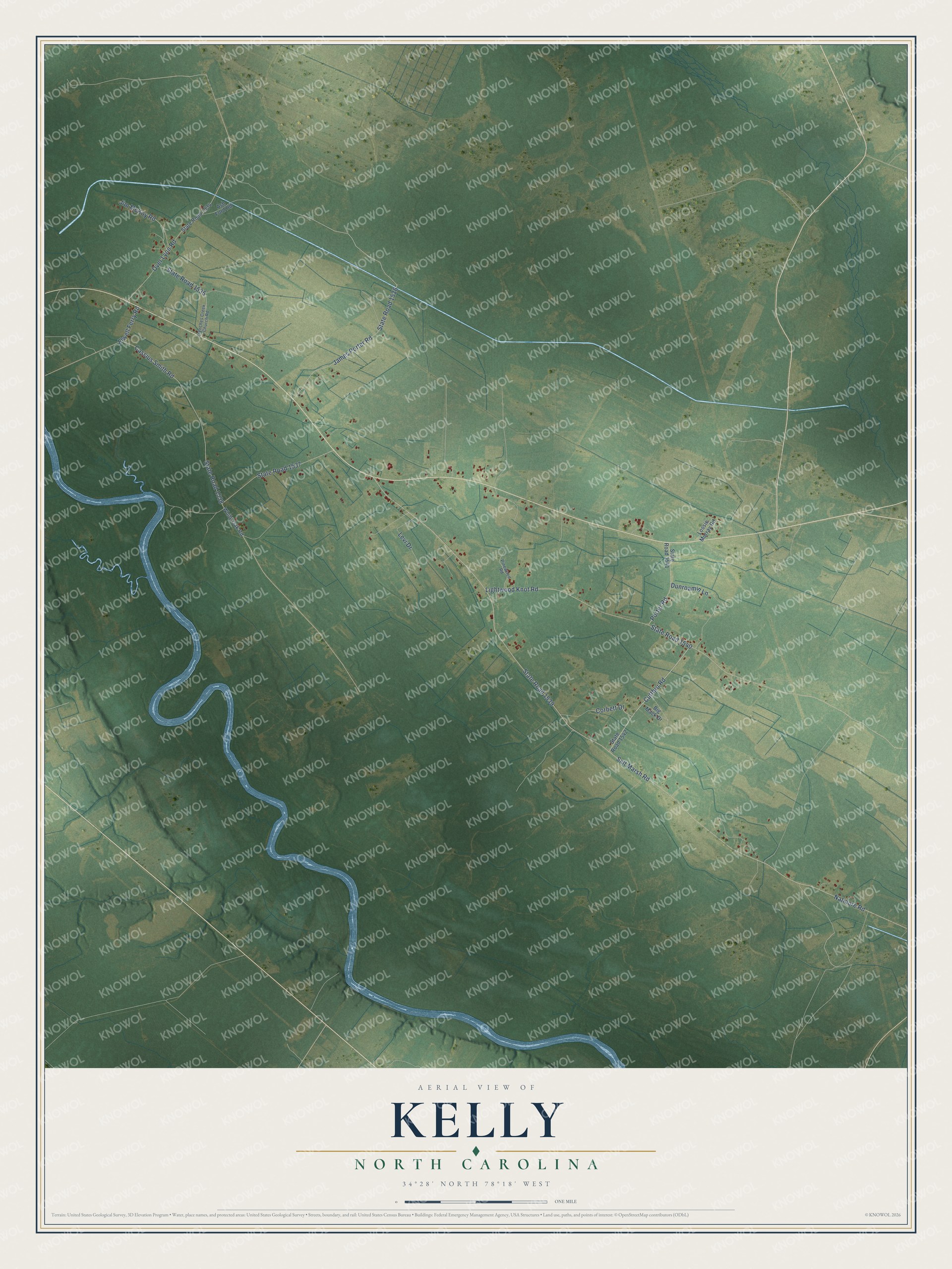
This beautifully detailed map of Kelly, North Carolina was created in 2026 using aerial imagery combined with modern topographical, census, street and landmark data. It's a modern aerial view of Kelly in Bladen County, North Carolina, that combines modern data with a vintage aesthetic. The roads feature printed names, and if you look closely you can find your exact house accurately shown in its correct location.
Explore an aerial view of Kelly, North Carolina
On this map you'll find Cutthru Road, Corbett Drive, Natmore Road, Salt Marsh Road, State Road 1539, Lightwood Knot Road, State Road 1540, Cassius Smith Road, State Road 1538, State Road 1537, James Porter Road, State Road 1536, and more. Each red shape is a building, so zoom in on the preview and look for yours.
Here is a piece of Kelly history. Richard Clyde Allen, born at Kelly in 1882, worked on neighborhood farms as a boy and did odd jobs around the small town to earn his own way. After Wake Forest College and a short time practicing law at Elizabethtown and Wilmington, he went west. At twenty-eight he was elected a district judge in Oklahoma, one of the youngest judges in the nation. He later served as National Attorney for the Creek Nation and was said to have written some of the main laws protecting Indian rights. That's from the Oklahoma Historical Society.
Kelly is a community in Bladen County. The Census Bureau counted 446 people here in 2020.
Take a closer look at the Kelly map
Names on this map
These names are printed on this map.
Streets and roads: Cutthru Road, Corbett Drive, Natmore Road, Salt Marsh Road, State Road 1539, Lightwood Knot Road, State Road 1540, Cassius Smith Road, State Road 1538, State Road 1537, James Porter Road, State Road 1536.
More street names, A to Z
Ash Ford Road, Big Mack Drive, Dunroamin Lane, Elwell Ferry Road, Frenches Creek Church Road, Jim McKoy Road, Levi Drive, Lossie Murray Road, Over Lyon Road, Pinewood Road, Porter Road, State Road 1534, State Road 1535, State Road 1541, State Road 1542, White Oak Road.
See it on a wall
The Kelly map as a framed print. Swipe for more.


Created by KNOWOL in 2026. The buildings are small red shapes, the roads carry their printed names, and shaded relief shows the shape of the land. The title panel reads "AERIAL VIEW OF KELLY, NORTH CAROLINA" with 34°28' NORTH 78°18' WEST.
It suits a den, a classroom or a front hall, and it makes a gift for anyone with Kelly roots. Open the preview and find the block you know. See sizes and frames for the Kelly map.