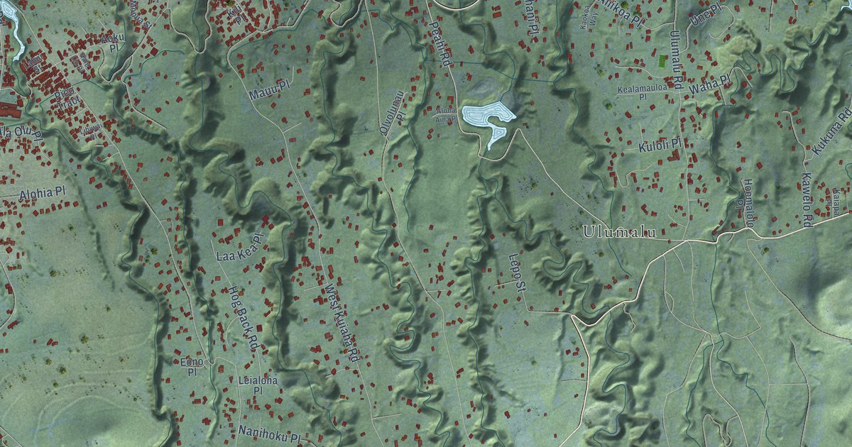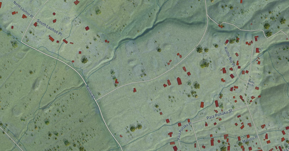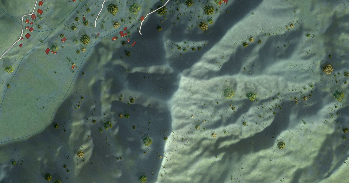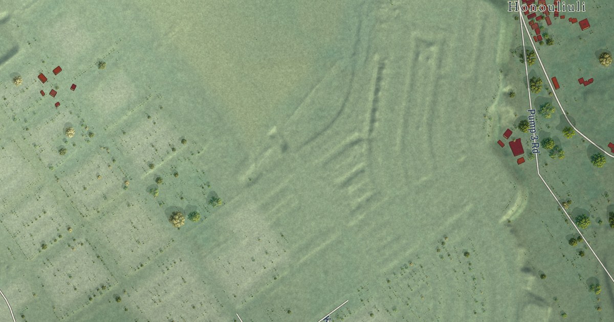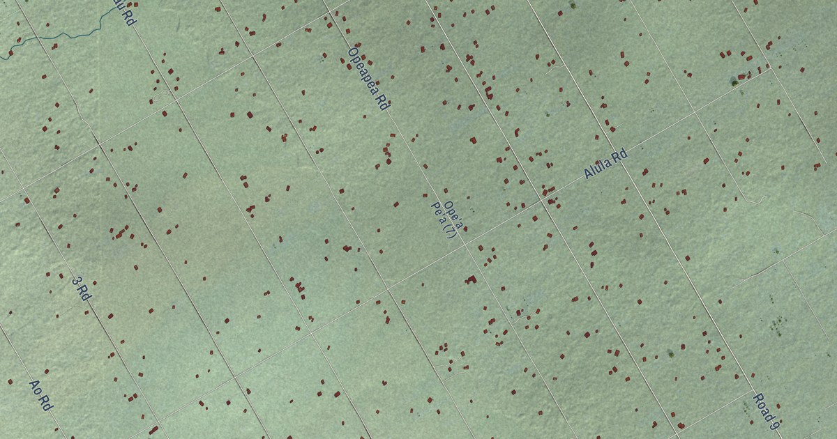
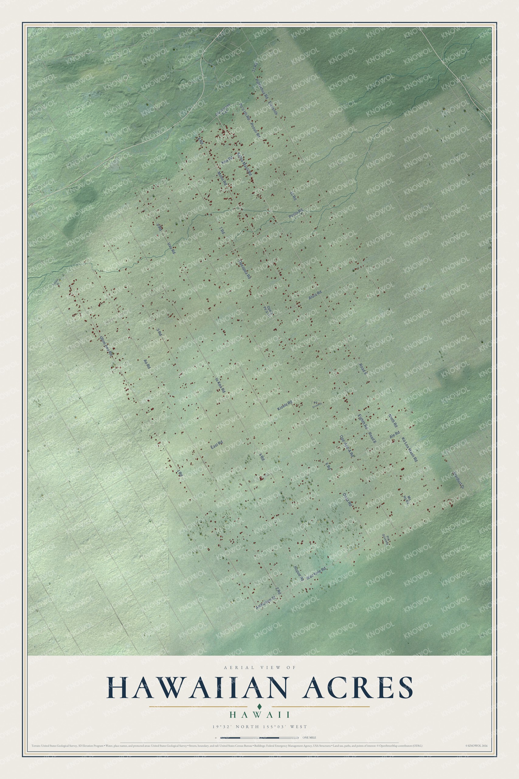
This beautifully detailed map of Hawaiian Acres, Hawaii was created in 2026 using aerial imagery combined with modern topographical, census, street and landmark data. It's a modern aerial view of Hawaiian Acres in Hawaii County, Hawaii, that combines modern data with a vintage aesthetic. The roads feature printed names, and if you look closely you can find your exact house accurately shown in its correct location.
Explore an aerial view of Hawaiian Acres, Hawaii
On this map you'll find Koloa Maoli Road, Ninth Road, Eighth Road, 8 Road, Wao Kele Road, Ao Road, 1 Road, Uhini Ana Road, Road 8, 5 Road, Road 9, Stardust Drive, and more. Each red shape is a building, so zoom in on the preview and look for yours.
Here is a piece of Hawaiian Acres history. Hawaiian Acres began in 1958, when Denver businessmen Glen I. Payton and David F. O'Keefe formed Tropic Estates and bought 12,191 acres between Kurtistown and Mountain View from Robert M. Yamada. They divided it into 4,008 lots, and it became the first of many speculative subdivisions. The first settlers made do without electric service or maintained roads, using rain catchment and outhouses. Of the 72 miles of roads, fewer than 10 miles are paved. That's from the Hawaiian Acres Community Association.
Hawaiian Acres is a community in Hawaii County. The Census Bureau counted 3,426 people here in 2020.
Take a closer look at the Hawaiian Acres map
Names on this map
These names are printed on this map.
Streets and roads: Koloa Maoli Road, Ninth Road, Eighth Road, 8 Road, Wao Kele Road, Ao Road, 1 Road, Uhini Ana Road, Road 8, 5 Road, Road 9, Stardust Drive.
More street names, A to Z
2 Road, 3 Road, 4 Road, 6 Road, 7 Road, 10 Road, 11 Road, Ale Road, Alula Road, Anthurium Street, East Road, Eleventh, Hopue Road, Io Kea Road, Kea Road, Kioele Road, Ko Loa Maoli Road, Moho Road, Mo Ho Road, Old Volcano Trail, Ooaa Road, Ope-Ape-A Road, Opeapea Road, Po'o Uli Road, Poola Road, Poouli Road, Prvt Driveway, Puhala Street, Pulelehua Road, Pvt Driveway, Uau Road.
See it on a wall
The Hawaiian Acres map as a framed print. Swipe for more.


Created by KNOWOL in 2026. The buildings are small red shapes, the roads carry their printed names, and shaded relief shows the shape of the land. The title panel reads "AERIAL VIEW OF HAWAIIAN ACRES, HAWAII" with 19°32' NORTH 155°03' WEST.
It suits a den, a classroom or a front hall, and it makes a gift for anyone with Hawaiian Acres roots. Open the preview and find the block you know. See sizes and frames for the Hawaiian Acres map.