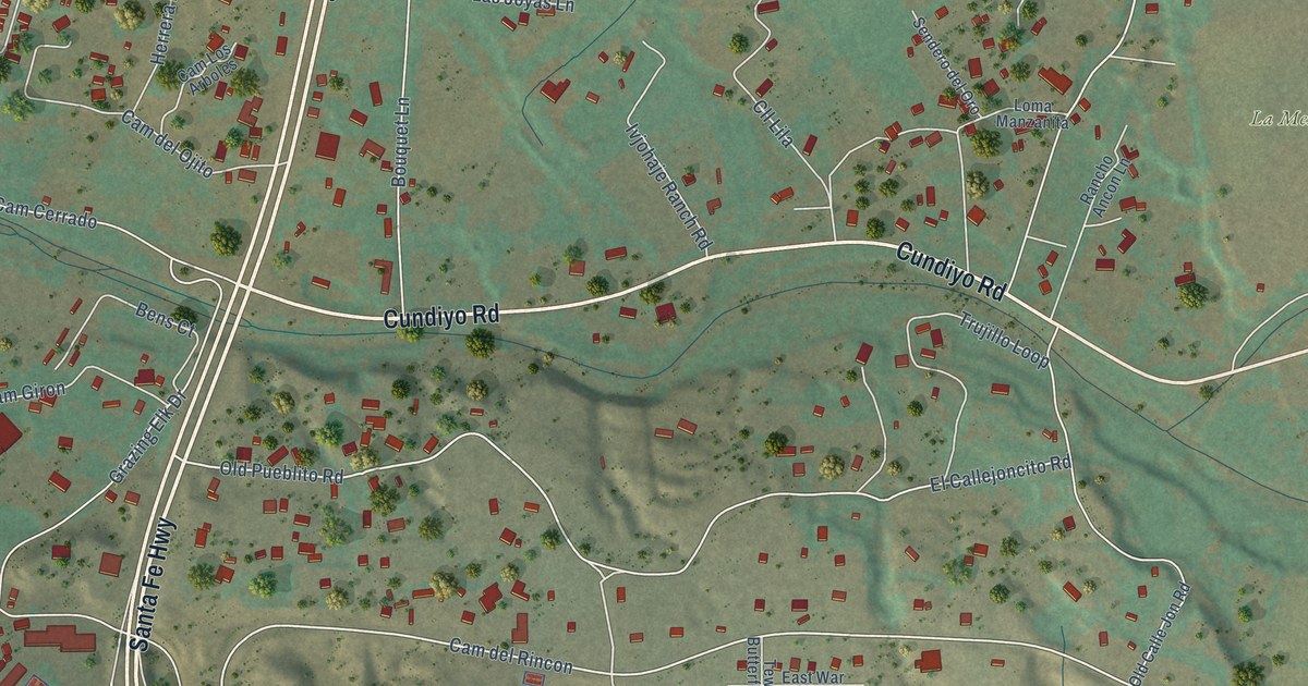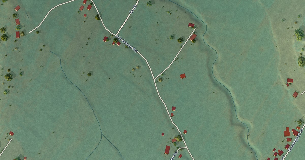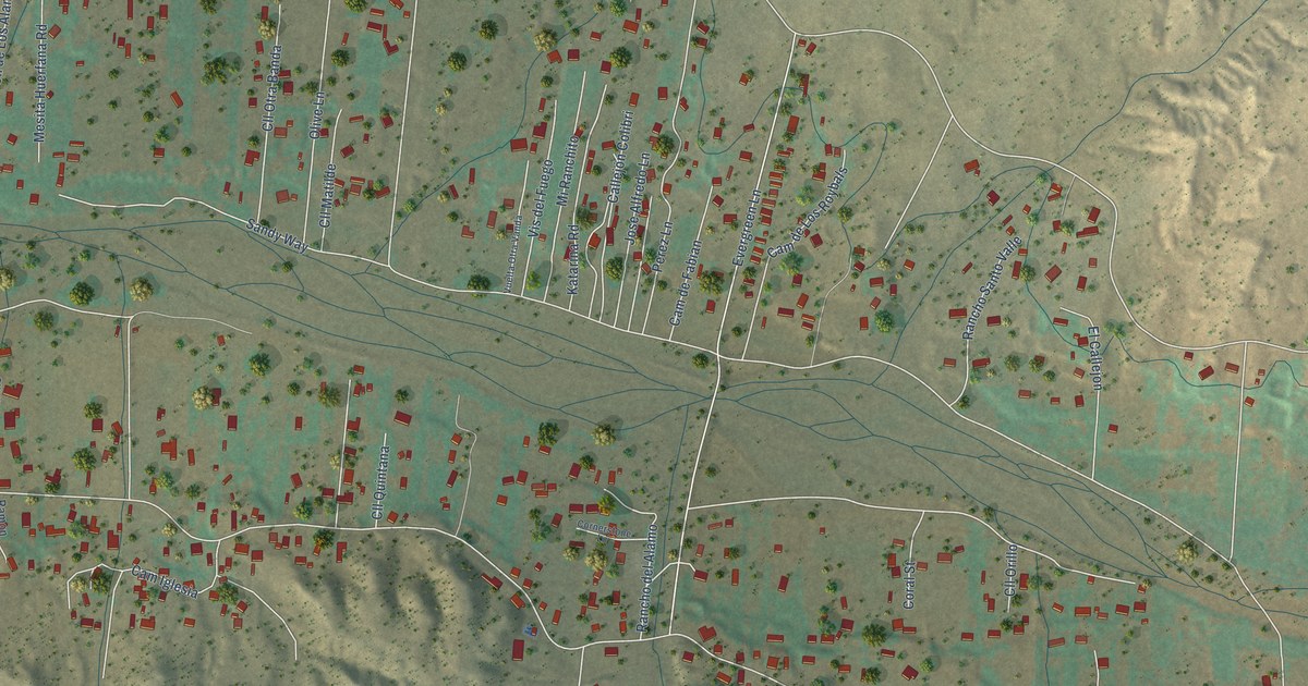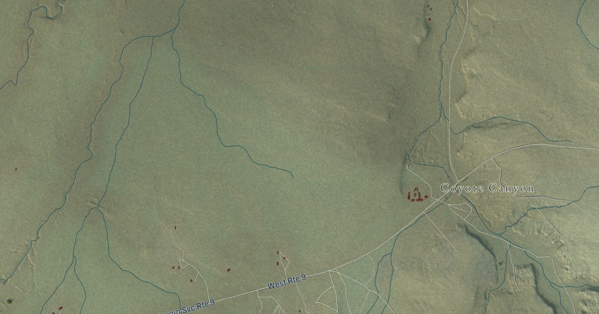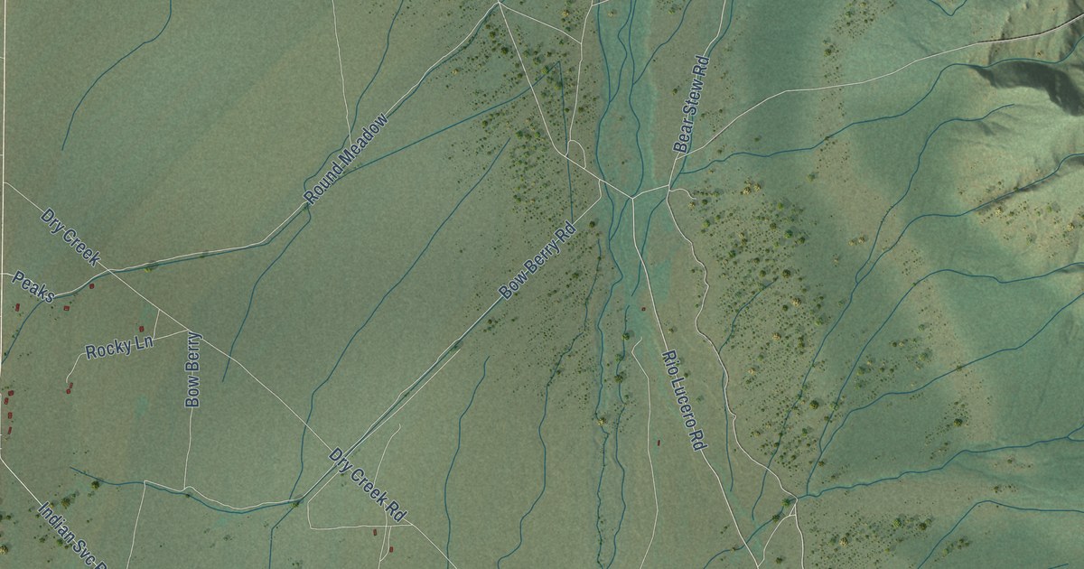
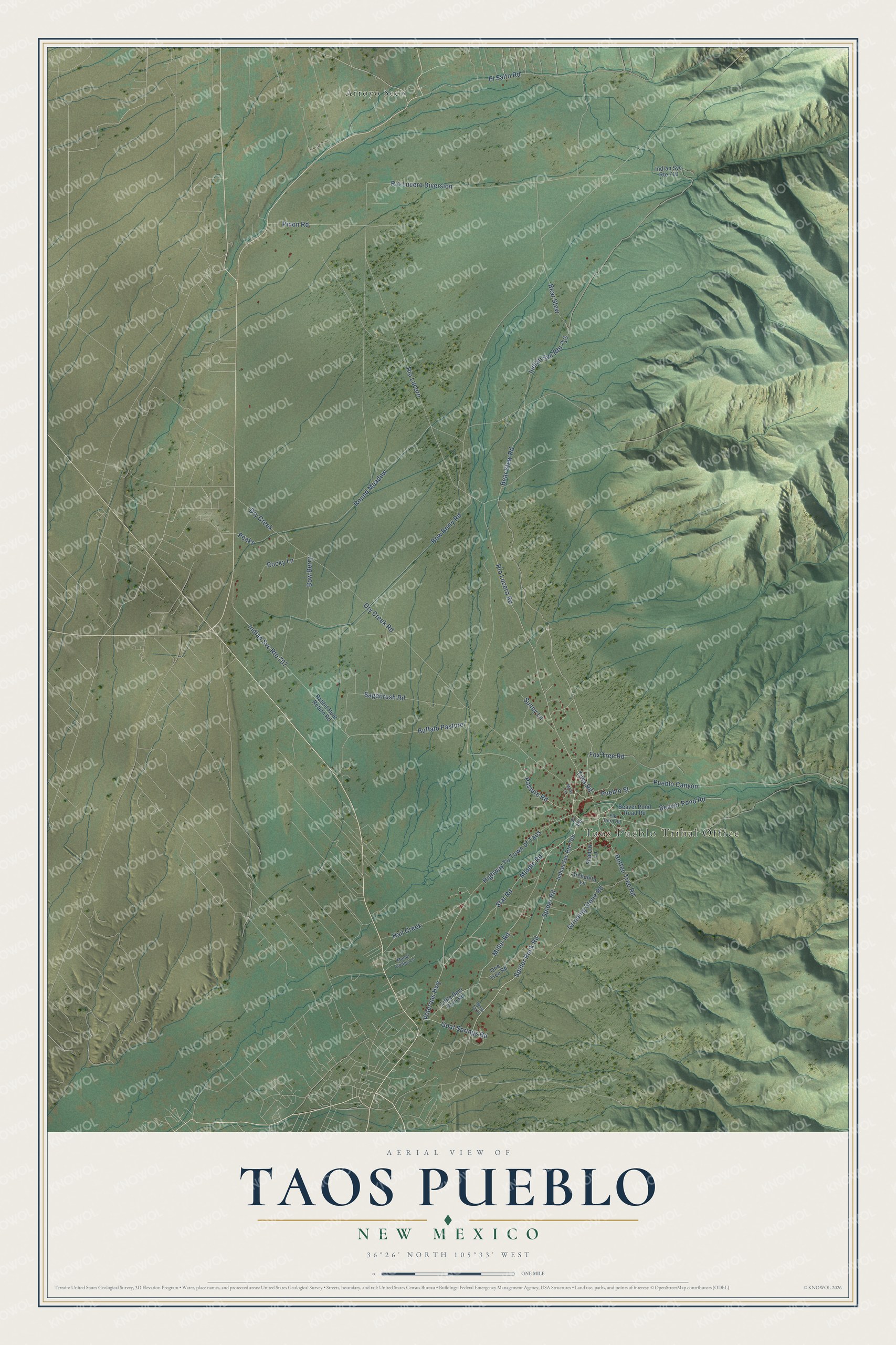
This beautifully detailed map of Taos Pueblo, New Mexico was created in 2026 using aerial imagery combined with modern topographical, census, street and landmark data. It's a modern aerial view of Taos Pueblo in Taos County, New Mexico, that combines modern data with a vintage aesthetic. The roads feature printed names, and if you look closely you can find your exact house accurately shown in its correct location.
Explore an aerial view of Taos Pueblo, New Mexico
On this map you'll find Taos Pueblo Tribal Office, Arroyo Seco, Middle Road, Pueblo Street, Tiwa Road, Spider Rock Road, Rio Lucero Road, Rio Lucero, Pasture Road, Miller Road, Spider Road, Buffalo Pasture, and more. Each red shape is a building, so zoom in on the preview and look for yours.
Every town has a first chapter, and Taos Pueblo is no exception. The people of Taos Pueblo have cultivated the Taos valley since about 900 AD, and their multi-storied adobe homes were built between about 1000 and 1450. Taos Pueblo is one of the oldest continuously inhabited communities in the United States. Families still keep up their homes by replastering them with thick layers of mud and straw. In 1992 Taos Pueblo joined the World Heritage list, alongside the Taj Mahal and the Great Pyramids. That's from the Pueblo of Taos.
Taos Pueblo is a community in Taos County. The Census Bureau counted 1,196 people here in 2020.
Take a closer look at the Taos Pueblo map
Names on this map
These names are printed on this map.
Places: Taos Pueblo Tribal Office and Arroyo Seco.
Streets and roads: Middle Road, Pueblo Street, Tiwa Road, Spider Rock Road, Rio Lucero Road, Rio Lucero, Pasture Road, Miller Road, Spider Road, Buffalo Pasture, Bear Stew Road, Indian Svc Route 707.
More street names, A to Z
Archuleta Lane, Bear Stew, Beaver Pond Road, Beaver Pond Road Road, Bow Berry, Bow Berry Road, Dry Creek, Dry Creek Road, Elk Horn Road, El Salto Road, Fox Tree Road, Fr Road, Goat Springs Road, Grinding Stone Road, Hail Creek, Highway To Town of Taos, Indian Svc Route 705, Indian Svc Route 710, Indian Svc Route 713, Little Deer Horn Road, Mabel Dodge Lane, Mooy Lane, One Tree Road, Peaks, Pinon Road, Pueblo Canyon, Rabbit Hunt Return Road, Rio Lucero Diversion, Rocky Lane, Rotten Tree Road, Round Meadow, Sagebrush Road, Shadow Lane, Star Road, Sunny Lane, Veterans Highway, Winter Fat Drive.
See it on a wall
The Taos Pueblo map as a framed print. Swipe for more.


Created by KNOWOL in 2026. The buildings are small red shapes, the roads carry their printed names, and shaded relief shows the shape of the land. The title panel reads "AERIAL VIEW OF TAOS PUEBLO, NEW MEXICO" with 36°26' NORTH 105°33' WEST.
Hang it in the hallway, the office or the cabin, or give it to someone who left Taos Pueblo and still calls it home. Open the preview and look for a street you know. See sizes and frames for the Taos Pueblo map.