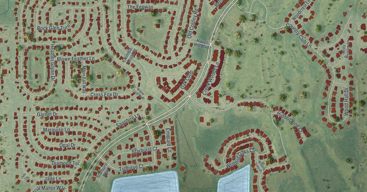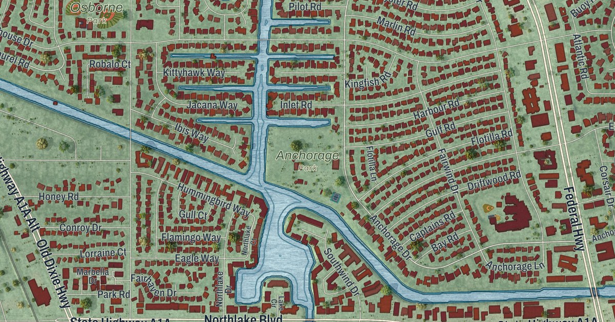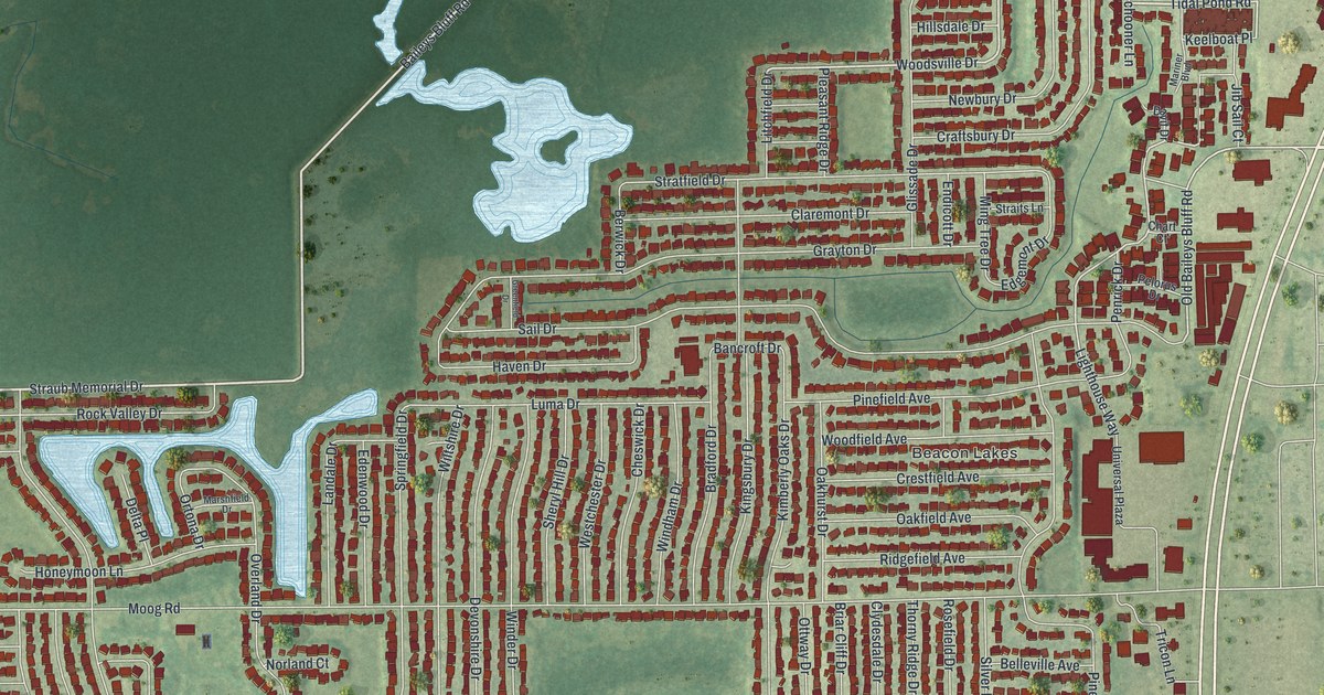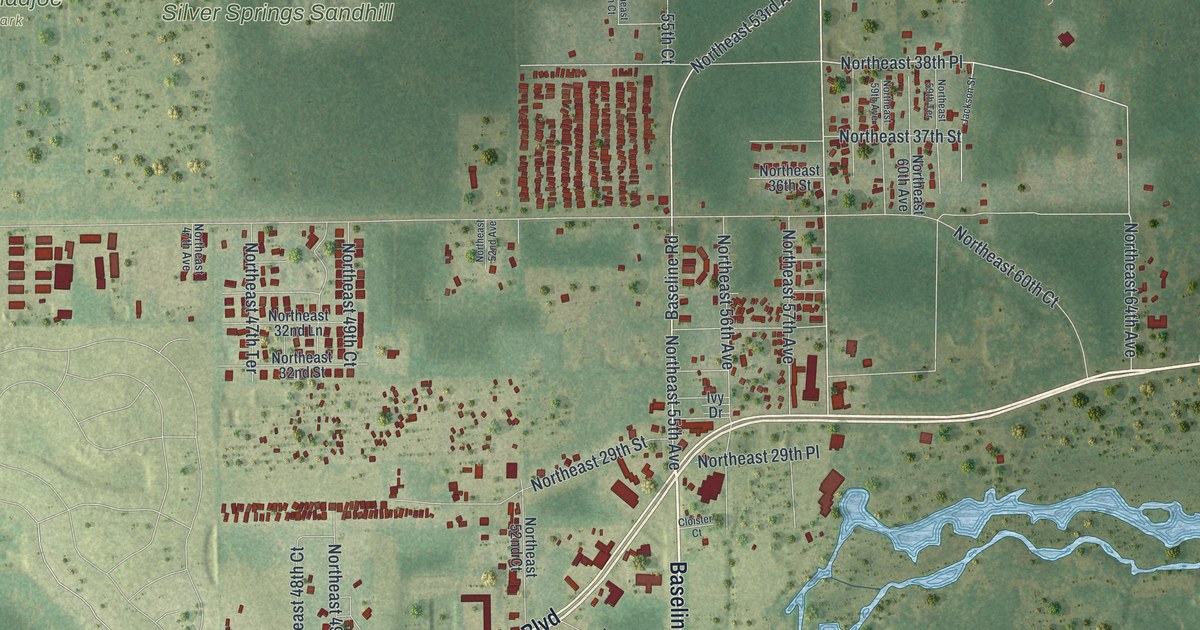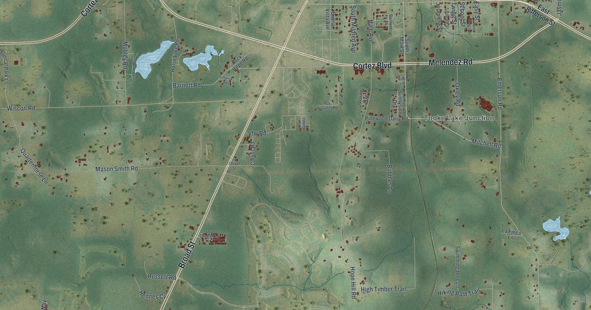
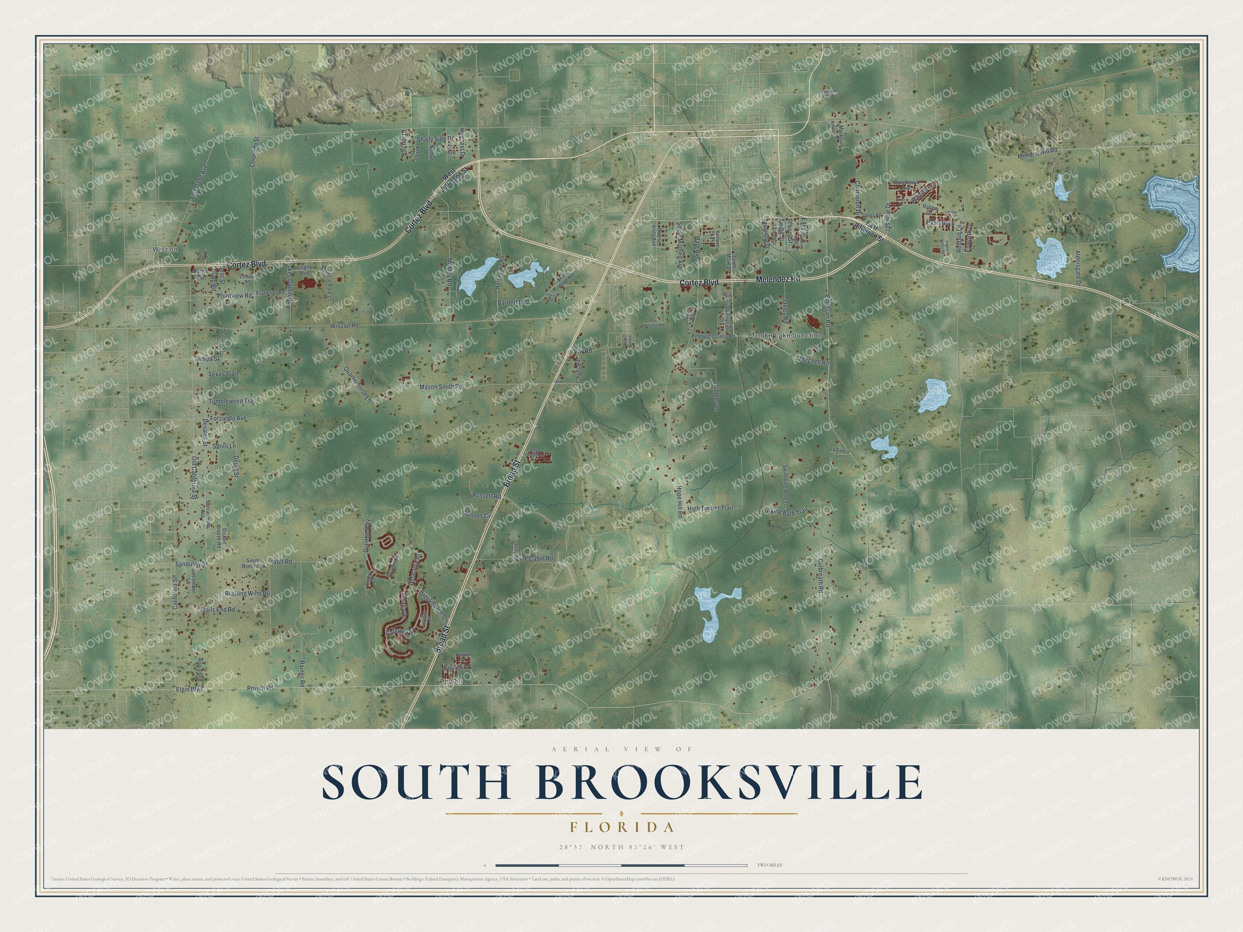
This beautifully detailed map of South Brooksville, Florida was created in 2026 using aerial imagery combined with modern topographical, census, street and landmark data. It’s a one-of-a-kind view of South Brooksville that combines accurate data with a vintage aesthetic. The map shows every building in its true location, many of the roads carry their names, and the shaded topographic relief shows the shape of the land.
Explore an aerial view of South Brooksville, Florida
On the map you’ll find Tooke Lake Junction, Powell, and Wiscon, along with Cortez Boulevard, Broad Street, Melendez Road, Mitchell Road, Barnett Road, Mondon Hill Road, Jasmine Drive, Wiscon Road, Brookhaven Drive, and more. If you look closely you can even find your house accurately drawn in its correct location. Zoom in on the preview to look for yours.
Did You Know?
Moton Elementary, on Emerson Road in South Brooksville, traces back to 1868, when the Brooksville School Society met at Bethlehem Baptist Church with Mrs. Hagler as its teacher. It became a public school in 1871 and was renamed in 1939 for Robert Russa Moton, the second president of Tuskegee Institute. The school district calls it the oldest continuously operating public school in Hernando County. That's from the Hernando County School District.
Take a closer look at the South Brooksville map
Names on this map
These names are printed on this map.
Places: Tooke Lake Junction, Powell and Wiscon.
Streets and roads: Cortez Boulevard, Broad Street, Melendez Road, Mitchell Road, Barnett Road, Mondon Hill Road, Jasmine Drive, Wiscon Road, Brookhaven Drive, Elgin Boulevard, Powell Road, California Street.
More street names, A to Z
Aldersgate Drive, Bethune Street, Bonnie Lake Road, Bubbles Lane, Buck Hope Road, Buena Vista Avenue, Byronic Court, Cadiz Court, Caliquen Drive, Champion Drive, Colorado Street, Corliss Road, Culbreath Road, December Lane, Delacroix Drive, Dentala Street, Dent Street, Desales Street, Deuel Street, Diantha Way, Distant Breeze Road, East Jefferson Street, Easy Street, Emerson Road, Epworth Drive, Fenwick Road, Fort Dade Avenue, Forzando Avenue, Frankfort Road, Furman Road, Gevalia Drive, Hale Avenue, Hennes Cv, Hidden Valley Road, High Timber Trail, Hiking Path Trail, Hillcrest Drive, Hope Hill Road, Horse Lake Road, Hospital Boulevard, Jackson Street, Josephine Street, Kocher Drive, Kohen Road, Kregg Drive, La Finca Lane, Landay Street, Lee Avenue, Leonard Street, Lisette Circle, Lykes Dublin Road, Markham Lane, Mason Smith Road, Medical Park Lane, Mobley Road, Mount Fair Avenue, Nancy Avenue, Nina Lane, Norton Drive, Nunn Road, Old California Street, Oliver Street, Olmes Road, Oney Drive, Oxley Road, Pasture Lane, Pine Cabin Road, Pinewood Dairy Road, Pointview Road, Quarterhorse Lane, Raines Road, Rambler Drive, Range Lane, Rappelo Drive, Ray Browning Road, Redbud Lane, Reuben Drive, Rowan Road, Russett Road, Rustling Wind Road, Sacramento Avenue, Saint Francis Street, Sandusky Street, School Street, Shady Side Drive, Silent Breeze Street, Snap Dragon Lane, South Main Street, South Mildred Avenue, Spoto Lane, Sunnyside Drive, Swimming Hole Lane, Tampa Street, Texas Trail, Trails End Road, Tumbleweed Trail, Twigg Street, Ursula Avenue, Vfw Road, Victory Drive, West Jefferson Street, Wolf Road, Woodlawn Avenue, Young Street.
See it on a wall
The South Brooksville map as a framed print. Swipe for more.


This beautifully detailed map of South Brooksville makes an attractive addition to your office, library, or den, and it can even be used to teach children the geography and history of the area. It also makes a great gift for someone who left South Brooksville and still calls it home. When you’re done exploring, click here to get your copy of the South Brooksville map.