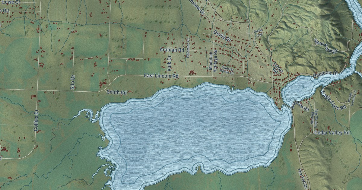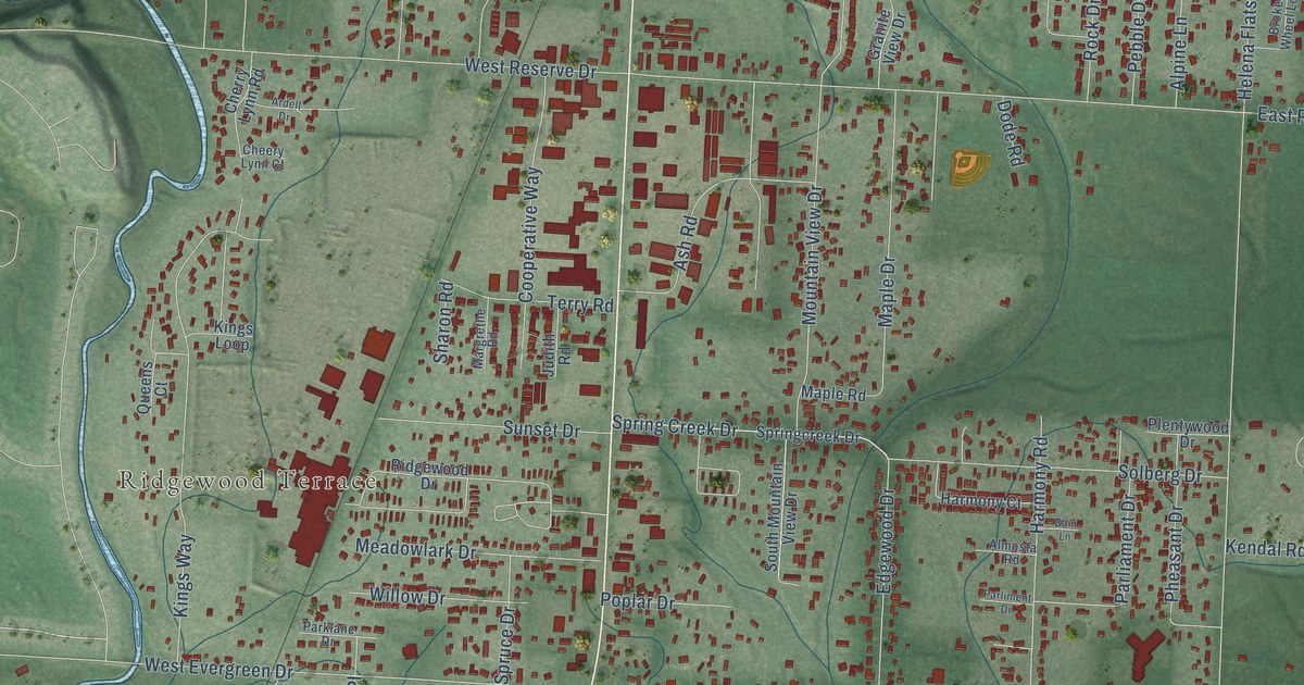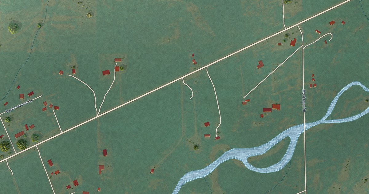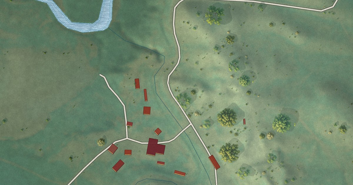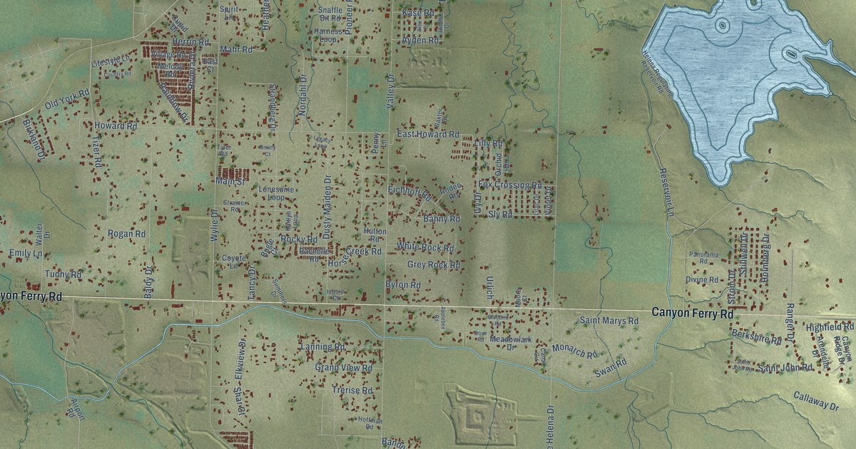
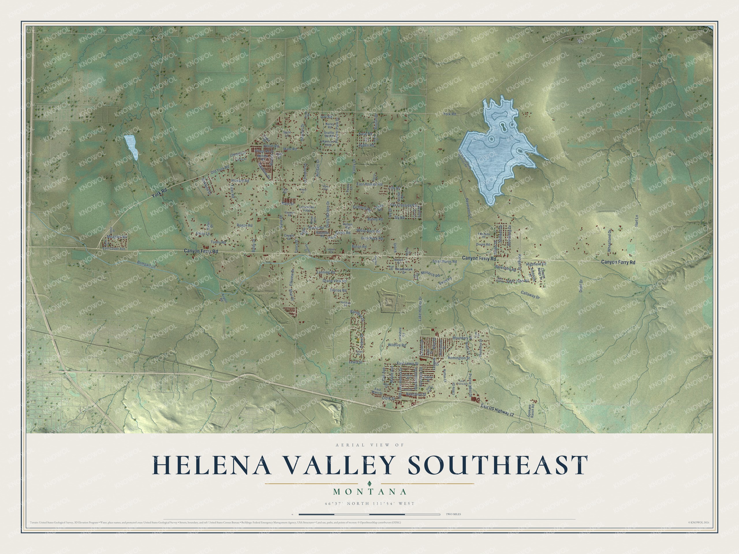
This beautifully detailed map of Helena Valley Southeast, Montana was created in 2026 using aerial imagery combined with modern topographical, census, street and landmark data. It's a modern aerial view of Helena Valley Southeast in Lewis and Clark County, Montana, that combines modern data with a vintage aesthetic. The roads feature printed names, and if you look closely you can find your exact house accurately shown in its correct location.
Explore an aerial view of Helena Valley Southeast, Montana
On this map you'll find Canyon Ferry Road, York Road, Oak Avenue, East Lewis Street, Lewis Street, Maple Avenue, Clark Street, Strom Drive, Lake Helena Drive, Valley Drive, Wylie Drive, Howard Road, and more. Each red shape is a building, so zoom in on the preview and look for yours.
Helena Valley Southeast has a story worth telling. Captain William Clark and his party entered the Prickly Pear Valley on July 19, 1805. Clark named the valley for Sergeant Nathaniel Pryor, and in his journal he called its stream Pryor Creek, a beautiful creek winding through a valley of great extent. In time it became Prickly Pear Creek, for the cactus that grows plentifully in the valley. Farming grew with the Prickly Pear Valley Irrigation Project in the 1910s, and again in the 1950s when Missouri River water was pumped to the Helena Regulating Reservoir. That's from the Montana Historical Society.
Helena Valley Southeast is a community in Lewis and Clark County. The Census Bureau counted 9,168 people here in 2020.
Take a closer look at the Helena Valley Southeast map
Names on this map
These names are printed on this map.
Streets and roads: Canyon Ferry Road, York Road, Oak Avenue, East Lewis Street, Lewis Street, Maple Avenue, Clark Street, Strom Drive, Lake Helena Drive, Valley Drive, Wylie Drive, Howard Road.
More street names, A to Z
Airport Road, Alex Drive, Applebee Road, Arendelle Drive, Aster Street, Ayden Road, Bahny Road, Baldy Drive, Bandera Drive, Baxter Drive, Beechnut Street, Berkshire Road, Birkland Drive, Bison Drive, Bluebird Road, Bompart Lane, Boundary Street, Boylan Drive, Buckboard Drive, Bugle Court, Byron Road, Callaway Drive, Canal Circle, Canyon Ridge Drive, Casper Drive, Cattle Drive, Clinton Street, Cobre Drive, Colt Drive, Country Road, Coyote Lane, Cupid Drive, Daisy Street, Diehl Drive, Divine Road, Dove Road, Dusty Maiden Drive, East Court, East Custer Avenue, Eastgate Drive, East Howard Road, East Main Street, East US Highway 12, Eichhoff Road, Elkview Drive, Emily Lane, Fox Crossing Road, Giant View Drive, Grand View Road, Grey Rock Road, Harness Loop, Hart Lane, Haystack Drive, Heather Drive, Helena Regulating Reservoir Road, Herrin Road, Highfield Road, Hoffman Road, Holmberg Drive, Horse Creek Road, Hutton Road, Ivesia Court, Ivy Drive, Joelle Drive, Kaitlyn Loop, Kase Road, Kottas Court, Lanning Road, Legacy Loop, Lifestyle Lane, Lilac Drive, Lilly Road, Lockshire Lane, Lone Prairie Road, Lonesome Loop, Lori Road, Mahr Road, Main Street, Meadowlark Drive, Meagher Road, Melody Road, Monarch Road, Moore Court, Nancy Road, Nordahl Drive, Old Lake Helena Drive, Old York Road, Opal Court, Orchid Drive, Panorama Road, Penny Lane, Pike Drive, Pioneer Park Drive, Prairie Nest Drive, Rachelle Road, Rainbow Drive, Ranger Drive, Remington Street, Reservoir Lane, Riggs Street, Riviera Drive, Rocky Road, Rodeo Road, Rogan Road, Ruger Lane, Saint John Road, Saint Marys Road, Shar Court, Shoshone Drive, Sly Road, Smitty Court, Snaffle Bit Road, Spirit Lane, Spokane Ranch Road, Stillwell Drive, Strainer Road, Strandberg Drive, Summers Drive, Swan Road, Tancy Drive, Tejon Lane, Tizer Road, Toney Drive, Toole Drive, Trerise Road, Tuohy Road, Tyler Road, Urlich, Village Road, Violet Drive, Walter Drive, Wheatland Drive, White Drive, White Rock Road, Wildfire Road, Winchester Drive.
See it on a wall
The Helena Valley Southeast map as a framed print. Swipe for more.


Created by KNOWOL in 2026. The buildings are small red shapes, the roads carry their printed names, and shaded relief shows the shape of the land. The title panel reads "AERIAL VIEW OF HELENA VALLEY SOUTHEAST, MONTANA" with 46°37' NORTH 111°54' WEST.
It looks right in a kitchen, an office or a den, and it's a gift for anyone who grew up in Helena Valley Southeast or moved away. Open the preview and find your street. See sizes and frames for the Helena Valley Southeast map.