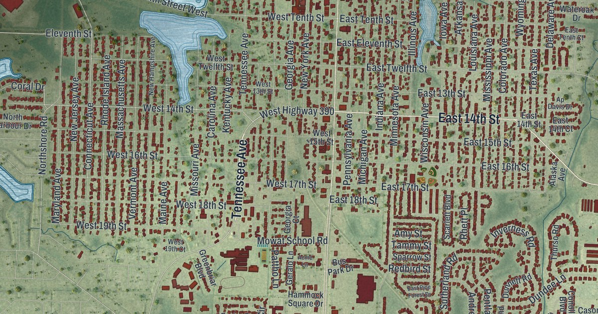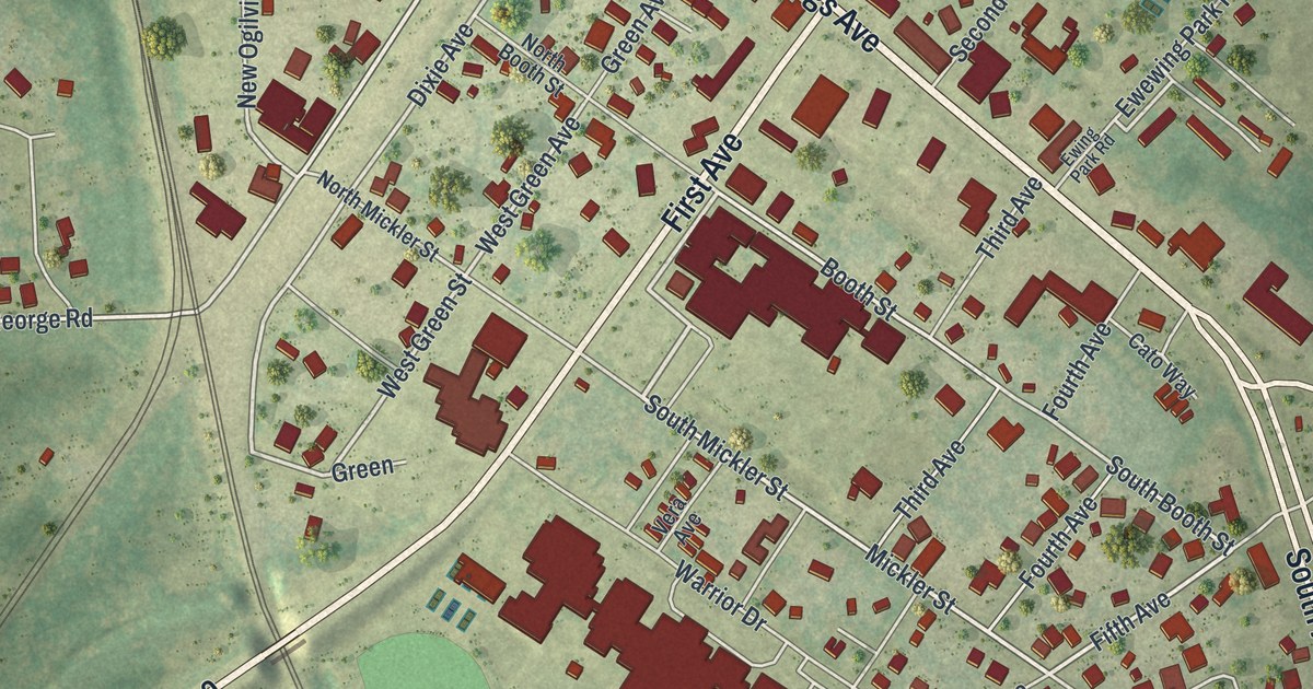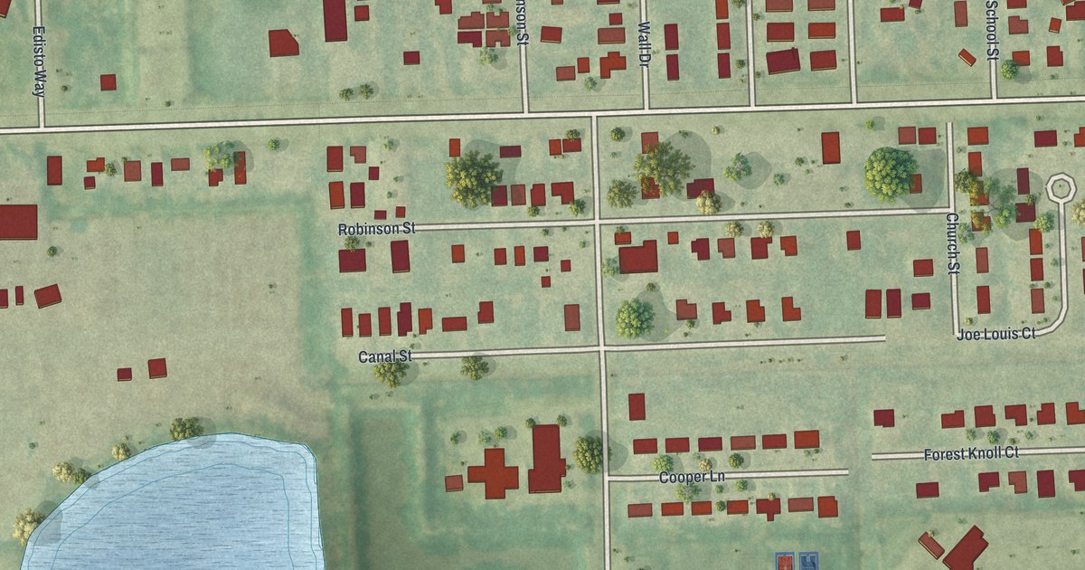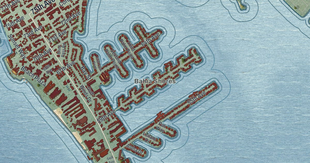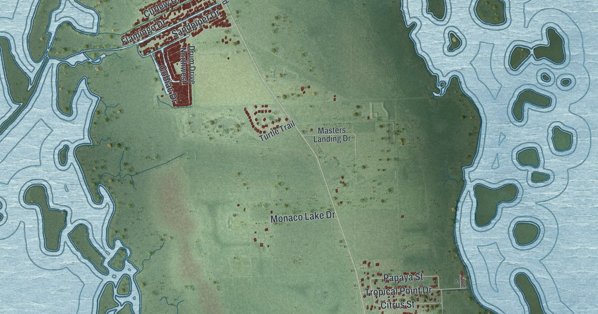
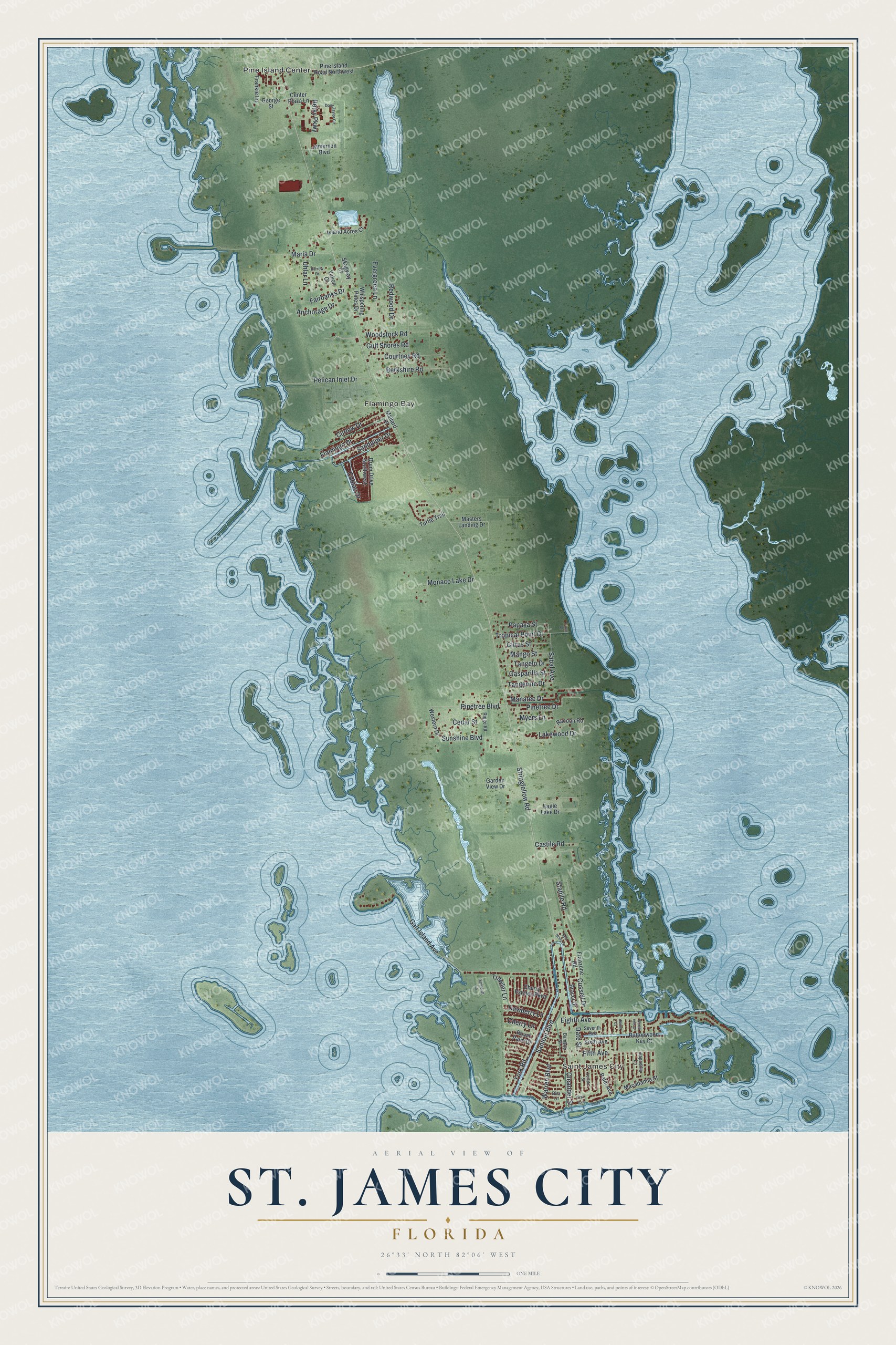
This beautifully detailed map of St. James City, Florida was created in 2026 using aerial imagery combined with modern topographical, census, street and landmark data. It's a modern aerial view of St. James City in Lee County, Florida, that combines modern data with a vintage aesthetic. The roads feature printed names, and if you look closely you can find your exact house accurately shown in its correct location.
Explore an aerial view of St. James City, Florida
On this map you'll find Saint James City, Flamingo Bay, Pine Island Center, Fifth Avenue, Sandpiper Drive, Galt Island Avenue, Papaya Street, Stringfellow Road, Maria Drive, Eighth Avenue, York Road, Oleander Street, and more. Each red shape is a building, so zoom in on the preview and look for yours.
Here is a piece of St. James City history. St. James City grew from the St. James-on-the-Gulf Corporation, formed in 1885 at the St. James Hotel in Jacksonville to develop the southern shore of Pine Island. By Lee County's first tax roll in 1887 it owned 3,872 acres, the entire southern end of the island, where it laid out a town with streets 80 and 60 feet wide. That's from the Museum of the Islands.
St. James City is a community in Lee County. The Census Bureau counted 3,876 people here in 2020.
Take a closer look at the St. James City map
Names on this map
These names are printed on this map.
Places: Saint James City, Flamingo Bay and Pine Island Center.
Streets and roads: Fifth Avenue, Sandpiper Drive, Galt Island Avenue, Papaya Street, Stringfellow Road, Maria Drive, Eighth Avenue, York Road, Oleander Street, Sanibel Boulevard, Stabile Road, Pelican Inlet Drive.
More street names, A to Z
Anchorage Drive, Bamboo Street, Barrow Drive, Berkshire Road, Betsy Parkway, Bracci Drive, Buttonwood Key Court, Castile Road, Cedar Street, Center Plaza Lane, Cherry Estates Parkway, Cherry Lane, Citrus Street, Cobiac Drive, Courtney Road, Cove Street, Curlew Drive, Cussell Drive, Date Street, Dewberry Lane, Doug Taylor Circle, Drum Drive Northwest, Eagle Lake Drive, Evergreen Lane, Fairbanks Drive, First Avenue, Flamingo Drive, Frankie Lane, Franzone Road, Garden View Drive, Gasparilla Street, George Street, Gulf Shores Road, Heron Court, Island Acres Court, Jamerson Boulevard, Lakewood Drive, Lemon Street, Macadamia Street, Mallard Place, Manatee Drive, Mango Street, Masters Landing Drive, Monaco Lake Drive, Myers Lane, North Ibis Court, Palm Avenue, Pine Island Road Northwest, Pinetree Boulevard, Pinetree Drive, Racoon Road, Redwood Drive, Ridge Road, Rita Lane, Royal Palm Drive, Sabal Avenue, Sapodilla Lane, Sea Holly Lane, Seventh Avenue, Sixth Avenue, Skagway Court, Spindrift Lane, Sunshine Boulevard, Tangelo Drive, Tangerine Drive, Trawler Lane, Tropical Point Drive, Turtle Trail, Uhlar Lane, Warren Boulevard, Western Drive, Whispering Pines Drive, Woodstock Road, Yukon Court.
See it on a wall
The St. James City map as a framed print. Swipe for more.


Created by KNOWOL in 2026. The buildings are small red shapes, the roads carry their printed names, and shaded relief shows the shape of the land. The title panel reads "AERIAL VIEW OF ST. JAMES CITY, FLORIDA" with 26°33' NORTH 82°06' WEST.
It suits a den, a classroom or a front hall, and it makes a gift for anyone with St. James City roots. Open the preview and find the block you know. See sizes and frames for the St. James City map.