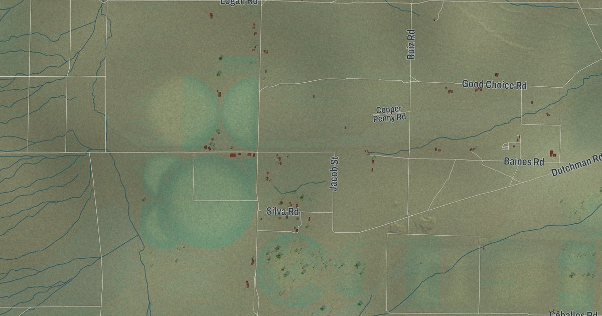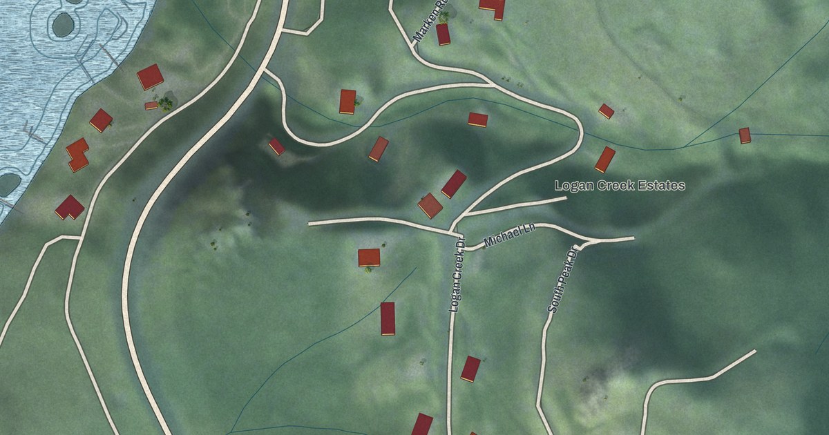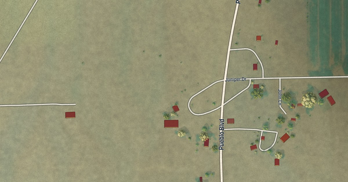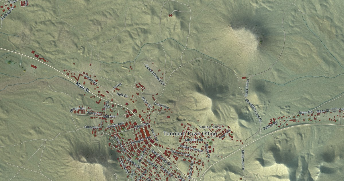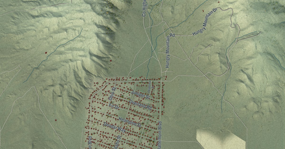
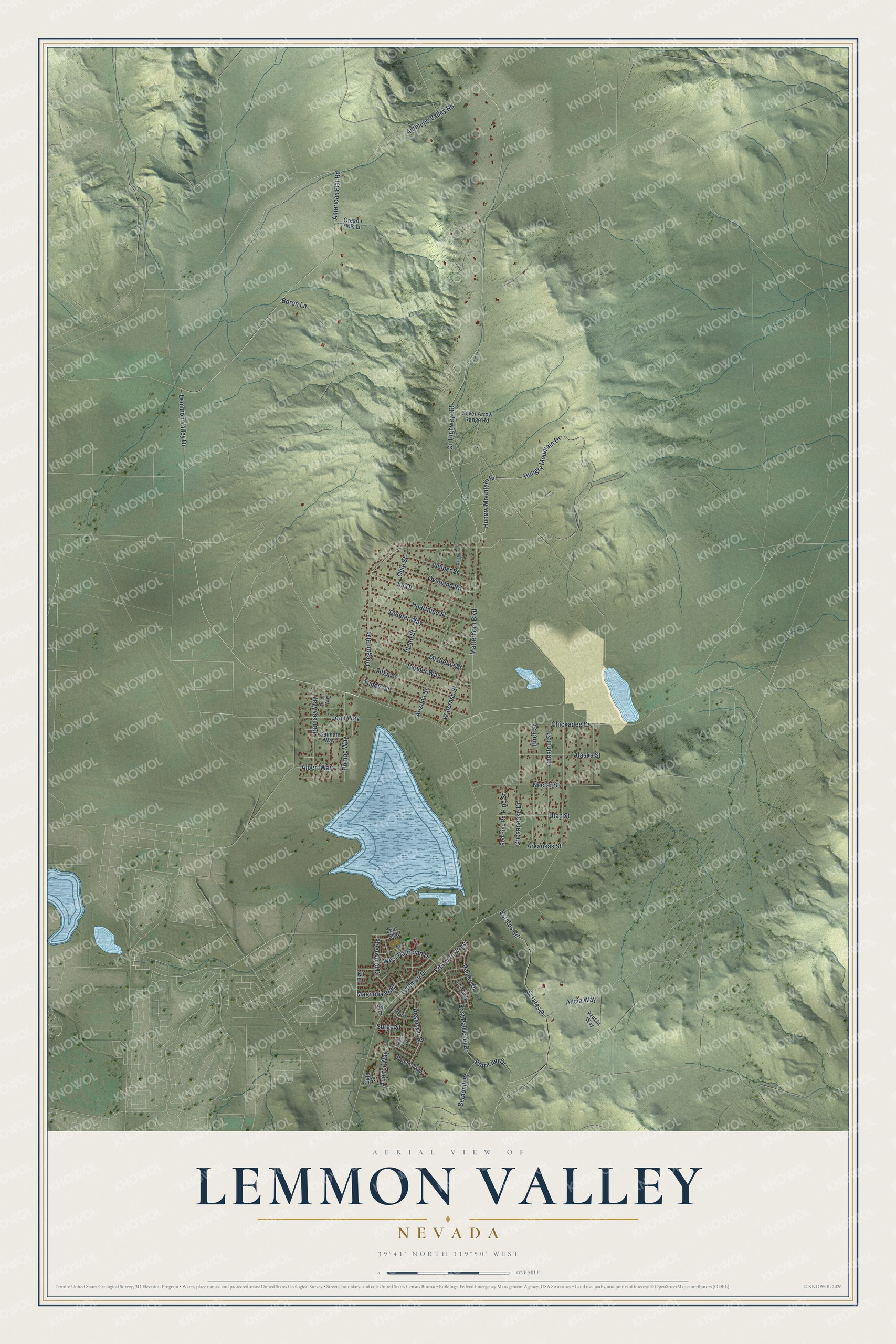
This beautifully detailed map of Lemmon Valley, Nevada was created in 2026 using aerial imagery combined with modern topographical, census, street and landmark data. It’s a one-of-a-kind view of Lemmon Valley that combines accurate data with a vintage aesthetic. The map shows every building in its true location, many of the roads carry their names, and the shaded topographic relief shows the shape of the land.
Explore an aerial view of Lemmon Valley, Nevada
On the map you’ll find Lemmon Drive, American Flat Road, Lemmon Valley Drive, Oregon Boulevard, Hungry Mountain Drive, Hungry Mountain Road, County Highway 165, Estates Road, Matterhorn Boulevard, East Patrician Drive, Deodar Way, Chesapeake Drive, and more. If you look closely you can even find your house accurately drawn in its correct location. Zoom in on the preview to look for yours.
Did You Know?
From the History of Washoe County: "Lying north of Reno and northeast of Peavine Mountain, Lemmon Valley was named for Fielding Lemmon, who had a fertile ranch there, fed by springs from the mountain. His ranch was an overnight stopping place for travelers." Lemmon Valley was already one of Washoe County's population centers in 1861. In 1889 the legislature granted Fielding Lemmon and others a franchise for a street railway in Reno.
Take a closer look at the Lemmon Valley map
Names on this map
These names are printed on this map.
Streets and roads: Lemmon Drive, American Flat Road, Lemmon Valley Drive, Oregon Boulevard, Hungry Mountain Drive, Hungry Mountain Road, County Highway 165, Estates Road, Matterhorn Boulevard, East Patrician Drive, Deodar Way, Chesapeake Drive.
More street names, A to Z
Alaska Street, Albert Way, Alicia Way, Antelope Valley Road, Aquifer Way, Arizona Street, Arkansas Street, Azucar Way, Bernoulli Street, Birch Street, Boron Lane, Chestnut Street, Chickadee Drive, Deli Street, Dillon Way, Estates Drive, Fir Drive, Fleetwood Drive, Freemont Way, Gate Street, Heartpine Street, Idaho Street, Jean Way, Juniper Street, Kess Way, Kit Court, Lear Boulevard, Magnolia Way, Mistletoe Street, Nectar Street, Ohio Street, Oklahoma Street, Oregon Hills Lane, Overland Road, Palace Drive, Paloma Way, Patrician Drive, Paxton Lane, Pepper Way, Pine Street, Pompe Way, Ramsey Way, Red Pine Road, Reservoir Street, Salman Way, Silver Arrow Range Road, Sitka Street, Surge Street, Tupelo Street, Turbine Way, Utah Street, Waterash Street, West Patrician Drive.
See it on a wall
The Lemmon Valley map as a framed print. Swipe for more.


This beautifully detailed map of Lemmon Valley makes an attractive addition to your office, library, or den, and it can even be used to teach children the geography and history of the area. It also makes a great gift for anyone with Lemmon Valley roots. When you’re done exploring, click here to get your copy of the Lemmon Valley map.