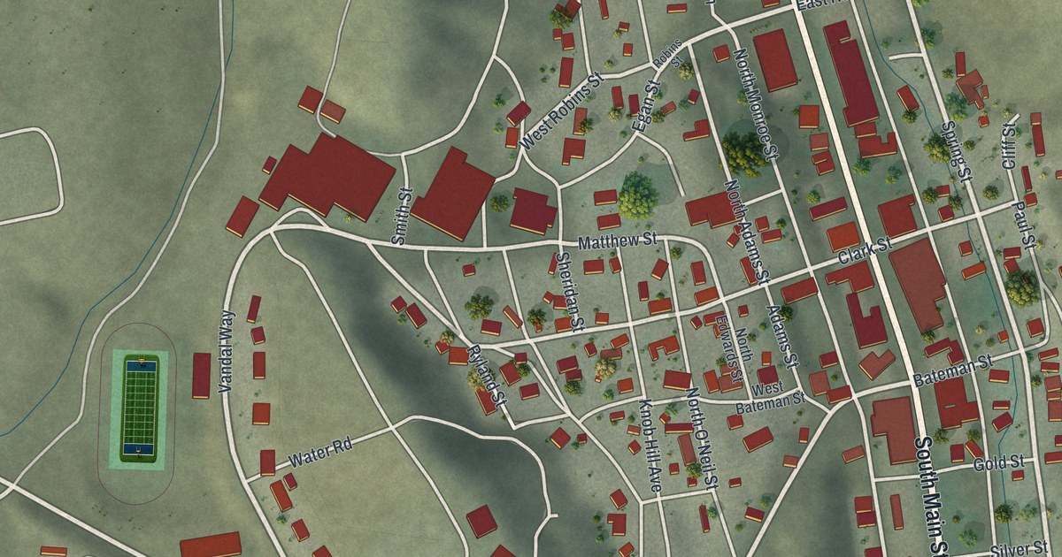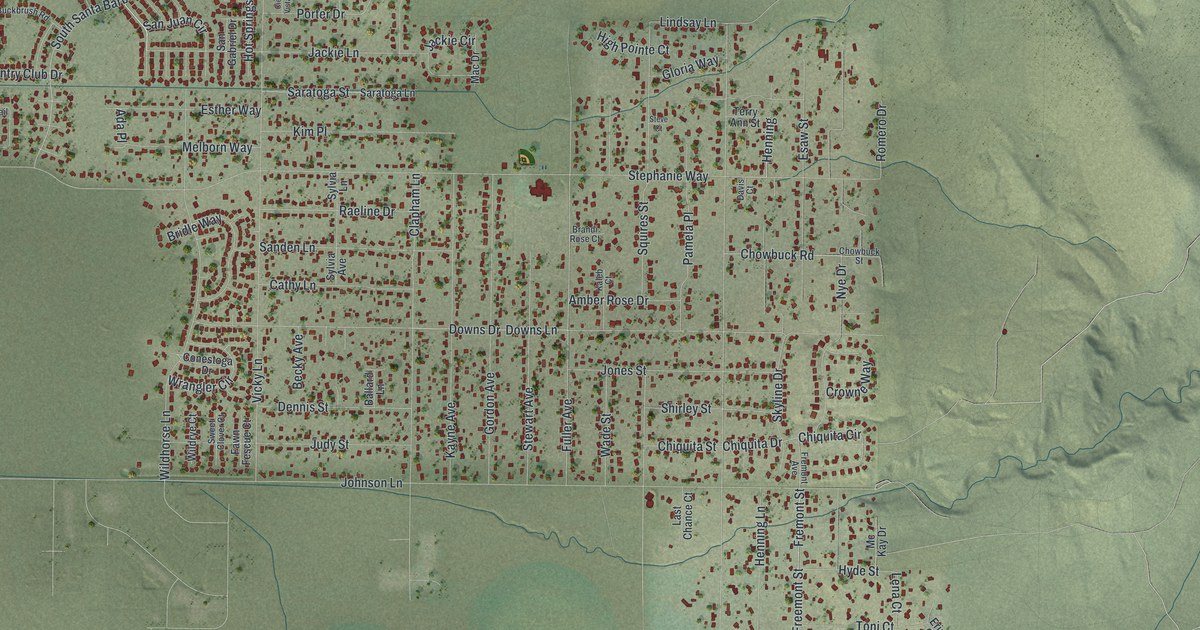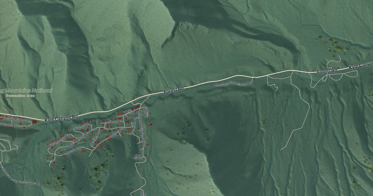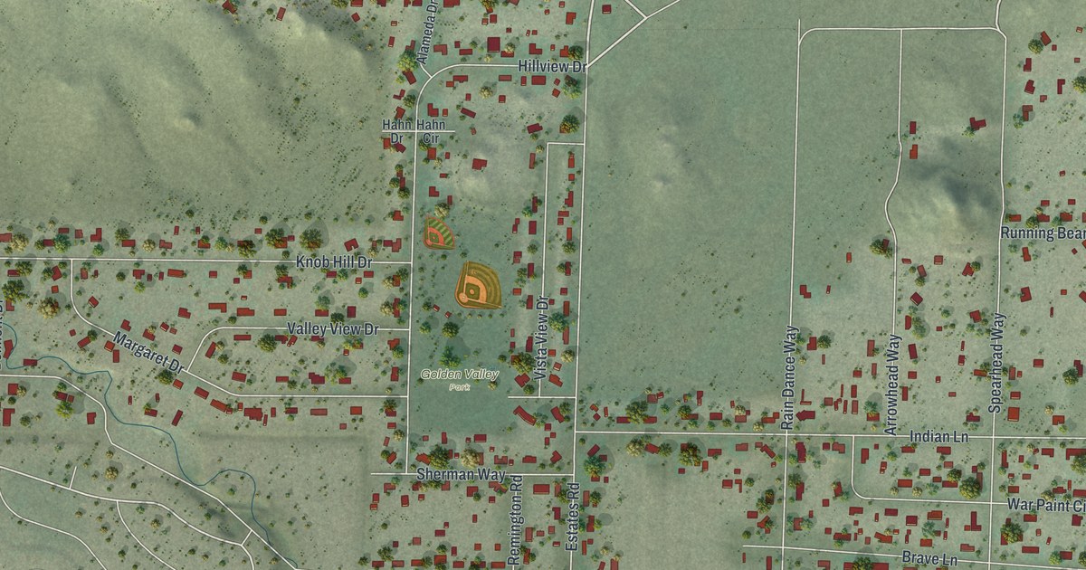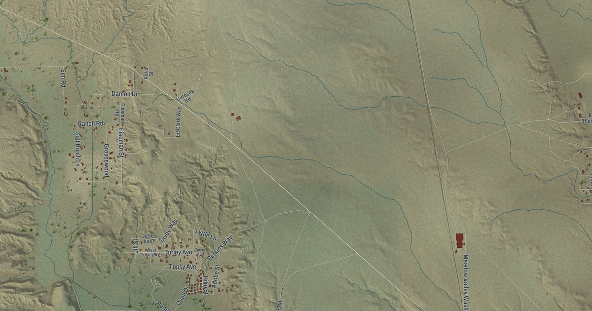
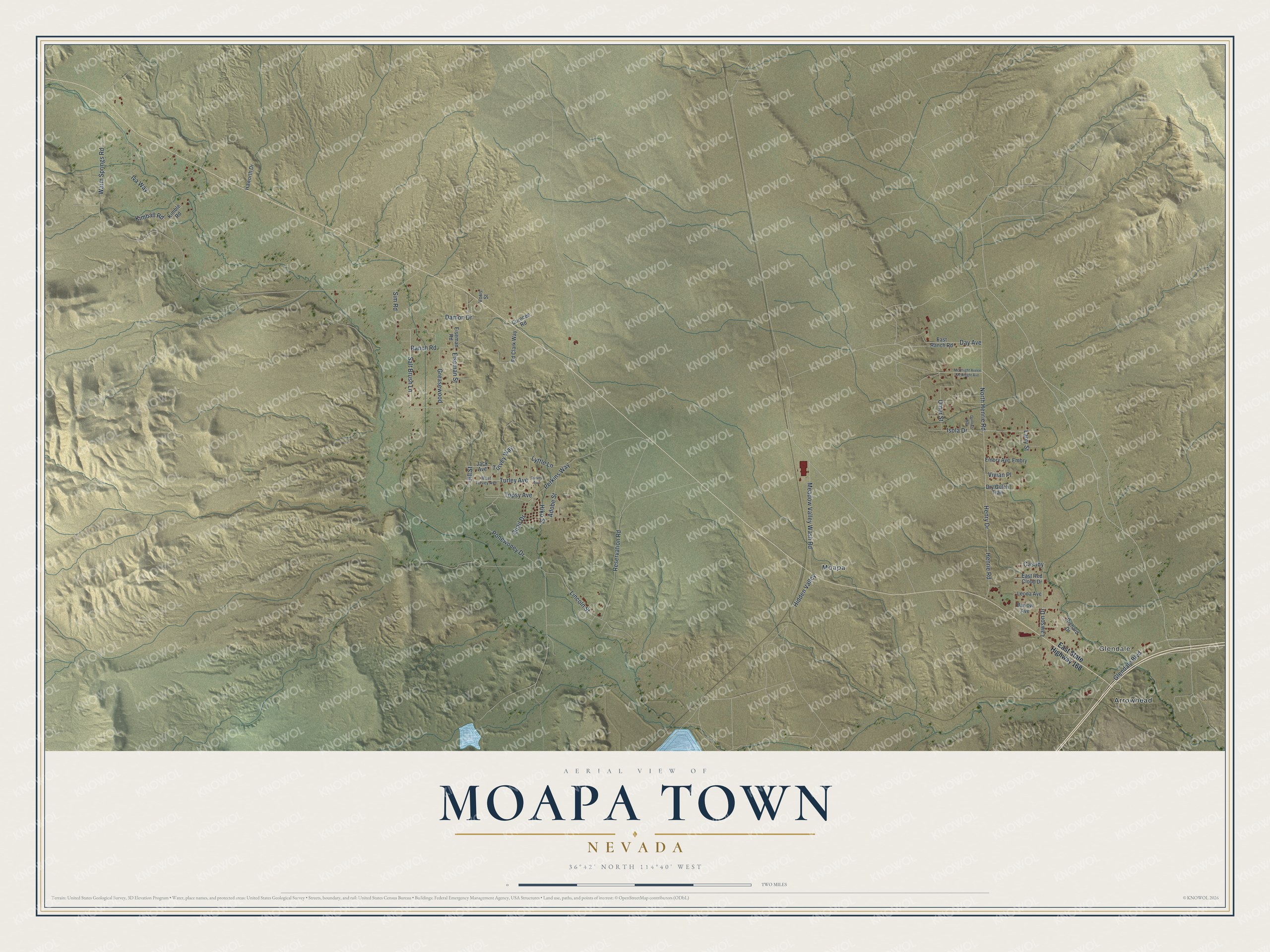
Moapa Town is a community of 1,006 in Clark County, Nevada. This beautifully detailed map of Moapa Town, Nevada was created in 2026 using aerial imagery combined with modern topographical, census, street and landmark data. It's a modern aerial view of Moapa Town in Clark County, Nevada, that combines modern data with a vintage aesthetic. The roads feature printed names, and if you look closely you can find your exact house accurately shown in its correct location.
Explore an aerial view of Moapa Town, Nevada
On this map you'll find Glendale, Moapa, Arrowhead, North Henrie Road, Henry Drive, Glendale Boulevard, Salt Brush Lane, Lyttle Lane, Topsy Avenue, Warm Springs Road, Meadow Valley Wash Road, Henrie Road, and more. Each red shape is a building, so zoom in on the preview and look for yours.
Every town has a first chapter, and Moapa Town is no exception. Before the 1800s the Moapa Paiutes thrived, blending farming with hunting and gathering. They made finely designed water jars, winnowing trays, cradleboards, cooking baskets and seed beaters from plants and animal skins, and their knowledge of plants was remarkable. In 1873 the federal government set aside 39,000 square miles for tribal lands, but by 1875 the reservation had been cut to 1,000 acres. That's from the Moapa Band of Paiutes.
Take a closer look at the Moapa Town map
Names on this map
These names are printed on this map.
Places: Glendale, Moapa and Arrowhead.
Streets and roads: North Henrie Road, Henry Drive, Glendale Boulevard, Salt Brush Lane, Lyttle Lane, Topsy Avenue, Warm Springs Road, Meadow Valley Wash Road, Henrie Road, Ranch Road, Isola Drive, Reservation Road.
More street names, A to Z
Adobe Street, Barlow Avenue, Casaby, Curocee Road, Damon Drive, Day Avenue, Donna's Way, Dry Gulch Trail, East Ranch Road, East Red Cloud Drive, East State Highway 168, Ed Clark Way, Eiseman Road, Eiseman Street, Embry, Embry Avenue, Greasewood, Haworth Drive, Hidden Valley, Hiko Street, Iva Way, Jack Avenue, Jill Street, Kimball Road, Kimble Road, Larry Street, Lawson Drive, Leona Avenue, Lincoln Street, McKnight Aveee McKnight Avenue, Omer Street, Perkins Way, Ponewoney Drive, Quail Drive, Richard Drive, Sim Road, Turley Avenue, Turvey Avenue, Turvey Way, Vivian Place, Voris Street, West Turvey Avenue.
See it on a wall
The Moapa Town map as a framed print. Swipe for more.


Created by KNOWOL in 2026. The buildings are small red shapes, the roads carry their printed names, and shaded relief shows the shape of the land. The title panel reads "AERIAL VIEW OF MOAPA TOWN, NEVADA" with 36°42' NORTH 114°40' WEST.
Hang it in the hallway, the office or the cabin, or give it to someone who left Moapa Town and still calls it home. Open the preview and look for a street you know. See sizes and frames for the Moapa Town map.