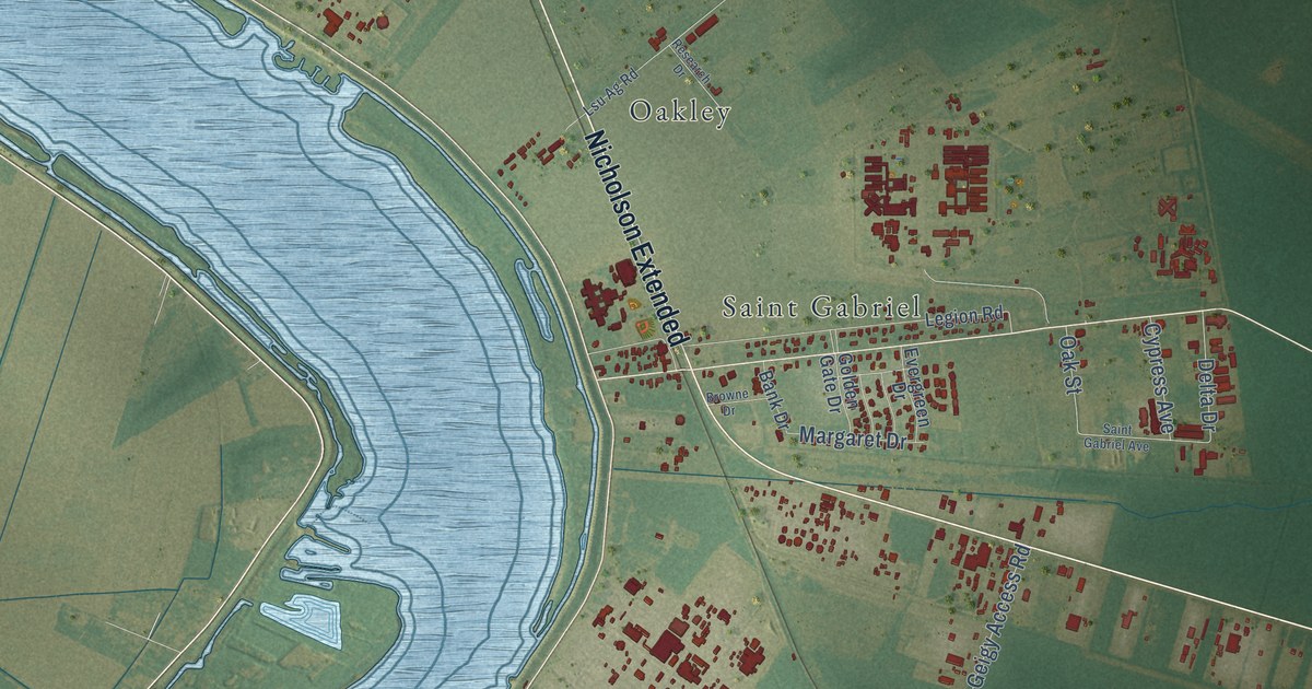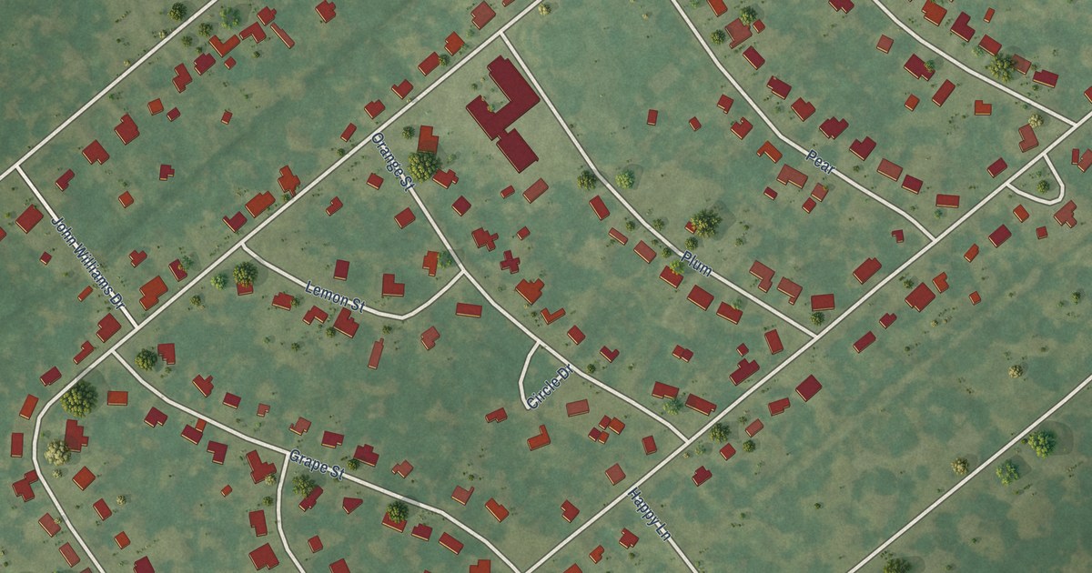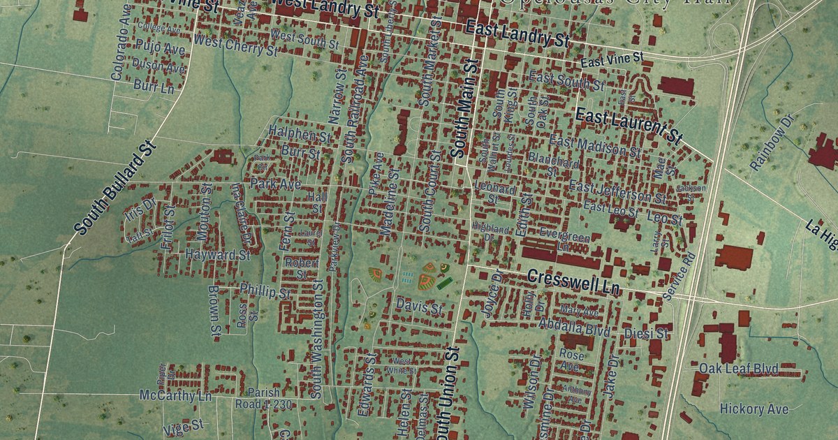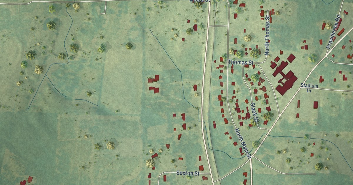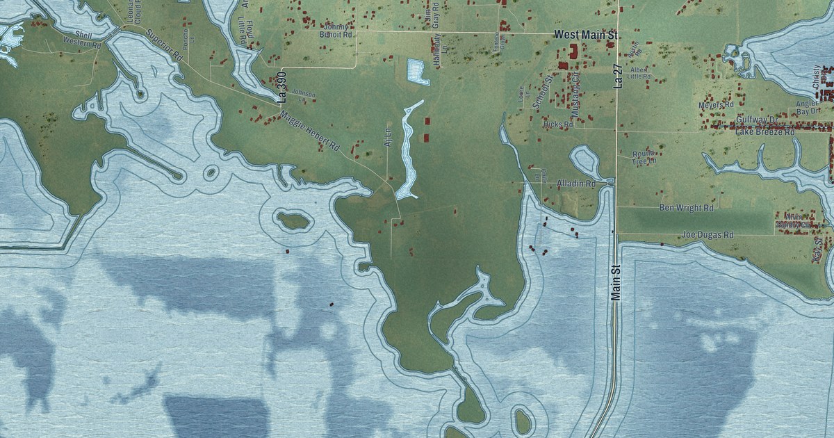
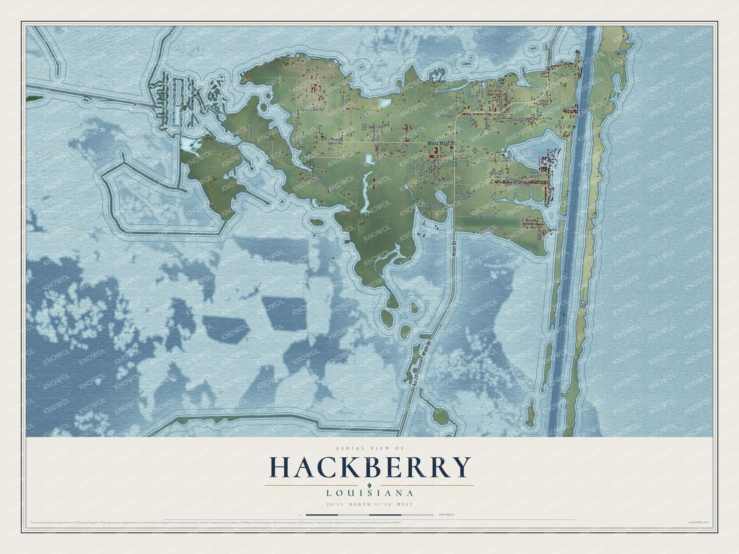
This beautifully detailed map of Hackberry, Louisiana was created in 2026 using aerial imagery combined with modern topographical, census, street and landmark data. It's a modern aerial view of Hackberry in Cameron Parish, Louisiana, that combines modern data with a vintage aesthetic. The roads feature printed names, and if you look closely you can find your exact house accurately shown in its correct location.
Explore an aerial view of Hackberry, Louisiana
On this map you'll find La 27, Main Street, La 390, West Main Street, Taylor Oil Road, Superior Road, Black Lake Road, Lake Breeze Road, Joe Dugas Road, Maggie Hebert Road, Channelview Drive, Alladin Road, and more. Each red shape is a building, so zoom in on the preview and look for yours.
Every town has a first chapter, and Hackberry is no exception. In 1931 fiddler Luderin Darbone's family moved to the oil-field town of Hackberry, where he met guitarist Edwin Duhon. In 1933 Darbone named their band the Hackberry Ramblers, and they brought amplified sound to south Louisiana dance halls, run off the battery of an idling Model T Ford. The Ramblers blended Cajun songs with western swing, and Darbone and Duhon later received a National Heritage Fellowship from the National Endowment for the Arts. That's from the Acadian Museum of Erath.
Hackberry is a community in Cameron Parish. The Census Bureau counted 926 people here in 2020.
Take a closer look at the Hackberry map
Names on this map
These names are printed on this map.
Streets and roads: La 27, Main Street, La 390, West Main Street, Taylor Oil Road, Superior Road, Black Lake Road, Lake Breeze Road, Joe Dugas Road, Maggie Hebert Road, Channelview Drive, Alladin Road.
More street names, A to Z
Aj Lane, Albert Little Road, Alvin Guidry Circle, Amoco Road, Angler Bay Drive, Arthur Lane, Austin Road, Ben Wright Road, Channel Drive, Christy Drive, Clarpha Road, Devall Road, Ellender Lane, Everett Vincent Drive, Floyd Little Road, Fonteno Grove, Gulfway Drive, Halibouty Lane, Hicks Road, Jim Gray Road, Johnny Benoit Road, Johnson Lane, Jordan Lane, Kay Street, Legion Road, Leonard Cloud Road, Loree Lane, Magnolia Road, Meyers Road, Moore Road, Mustang Circle, Oak Lane, Old Town Road, Onile Lane, Pete Seay Circle, Poncho Lane, Portie Drive, Riggs Drive, Riverside Drive, Round Tree Lane, Sam Breaux Road, School Street, Shell Western Road, Sutton Circle, Welch Drive.
See it on a wall
The Hackberry map as a framed print. Swipe for more.


Created by KNOWOL in 2026. The buildings are small red shapes, the roads carry their printed names, and shaded relief shows the shape of the land. The title panel reads "AERIAL VIEW OF HACKBERRY, LOUISIANA" with 29°59' NORTH 93°25' WEST.
Hang it in the hallway, the office or the cabin, or give it to someone who left Hackberry and still calls it home. Open the preview and look for a street you know. See sizes and frames for the Hackberry map.