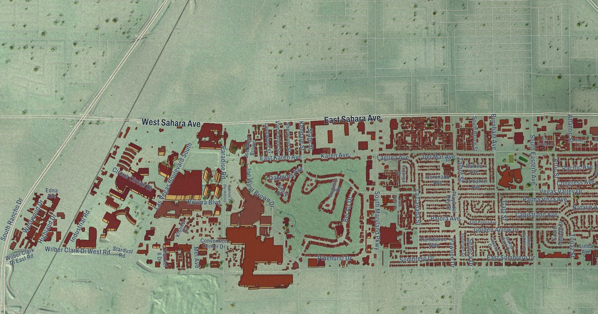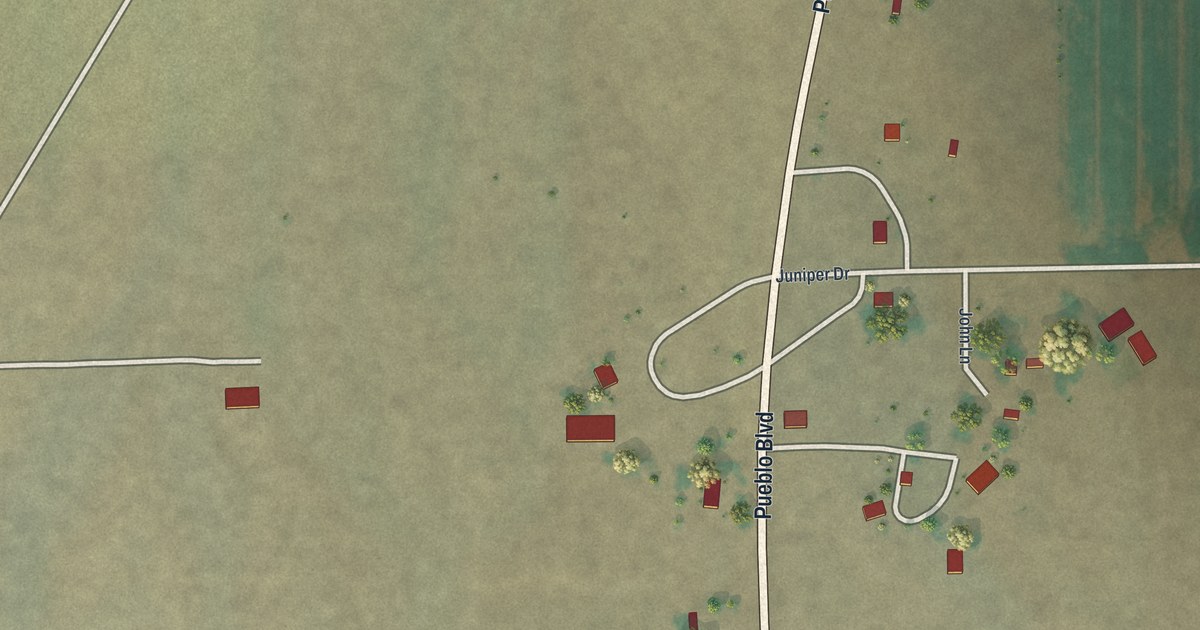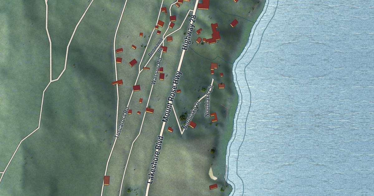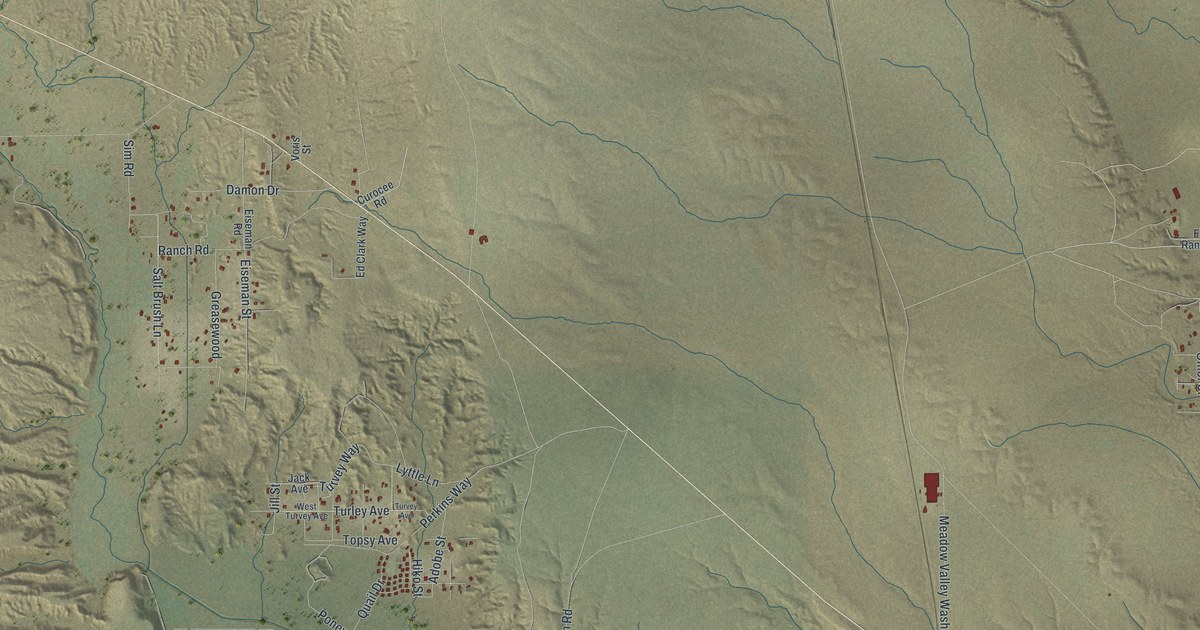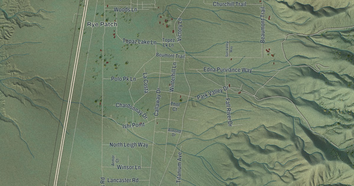
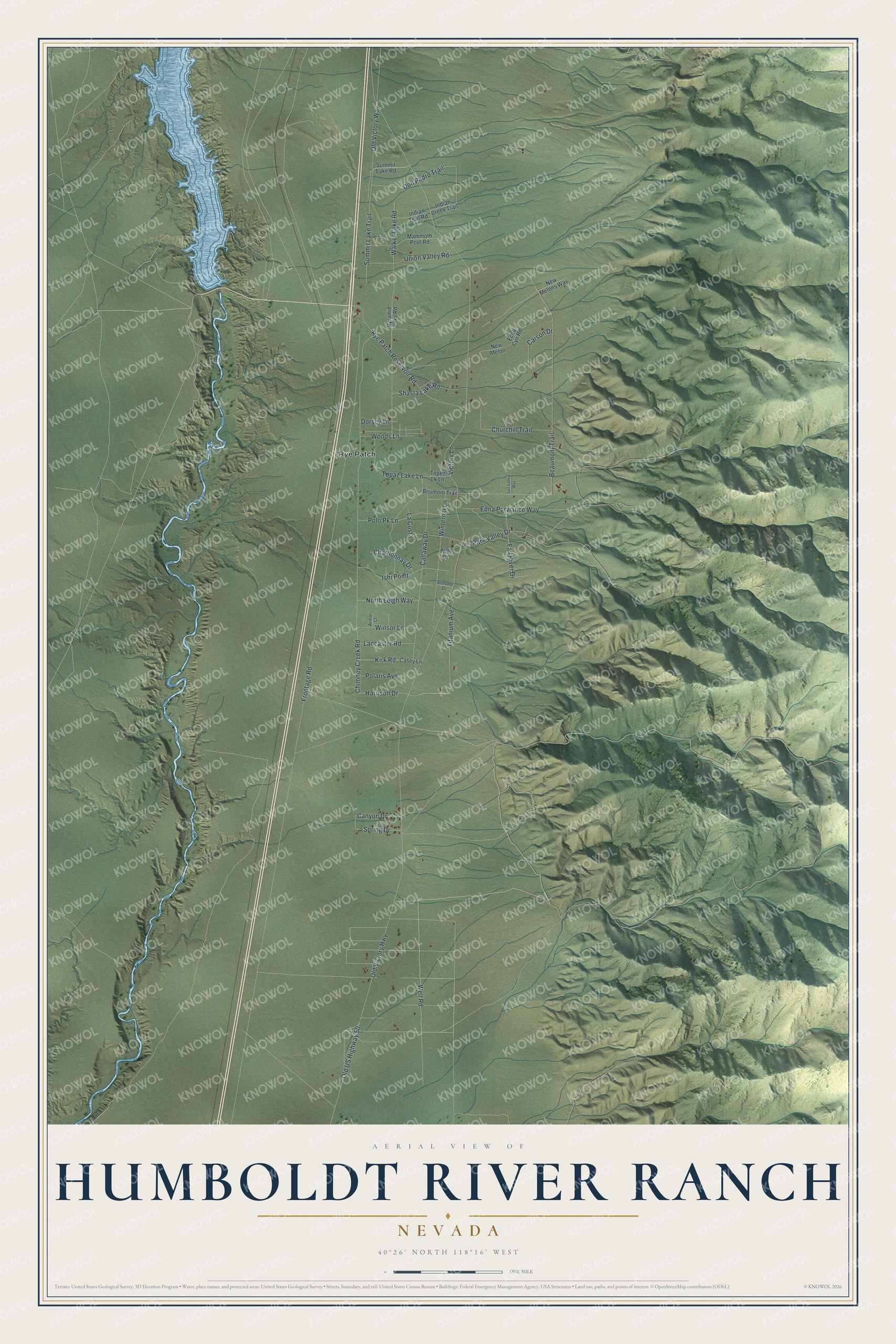
This beautifully detailed map of Humboldt River Ranch, Nevada was created in 2026 using aerial imagery combined with modern topographical, census, street and landmark data. It's a modern aerial view of Humboldt River Ranch in Pershing County, Nevada, that combines modern data with a vintage aesthetic. The roads feature printed names, and if you look closely you can find your exact house accurately shown in its correct location.
Explore an aerial view of Humboldt River Ranch, Nevada
On this map you'll find Rye Patch, Well Road, Topaz Lake Lane, Old Victory Way, Kirk Road, Old Victory Highway, Frontage Road, Chimney Creek Road, Beaumont Trail, Walker Lake Road, Callaway Drive, Rye Patch Reservoir Road, and more. Each red shape is a building, so zoom in on the preview and look for yours.
Here is a piece of Humboldt River Ranch history. Humboldt River Ranch is a 10,000-acre subdivision. Its two thousand fee-simple lots came in sizes of ten, five, two and a half and one and a half acres, each with its own water right, and the Ranch ran a resort for its owners. That's from the Moon Nevada Handbook.
Humboldt River Ranch is a community in Pershing County. The Census Bureau counted 249 people here in 2020.
Take a closer look at the Humboldt River Ranch map
Names on this map
These names are printed on this map.
Places: Rye Patch.
Streets and roads: Well Road, Topaz Lake Lane, Old Victory Way, Kirk Road, Old Victory Highway, Frontage Road, Chimney Creek Road, Beaumont Trail, Walker Lake Road, Callaway Drive, Rye Patch Reservoir Road, Winterhill Lane.
More street names, A to Z
Almond Drive, Armor Court, Beumont Trail, Canyon Drive, Carson Drive, Casey Lane, Chardonnay Drive, Churchill Trail, Don Pedro Trail, Dorsey Lane, Echo Cyn Road, Edna Purviance Way, Fall River Drive, Harrison Drive, Indian Creek Trail, Indian Trail Road, Ishi Point, La Costa, Lancaster Road, Mammoth Pool Road, New Melon, New Melons Way, North Leigh Way, Old US Highway 50, Park Valley Drive, Polaris Avenue, Polo Pk Lane, Pyramid Lake Road, Shasta Lake Road, Spring Drive, Summit Lake Road, Summit Lake Trail, Sun Valley Way, Thor Court, Titanium Avenue, Topez Lk Lane, Union Valley Road, Victory Lane, Winsor Lane, Woods Lane.
See it on a wall
The Humboldt River Ranch map as a framed print. Swipe for more.


Created by KNOWOL in 2026. The buildings are small red shapes, the roads carry their printed names, and shaded relief shows the shape of the land. The title panel reads "AERIAL VIEW OF HUMBOLDT RIVER RANCH, NEVADA" with 40°26' NORTH 118°16' WEST.
It suits a den, a classroom or a front hall, and it makes a gift for anyone with Humboldt River Ranch roots. Open the preview and find the block you know. See sizes and frames for the Humboldt River Ranch map.