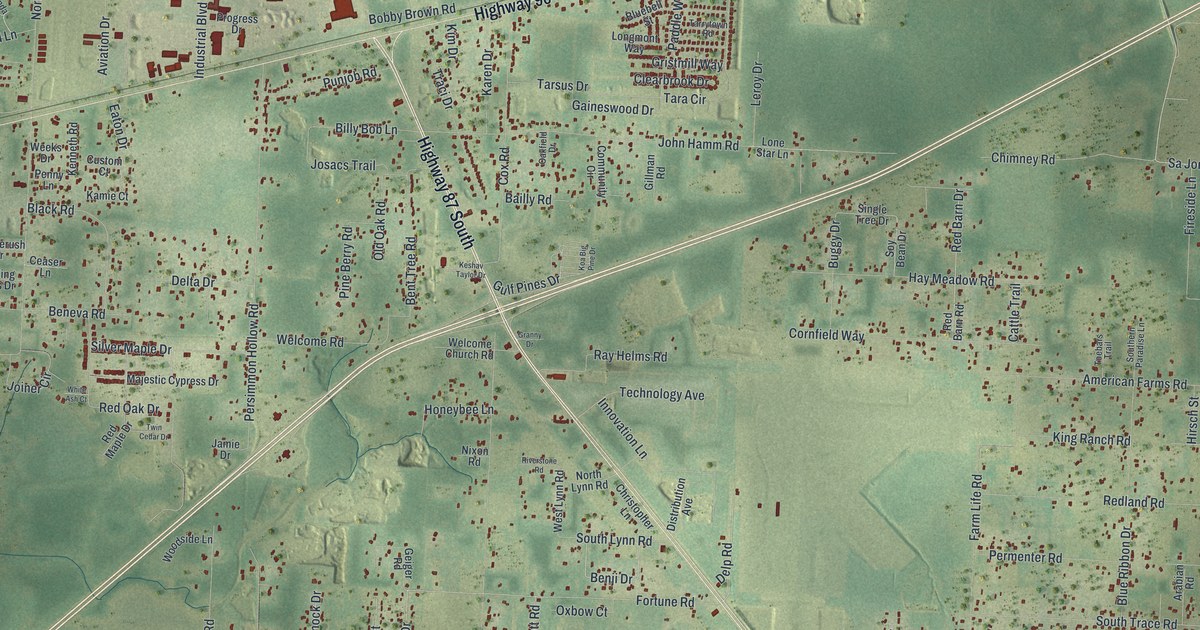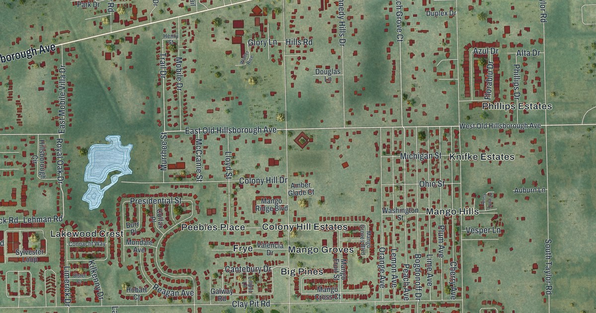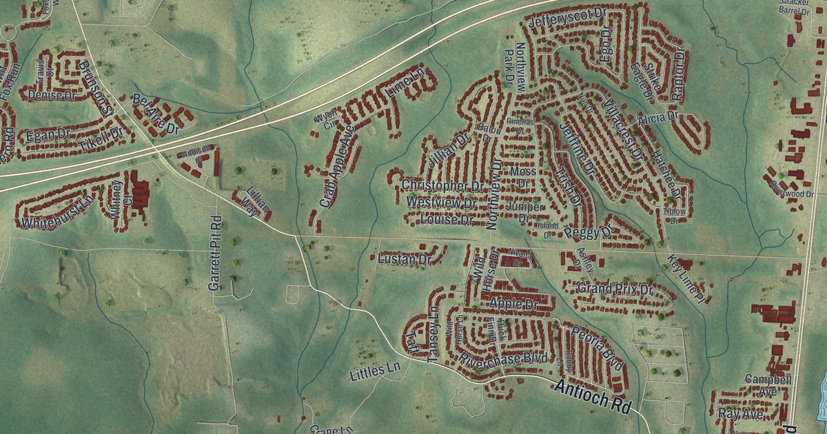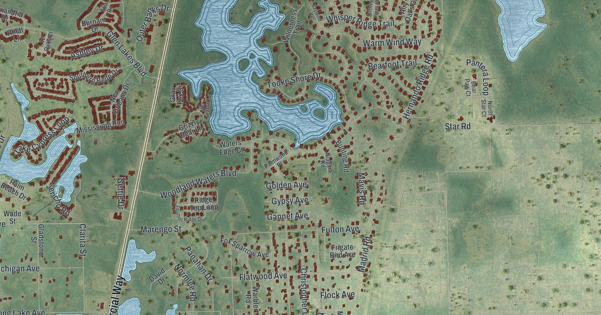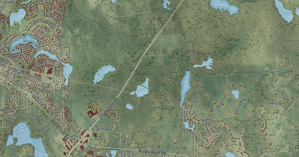
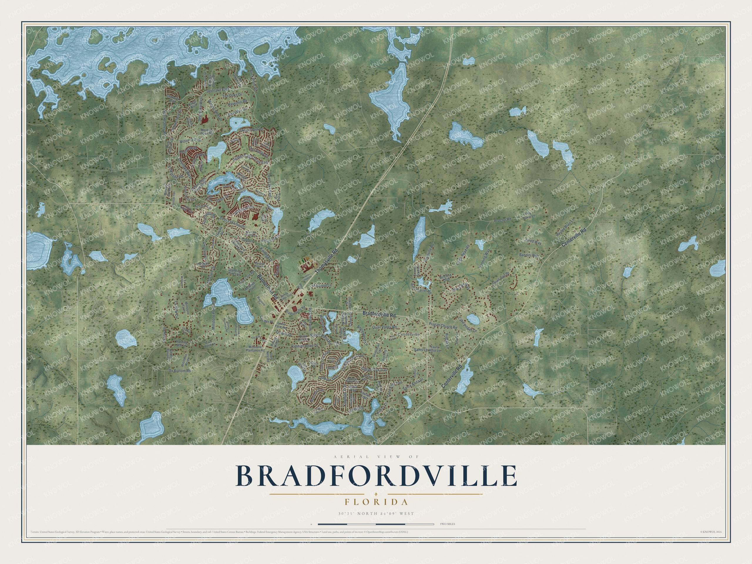
Bradfordville is a community of 19,183 in Leon County, Florida. This beautifully detailed map of Bradfordville, Florida was created in 2026 using aerial imagery combined with modern topographical, census, street and landmark data. It's a modern aerial view of Bradfordville in Leon County, Florida, that combines modern data with a vintage aesthetic. The roads feature printed names, and if you look closely you can find your exact house accurately shown in its correct location.
Explore an aerial view of Bradfordville, Florida
On this map you'll find Centerville, Thomasville Road, Centerville Road, Bradfordville Road, Bannerman Road, Deer Lake East, Deerlake East, Deer Lake West, Deerlake West, Shoal Creek Drive, Deer Lake South, Proctor Road, and more. Each red shape is a building, so zoom in on the preview and look for yours.
Here is a piece of Bradfordville history, in the words of the record. The Tallahassee Magazine puts it this way: "Dr. Edward Bradford came in 1832, and soon was followed by his three brothers, Thomas, Henry and Richard. All were well-educated North Carolinians, descended from the Mayflower Bradfords of Massachusetts." The Bradfordville community became the brothers' namesake.
Take a closer look at the Bradfordville map
Names on this map
These names are printed on this map.
Places: Centerville.
Streets and roads: Thomasville Road, Centerville Road, Bradfordville Road, Bannerman Road, Deer Lake East, Deerlake East, Deer Lake West, Deerlake West, Shoal Creek Drive, Deer Lake South, Proctor Road, Bull Headley Road.
More street names, A to Z
Acorn Ridge Trail, Anglewood Lane, Ansel Ferrel Road, Apollo Trail, Aqueduct Court, Bandits Run, Banning Way, Barrow Hill Trail, Bass Bay Drive, Beech Ridge Trail, Bird Dog Point, Bird Song Trail, Blue Quill Drive, Bowling Green Drive, Briarcreek Road North, Briarcreek Road South, Buck Haven Trail, Buck Point Road, Camero Drive, Cavalcade Trail, Cedar Bluff, Cedarwood Trail, Chadwick Way, Charles Samuel Drive, Chickasaw Trail, Citation Trail, Cobb Drive, Colonel Scott Drive, Copperfield Circle, Count Fleet Trail, Cripple Creek Drive, Deer Valley Drive, Donerail Trail, Duck Call Court, Duck Cove Road, Eagles Ridge Drive, Ed Wilson Lane, Evening Star Lane, Folkstone Road, Gallant Fox Trail, Gates Drive, Glen Abby Drive, Glen Eagle Way, Glenmore Drive, Glenoak Trail, Golden Eagle Drive East, Golden Eagle Drive West, Greenland Drive, Grenville Road, Greystone Drive, Haverhill Road, Haylee Blair Lane, Heathrow Drive, Hollis Street, Horseshoe Trail, Hunters Ridge Trail, Jared Way, Jessies Rosemary Road, Jet Pilot Trail, Journeys End, Kauai King Trail, Killearn Point Court, Kimmer Rowe Drive, Kingman Trail, Kinhega Drive, Kinhega Lodge Drive, Lake Iamonia Drive, Lake Pisgah Drive, Lauder Place, Laura Rose Lane, Lawton Chiles Lane, Leigh Read Road, Lilburn Court, Lilly Baker Lane, Loma Farm Road, Lookout Trail, Lord Murphy Trail, Maclean Road, Magazine Circle, Majestic Prince Trail, McBride Point, McClure Drive, McDougal Court, Millstone Farms, Millstone Plantation Road, Millstone Point Road, Millwood Lane, Minnow Creek Drive, Montrose Trail, Morning Dove Road, Morning Star Lane, Oakdown Drive, Ocleon Drive, Old Water Oak Road, Owls Nest Road, Ox Bottom Road, Ox Bow Circle, Ox Bow Road, Ox Bow Trce, Pablo Creek Way, Pimlico Court, Pimlico Drive, Pine Fair Way, Pisgah Church Road, Pisgah Lane, Quail Call Drive, Quail Rise Court, Quail Valley Road, Rabbit Pond Road, Reynolds Drive, Rhea Road, Rolling Hill Drive, Rosemont Ridge Road, Royal Isle Drive, Sams Lane, Santa Anita Drive, Seabiscuit Trail, Shady Lane, Standing Pines Lane, Stone Street Trail, Swaps Trail, Sybil Court, Tekesta Drive, Ten Oaks Drive, Thunder Hill Trail, Tim Tam Trail, Tisha Drive, Tom John Lane, Tomy Lee Trail, Tuscavilla Road, Two Pond Lane, Valley Creek Drive, Velda Dairy Drive, Velda Dairy Road, Warner Drive, Wateroak Plantation Road, Waters Meet Drive, Wharton Circle, Widefield Road, Willow Run Drive, Winged Foot Drive, Witchtree Acres.
See it on a wall
The Bradfordville map as a framed print. Swipe for more.


Created by KNOWOL in 2026. The buildings are small red shapes, the roads carry their printed names, and shaded relief shows the shape of the land. The title panel reads "AERIAL VIEW OF BRADFORDVILLE, FLORIDA" with 30°35' NORTH 84°09' WEST.
It suits a den, a classroom or a front hall, and it makes a gift for anyone with Bradfordville roots. Open the preview and find the block you know. See sizes and frames for the Bradfordville map.