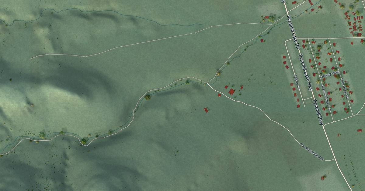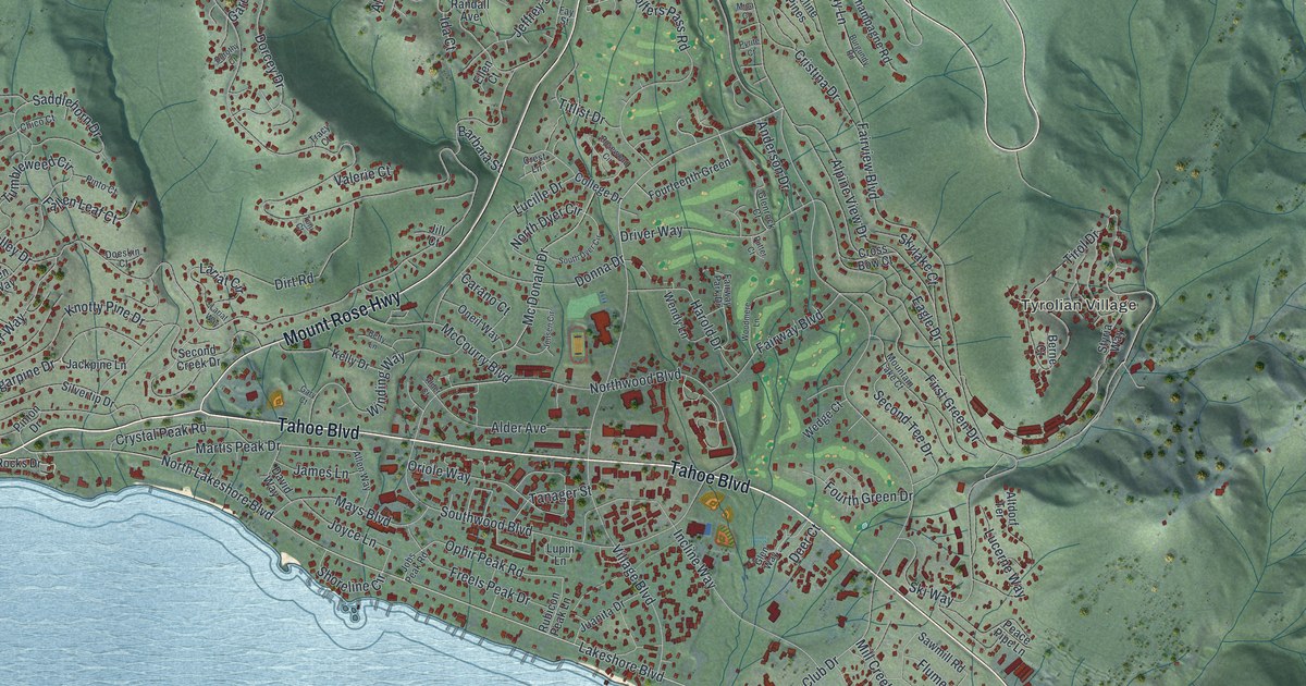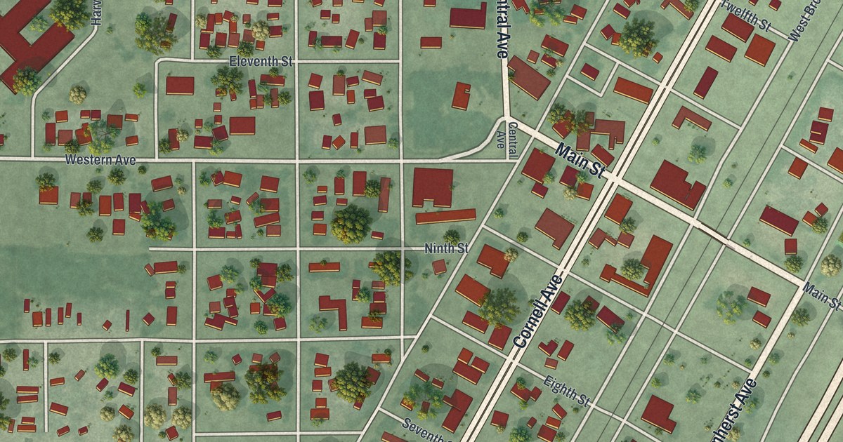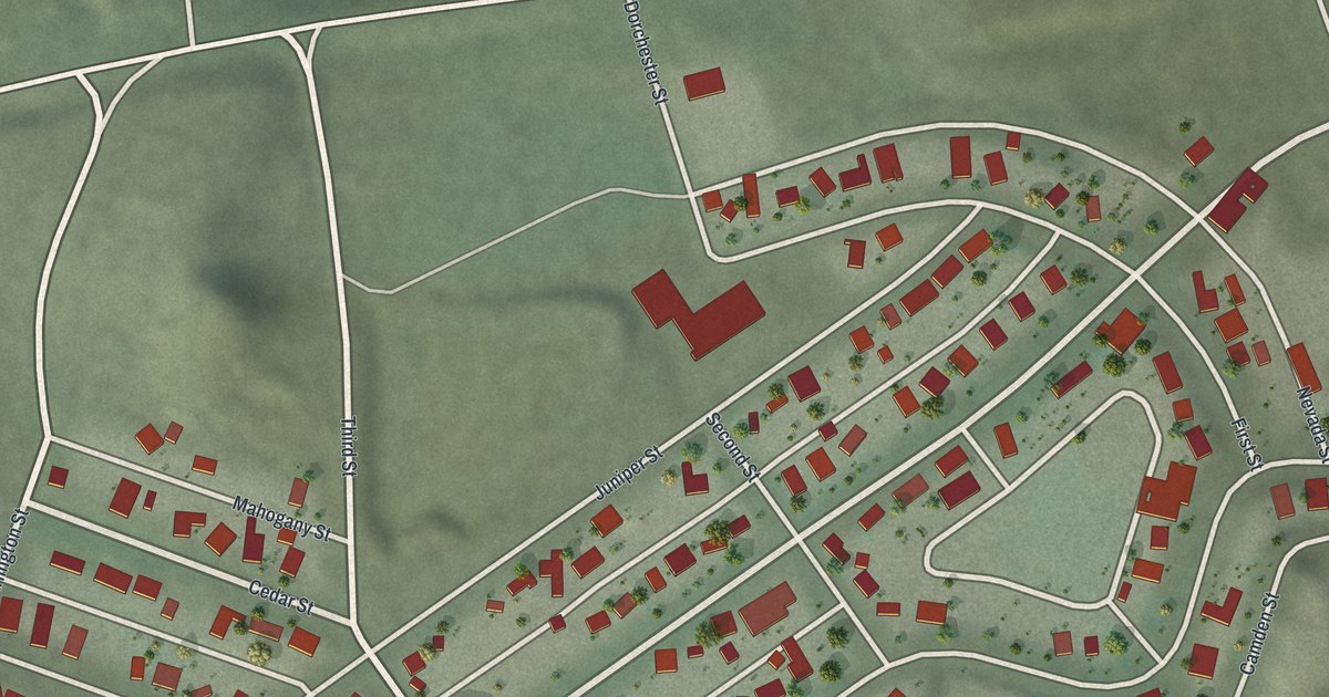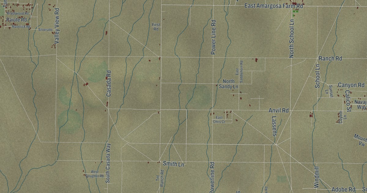
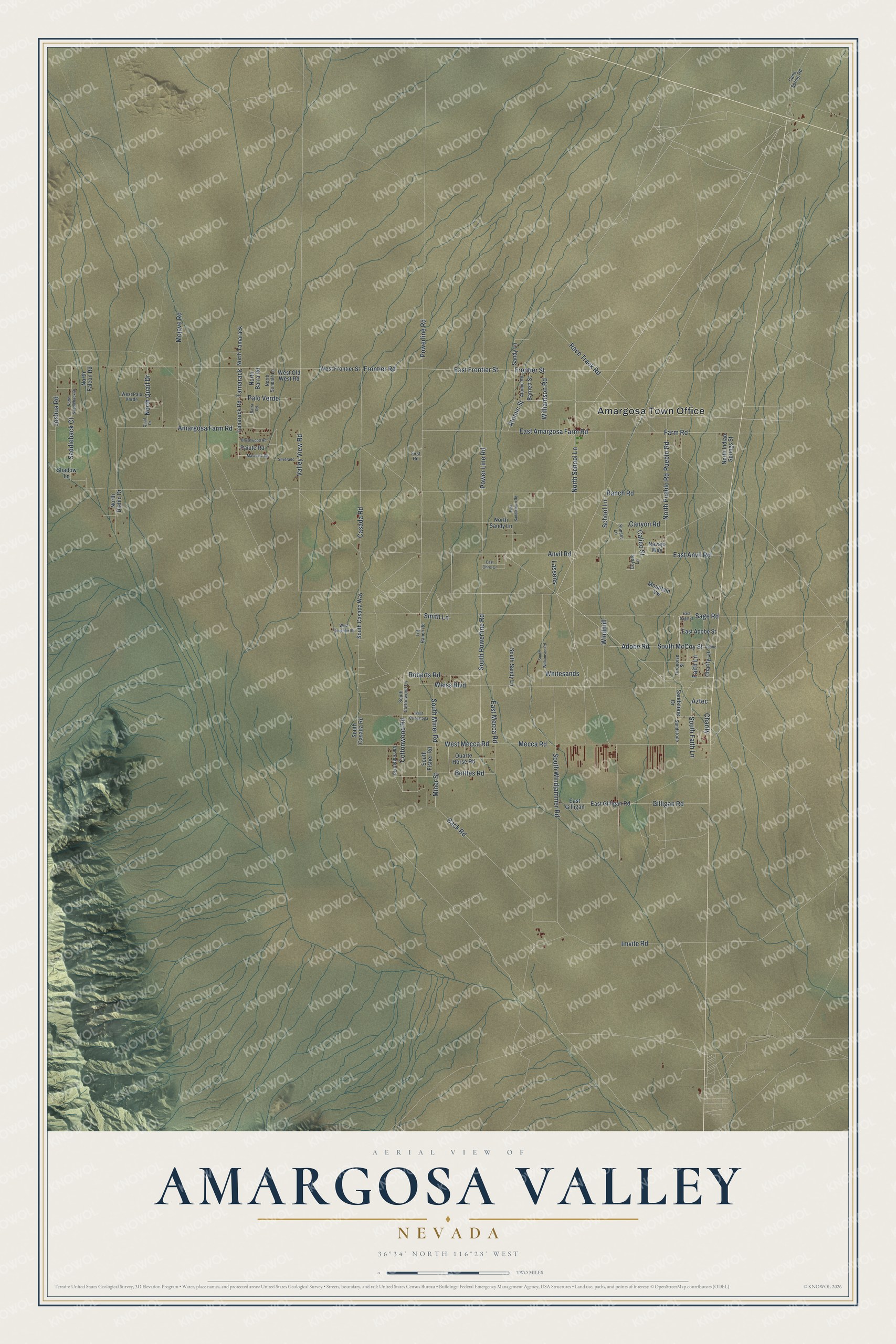
This beautifully detailed map of Amargosa Valley, Nevada was created in 2026 using aerial imagery combined with modern topographical, census, street and landmark data. It’s a one-of-a-kind view of Amargosa Valley that combines accurate data with a vintage aesthetic. The map shows every building in its true location, many of the roads carry their names, and the shaded topographic relief shows the shape of the land.
Explore an aerial view of Amargosa Valley, Nevada
On the map you’ll find Amargosa Town Office, along with Farm Road, Atomic Street, North School Lane, School Lane, Williamson Road, Frontier Street, Frontier Road, South Powerline Road, Powerline Road, Roberts Road, and more. If you look closely you can even find your house accurately drawn in its correct location. Zoom in on the preview to look for yours.
Did You Know?
One evening in 1960, at their kitchen table, brothers Hank and Robert Records decided to form an electric cooperative, because the power company said bringing service to the valley cost too much. With Hank leading the effort, the cooperative won rights to Hoover Dam power, and the power was turned on in the Amargosa Valley in 1963. Gordon Bettles had worked with them to win that power, and his funeral fell on the day it reached Lathrop Wells, as the town was then called. As his procession passed through, the lights there were dimmed in tribute. That's from the Nye County Town History Project.
Take a closer look at the Amargosa Valley map
Names on this map
These names are printed on this map.
Places: Amargosa Town Office.
Streets and roads: Farm Road, Atomic Street, North School Lane, School Lane, Williamson Road, Frontier Street, Frontier Road, South Powerline Road, Powerline Road, Power Line Road, Roberts Road, Windmill.
More street names, A to Z
Adobe, Adobe Road, Amargosa Farm Road, Anvil Road, Atomic Road, Aztec, Back Road, Barnett Street, Barra Road, Bettles Road, Brushwood Road, Calico Street, Cane Spring Road, Canyon Road, Casada Road, Charity, Charity Lane, Cottonwood Road, Coyote Lane, East Adobe Street, East Amargosa Farm Road, East Anvil Road, East Chris Cr, East Frontier Street, East Gilligan, East Gilligan Road, East Mecca Road, East Saddlehorn Road, East Sage Street, Faith Lane, First Road, Gilligan Road, Imvite Road, Joshua Road, Lassens, Maverick Road, Mecca Road, Miner Street, Mojave Road, Mountain Vw, Navajo Way, North Barra Road, North Diablo Drive, North Falcon Road, North Indian Springs Street, North Pueblo Road, North Quail Drive, North Saddleback Drive, North Sandy Lane, North Sundale Lane, North Tamarack, Paiute Road, Palo Verde, Pueblo Road, Quail Drive, Quarte Horse Road, Race Track Road, Ranch Road, Saddleback Court, Sage Road, Sandstone, Sandstone Drive, Sandy Lane, Shadow Lane, Silverado, Smith Lane, South Casada Road, South Casada Way, South Cottonwood Lane, South Faith Lane, South Fisher Road, South McCoy Street, South Miner Road, South Sandy Lane, South Williamson Road, South Windjammer Road, Sunset Lane, Tamarack, Tamarack Road, Tnt Ranch Road, Turquoise Street, Valley View Road, Van Patten Road, Weiss Boulevard, West Conestoga, West Coughlin Road, West Frontier Street, West Mecca Road, West Old West Road, West Palo Verde, Whitesands.
See it on a wall
The Amargosa Valley map as a framed print. Swipe for more.


This beautifully detailed map of Amargosa Valley makes an attractive addition to your office, library, or den, and it can even be used to teach children the geography and history of the area. It also makes a great gift for anyone with Amargosa Valley roots. When you’re done exploring, click here to get your copy of the Amargosa Valley map.