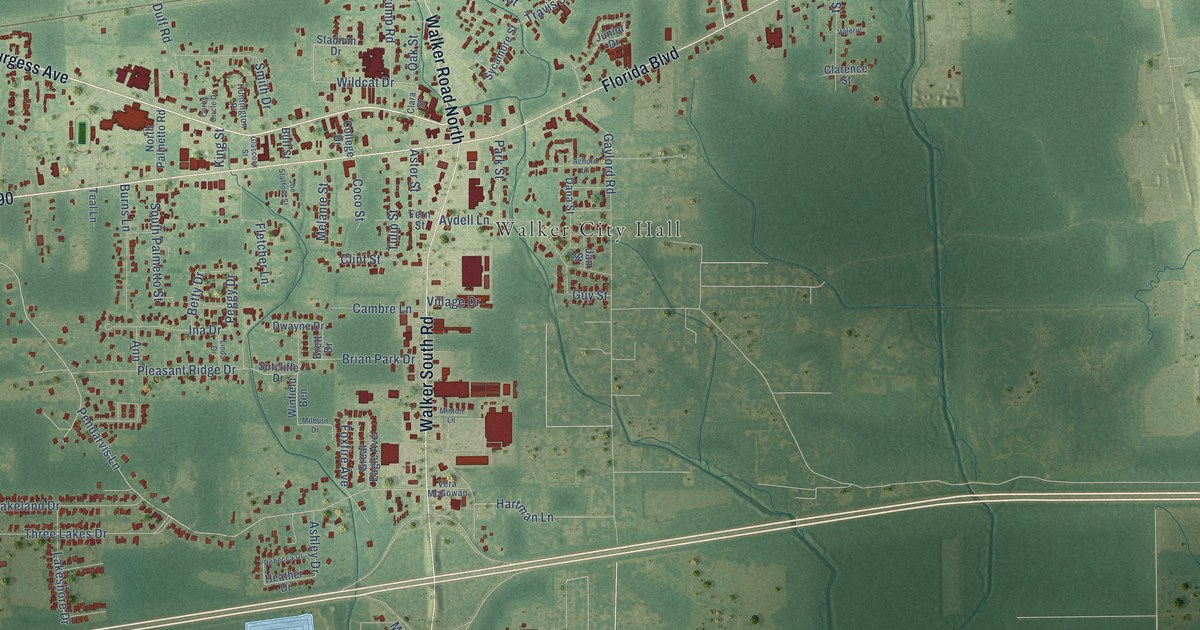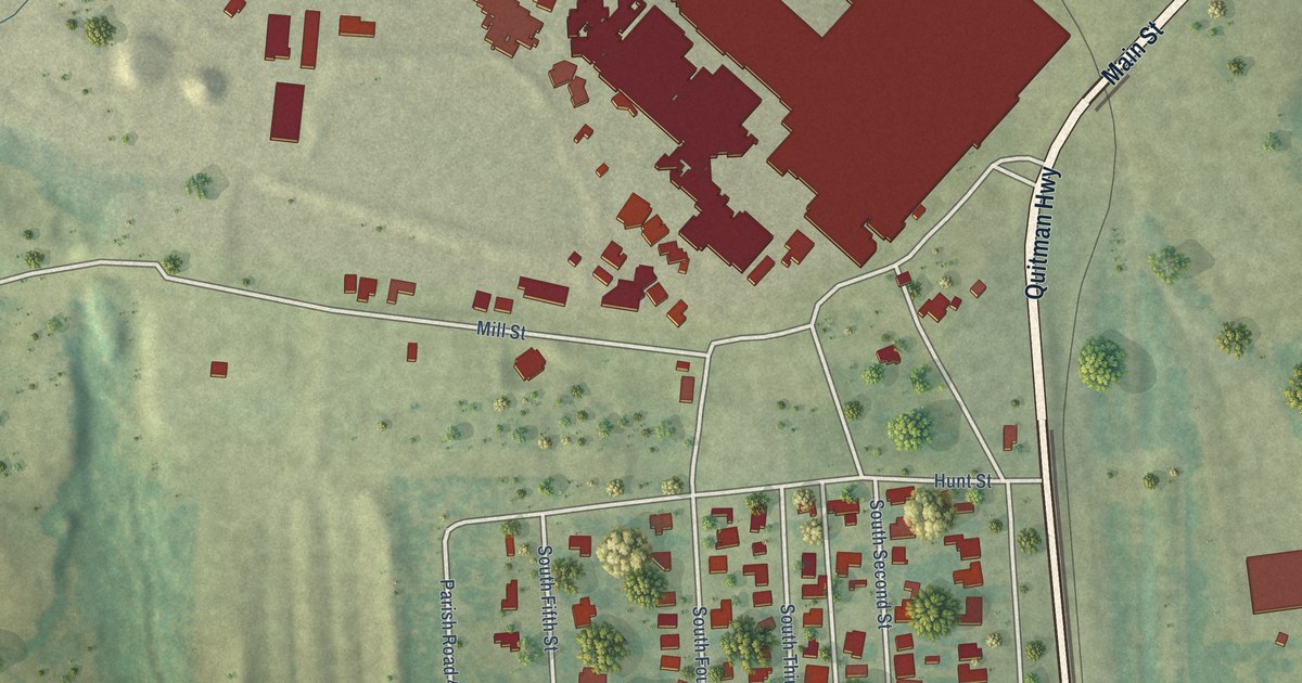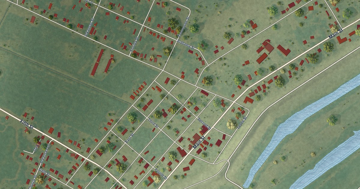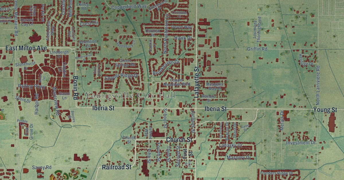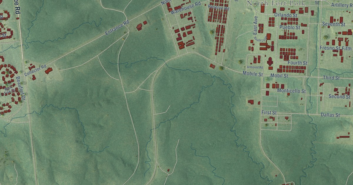
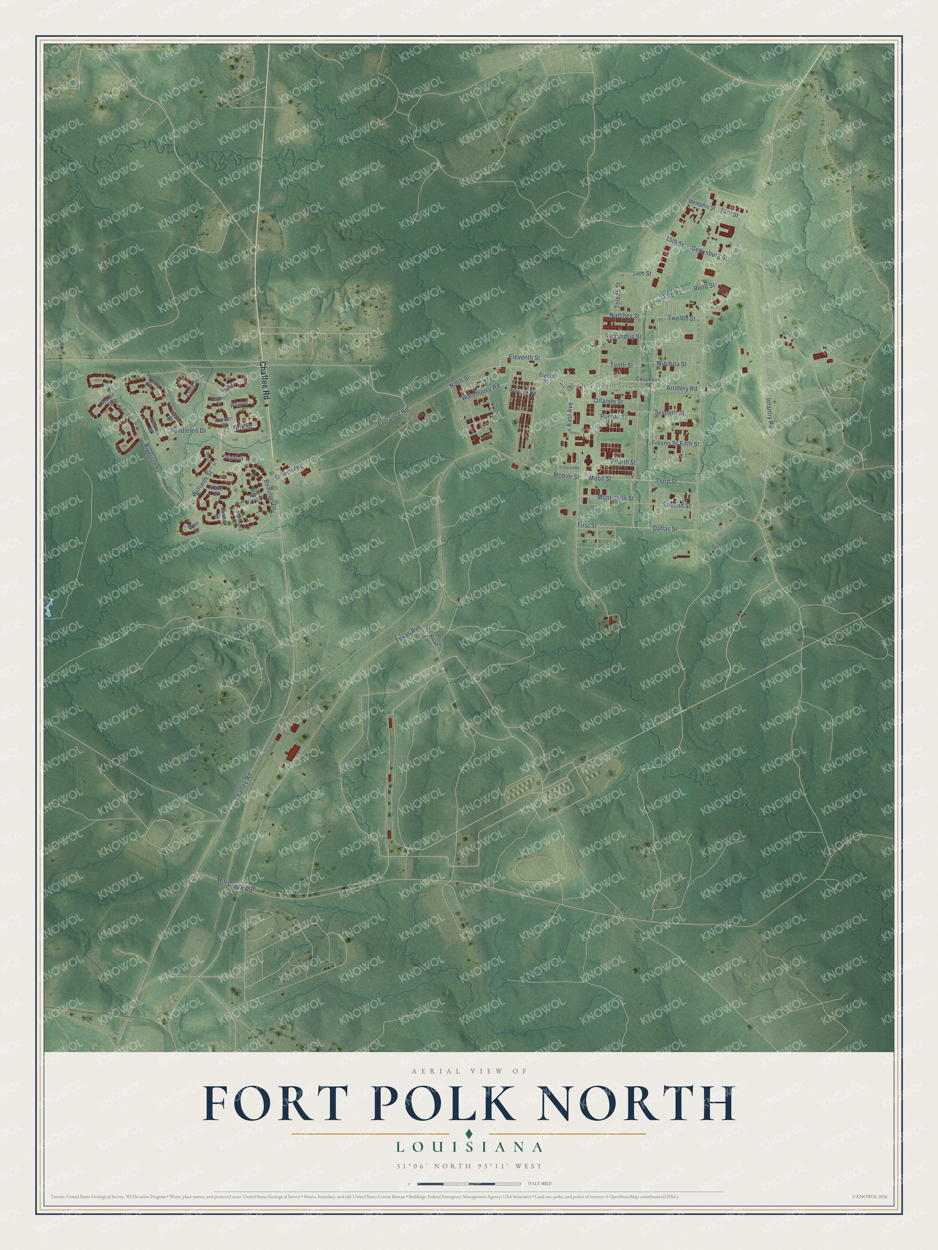
This beautifully detailed map of Fort Polk North, Louisiana was created in 2026 using aerial imagery combined with modern topographical, census, street and landmark data. It's a modern aerial view of Fort Polk North in Vernon Parish, Louisiana, that combines modern data with a vintage aesthetic. The roads feature printed names, and if you look closely you can find your exact house accurately shown in its correct location.
Explore an aerial view of Fort Polk North, Louisiana
On this map you'll find North Fort Polk, Chaffee Road, Infantry Road, Ninth Street, Third Street, Entrance Road, Gettysburg Street, Mobil Street, Mobile Street, East Avenue, Orlando Street, Texas Avenue, and more. Each red shape is a building, so zoom in on the preview and look for yours.
Every town has a first chapter, and Fort Polk North is no exception. Camp Polk went up at a feverish pace in 1941. Most of the nearby longleaf pines were cut to build its South Fort, so the 800 buildings planned for the North Fort were made of loblolly pine or hardwood lumber, while the 3rd Armored Division trained amid the construction. In the Korean War years, as the 45th Infantry Division drilled at the South Fort, the North Fort filled with National Guard and reserve units. That's from the book A Soldier's Place in History.
Fort Polk North is a community in Vernon Parish.
Take a closer look at the Fort Polk North map
Names on this map
These names are printed on this map.
Places: North Fort Polk.
Streets and roads: Chaffee Road, Infantry Road, Ninth Street, Third Street, Entrance Road, Gettysburg Street, Mobil Street, Mobile Street, East Avenue, Orlando Street, Texas Avenue, Riverton Drive.
More street names, A to Z
13th Street, 14th Street, 15th Street, 16th Street, Alexandria Street, Armored Road, Artillery Road, Back Fish Court, Beaufort Drive, Collector Road, Columbas Street, Cooley Street, County Road East, Dallas Street, Eighth Street, Eleventh Street, Fifth Street, First Street, Fourth Street, Fresno Street, Groves Street, Howard Street, Kane Street, Knight Street, Kyle Street, Lawley Street, Long Street, Marchand Court, Memphis Street, Mill Creek Road, Monticello Street, Moran Street, Murphy Street, Natchez Street, Pendleton Drive, Pueblo Street, Reno Street, Reserve Road, Ryan Street, Second Street, Seventh Street, South Loop, Tenth Street, Toledo Street, Turner Street, Twelfth Street, Warehouse Road, West Street, Williams Street, Wise Street, Witchita Street, York Street.
See it on a wall
The Fort Polk North map as a framed print. Swipe for more.


Created by KNOWOL in 2026. The buildings are small red shapes, the roads carry their printed names, and shaded relief shows the shape of the land. The title panel reads "AERIAL VIEW OF FORT POLK NORTH, LOUISIANA" with 31°06' NORTH 93°11' WEST.
Hang it in the hallway, the office or the cabin, or give it to someone who left Fort Polk North and still calls it home. Open the preview and look for a street you know. See sizes and frames for the Fort Polk North map.