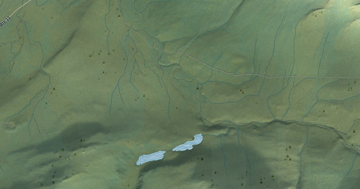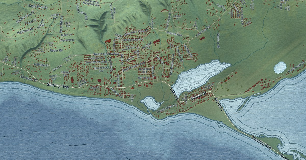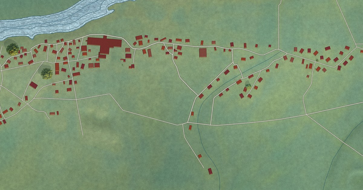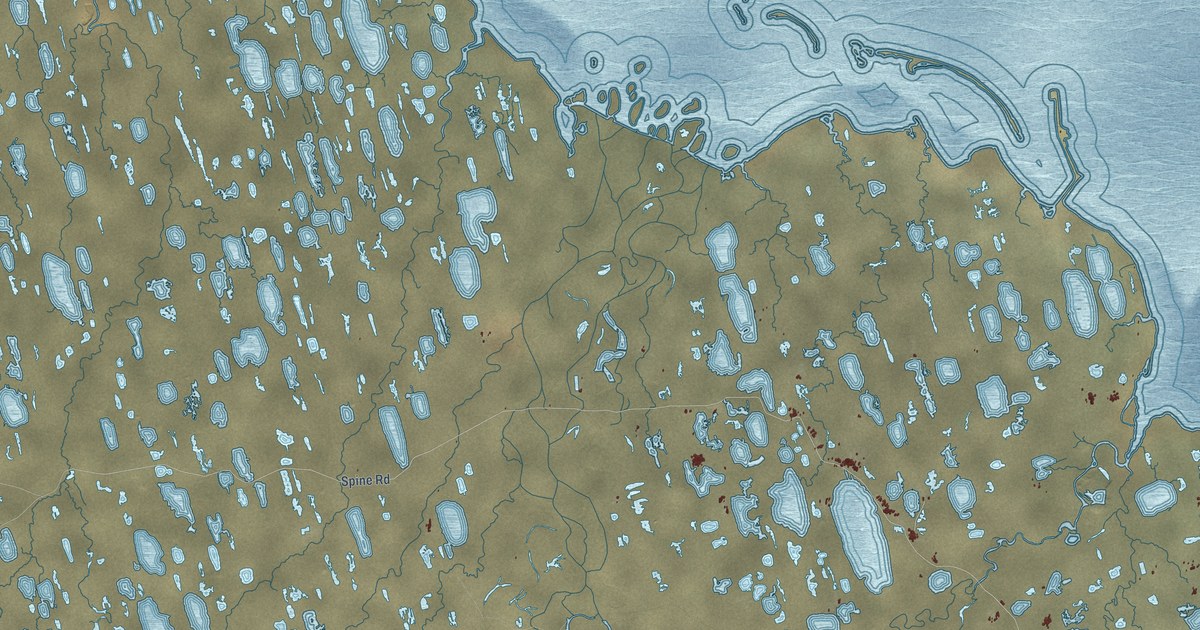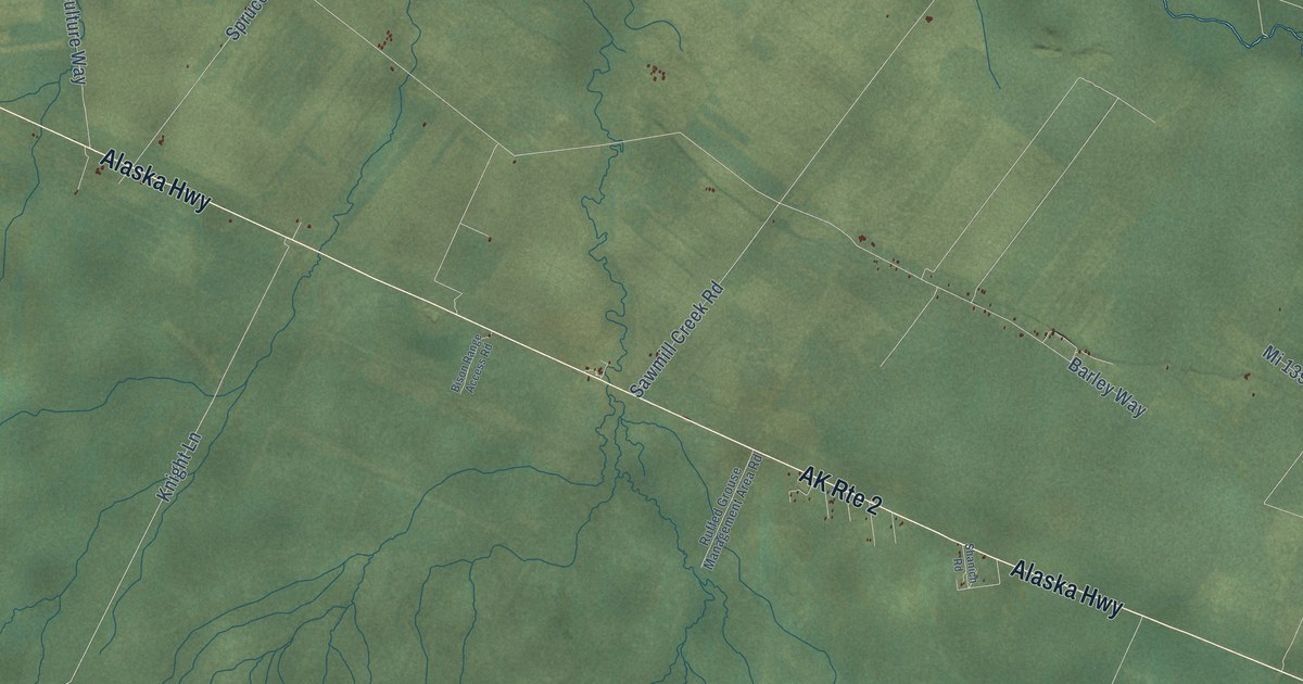
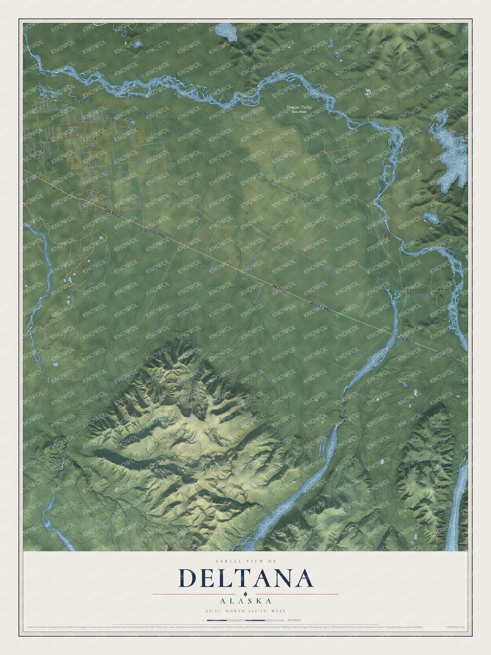
This beautifully detailed map of Deltana, Alaska was created in 2026 using aerial imagery combined with modern topographical, census, street and landmark data. It’s a one-of-a-kind view of Deltana that combines accurate data with a vintage aesthetic. The map shows every building in its true location, many of the roads carry their names, and the shaded topographic relief shows the shape of the land.
Explore an aerial view of Deltana, Alaska
On the map you’ll find Tanana Valley State Forest and Billie June, along with Alaska Highway, Hanson Road, Keaster Road, Knight Lane, Barley Way, Cummings Street, Sawmill Creek Road, Nistler Road, Rapeseed Way, Mi 1395 Road, and more. Deltana sits about 17 miles southeast of Fort Greely, 21 miles southeast of Delta Junction and 25 miles northwest of Dry Creek. If you look closely you can even find your house accurately drawn in its correct location. Zoom in on the preview to look for yours.
Did You Know?
In 1978, the state began the first Delta Agricultural Project, which created 22 farms of about 2,700 acres each. A second project added 15 more farms in 1982. Buyers won the tracts by lottery, and state loans helped them clear the land. In 1980, the 70,000-acre Delta Bison Range was set aside to keep the herd out of the barley fields. That’s from the Alaska DCRA.
Take a closer look at the Deltana map
Names on this map
These names are printed on this map.
Places: Tanana Valley State Forest.
Streets and roads: AK Route 2, Alaska Highway, Hanson Road, Billie June, Keaster Road, Knight Lane, Barley Way, Cummings Street, Sawmill Creek Road, Nistler Road, Rapeseed Way, Mi 1395 Road.
More street names, A to Z
13 Mi Cummings Spr, 33-Mile Loop Road, Agriculture Way, Angus Road, Big Dipper Road, Birch Lane, Bison Range Access Road, Center Lane, Chase Road, Clearwater Road, Cranberry Drive, Cummings Landing Spr, Daniel Drive, Dickson Road, Dorshorst Road, Egan Road, Fales Road, Fleet Street, Gold Sand Road, Hammond Street, Jack Warren Road, James Road, Leng Road, Mc Ra Denn Road, Mill Road, Mullins Road, Newby Mill Road, Pete's Road, Possenti, Quail Road, Remington Road, Rem Road, Rhoads Creek Spr, Ruffed Grouse Management Area Road, Shanich Road, Souhrada Road, Spruce Road, Strawberry Road, Tower Road, Warren Way.
See it on a wall
The Deltana map as a framed print. Swipe for more.


This beautifully detailed map of Deltana makes an attractive addition to your office, library, or den, and it can even be used to teach children the geography and history of the area. It also makes a great gift for anyone with Deltana roots. When you’re done exploring, click here to get your copy of the Deltana map.