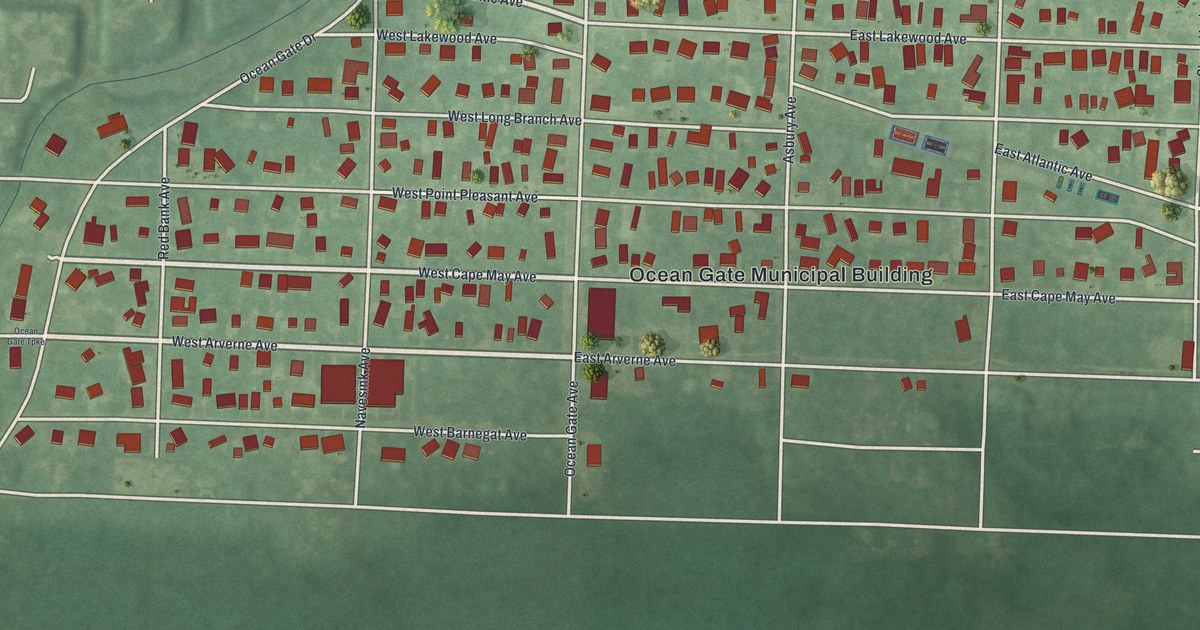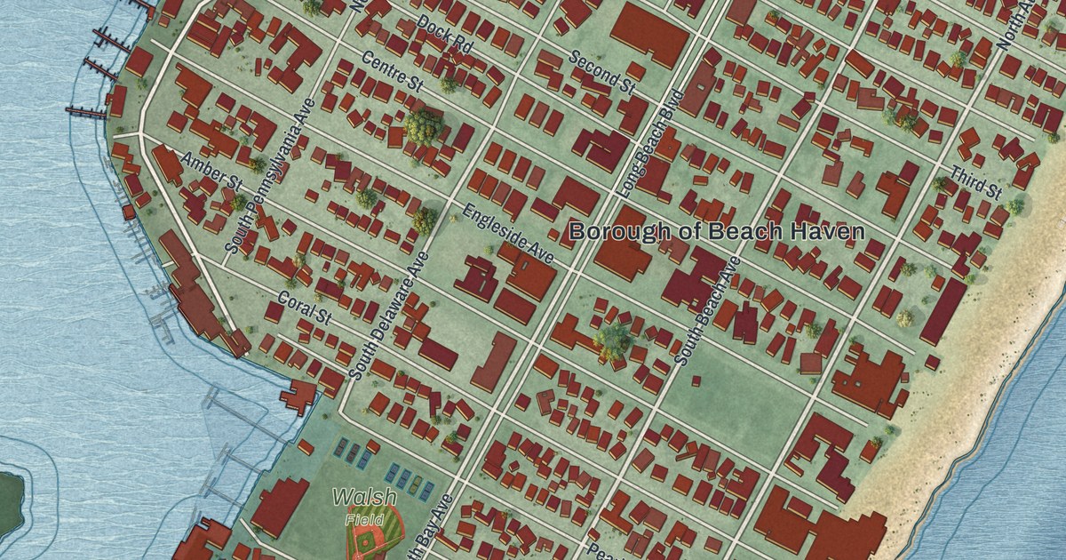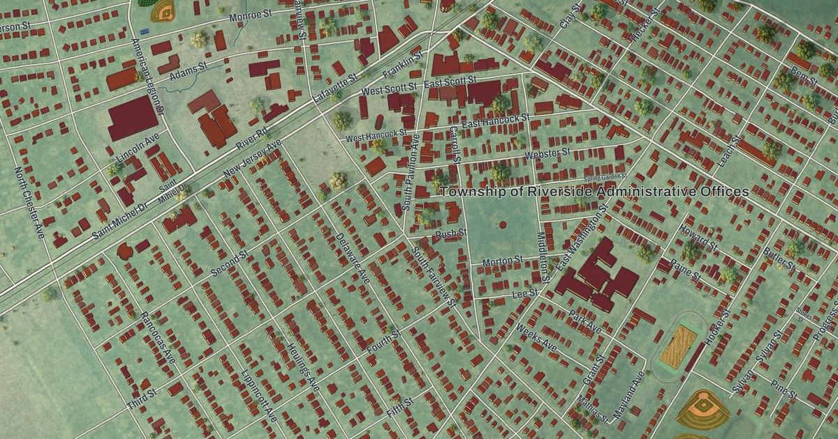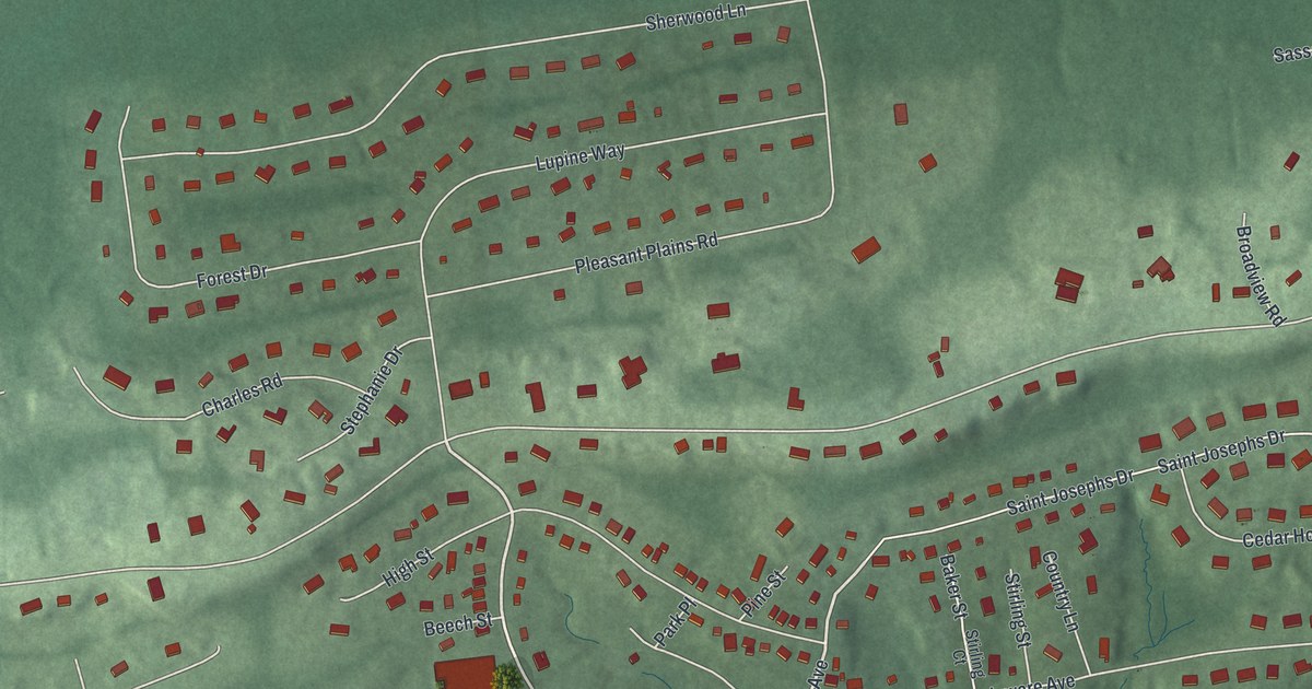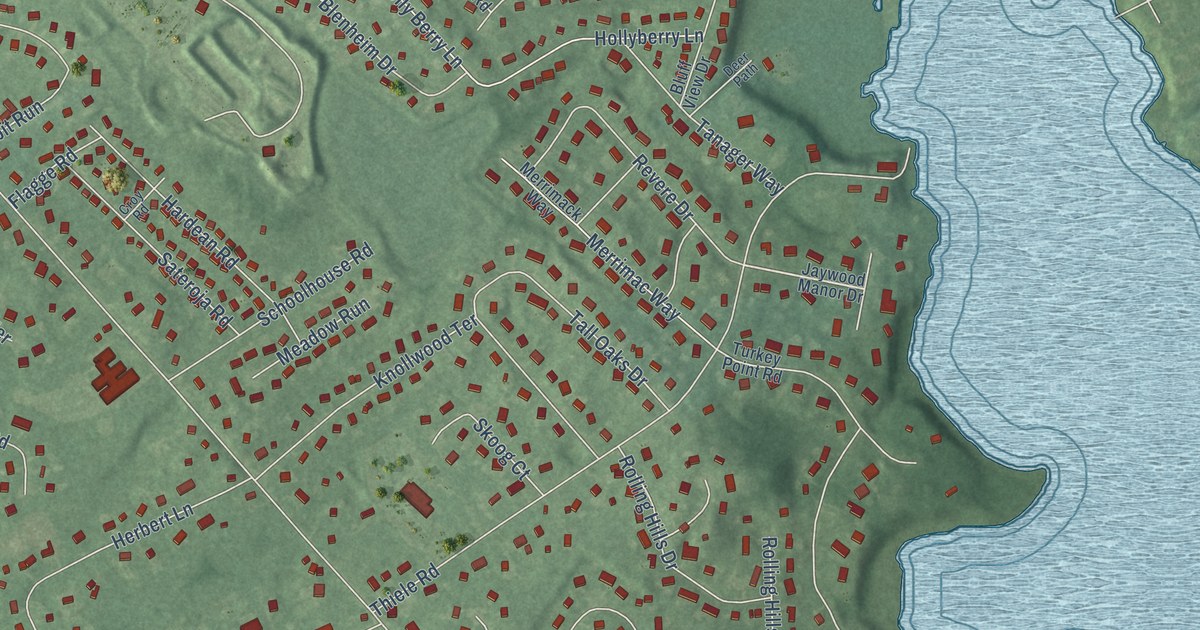
This beautifully detailed map of Herbertsville, New Jersey was created in 2026 using aerial imagery combined with modern topographical, census, street and landmark data. It’s a one-of-a-kind view of Herbertsville that combines accurate data with a vintage aesthetic. The map shows every building in its true location, many of the roads carry their names, and the shaded topographic relief shows the shape of the land.
Explore an aerial view of Herbertsville, New Jersey
On the map you’ll find Winding River Village, Brick Reservoir, and Riviera Beach, along with Brick Boulevard, Allenwood Lakewood Road, Greenwood Loop Road, Herbertsville Road, Winding River Road, Ridge Road, Holly Berry Lane, Thiele Road, and more. If you look closely you can even find your house accurately drawn in its correct location. Zoom in on the preview to look for yours.
Did You Know?
From Internet Archive: "The first known pottery in New Jersey was established in 1800 at what was then known as Old Bridge, now Herbertsville, in Ocean county."
Herbertsville is a community in Ocean County.
Take a closer look at the Herbertsville map
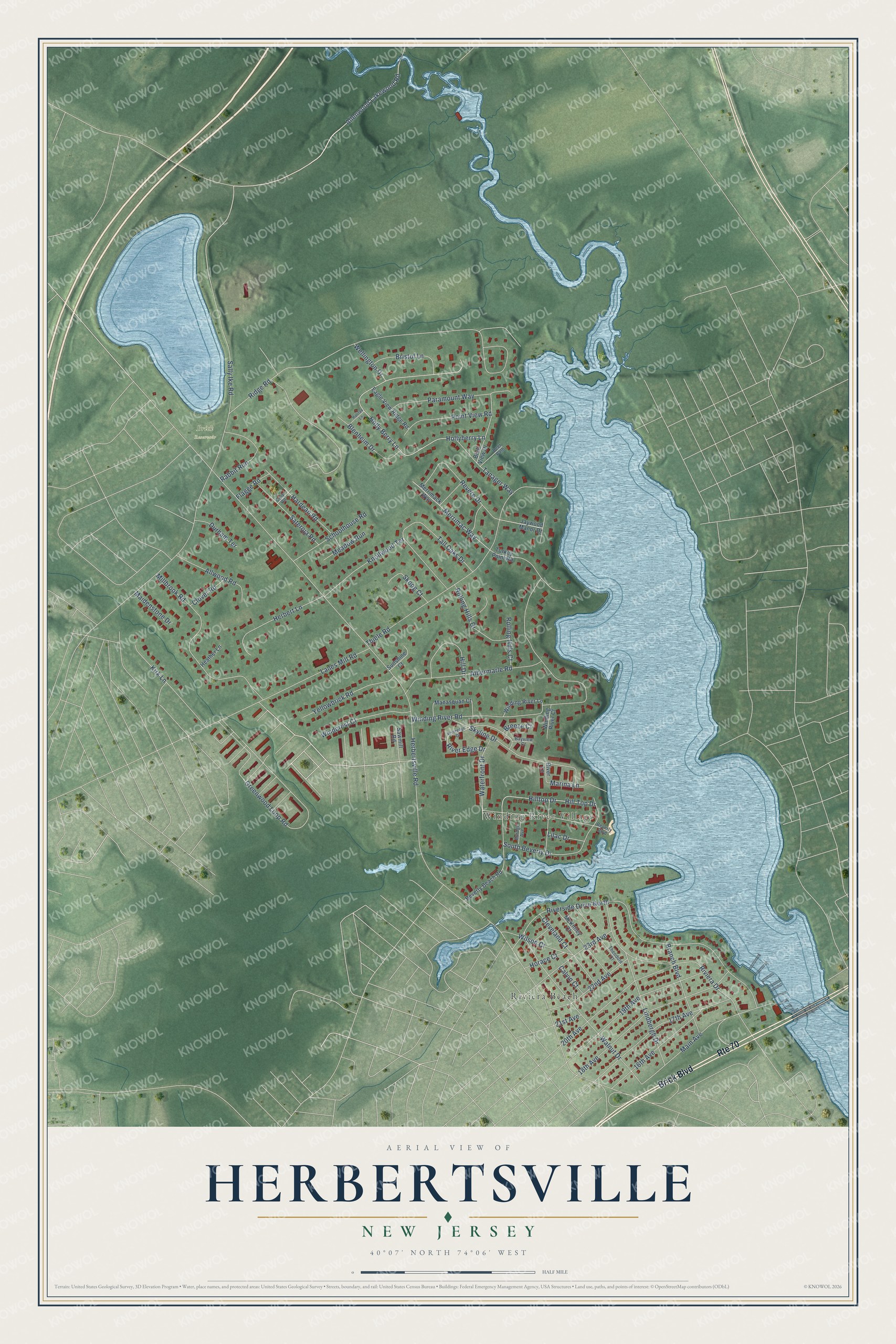
Names on this map
These names are printed on this map.
Places: Winding River Village, Brick Reservoir and Riviera Beach.
Streets and roads: Brick Boulevard, Route 70, Allenwood Lakewood Road, Greenwood Loop Road, Herbertsville Road, Winding River Road, Ridge Road, Riverside Drive North, Holly Berry Lane, Hollyberry Lane, Thiele Road, Sally Ike Road.
More street names, A to Z
16th Avenue, 17th Avenue, 18th Avenue, 19th Avenue, 20th Avenue, 21st Avenue, 22nd Avenue, 23rd Avenue, Albermarle Road, Allwood Road, Bayview Court, Beverly Beach Road, Beverly Boulevard, Blenheim Drive, Bluff View Drive, Branch Boulevard, Breeze Court, Bristol Lane, Burdge Avenue, Calvin Court, Cleveland Court, Clover Road, Croy Road, Deer Path, Durham Terrace, Eagle View Ridge Road, Flagge Road, Halifax Lane, Hardean Road, Heather Lane, Herbert Lane, Hill Drive, Hill Top Drive, Hilltop Drive, Horace Court, Jaywood Manor Drive, Kirk Lane, Knollwood Terrace, Lanes Mill Road, Lilac Drive, Lindbergh Drive, Maidenstone Drive, Main Avenue, Manasquan Court, Marina Lane, McKinley Court, Meadow Run, Merrimack Way, Merrimac Way, Millbrook Road, Paramount Way, Point View Road, Rabbit Run, Revere Drive, River Edge Drive, Riveredge Drive, River Lane, Riviera Drive, Rolling Hills Court, Rolling Hills Drive, Sateroja Road, Sawmill Road, Schoolhouse Road, Skoog Court, Skyline Drive, South Beverly Drive, Sunshine Court, Tall Oaks Drive, Tanager Way, Theodore Court, Turkey Point Road, Walnut Drive, Waterfront Drive, Wellington Drive, Wilson Court, Windcrest Court, Winding River Court, Winding River Lane, Yellowbrick Road.
See it on a wall
The Herbertsville map as a framed print. Swipe for more.


This beautifully detailed map of Herbertsville makes an attractive addition to your office, library, or den, and it can even be used to teach children the geography and history of the area. It also makes a great gift for anyone with Herbertsville roots. When you’re done exploring, click here to get your copy of the Herbertsville map.