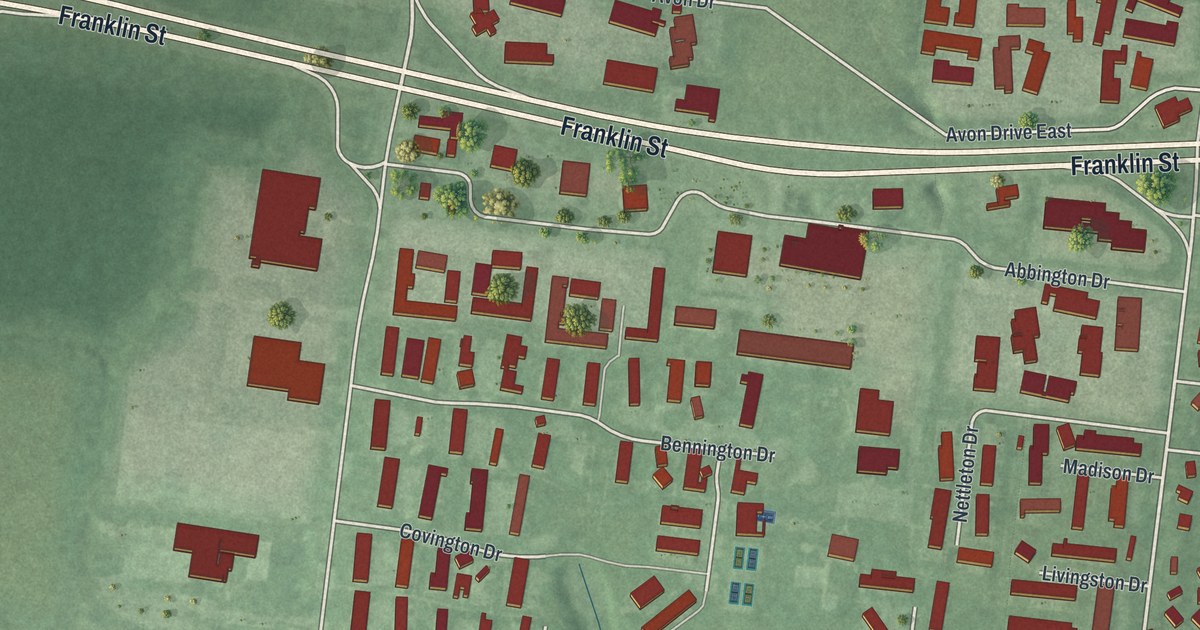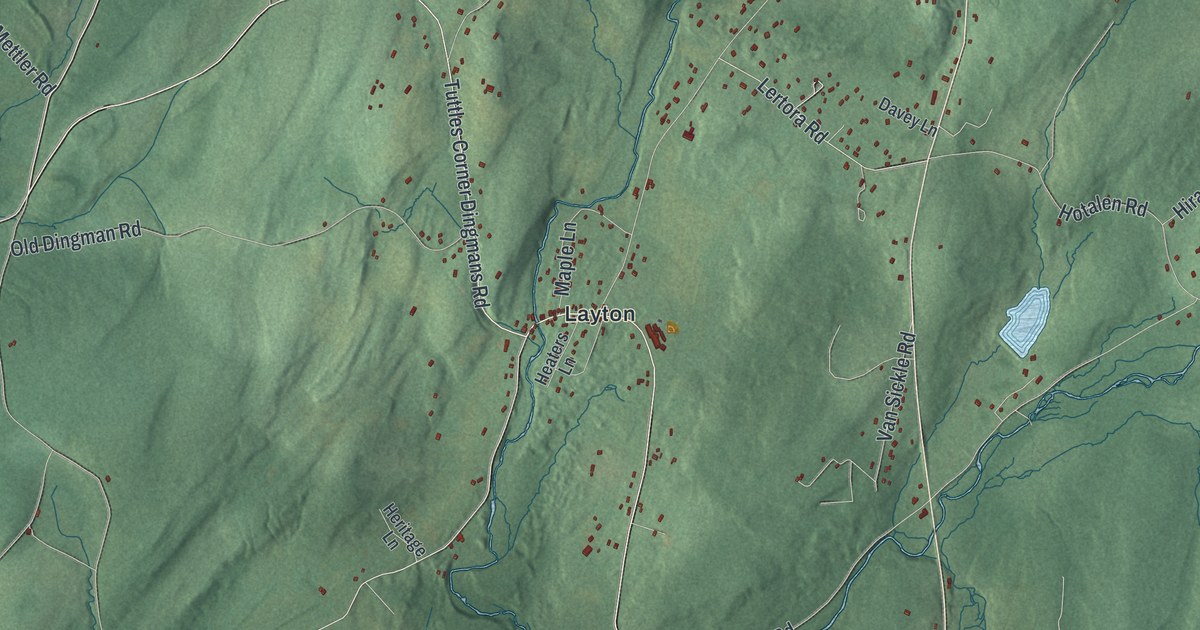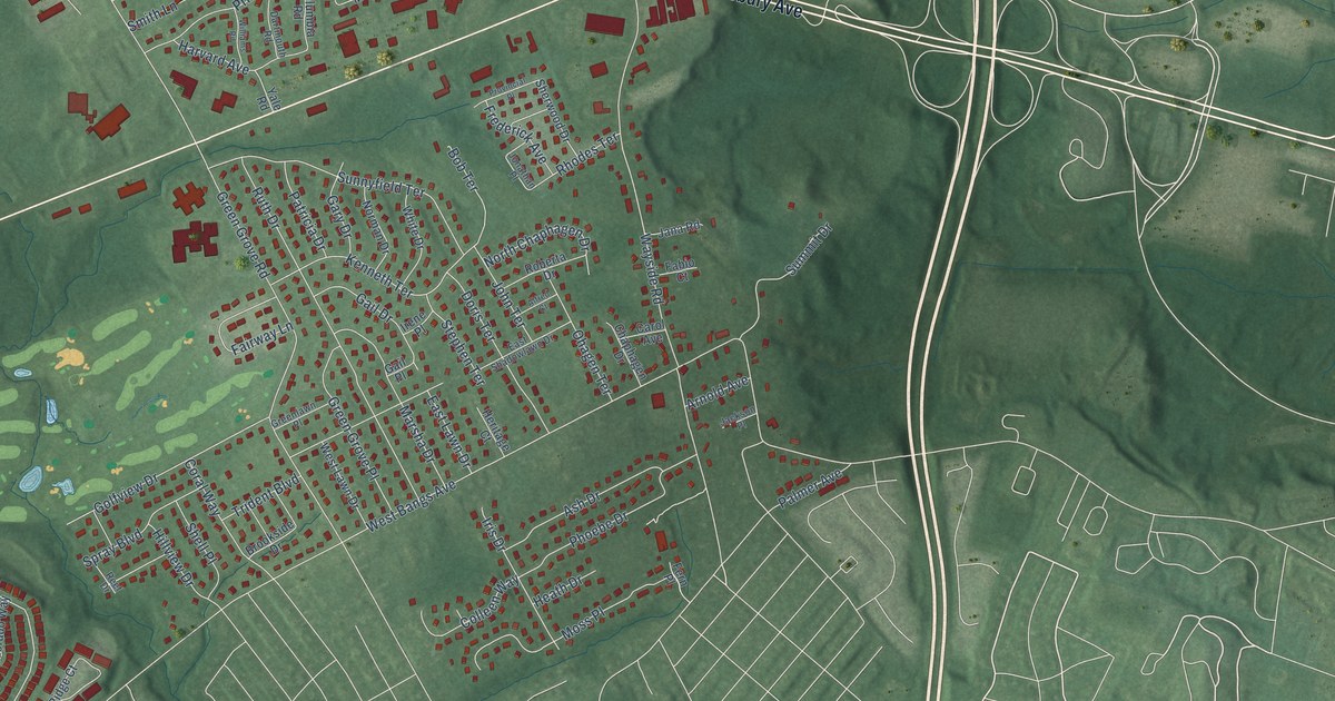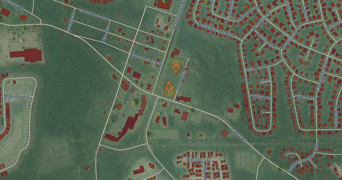
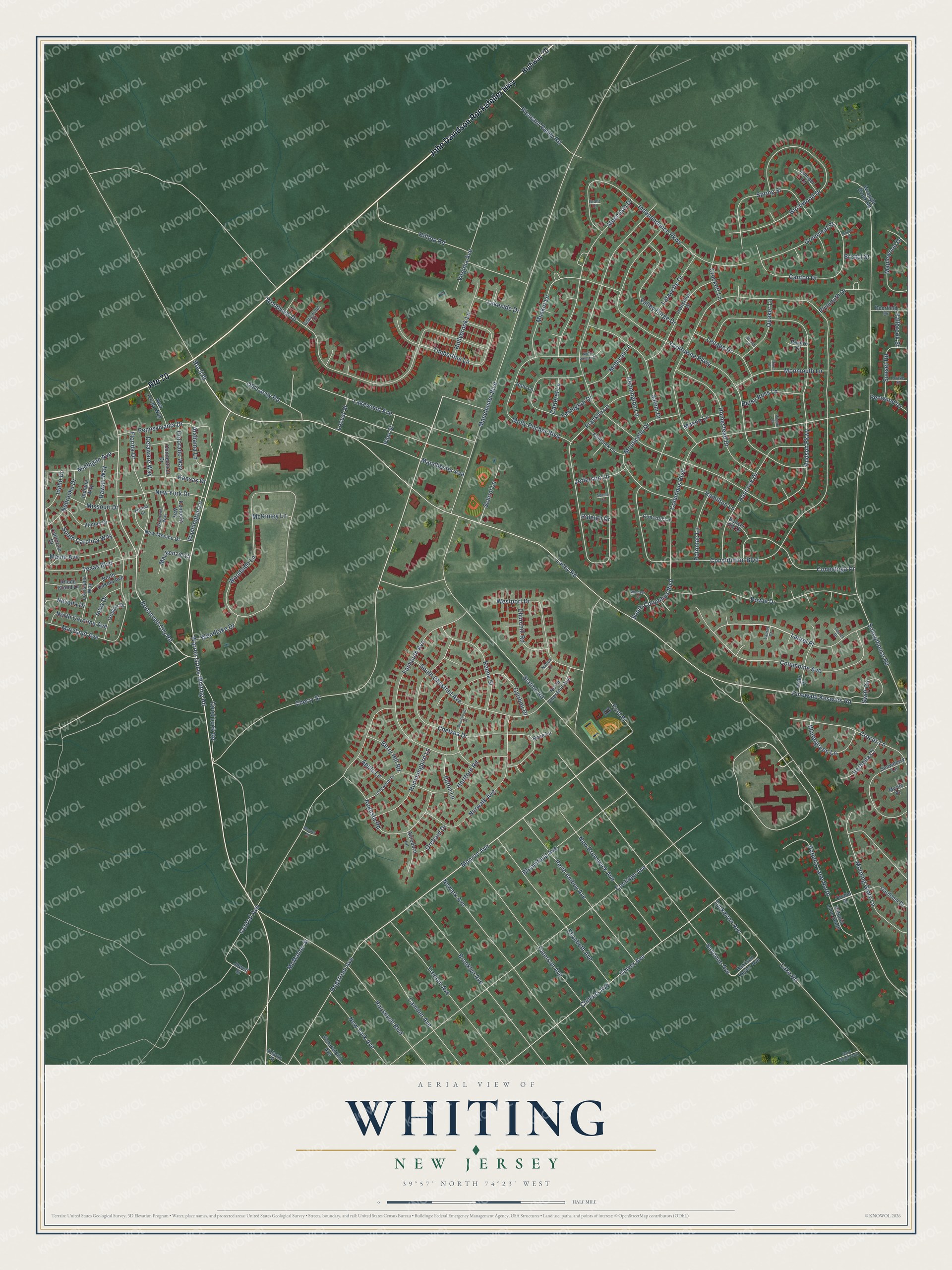
This beautifully detailed map of Whiting, New Jersey was created in 2026 using aerial imagery combined with modern topographical, census, street and landmark data. It’s a one-of-a-kind view of Whiting that combines accurate data with a vintage aesthetic. The map shows every building in its true location, many of the roads carry their names, and the shaded topographic relief shows the shape of the land.
Explore an aerial view of Whiting, New Jersey
On the map you’ll find Laurel Place, along with John Davidson Rockefeller Highway, Warren Grove Whiting Road, Roosevelt City Road, Monroe Avenue, Cherry Street, Lacey Road, Constitution Boulevard, Hudson Parkway, Lake Road, Schoolhouse Road, Manchester Boulevard, and more. If you look closely you can even find your house accurately drawn in its correct location. Zoom in on the preview to look for yours.
Did You Know?
From Internet Archive: "Spent his first summer's vacation as missionary at Whiting, and his second at Cooper, both in Washington Co., Maine, under the auspices of the Maine Missionary Association of the Congregational Church."
Whiting is a community in Ocean County.
Take a closer look at the Whiting map
Names on this map
These names are printed on this map.
Places: Harry Wright Park.
Streets and roads: John Davidson Rockefeller Highway, Route 70, Warren Grove Whiting Road, Roosevelt City Road, Monroe Avenue, Laurel Place, Cherry Street, Lacey Road, Constitution Boulevard, Hudson Parkway, Lake Road, Schoolhouse Road.
More street names, A to Z
Adams Court, Adams Street, Alabama Lane, Apple Lane, Aster Place, Attleboro Lane, Augusta Road, Bayonne Avenue, Bennington Lane, Berry Hill Road, Betsy Ross Lane, Birchwood Drive, Bleeker Street, Bloomfield Avenue, Boston Court, Bowie Drive, Brentwood Street, Bristol Street, Brooklyn Avenue, Bunker Hill Drive, California Drive, Camden Avenue, Canton Drive, Caribou Drive, Carteret Lane, Cedarwood Court, Central Avenue, Chelsea Drive, Chilvers Avenue, Chiver Avenue, Churchill Road, Colorado Way, Columbine Avenue, Columbus Boulevard, Concord Lane, Conestoga Drive, Connecticut Drive, Coolidge Avenue, Crockett Lane, Crocus Lane, Deerfield Drive, Delaware Way, Dixon Court, Drake Street, Eaton Lane, Elizabeth Avenue, Fallbrook Street, Falmouth Avenue, Flintlock Lane, Florida Court, Florida Drive, Ford Place, Franklin Lane, Gardenia Drive, Good Luck Road, Grant Court, Greenleaf Street, Hale Lane, Hamilton Lane, Hancock Drive, Harrison Hester Avenue, Hartford Road, Hawaii Way, Hegstrom Avenue, Highway 70, Hilltop Road, Hollybrook Lane, Homestead Drive, Hummingbird Lane, Idaho Drive, Illinois Drive, Independence Parkway, Indiana Way, Iowa Drive, Ironsides Drive, Jefferson Lane, Jewett Street, Juniper Lane, Kansas Drive, Keene Street, Kentucky Way, Lafayette Drive, Lakeside Drive, Lakewood Avenue, Laurel Court, Laurel Drive, Lenape Drive, Lexington Drive, Locust Street, Longwood Drive, Louisiana Way, Mackenzie Court, Maine Avenue, Manchester Avenue, Manchester Boulevard, Maplewood Drive, Maryland Avenue, Mason Lane, McKinley Lane, McMahon Street, Michigan Avenue, Missouri Drive, Moccasin Drive, Mohican Lane, Molly Pitcher Boulevard, Molly Pitcher Court, Monmouth Lane, Monticello Drive, Morning Glory Lane, Musket Lane, Myrtle Place, Natick Lane, Nebraska Drive, Nevada Drive, Newark Avenue, New Brunswick Avenue, New Jersey Way, New Mexico Drive, New York Avenue, New York Drive, North Carolina Avenue, North Chestnut Avenue, North Dakota Avenue, Norwalk Avenue, Oklahoma Way, Old Lacey Road, Orchard Drive, Orchid Street, Oregon Drive, Oxford Place, Paterson Avenue, Pennsylvania Drive, Penwood Drive, Perth Amboy Avenue, Petunia Lane North, Petunia Lane South, Philadelphia Avenue, Pilgrim Court, Pine Street, Pinewald Keswick Road, Pleasant Valley Road, Plymouth Drive, Potomac Lane, Quaker Lane, Raleigh Drive, Revere Court, Rhode Island Drive, Roosevelt Boulevard, Rose Lane, Route 539, Salem Drive, School Lane, Snowberry Lane, South Carolina Way, South Chestnut Avenue, South Columbus Boulevard, Spring Street, Station Road, Sunset Road, Swift Circle, Texas Boulevard, Timberline Lane, Trenton Avenue, Tuckerton Avenue, Valley Forge Drive, Verbena Court, Virginia Avenue, Washington Lane, Westport Drive, Windsor Court, Wintergreen Lane, Woodlake Drive, Woodside Lane, Woodview Drive, Wrangle Brook Road, Yorktowne Parkway.
See it on a wall
The Whiting map as a framed print. Swipe for more.


This beautifully detailed map of Whiting makes an attractive addition to your office, library, or den, and it can even be used to teach children the geography and history of the area. It also makes a great gift for anyone who grew up in Whiting or moved away. When you’re done exploring, click here to get your copy of the Whiting map.