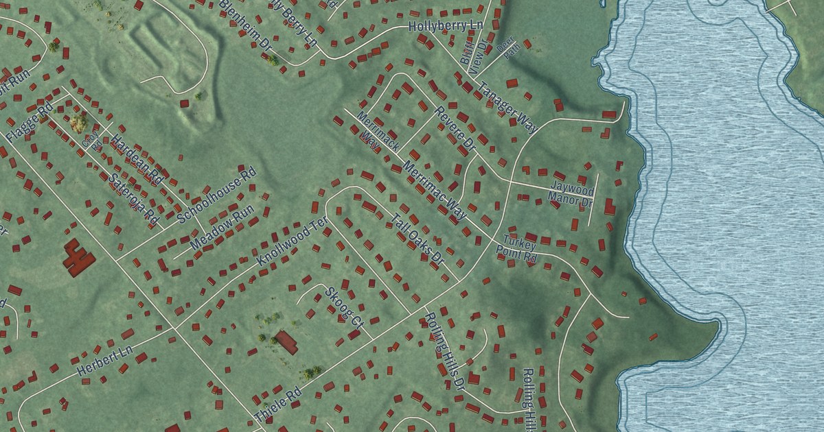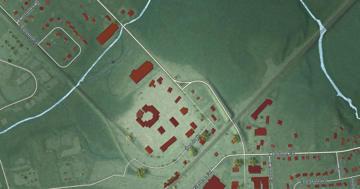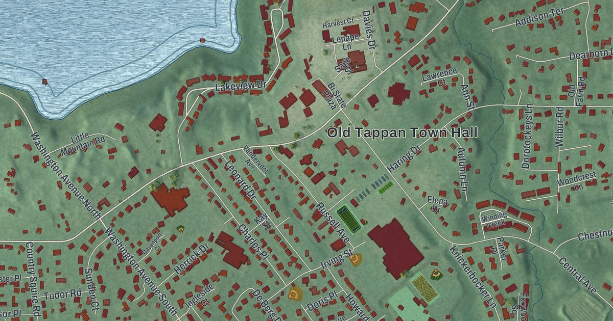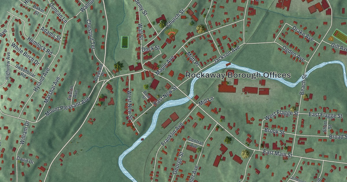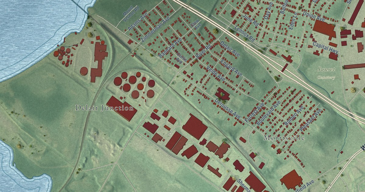
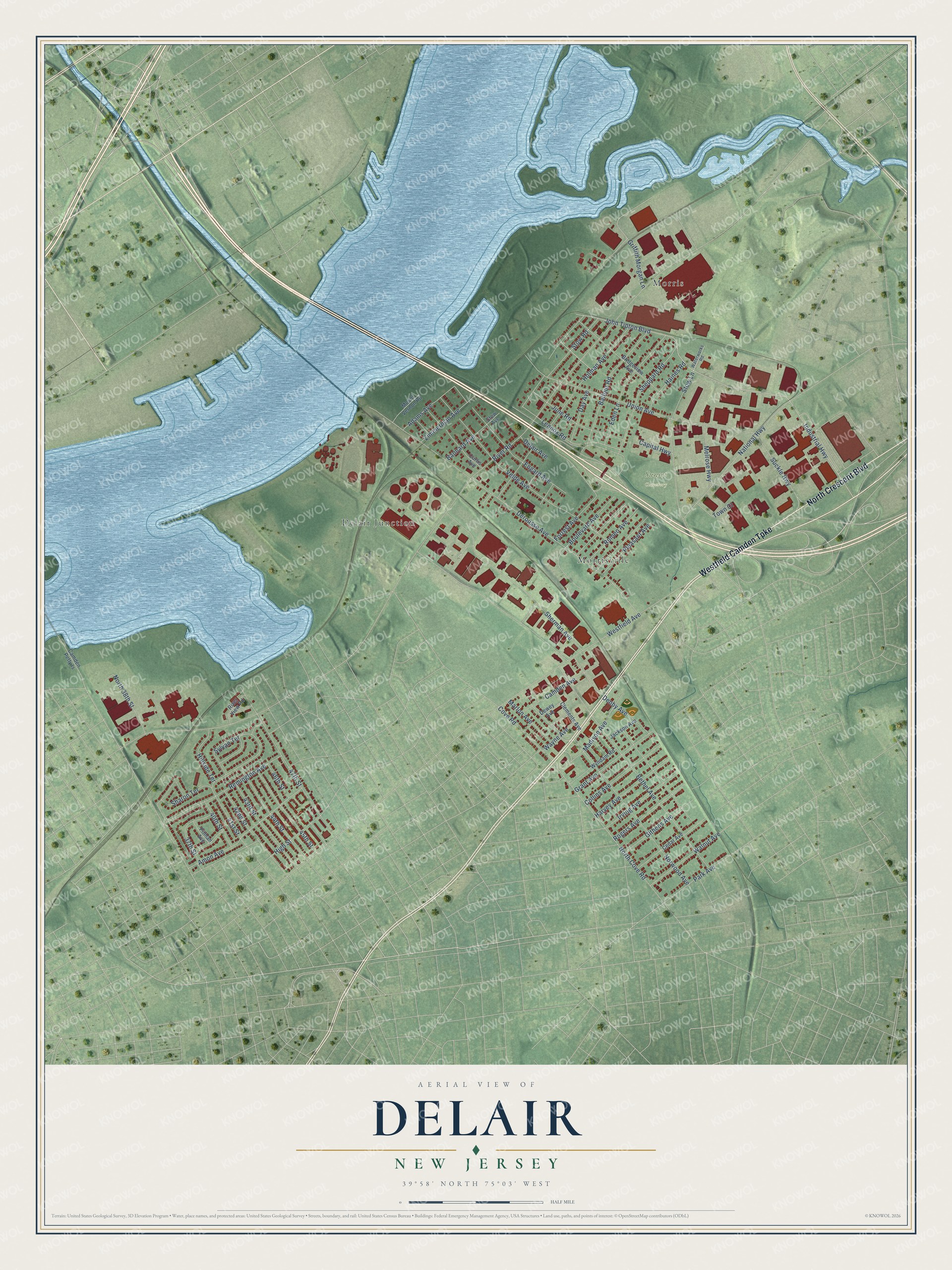
This beautifully detailed map of Delair, New Jersey was created in 2026 using aerial imagery combined with modern topographical, census, street and landmark data. It’s a one-of-a-kind view of Delair that combines accurate data with a vintage aesthetic. The map shows every building in its true location, many of the roads carry their names, and the shaded topographic relief shows the shape of the land.
Explore an aerial view of Delair, New Jersey
On the map you’ll find Sunset Cemetery, Delair Junction, Morris, and Morrisville, along with North Crescent Boulevard, Westfield Camden Turnpike, River Road, Bethel Avenue, Sherman Avenue, Derousse Avenue, Industrial Highway, John Tipton Boulevard, and more. If you look closely you can even find your house accurately drawn in its correct location. Zoom in on the preview to look for yours.
Did You Know?
From Internet Archive: "Seal has recently presented a paper on the introduction of this species, and Heterandria, in New Jersey waters! during the fall of 1905. ‘They were placed in brooks flowing into the ice-pond at Westville, a land-locked pond near Delanco, a mill pond between Merchantville and Eavesboro, and Jand-locked waters near Delair."
Delair is a community in Camden County.
Take a closer look at the Delair map
Names on this map
These names are printed on this map.
Places: Sunset Cemetery, Delair Junction, Morris and Morrisville.
Streets and roads: North Crescent Boulevard, Westfield Camden Turnpike, River Road, Bethel Avenue, Sherman Avenue, Derousse Avenue, Industrial Highway, John Tipton Boulevard, Union Avenue, Sheppard Road, Norwood Avenue, Velde Avenue.
More street names, A to Z
37th Street, 40th Street, 41st Street, 42nd Street, 43rd Street, 44th Street, 45th Street, 46th Street, 47th Street, Adams Avenue, Amon Avenue, Balfour Road, Bannard Avenue, Boulevard Avenue, Bridgeview Avenue, Camden Avenue, Camden Petty Is, Capital Highway, Cedar Avenue, Clements Avenue, Collins Avenue, Cove Road, Curtis Avenue, Day Avenue, Delair Avenue, Denby Avenue, Dewey Avenue, Eden Lane, Engard Avenue, Forrest Avenue, Githens Avenue, Grant Avenue, Griffith Morgan Lane, Haines Road, Harvey Avenue, High Street, Hillside Terrace, Holman Avenue, Irving Avenue, Jackson Avenue, June Road, Lennox Road, Madison Avenue, Marlon Avenue, Melrose Highway, Mount Vernon Road, National Highway, North 38th Street, North Cove Road, Park Avenue, Pitman Avenue, Pleasant Avenue, Remington Avenue, River View Road, Rogers Avenue, Romeo Avenue, Sharon Terrace, Stow Avenue, Stow Lane, Stow Road, Suckle Highway, Sylvan Terrace, Town Court, Walnut Avenue, Waterworks Road, Wayne Avenue, Westfield Avenue, Wyndam Road, Zimmerman Avenue.
See it on a wall
The Delair map as a framed print. Swipe for more.


This beautifully detailed map of Delair makes an attractive addition to your office, library, or den, and it can even be used to teach children the geography and history of the area. It also makes a great gift for anyone with Delair roots. When you’re done exploring, click here to get your copy of the Delair map.