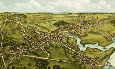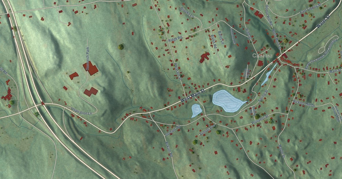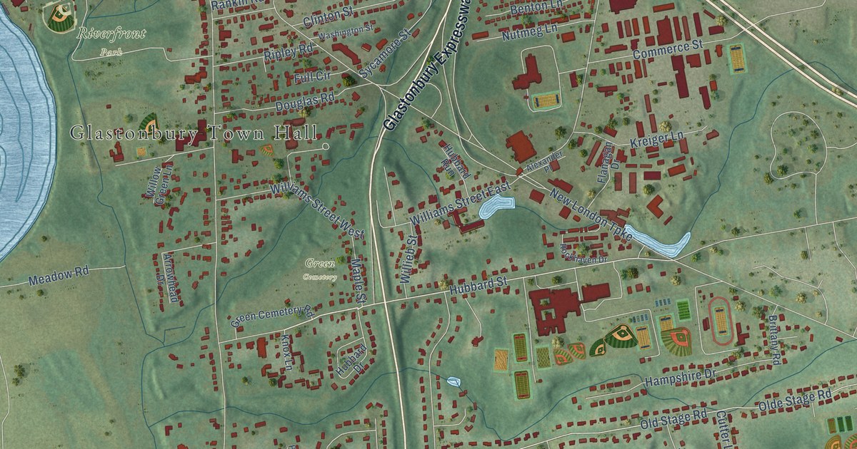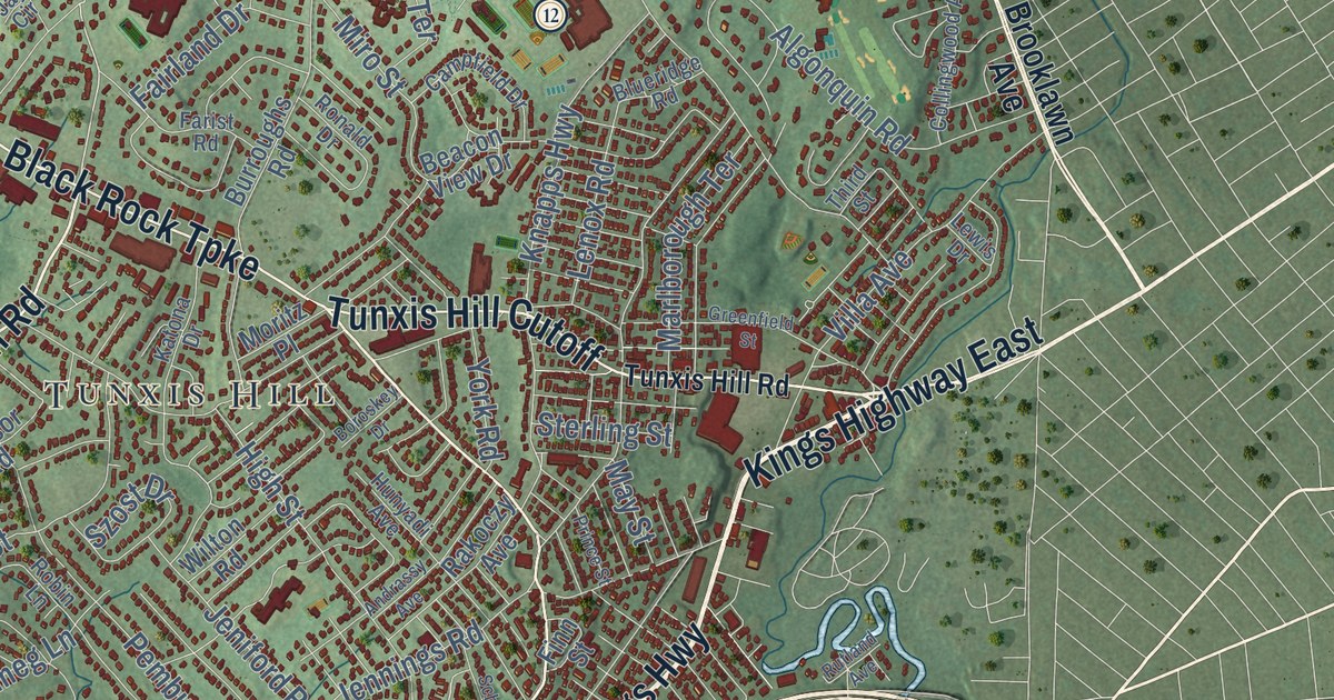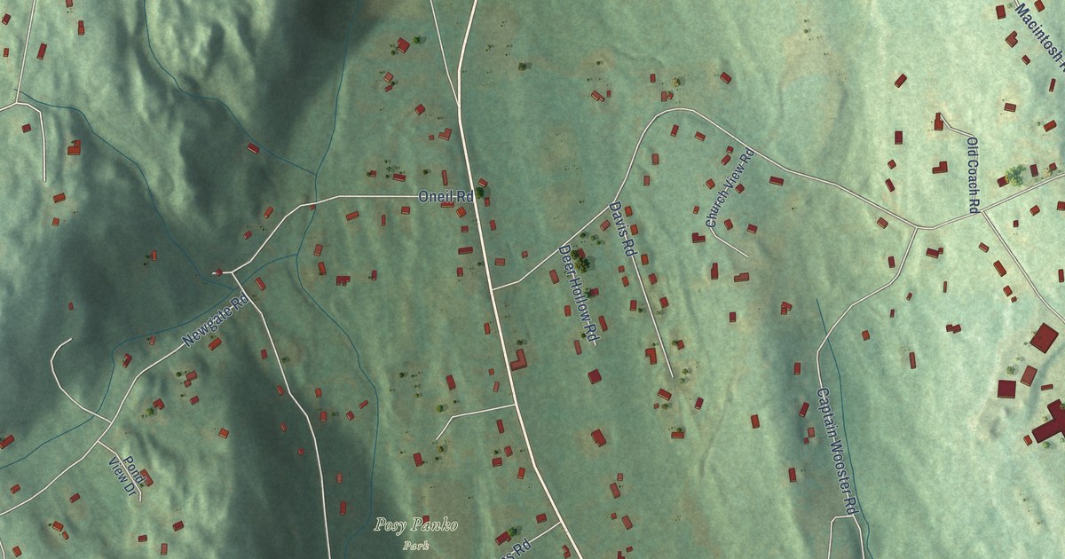
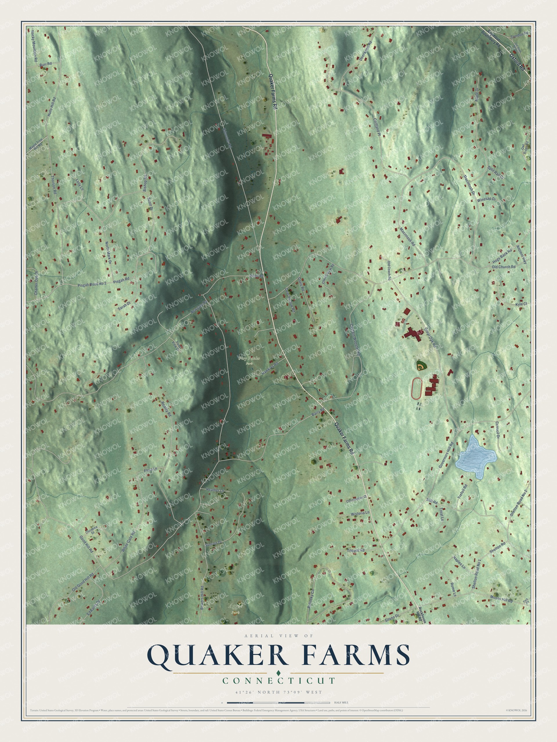
This beautifully detailed map of Quaker Farms, Connecticut was created in 2026 using aerial imagery combined with modern topographical, census, street and landmark data. It’s a one-of-a-kind view of Quaker Farms that combines accurate data with a vintage aesthetic. The map shows every building in its true location, many of the roads carry their names, and the shaded topographic relief shows the shape of the land.
Explore an aerial view of Quaker Farms, Connecticut
On the map you’ll find Posy Panko Park and Aggie Park, along with Quaker Farms Road, Oxford Road, Hogs Back Road, Macintosh Drive, Macintosh Road, Good Hill Road, Newgate Road, Oneil Road, Edmonds Road, Governors Hill Road, and more. If you look closely you can even find your house accurately drawn in its correct location. Zoom in on the preview to look for yours.
Did You Know?
From the Newtown bee.: "Warrington, the Quaker Farms mill man, has been putting in new apple grater into his cider mill preparatory to cider making."
Quaker Farms is a community in Naugatuck Valley County.
Take a closer look at the Quaker Farms map
Names on this map
These names are printed on this map.
Places: Posy Panko Park and Aggie Park.
Streets and roads: Quaker Farms Road, Oxford Road, Hogs Back Road, Macintosh Drive, Macintosh Road, Good Hill Road, Newgate Road, Oneil Road, Edmonds Road, Governors Hill Road, Cortland Place, Bowers Hill Road.
More street names, A to Z
Ancient Highway, Apple Drive, Barry Road, Belinsky Circle, Bishop Road, Burr Road, Captain Wooster Road, Charter Oak Drive, Christina Drive, Christopher Court, Church View Road, Condon Road, Council Drive, Davis Road, Deer Hollow Road, Deerwood Road, Edwards Drive, Flora Lane, Great Oak Road, Hawkins Road, Heather Lane, Hulls Hill Road, Kyle Court, Lolly Lane, Maple Tree Hill Road, Moose Hill Road, Naples Lane, North Mark Drive, Old Church Road, Old Coach Road, Old Good Hill Road, Old State Road 2, Owl Ridge Road, Park Road, Pisgah Road, Pisgah Road No 2, Pond View Drive, Reality Road, Rockhouse Hill Road, Rocky Mountain Road, Rome Lane, Sarah Drive, Scott Drive, Seymour Southbury Road, Shelton Road, Shelton Road No 1, Shelton Road No 2, Silano Drive, Split Rail Court, Still Road, Sunrise Drive, Thorson Road, Tilquist Road, Treat Lane, Trefoil Road, White Gate Road, Winesap Drive, Wisteria Lane.
See it on a wall
The Quaker Farms map as a framed print. Swipe for more.


This beautifully detailed map of Quaker Farms makes an attractive addition to your office, library, or den, and it can even be used to teach children the geography and history of the area. It also makes a great gift for someone who left Quaker Farms and still calls it home. When you’re done exploring, click here to get your copy of the Quaker Farms map.