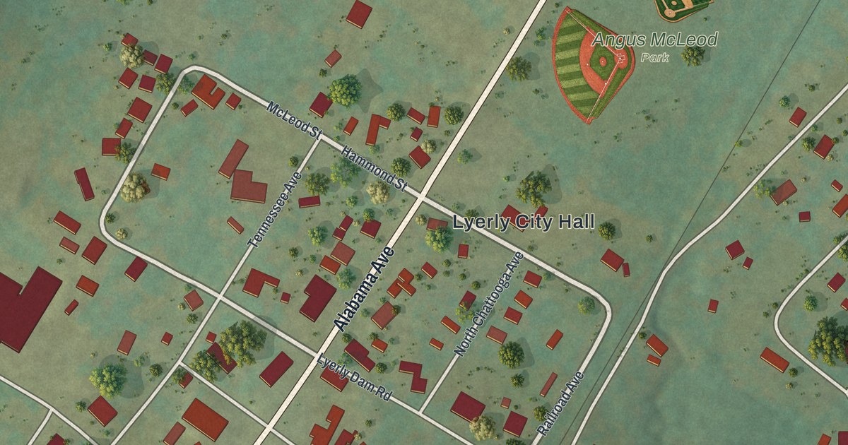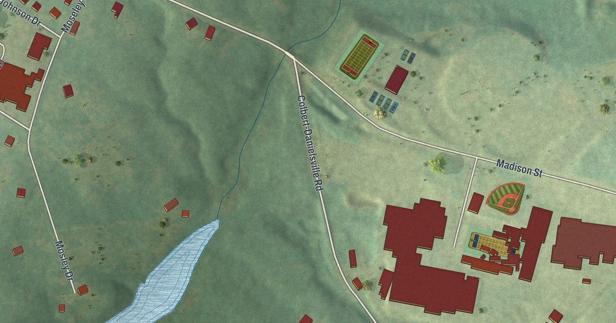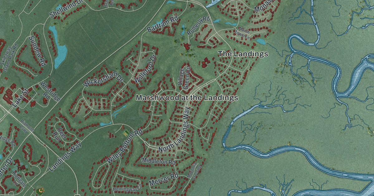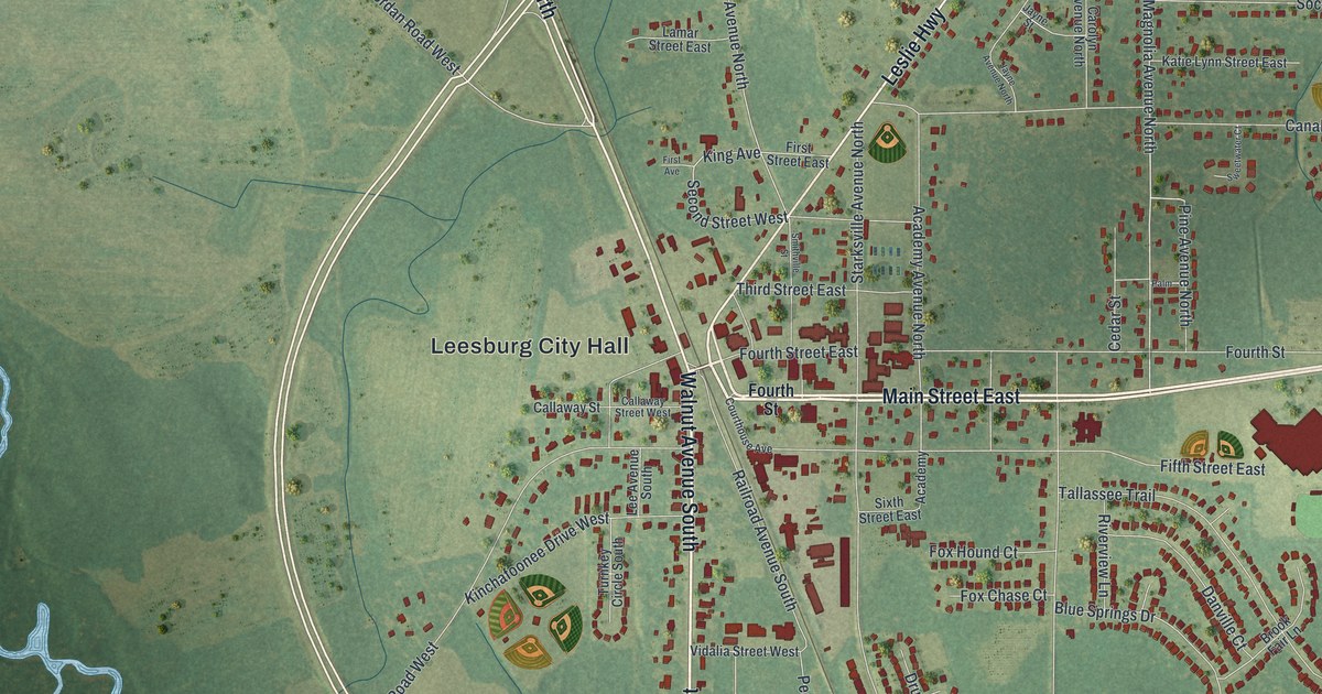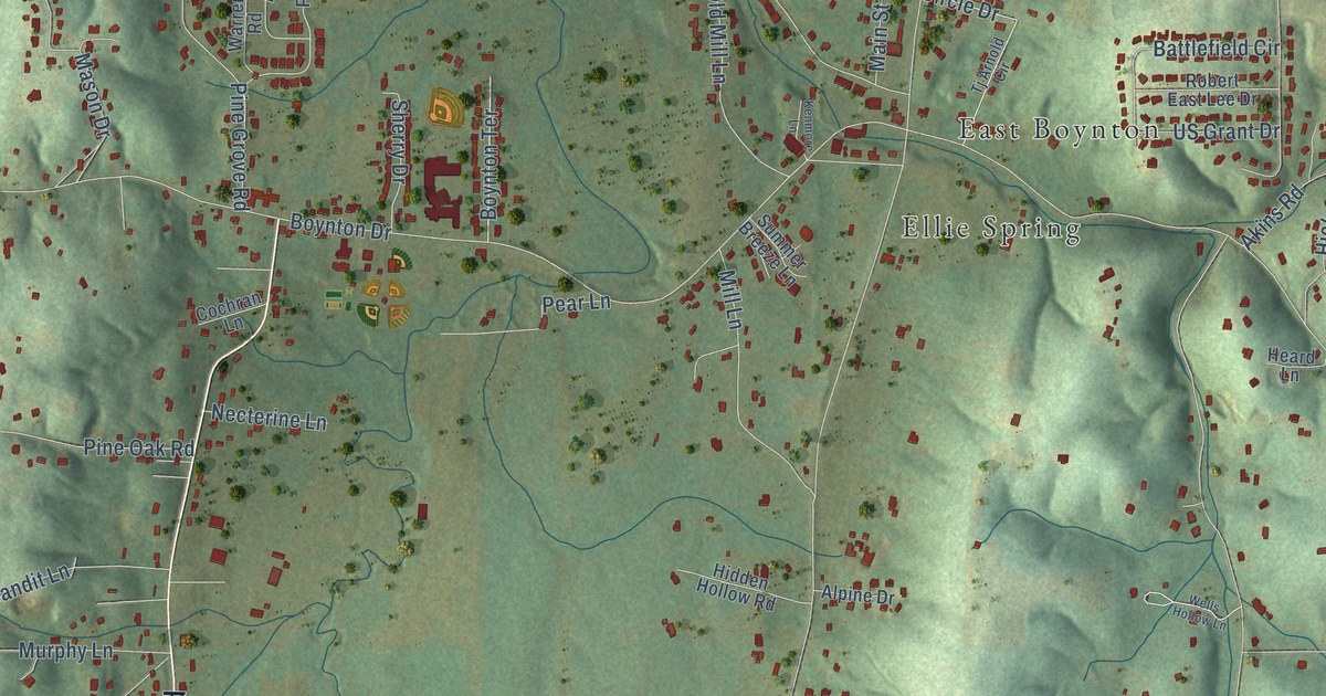
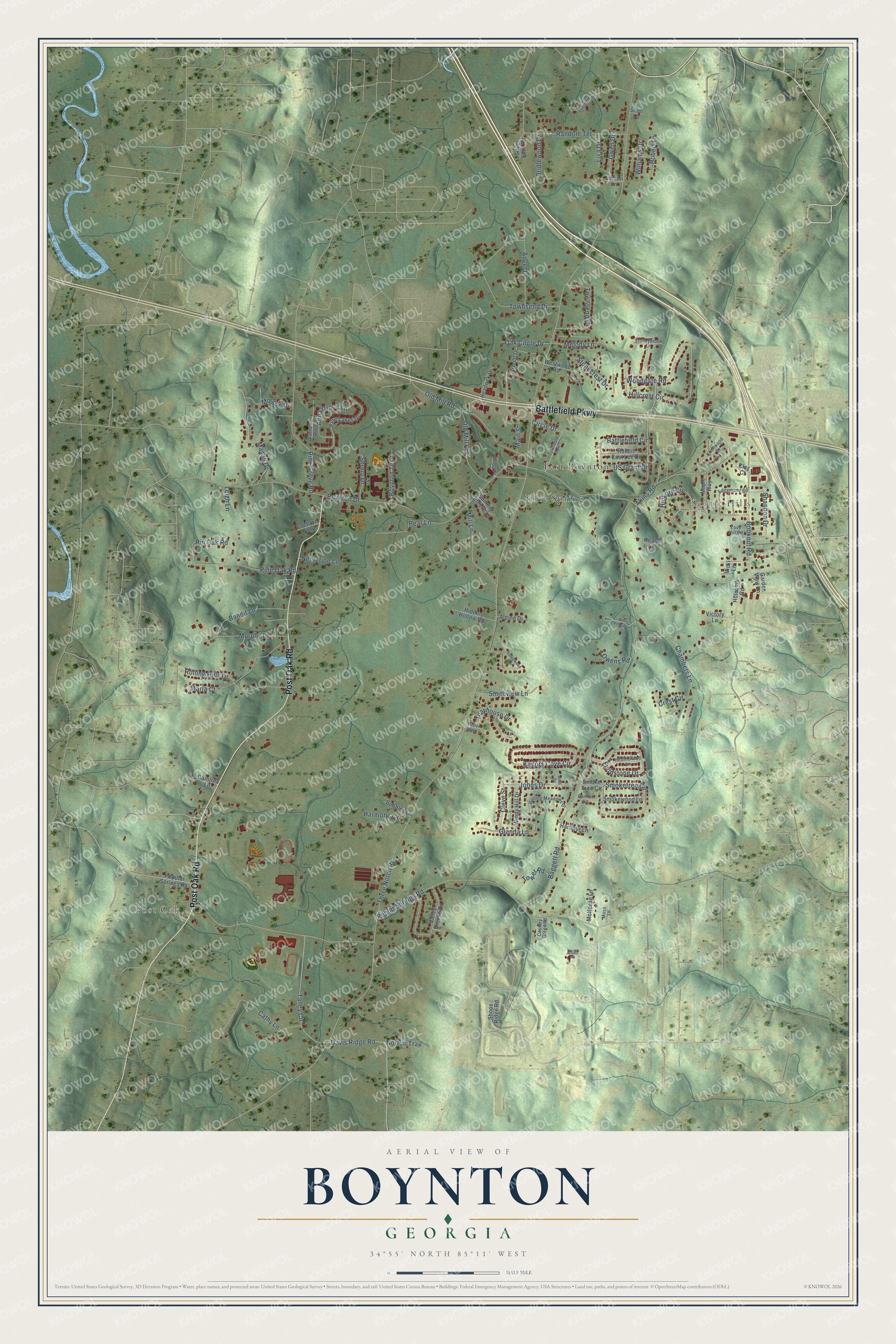
This beautifully detailed map of Boynton, Georgia was created in 2026 using aerial imagery combined with modern topographical, census, street and landmark data. It’s a one-of-a-kind view of Boynton that combines accurate data with a vintage aesthetic. The map shows every building in its true location, many of the roads carry their names, and the shaded topographic relief shows the shape of the land.
Explore an aerial view of Boynton, Georgia
On the map you’ll find Post Oak, Scenic Hills, East Boynton, and Ellie Spring, along with Battlefield Parkway, Post Oak Road, Davis Ridge Road, Three Notch Road, Boynton Drive, Poplar Springs Road, Baggett Road, Townsend Drive, and more. If you look closely you can even find your house accurately drawn in its correct location. Zoom in on the preview to look for yours.
Take a closer look at the Boynton map
Names on this map
These names are printed on this map.
Places: Post Oak, Scenic Hills, East Boynton and Ellie Spring.
Streets and roads: Battlefield Parkway, Post Oak Road, Davis Ridge Road, Three Notch Road, Boynton Drive, Poplar Springs Road, Baggett Road, Townsend Drive, Kailors Cove Circle, Woodgate Road, Akins Road, Smoketree Circle.
More street names, A to Z
Alpine Drive, Angel Lane, Anna Grace Lane, Arnold Drive, Bandit Lane, Battlefield Circle, Bookout Road, Boynton Terrace, Bridlewood Drive, Bubbles Lane, Buster Ridge Lane, Carlton Lane, Casa Loma Trail, Cathy Lane, Chambers Lane, Circle Drive, Clay Court, Cleve Street, Cochran Lane, Country Green Road, Crest Circle, Dean Lane, Edgemond Circle, Fieldstone Drive, Garden View Lane, Glenda Lane, Gwen Drive, Harbour Lane, Harmony Lane, Headrick Drive, Heard Lane, Heatherwod Lane, Hickory Circle, Hidden Hollow Road, Hillcrest Circle, Holcomb Road, Johns Drive, Josh Drive, Kenmore Lane, Knollwood Drive, Leigh Lane, Lemon Lane, Lisa Drive, Love Hill Road, Main Street, Maple Way, Maria Court, Mason Drive, McNeese Lane, Melody Lane, Mill Lane, Monroe Drive, Moss Lane, Murphy Lane, Necterine Lane, Norton Trail, Oak Circle Drive, Old Mill Lane, Old Mill Road, Owens Road, Pear Lane, Pine Grove Road, Pine Lakes Drive, Pine Oak Road, Pin Oak Road, Playhouse Drive, Popular Springs Road, Raintree Lane, Random Terrace, Robert East Lee Drive, Robert Lane, Rolling Hills Drive, Rolling Meadows Drive, Shannon Drive, Sherry Drive, Shope Ridge Road, Silent Lane, Silver Spur Road, Smithview Lane, Smoke Tree Circle, Smokewood Lane, Southwood Circle, Stonecrest Drive, Stoneybrook Lane, Summer Breeze Lane, Talley Circle, Tj Arnold Circle, Tower Road, Townsend Circle, US Grant Drive, Valley Breeze Drive, Vicki Lane, Victory Lane, Warren Road, Wells Hollow Lane, Westwood Road, Williams Drive, Windy Hill Drive.
See it on a wall
The Boynton map as a framed print. Swipe for more.


This beautifully detailed map of Boynton makes an attractive addition to your office, library, or den, and it can even be used to teach children the geography and history of the area. It also makes a great gift for anyone who grew up in Boynton or moved away. When you’re done exploring, click here to get your copy of the Boynton map.