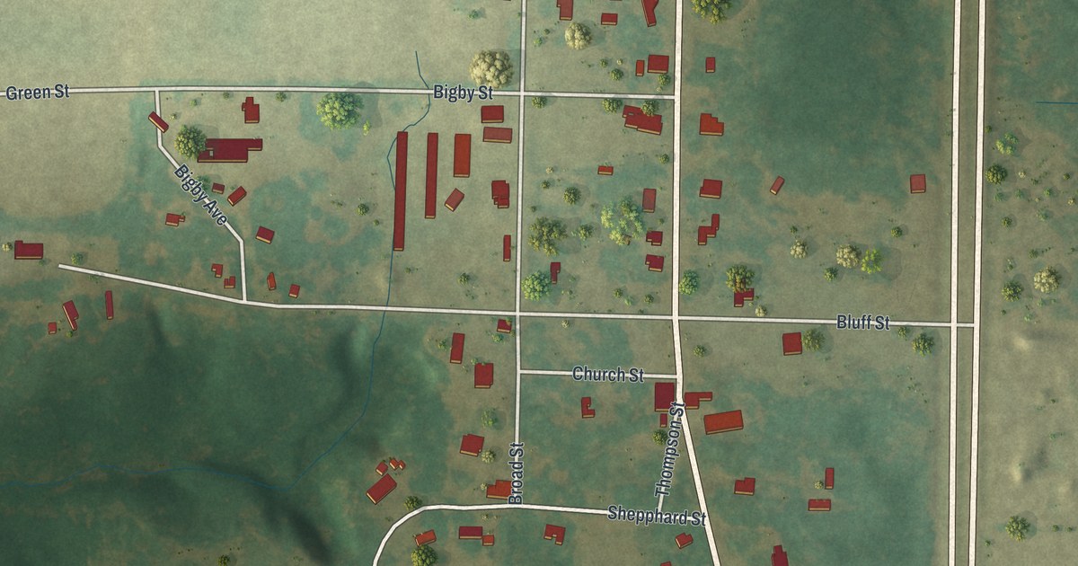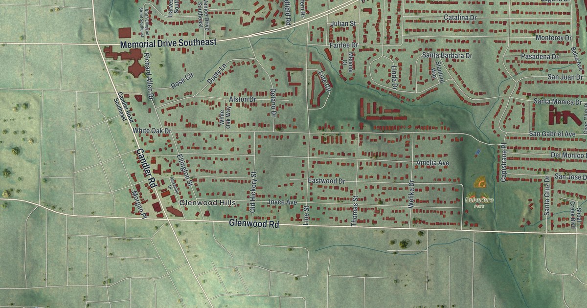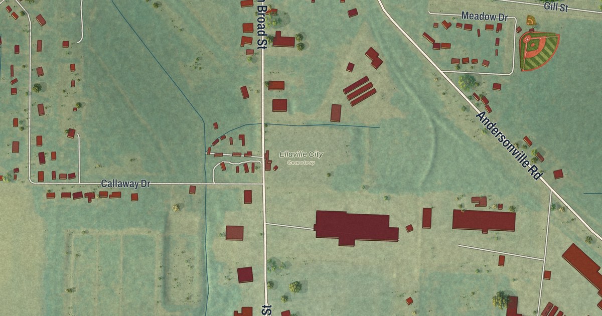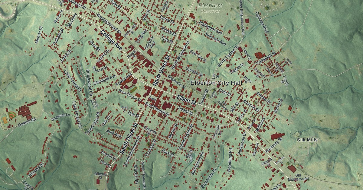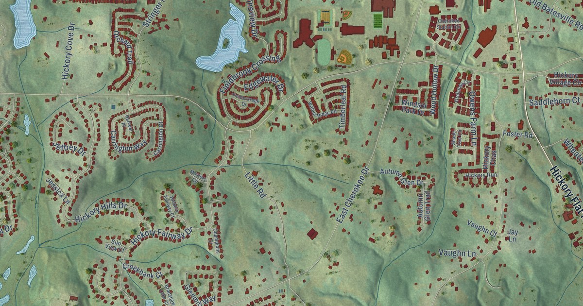
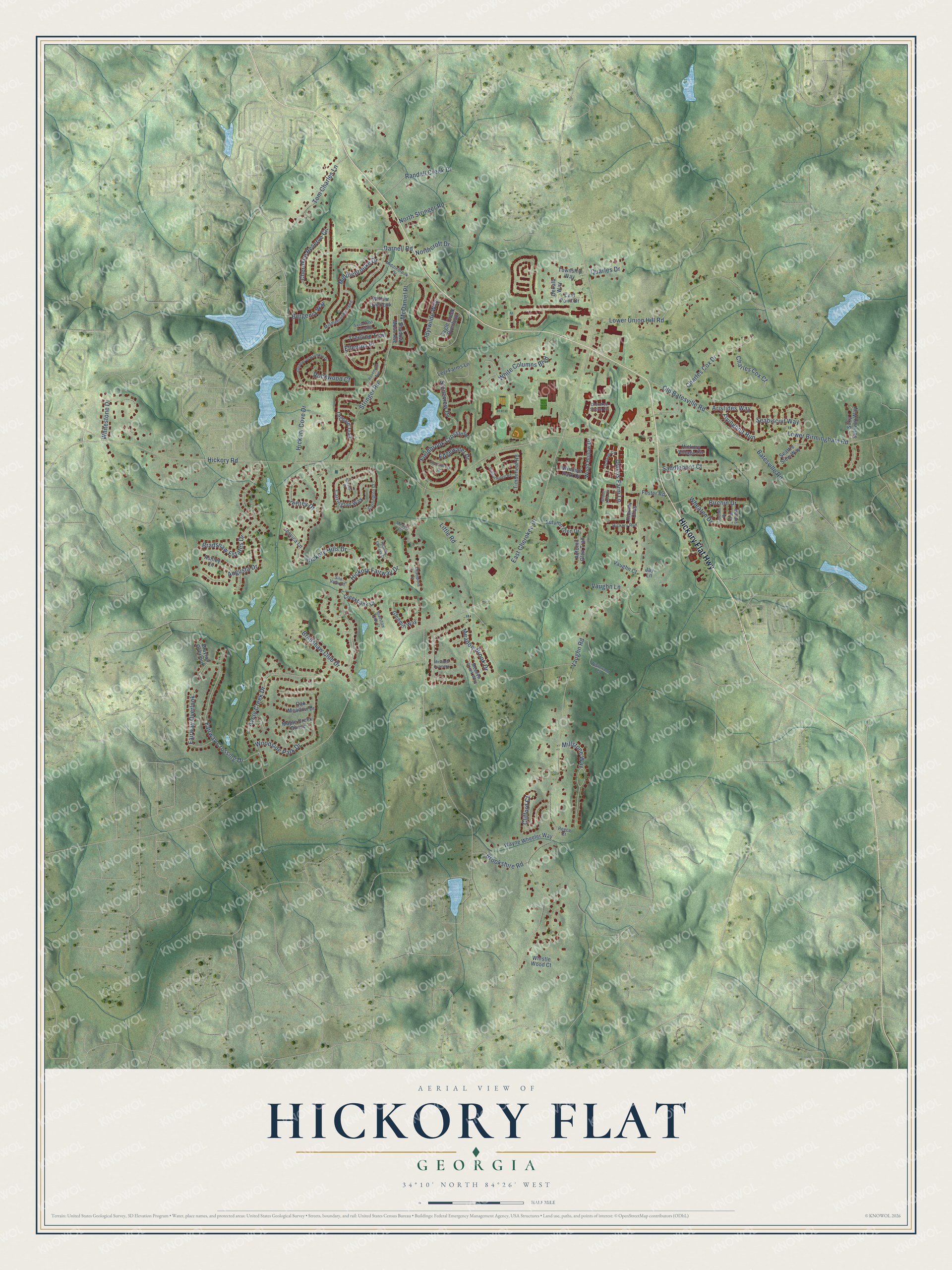
This beautifully detailed map of Hickory Flat, Georgia was created in 2026 using aerial imagery combined with modern topographical, census, street and landmark data. It’s a one-of-a-kind view of Hickory Flat that combines accurate data with a vintage aesthetic. The map shows every building in its true location, many of the roads carry their names, and the shaded topographic relief shows the shape of the land.
Explore an aerial view of Hickory Flat, Georgia
On the map you’ll find Hickory Flat Highway, Old Batesville Road, Hickory Road, Vaughn Road, East Cherokee Drive, Little Road, Hickory Fairway Drive, Stringer Road, Lower Union Hill Road, Hickory Hills Drive, Avery Creek Drive, Cherokee Reserve Circle, and more. If you look closely you can even find your house accurately drawn in its correct location. Zoom in on the preview to look for yours.
Did You Know?
From Internet Archive: "In 1876 lie settled with his parents near Hickory Flat, in Cherokee county, where he was reared and educated, and where he now resides."
Hickory Flat is a community in Cherokee County.
Take a closer look at the Hickory Flat map
Names on this map
These names are printed on this map.
Streets and roads: Hickory Flat Highway, Old Batesville Road, Hickory Road, Vaughn Road, East Cherokee Drive, Little Road, Hickory Fairway Drive, Stringer Road, Lower Union Hill Road, Hickory Hills Drive, Avery Creek Drive, Cherokee Reserve Circle.
More street names, A to Z
Aristides Way, Ashley Lane, Augusta Drive, Autumn Glen Drive, Autumn Glen Trail, Batesville Road, Bergenia Way, Birchin Drive, Bradshaw Club Drive, Bradshaw Estates Drive, Bradshaw Lake Court, Brookshire Road, Cagle Creek Overlook, Carrington Court, Carrington Way, Champions Court, Charles Cox Court, Charles Cox Drive, Cherokee Station Circle, Clifford Court, Cochin Drive, Creekbank Court, Darnell Road, Dekalb Way, East Point Drive, Edgewater Drive, Ellenton Place, Fairway Crossing Drive, Fairway Overlook, Fieldbrook Crossing, Flyingbolt Run, Foster Road, Gardens of Harmony Drive, Glenmill Way, Harvest Place, Hickory Chas, Hickory Cove Drive, Hickory Fairway Court, Hickory Run, Hickory Village Circle, Idylwilde Way, Jay Lane, Jeffrey Drive, Jessica Lane, Levi Farms Lane, Lower Birmingham Road, Maple Creek Chase, Marans Way, Masters Circle, McDaniel Place, Meadow Brook Drive, Meadow Creek Way, Meadow Overlook, Middlebrook Drive, Middlebrooke Bend, Middlebrooke Drive, Millstone Way, Northcroft Drive, North Stringer Road, Oak Meadow Drive, Orchards Circle, Orchard Trail, Owens Farm Lane, Quarles Drive, Randall Creek Drive, Reece Court, Rockwood Court, Rosemont Avenue, Saddlehorn Court, Sassafrass Crossing, Seabiscuit Way, Seattle Slew Way, Shade Tree Circle, Shadow Moss Avenue, Silky Sullivan Way, Silo View Court, Stoneview Drive, Timbercreek Drive, Timberleaf Road, Tom Charles Lane, Township Way, Treeline Trail, Vaughn Court, Vaughn Lane, Walnut Ridge Road, Wayfair Overlook, Wayne Wheeler Way, Wheaten Drive, Whistle Wood Court, White Columns Boulevard, Whitestone Drive, Willow Overlook, Windsor Park Drive, Wistlewood Court, Wood Hollow Drive, Woodside Park Drive.
See it on a wall
The Hickory Flat map as a framed print. Swipe for more.


This beautifully detailed map of Hickory Flat makes an attractive addition to your office, library, or den, and it can even be used to teach children the geography and history of the area. It also makes a great gift for someone who left Hickory Flat and still calls it home. When you’re done exploring, click here to get your copy of the Hickory Flat map.