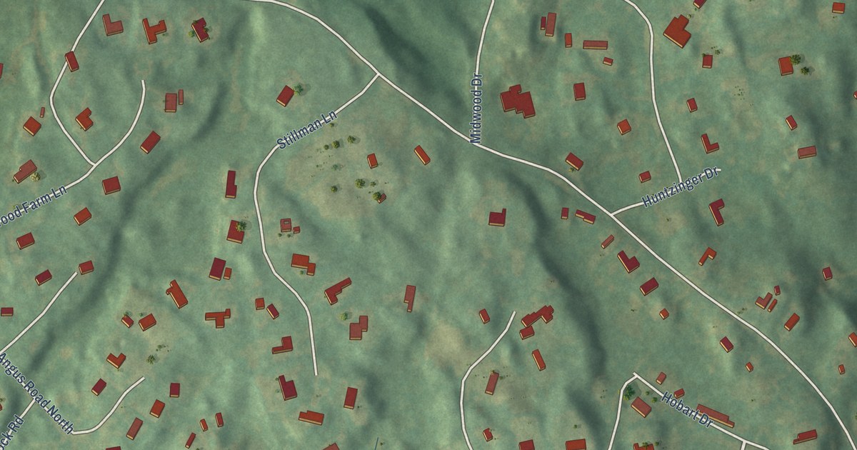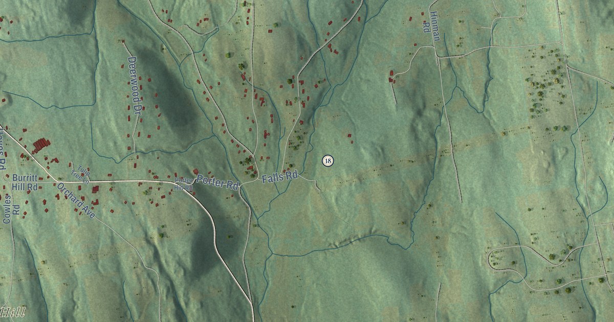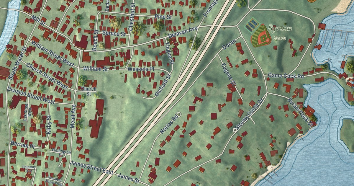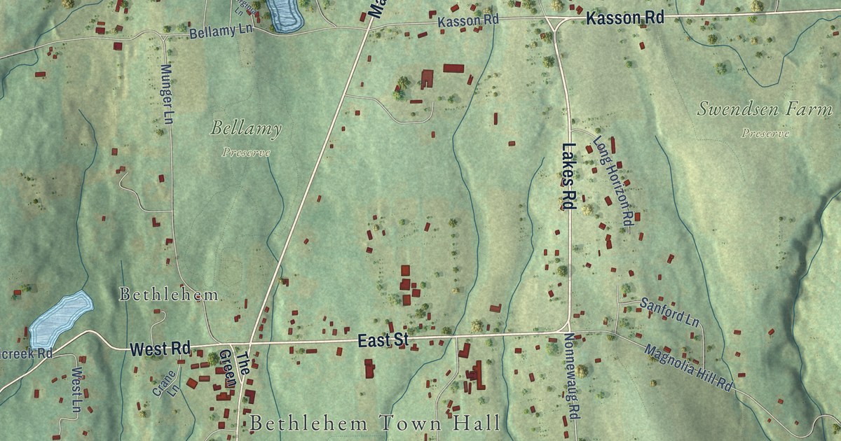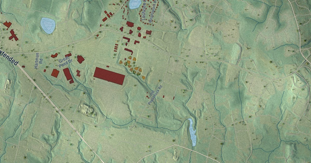
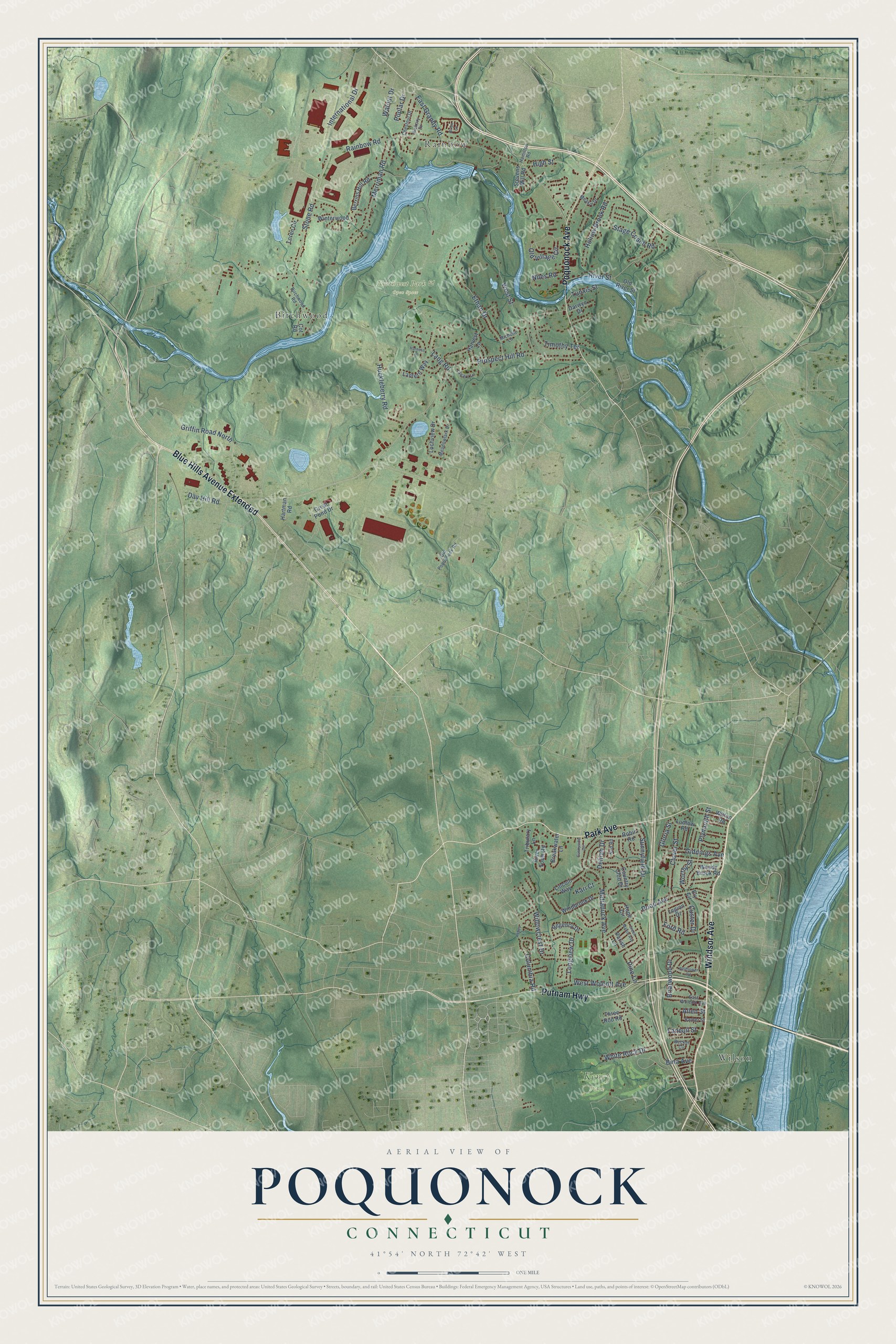
This beautifully detailed map of Poquonock, Connecticut was created in 2026 using aerial imagery combined with modern topographical, census, street and landmark data. It’s a one-of-a-kind view of Poquonock that combines accurate data with a vintage aesthetic. The map shows every building in its true location, many of the roads carry their names, and the shaded topographic relief shows the shape of the land.
Explore an aerial view of Poquonock, Connecticut
On the map you’ll find Keney Park, Northwest Park & Open Space, Rainbow, Wilson, Birchwood, and Blue Hills Avenue Extended, along with Park Avenue, Windsor Avenue, Poquonock Avenue, Putnam Highway, Rainbow Road, Prospect Hill Road, and more. If you look closely you can even find your house accurately drawn in its correct location. Zoom in on the preview to look for yours.
Did You Know?
From Internet Archive: "In 1885 'le was appointed postmaster of Poquonock. during President Cleveland's first administration, but the following year he resigned the office, the brothers having sold their store at that place."
Poquonock is a community in Capitol County.
Take a closer look at the Poquonock map
Names on this map
These names are printed on this map.
Places: Keney Park, Northwest Park & Open Space, Rainbow, Wilson and Birchwood.
Streets and roads: Blue Hills Avenue Extended, Park Avenue, Windsor Avenue, Poquonock Avenue, Putnam Highway, Rainbow Road, Prospect Hill Road, Matianuck Avenue, Day Hill Road, Stone Road, West Street, Lang Road.
More street names, A to Z
Abbey Lane, Allen Street, Barber Street, Becker Circle, Bellflower Road, Berrios Hill Road, Bina Avenue, Birchwood Road, Breakwater Lane, Brian Lane, Briarwood Drive, Chestnut Drive, Cleary Lane, Clover Street, Columbia Road, Cot Road, Country Club Drive, Custer Drive, Darwyn Drive, Delilah Drive, East Granby Road, East Wolcott Avenue, Ely Circle, Ethan Drive, Faneuil Street, Ford Road, Giddings Avenue, Gloria Street, Great Pond Drive, Green Manor Avenue, Griffin Road North, Hamilton Road, Harness Lane, Hartman Road, Harvest Lane, Hickory Drive, High Street, Hollow Brook Road, Hope Circle, Huckleberry Road, International Drive, Kari Court, Lantern Way, Legion Drive, Lincoln Way, Lochview Drive, Longview Drive, Loren Circle, Ludlow Road, Meadowlark Drive, Meakin Drive, Merriman Road, Michelle Lane, Niles Road, Nod Road, Old Poquonock Road, Old River Street, Old Village Circle, Parish Lane, Pine Lane, Plymouth Street, Poplar Drive, Regency Drive, River Street, River Town Road, Robin Road, Rood Avenue, Stage Coach Road, Stevens Mill Road, Sunnyfield Drive, Sunnyside Circle, Three Rod Road, Timothy Terrace, Tributary Lane, Tunxis Street, Walnut Drive, West Wolcott Avenue, White Rock Drive, Willowcrest Drive, Wilton Road, Windbrook Drive, Winterwood, Woody Brook Road, Worthy Street.
See it on a wall
The Poquonock map as a framed print. Swipe for more.


This beautifully detailed map of Poquonock makes an attractive addition to your office, library, or den, and it can even be used to teach children the geography and history of the area. It also makes a great gift for someone who left Poquonock and still calls it home. When you’re done exploring, click here to get your copy of the Poquonock map.